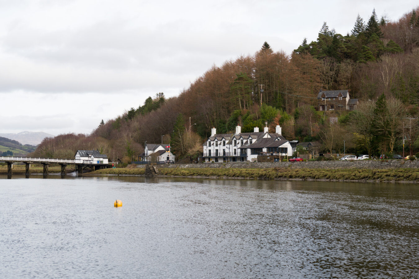
Afon Mawddach (Afon means ‘river’ in Welsh) originates from an area north of Dduallt in the Eryri National Park (Snowdonia). It is 28 miles (45 km) long and meets the sea next to the town of Barmouth, forming the wide, sandy Mawddach Estuary, which stretches 8 miles inland to the town of Dolgellau.
The Mawddach Trail, which connects Dolgellau to Barmouth and the coast, is well loved by walkers and cyclists and is part of the route described in this article.
However, rather than taking you along the water and to the coast, I’ll show you how to reach the top and admire the magnificent view of the estuary by walking the New Precipice Walk.
IN A NUTSHELL
New Precipice Walk
(circle route from Penmaenpool)
How long is it? It’s about 5.2 miles (8.4 km) and should take between two and a half to three hours. The panorama walk at the top is approximately 0.4 miles (640 metres).
How easy is it? There are many steep sections on uneven terrain, and some areas can be very muddy. The ascent is 809 feet (247 metres). The panorama walk itself is flat.
Can I bring my children? Any child younger than six or seven years old might struggle. As always, you know your child best and what they can manage.
Accessibility: Part of the panoramic trail can be accessed by wheelchair users. The starting point is reached via a country road with a few gates to open.
Where can I park my car? A few spaces are available by Foel Ispri Uchaf, where the accessible trail begins, and these should be left for those with mobility issues. If you start the walk from the Mawddach River, as I illustrate in this article, you can park at Penmaenpool Bridge. Alternatively, you can start the walk from Dolgellau and park in the town.
Can I get there by public transport? The G21 bus, operated by Lloyd Coaches, stops in Penmaenpool on the Dolgellau – Machynlleth route (via Fairbourne and Aberdyfi). More bus connections are available in Dolgellau (Aberystwyth, Barmouth, Wrexham, Bangor).
Are there any amenities nearby? There are none on the panoramic trail, but you’ll find public toilets and the George III pub in Penmaenpool, along with plenty of options in Dolgellau.
New vs Old Precipice Walk
Googling this hike can sometimes be confusing, as there are two walks that share the same name. The New Precipice Walk, which I have described in this article, is located west of Dolgellau. The second, simply called Precipice Walk, is situated further east, and north of Dolgellau.
The older Precipice Walk is a circular hike around the historic 12th-century Nannau estate and along the shore of Llyn Cynwch. It is a shorter walk with some ascent and descent, covering approximately 3.5 miles and taking around two hours to complete. You can read more about it in our separate article.
New Precipice Walk Map And Route
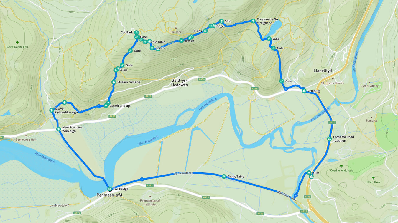
You may find a few variations of this hiking route online. The one I followed starts from the Penmaenpool Toll Bridge, which you need to cross (a 10p fee for pedestrians). You then head into the woodlands on the other side of the estuary and begin the climb up to Foel Ispri Uchaf, where the New Precipice Walk begins.
From there, you descend, passing a few ruins and another beautiful woodland before reaching the Dolgellau bypass—arguably the least interesting section—before making your way along a narrow path beside the River Mawddach. Finally, you follow the last stretch along the Mawddach Trail, which takes you back to Llynpenmaen (Penmaenpool in Welsh).
Free PDF guide!
- If you subscribe to our newsletter, you’ll get access to our exclusive members’ area, where you can download a mobile-friendly PDF guide and a GPX file of this walk.
How To Get There
You have a few options for where to start the walk. Personally, I find it quite nice to begin and end at the Penmaenpool Toll Bridge, where there is free parking and the opportunity to enjoy refreshments or a meal at the George III after the hike. If you’re travelling with an electric vehicle, there are also slow 7kW chargers available.
See Penmaenpool on
Google Maps | Apple Maps
Alternatively, you could park in Dolgellau and start the walk from the town, which might be a better option if you prefer to have more amenities nearby. In this case, you could park at the Marian Mawr Pay and Display car park, where you’ll also find 50kW EV chargers.
From there, a trail along the river leads to the start of the Mawddach Trail, passing a rugby field and crossing a metal bridge. You’ll then cross the A493 before joining the Mawddach Trail.
See the Marian Mawr car park on
Google Maps | Apple Maps
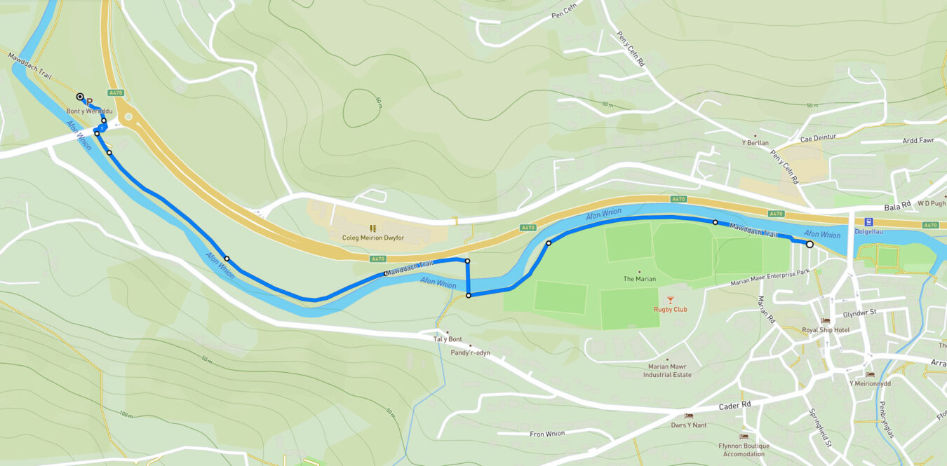
There is also a smaller car park, free of charge, just outside the town, at the beginning of the Mawddach trail.
See Mawddach trail small car park on
Google Maps | Apple Maps | what3words
People with mobility issues and wheelchair users can reach the Foel Ispri Uchaf farm at the top by car. You can get there via a country road, passing through the small hamlet of Taicynhaeaf, which is the same route walkers take. However, instead of turning right onto the footpath, continue driving up and follow the road. Note that spaces are limited at Foel Ispri Uchaf, and there are a few gates to open.
See Foel Ispri Uchaf car park on
Google Maps | Apple Maps
By Bus
If you want to stop at Penmaenpool, you can take the G21, which connects Dolgellau and Machynlleth via the coastal route (Fairbourne, Tywyn, and Aberdyfi).
If you start from Dolgellau, there are more connections available, with buses from Aberystwyth, Barmouth, Wrexham, and Bangor. For more information, check Traveline.cymru.
Video
Going Over The Bridge
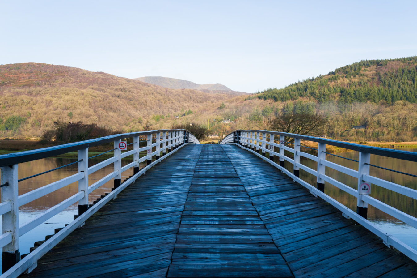
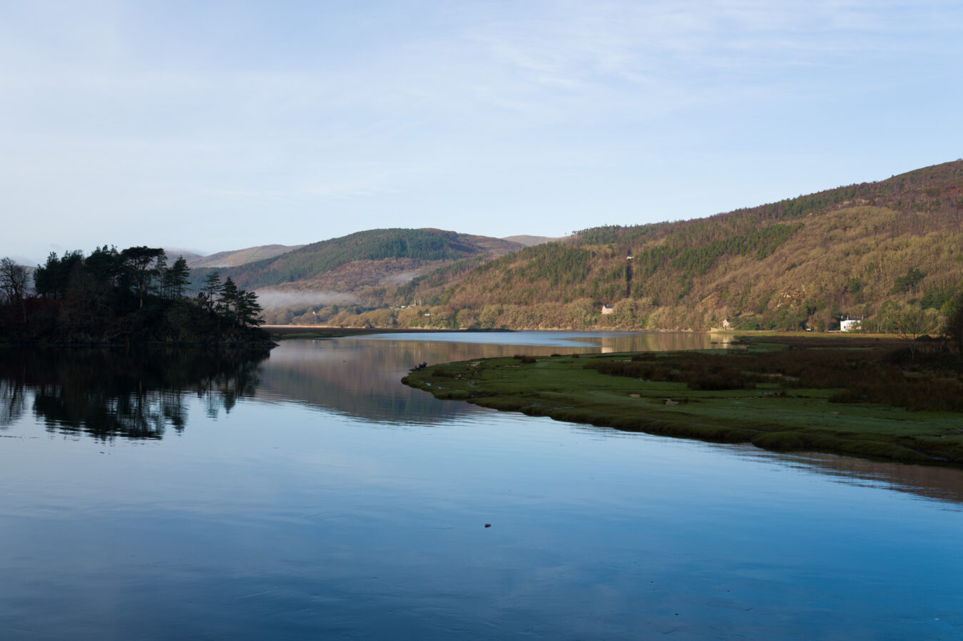
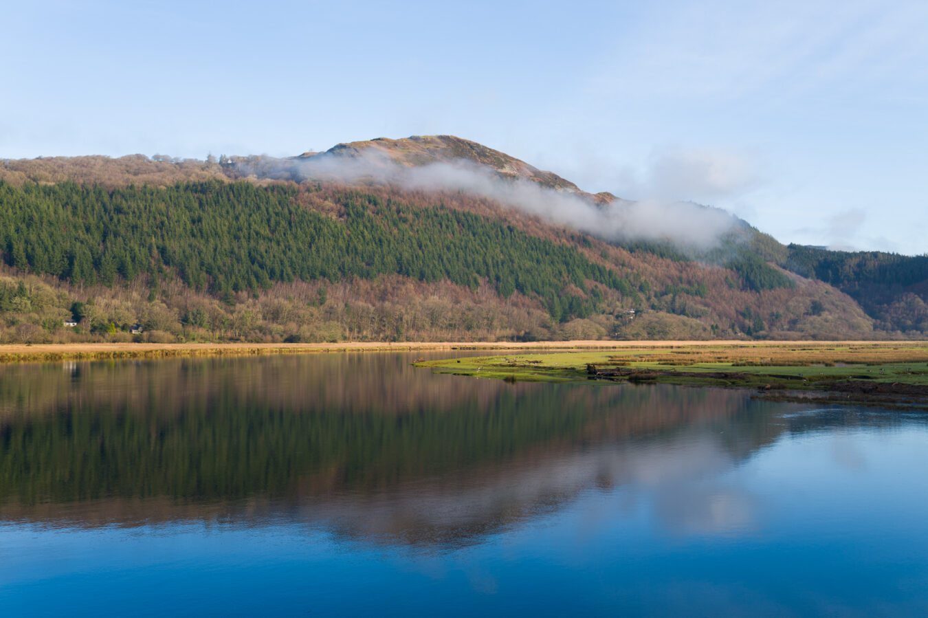
After a quick cup of coffee at the George III, I crossed the Toll Bridge and headed towards the A496 on the other side of the estuary. Even walkers need to pay the toll, but it’s only 10p (cash or card). Do take a moment to admire the tranquillity of the estuary and hills while walking on the wooden bridge.
penmaenpool toll bridge
- The bridge is a Grade II listed structure. It was built in 1879 to replace a ferry crossing.
- Vehicles under 2.5 tonnes can cross daily, but the bridge remains closed at night.
- You’ll spot the remains of a train station on the former Aberystwyth and Welsh Coast line.
- The Toll Bridge Cottage can be booked if you fancy an overnight staying.
After passing the bridge, you need to walk along a narrow B road with no pavement, so take extra care with cars coming in either direction. Once you reach an A-road, look in both directions before crossing safely to the other side to enter the small hamlet of Taicynhaeaf. By the red letter box, you’ll see a wooden pole with the New Precipice Walk marked on it.
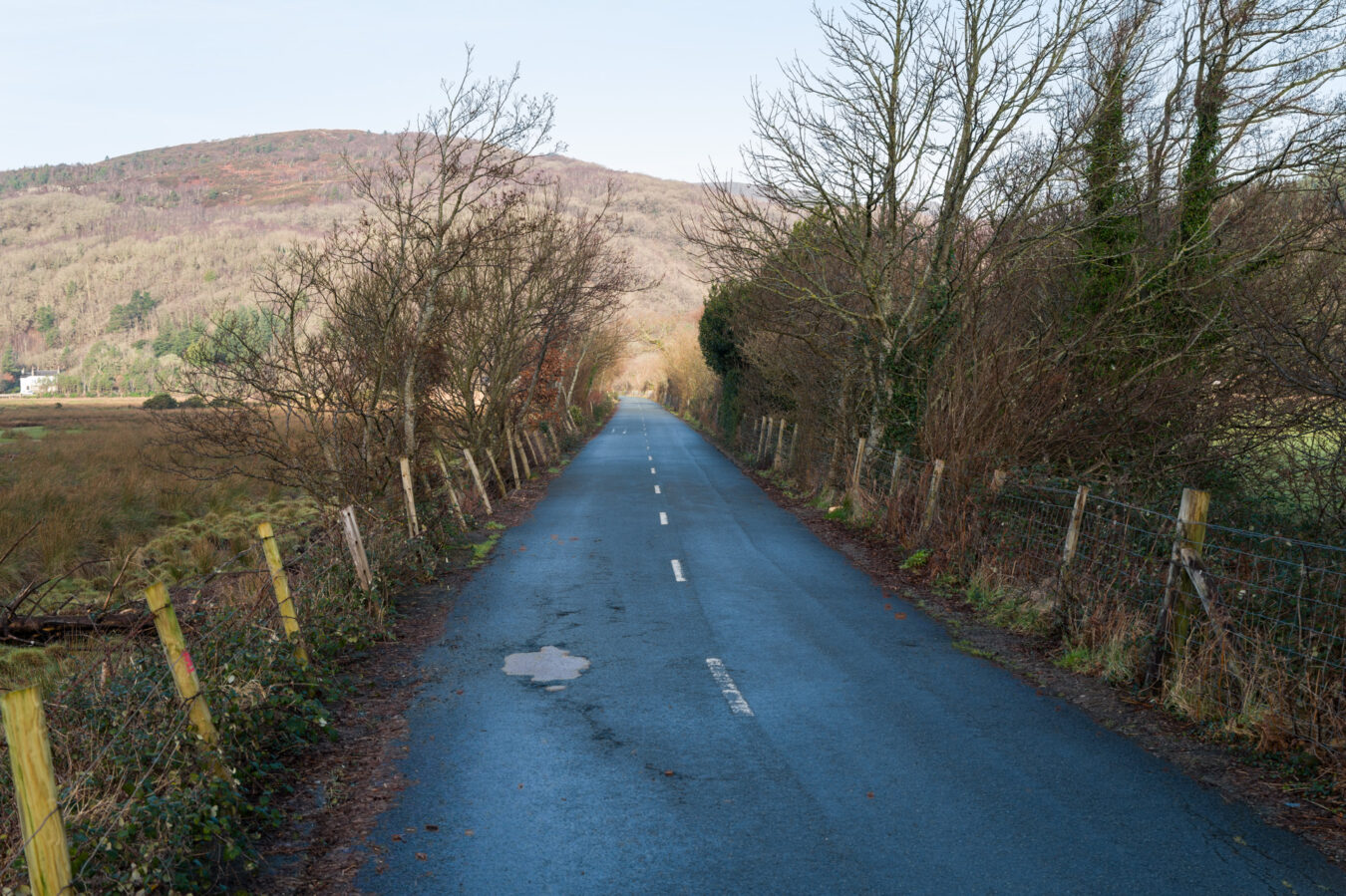
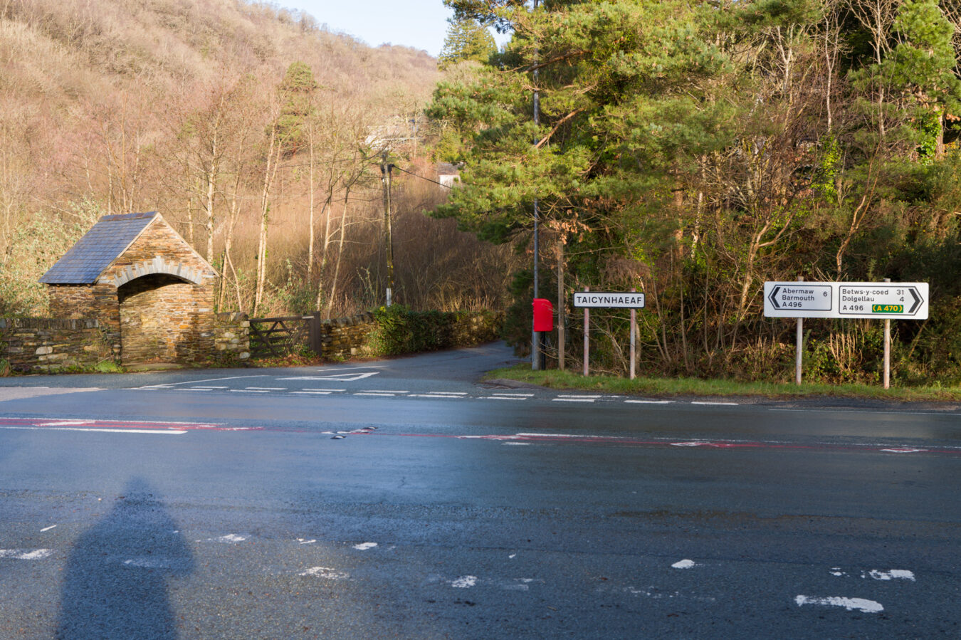
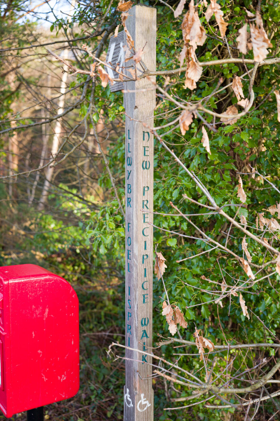
Follow the small tarmac road and its winding corners as you go uphill for about 200 metres (220 yards). A trail sign, written only in Welsh (Llwybr Cyhoeddus, which means ‘public footpath’), shows you where to go. The path doesn’t look very inviting and can be quite wet. I hope you’ll wear appropriate shoes!
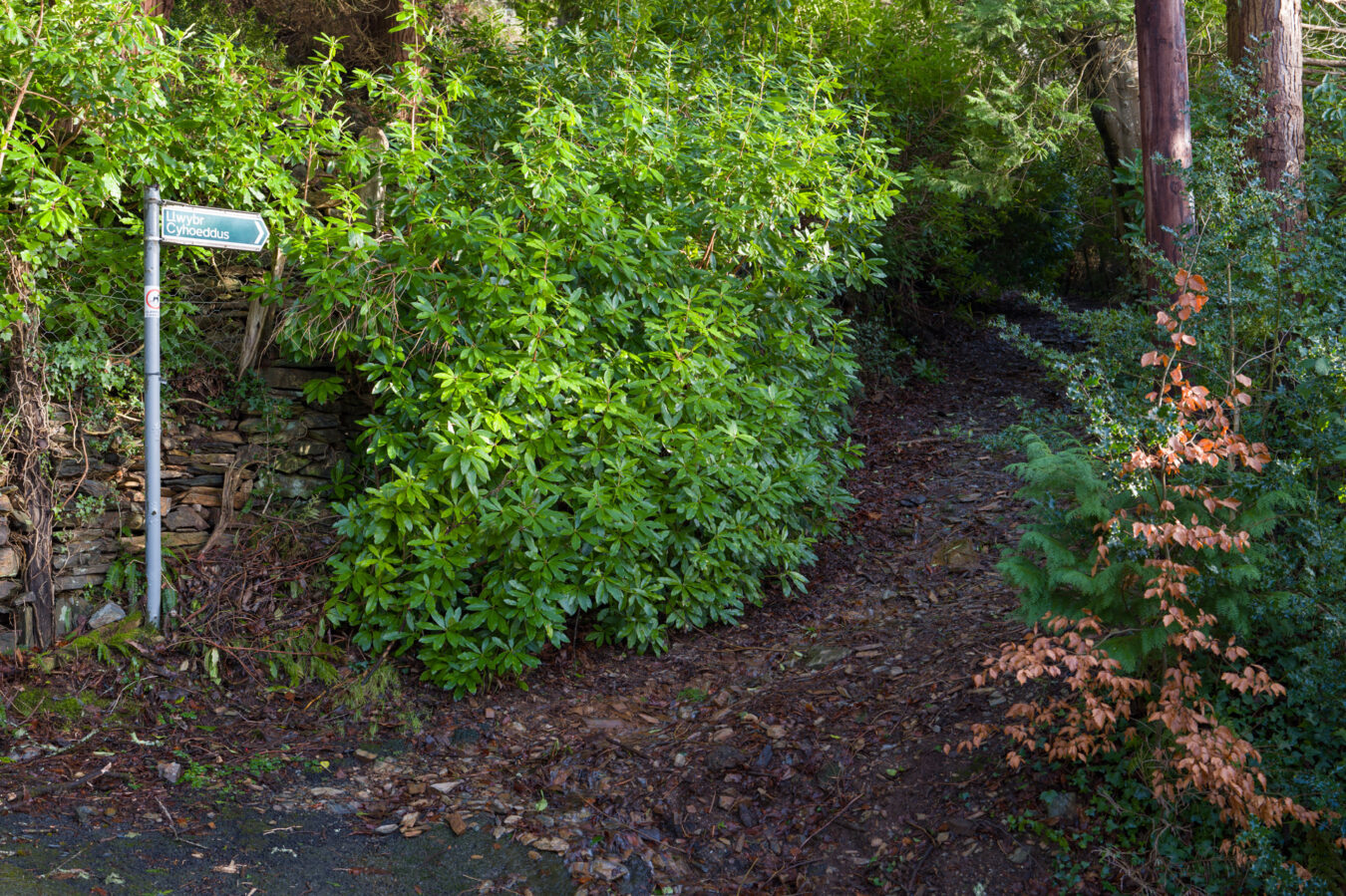
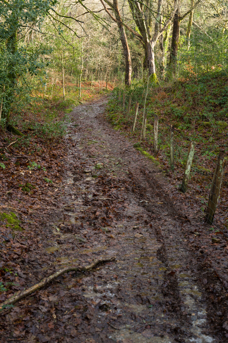
Follow the path uphill and turn right at the path junction. You’ll soon reach a fork, where the entrance to the woodland is on the right, marked by a gate and a walking sign.
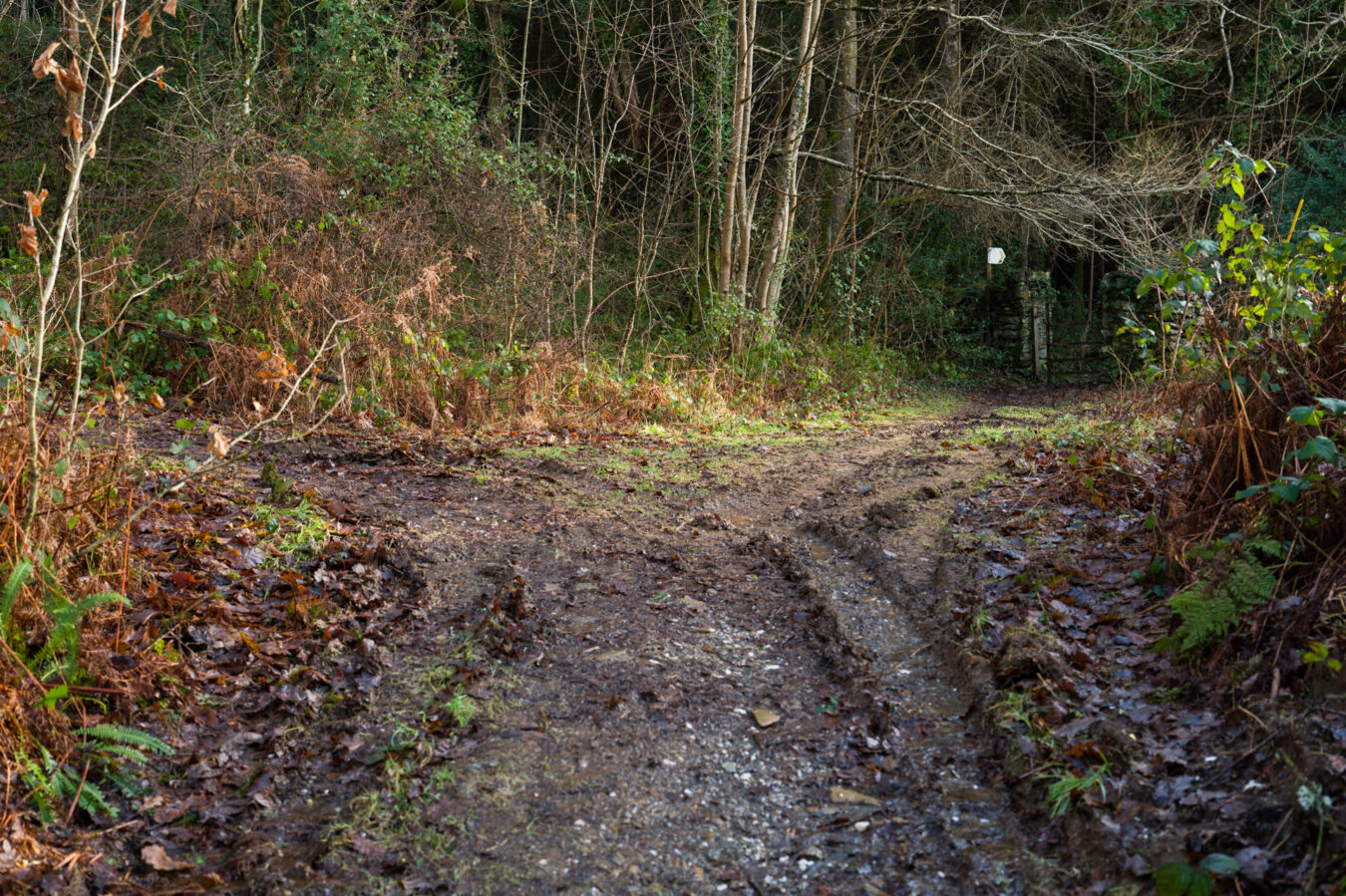
Into and Up the Woodland
The last time I went, there were a few trees down and in the way, most likely due to recent storms, so you may need to walk around or underneath them. After a short up-and-down section among the trees, you’ll come across a wall, which you cross in the middle, then continue along a fence and, finally, an old wall on your right.
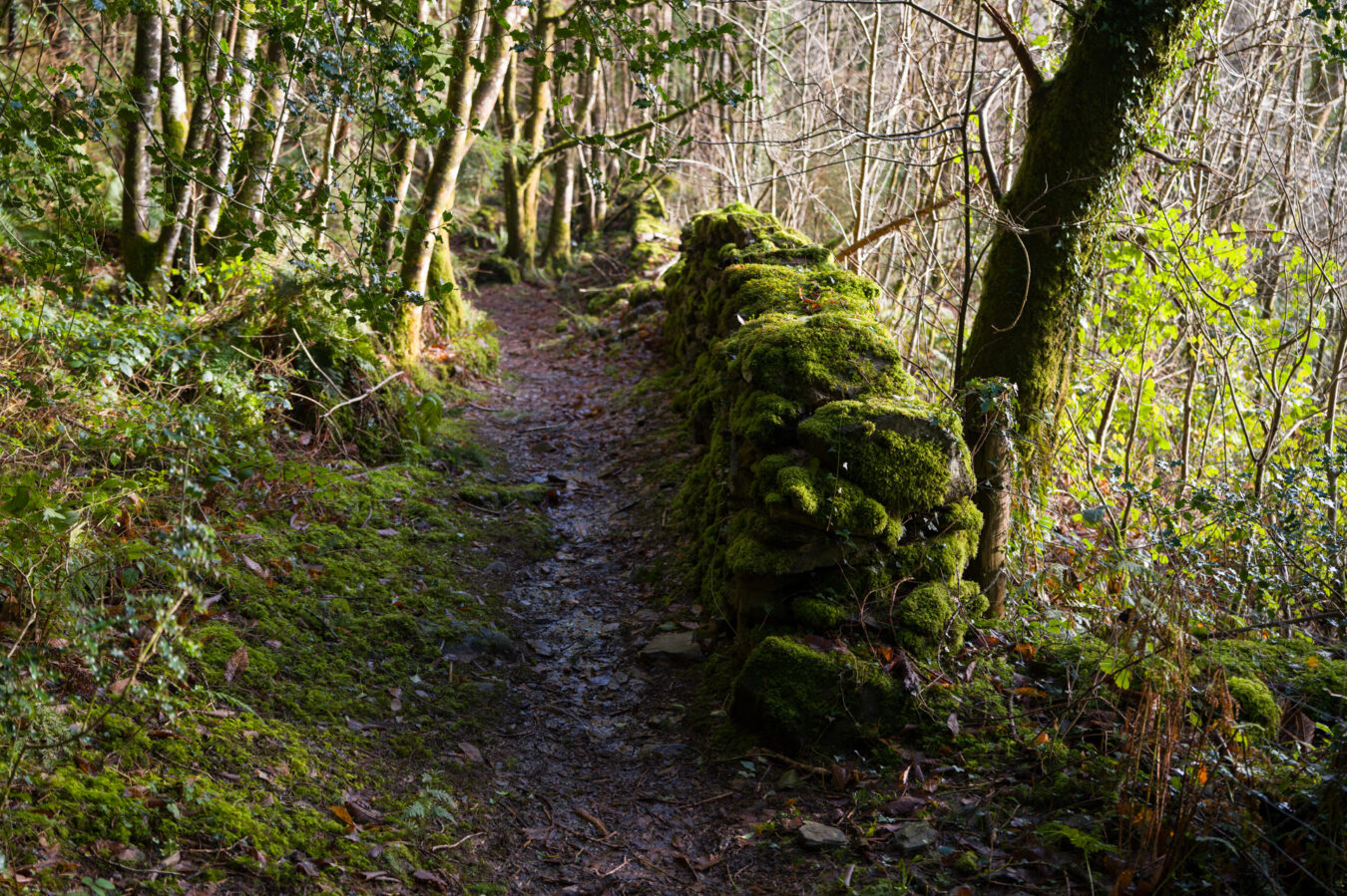
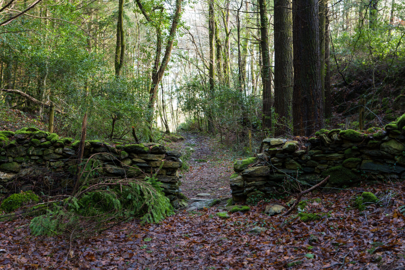
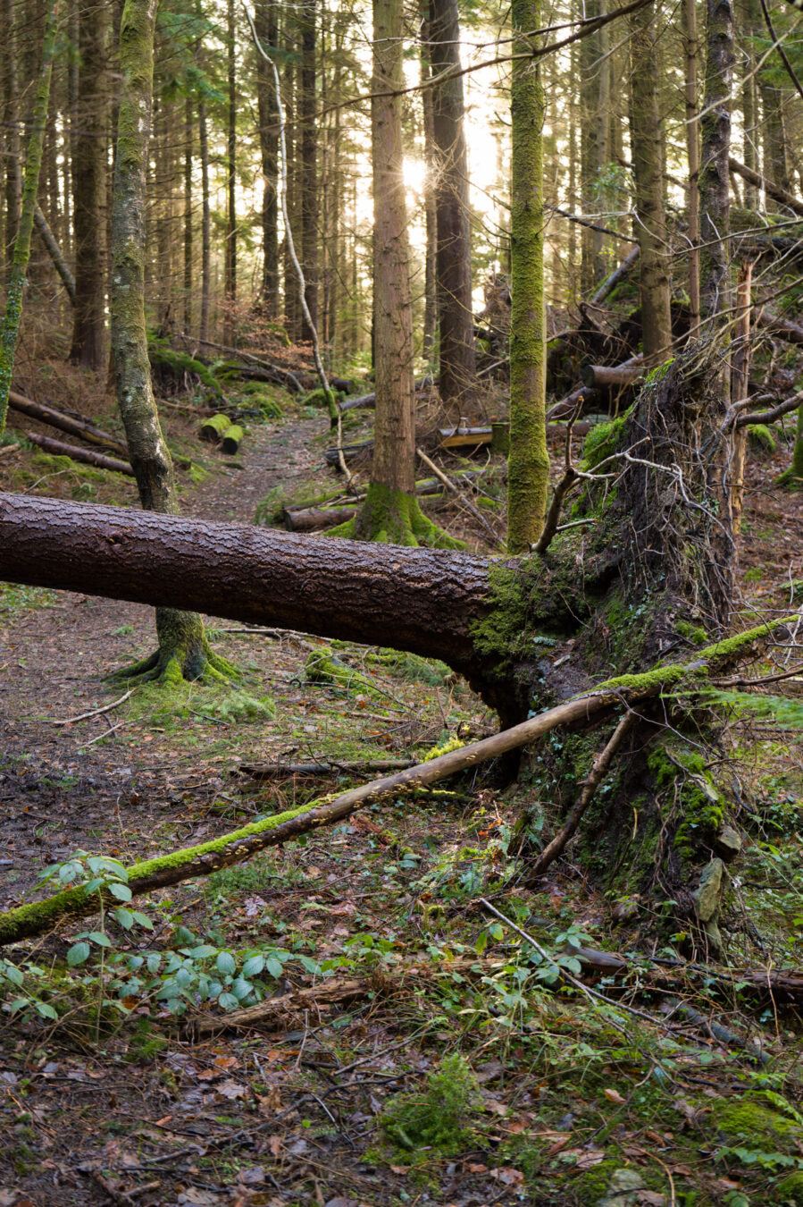
Walk slowly here, as about 250 metres in (270 yd), you’ll need to go left and up the hill. The last time I was there, the sign was on the floor, so it wasn’t immediately visible. There is an old farm gate on your right, serving as a visual reference for when to look for the path leading uphill.
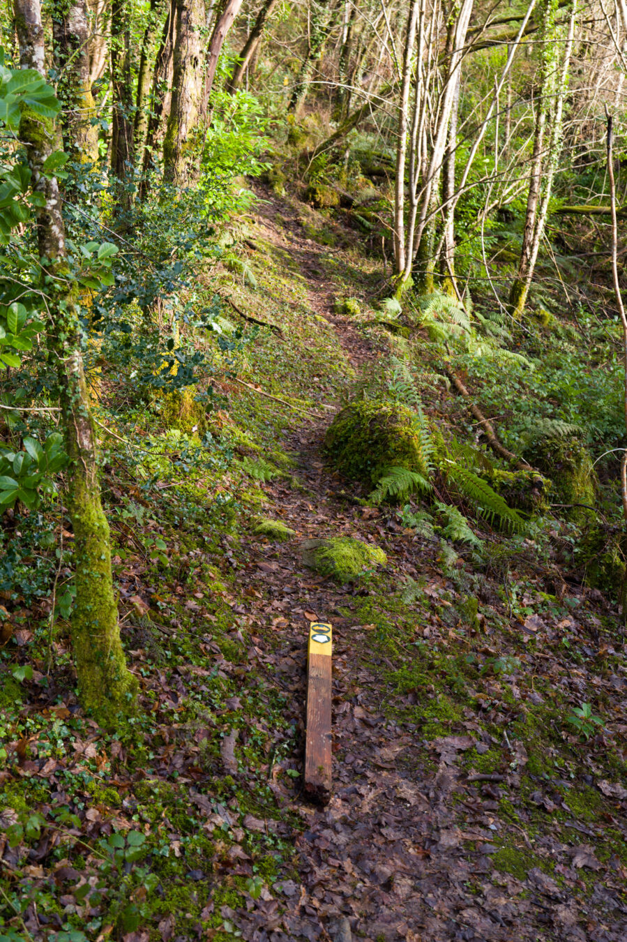
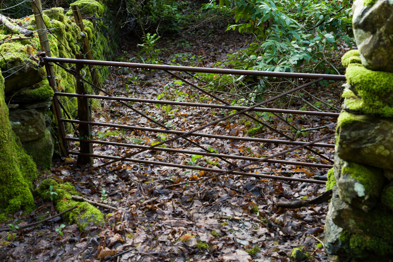
As you start to climb, you’ll soon pass another sign confirming you’re on the right track. Here, the path ascends quite steeply, so take your time.
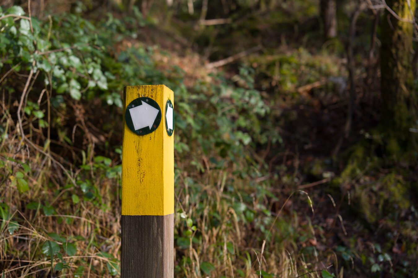
Not far from there, you’ll reach a grassy forest track. Continue for a few metres and look for another sign on the left, indicating where the climb continues.
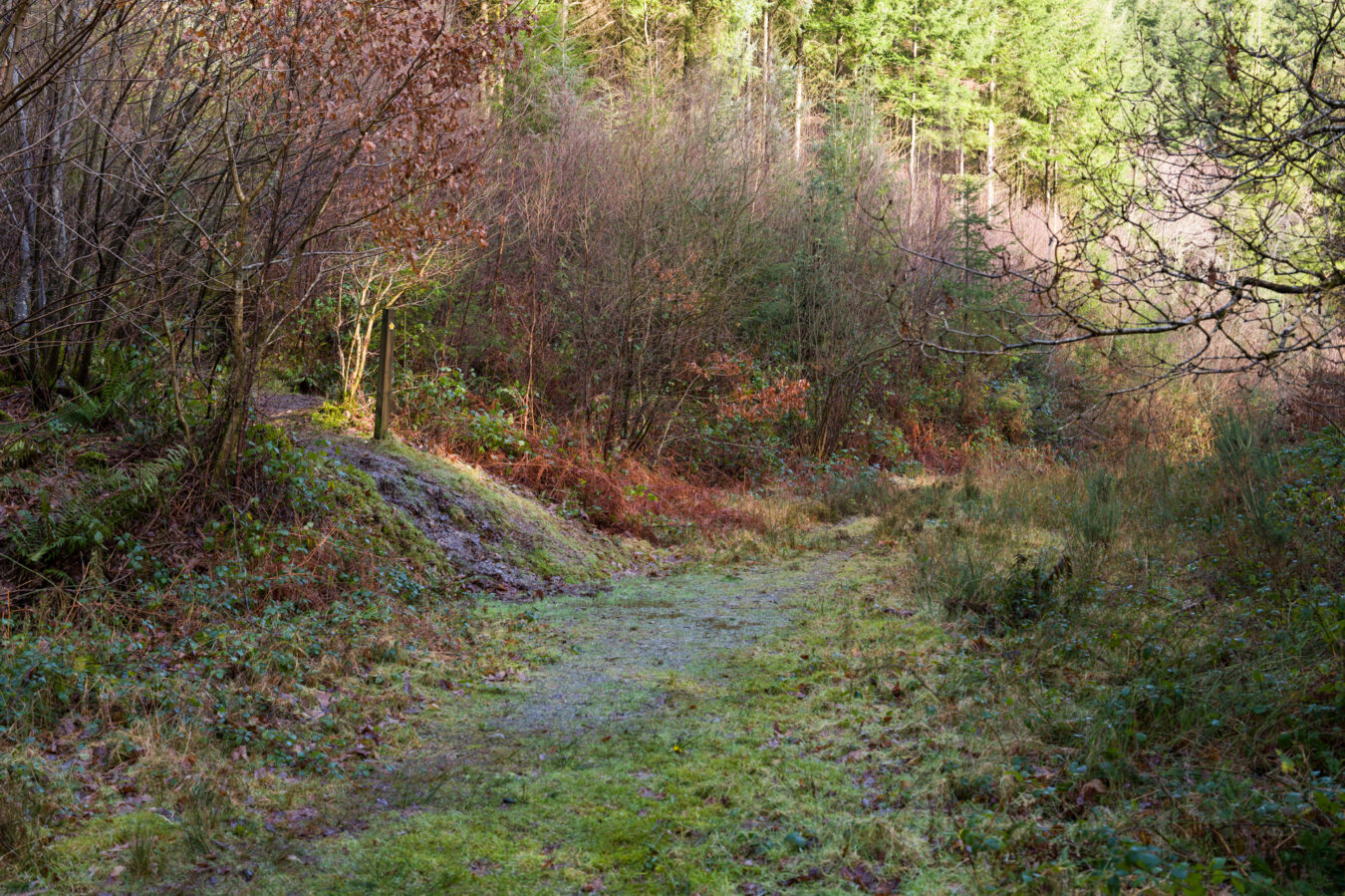
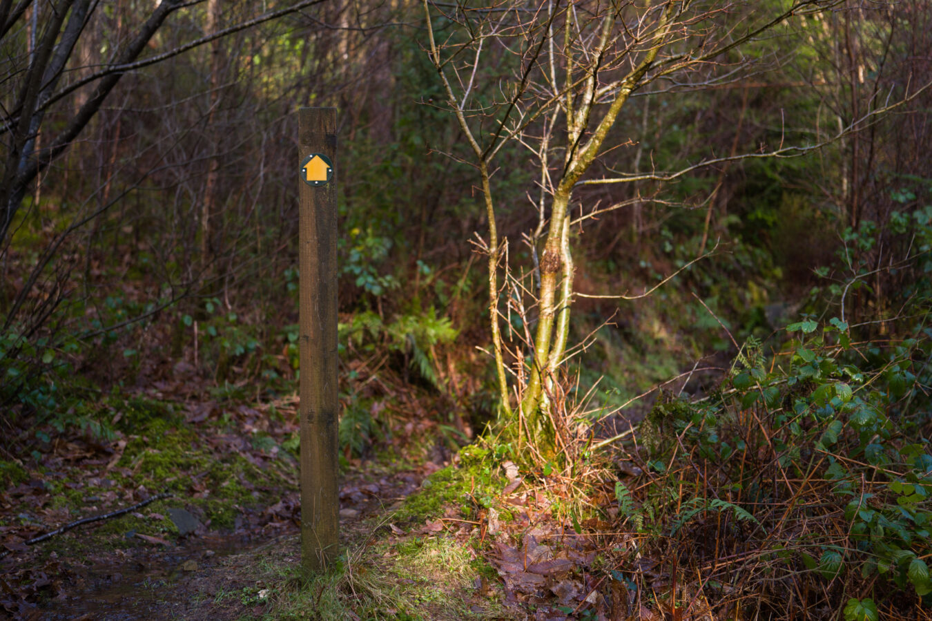
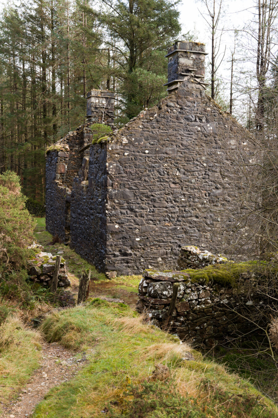
You’re entering a beautiful part of the woodland here, with a small stream and the ruins of an old farm nearby.
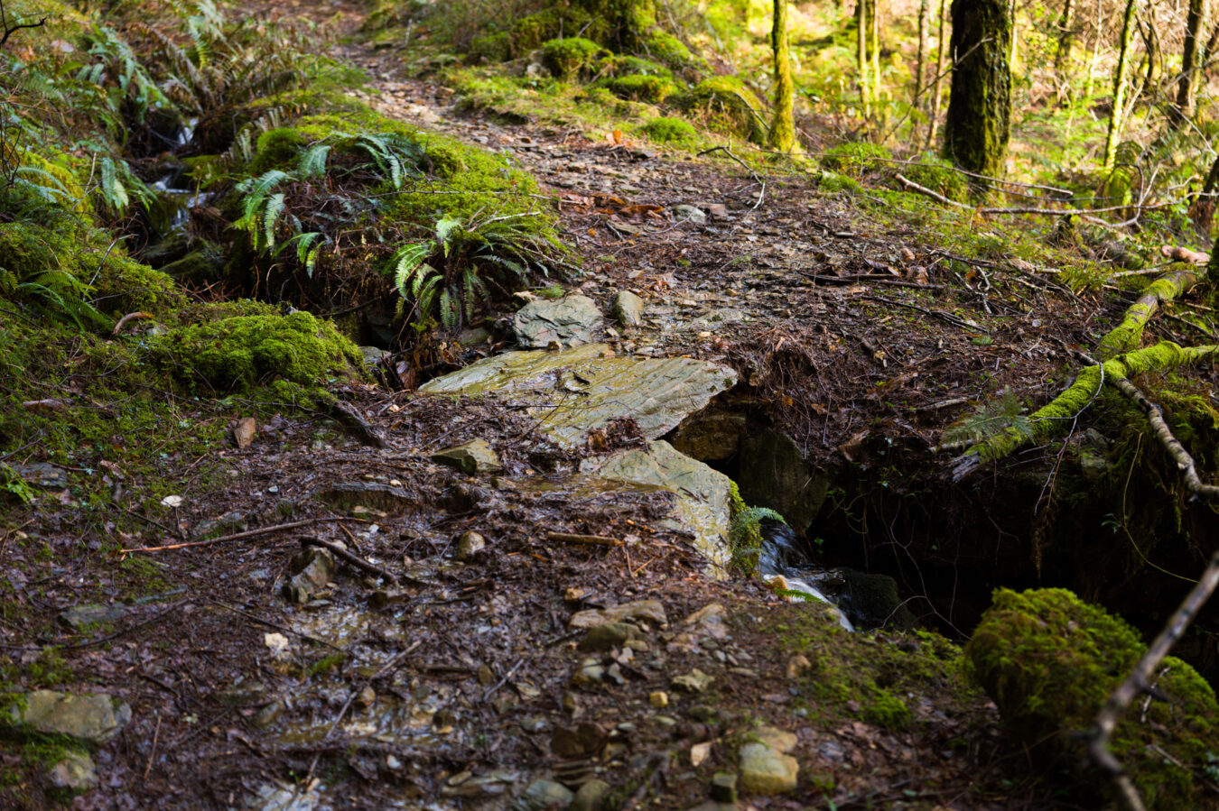
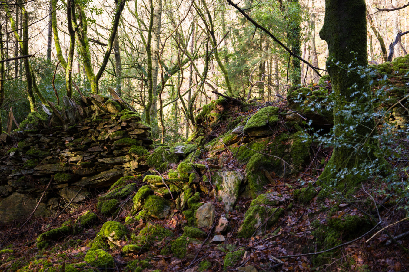
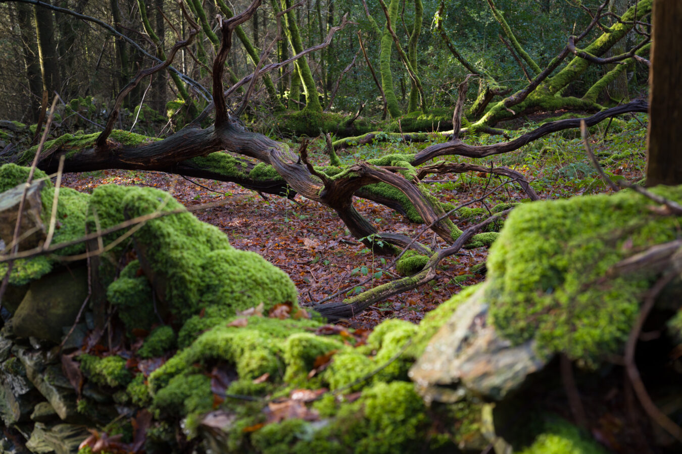
Just after the ruins, I found another damaged signpost, leaning against a tree, pointing in two directions. Ignore the path on the left and continue straight on.
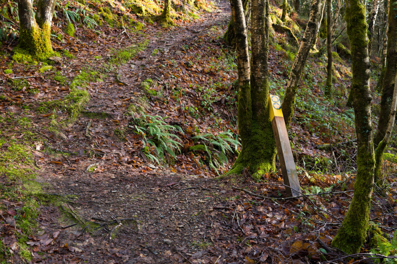
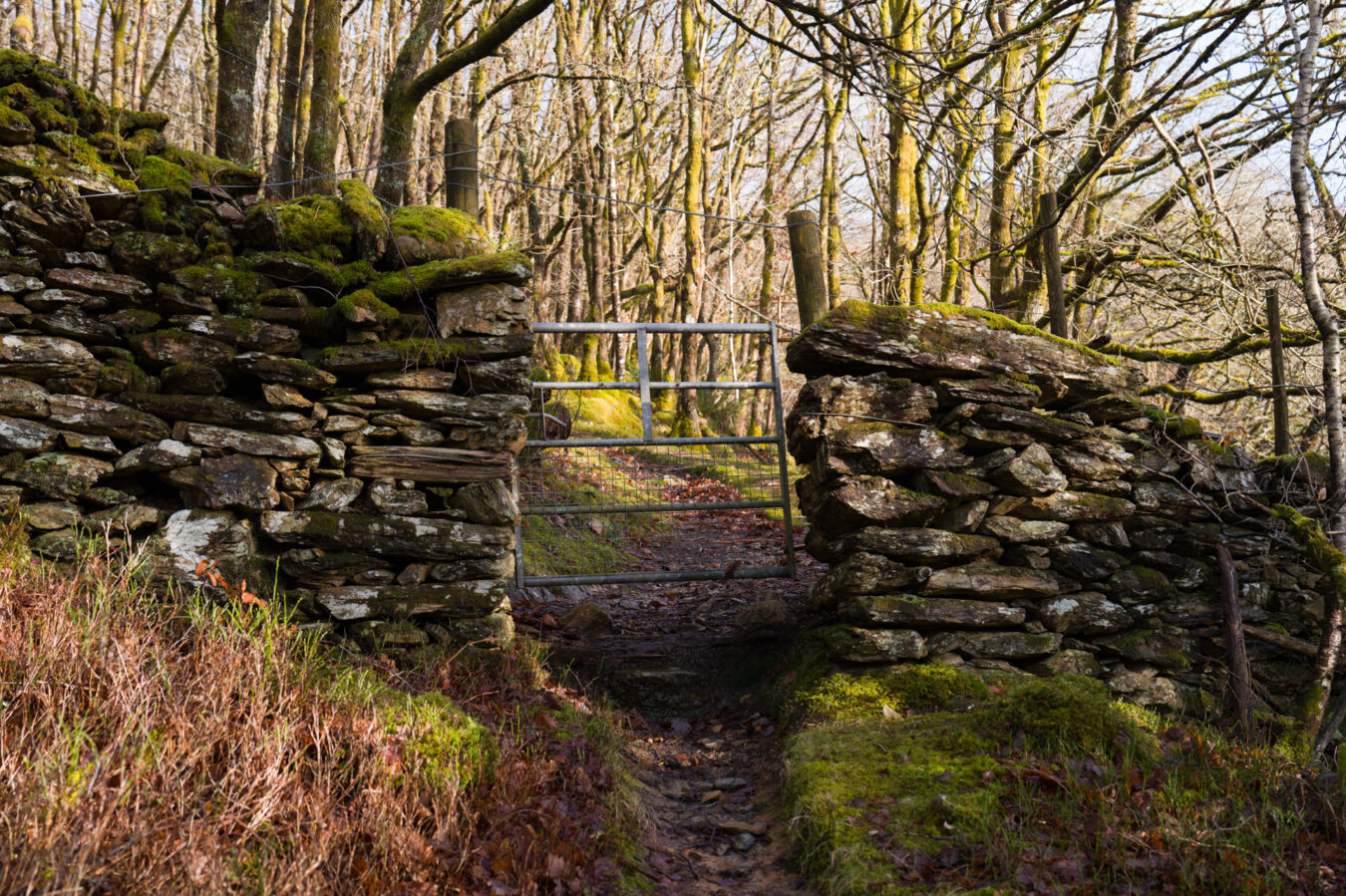
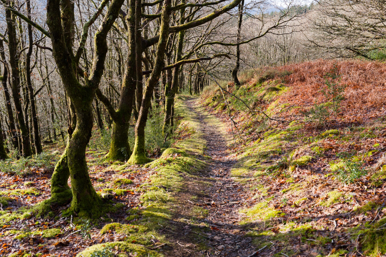
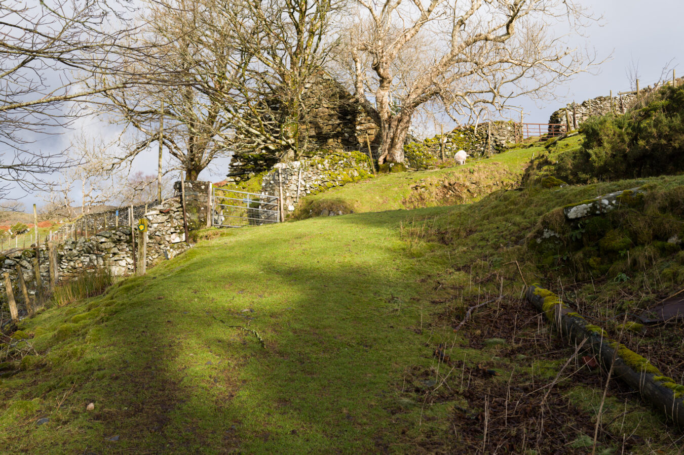
Soon after, you’ll reach a gate and continue uphill through another part of the woodland, which begins to open up as you approach the top of the hill. After a further 200 metres (218 yd), you’ll reach the Foel Ispri Uchaf farm. There, you’ll see an official sign marking the beginning of the New Precipice Walk. This is also the area where people with disabilities can park their cars.
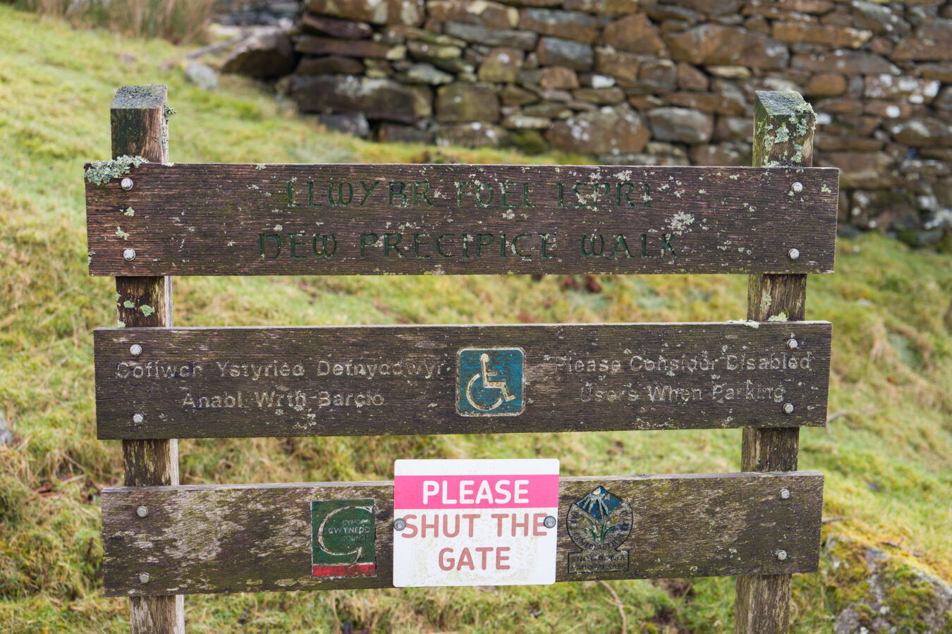
The New Precipice Walk
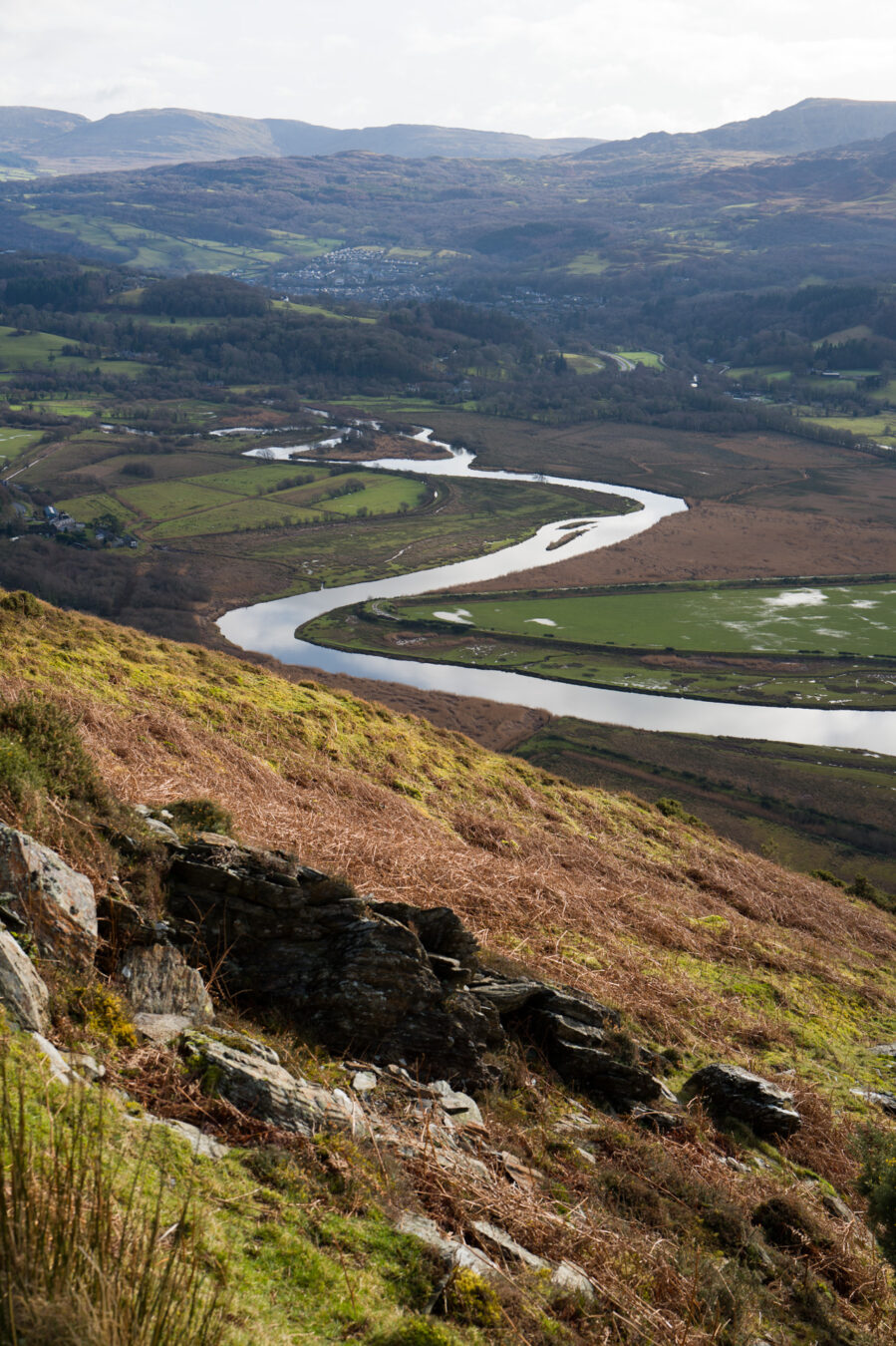
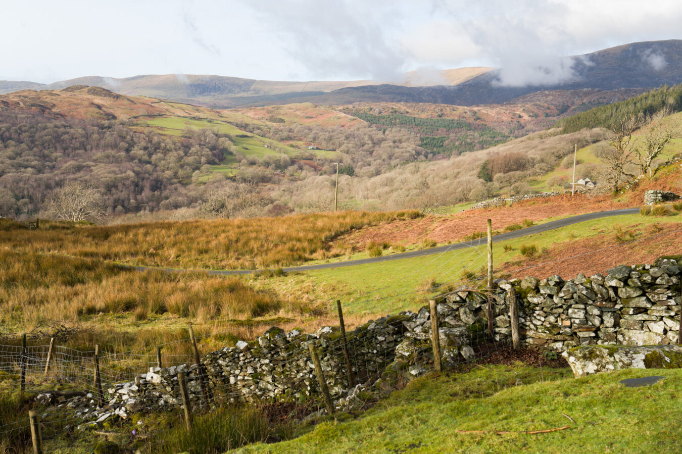
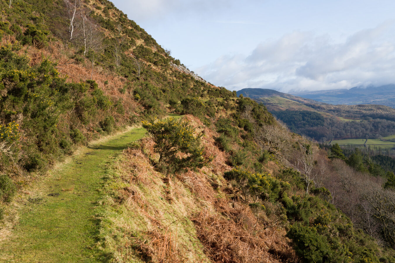
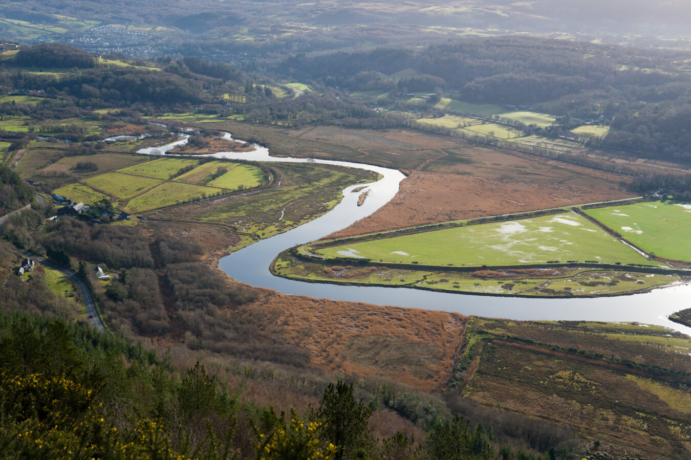
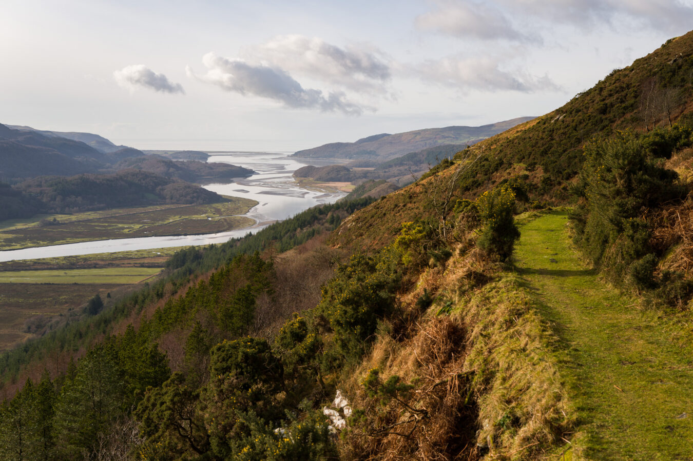
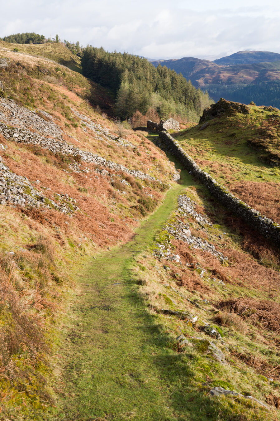
Follow the sign and go below the farm, passing through a series of gates, and the stunning view of the Mawddach Estuary will begin to reveal itself. You’ll recognise Cadair Idris on the other side, and you should be able to spot the Penmaenpool Bridge from where you started. Further along, you’ll also see Dolgellau in the distance.
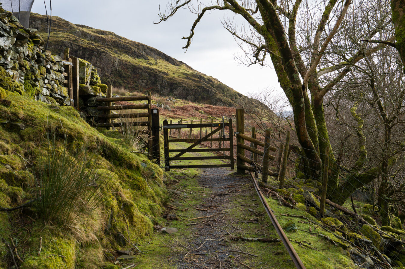

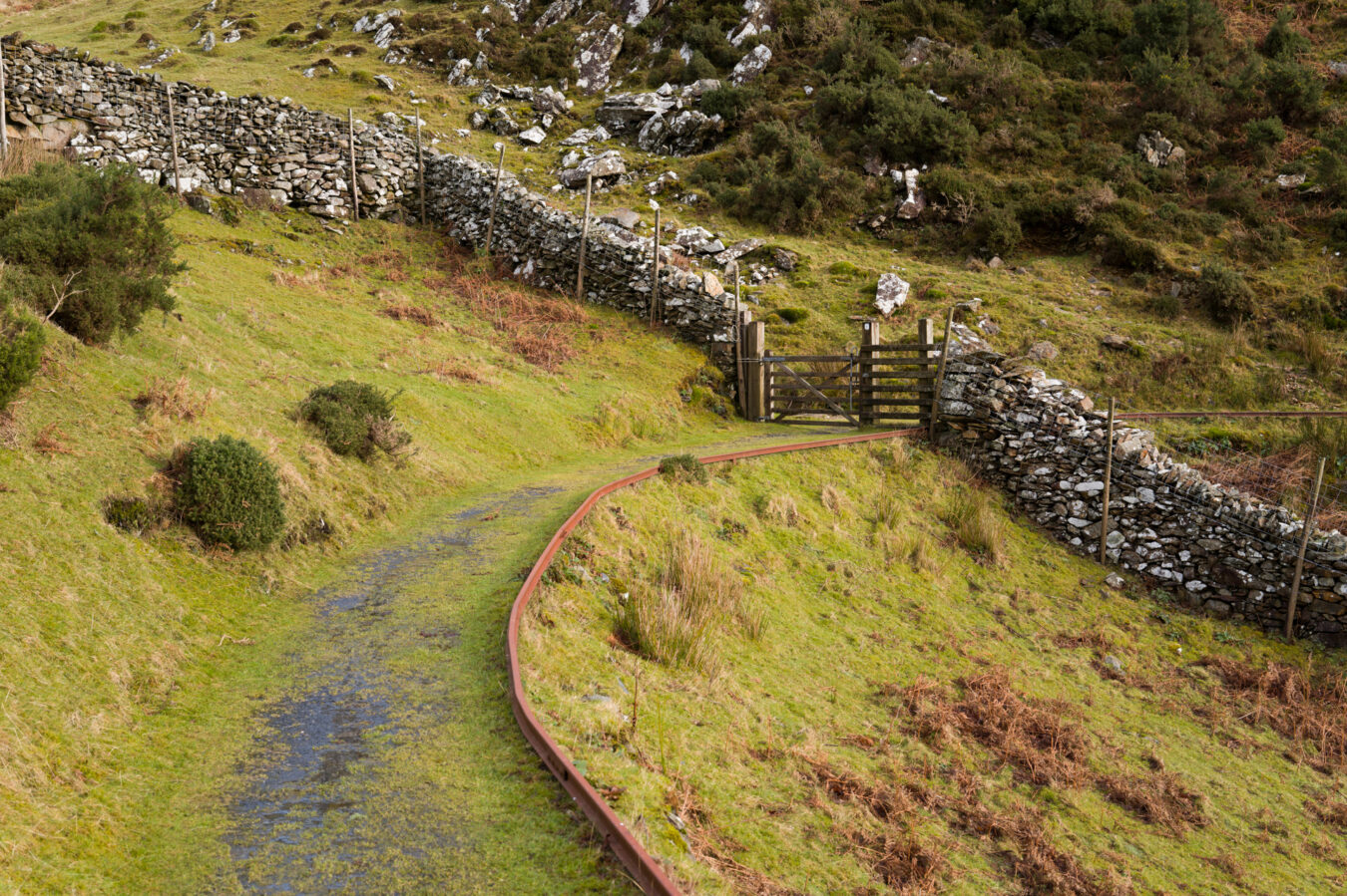
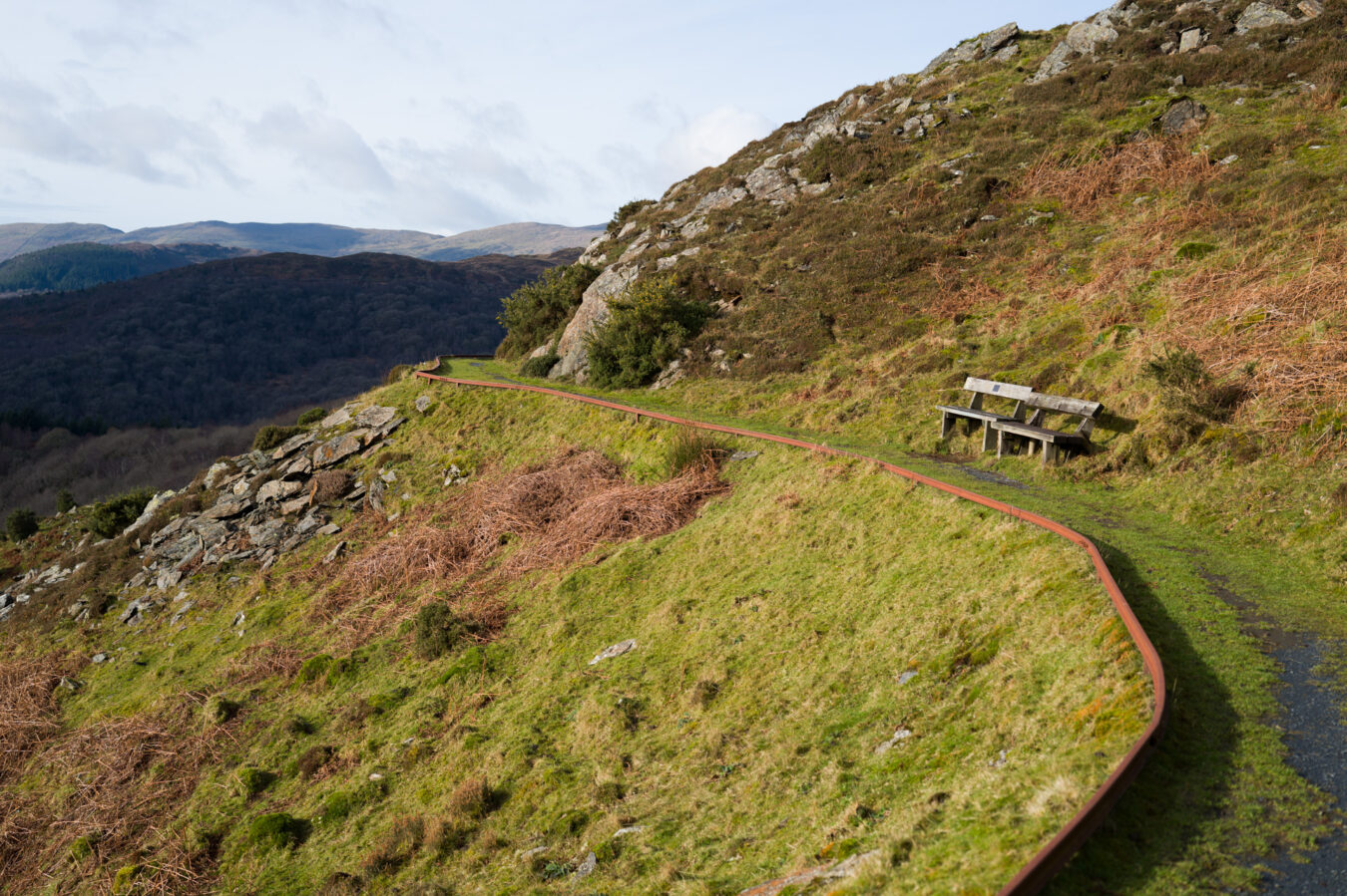
NEW PRECIPICE WALK
- The path follows the track of an old tramway, which was originally built to provide access to the long-abandoned workings of the Foel Goldmine.
- You’ll find a picnic table and a few benches along the way.
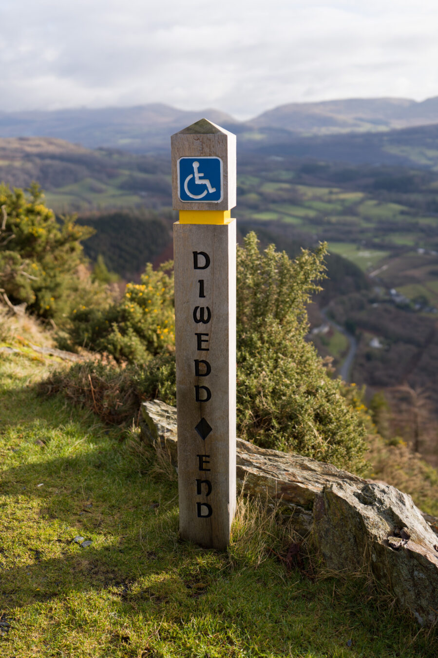
- This first part of the panoramic trail is accessible to wheelchair users, and the rail along the path prevents the wheelchair from tipping over.
- This accessible section is about 300 metres long (330 yd).
- Note that it’s not a paved trail, so after rain, there may be some mud and water hidden in the grass.

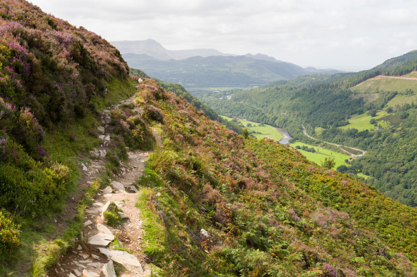
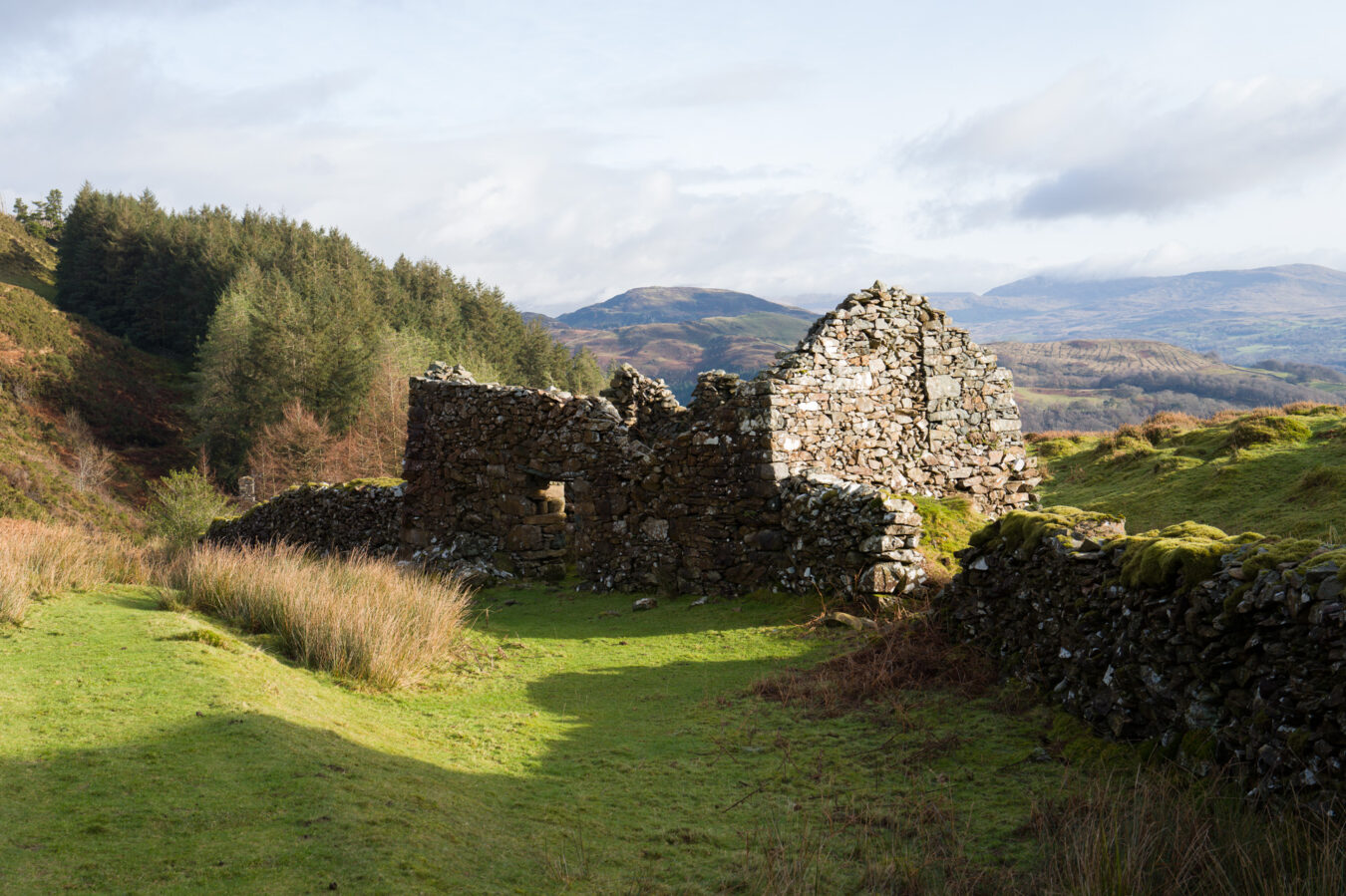
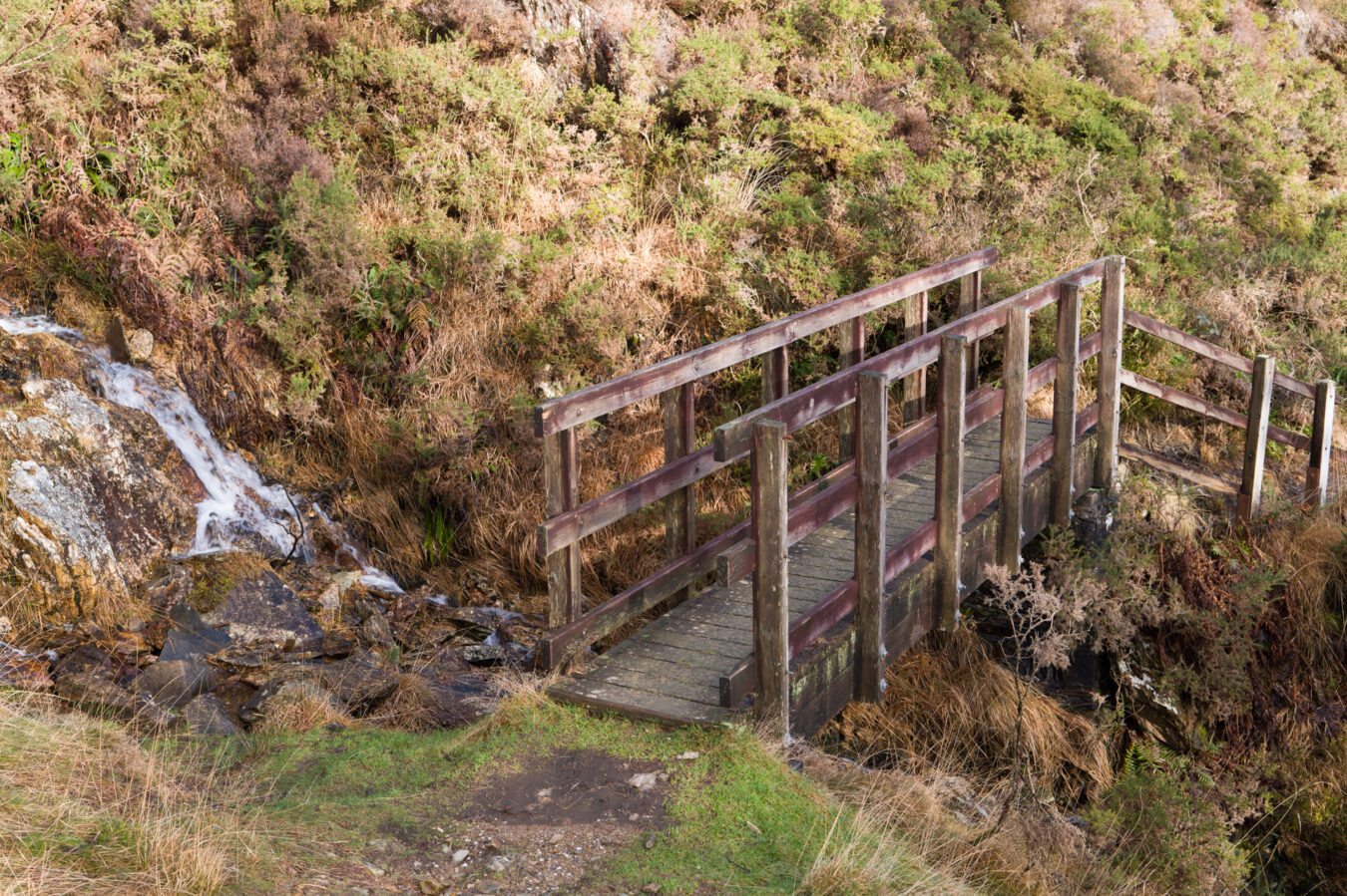
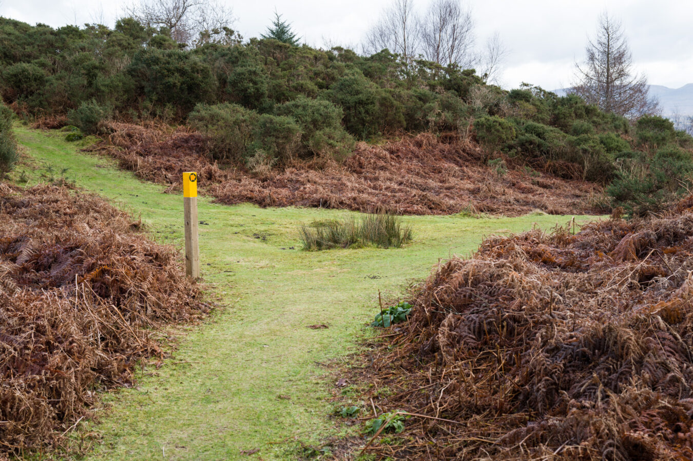
After passing the sign marking the end of the accessible trail, the path narrows slightly as it continues across the valley. About 340 metres (370 yd) further, you’ll pass a gate and then encounter a fork in the path. Take the right and begin walking downhill. You’ll pass a couple of ruins and a small bridge over a stream before reaching a stile on your right that leads you back into the woods.
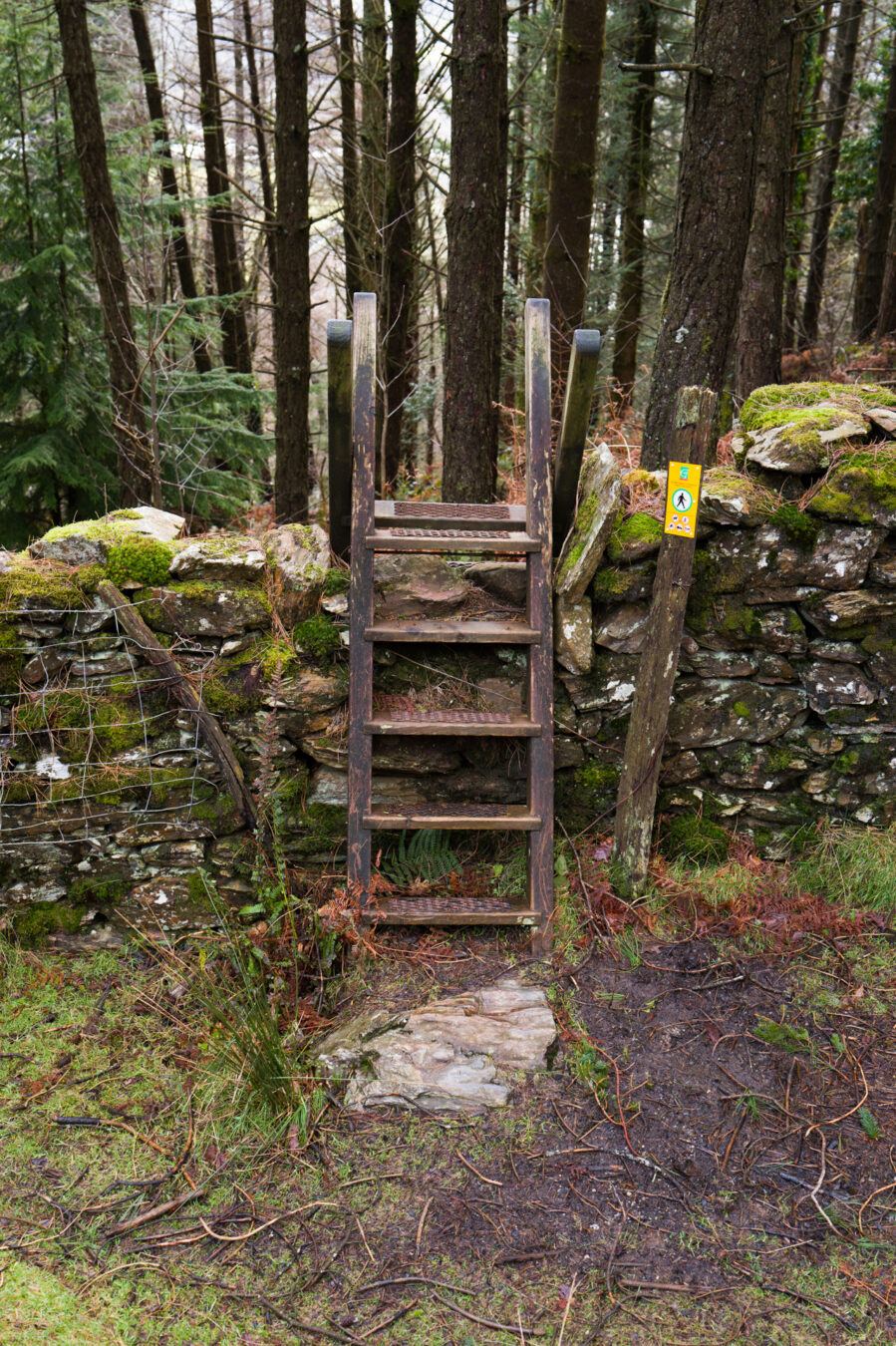
Back Into The Woods
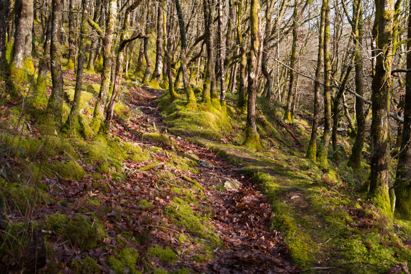
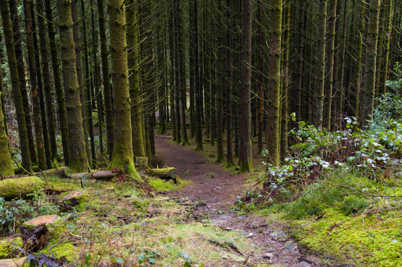
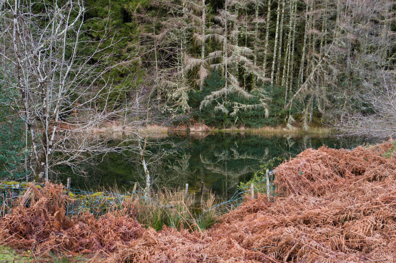
Keep descending on the narrow path until you reach an intersection. Continue straight, and the path will begin to descend as you’re surrounded by perfectly aligned trees covered in green moss. This is the spot that stole my heart – so peaceful, so beautiful.
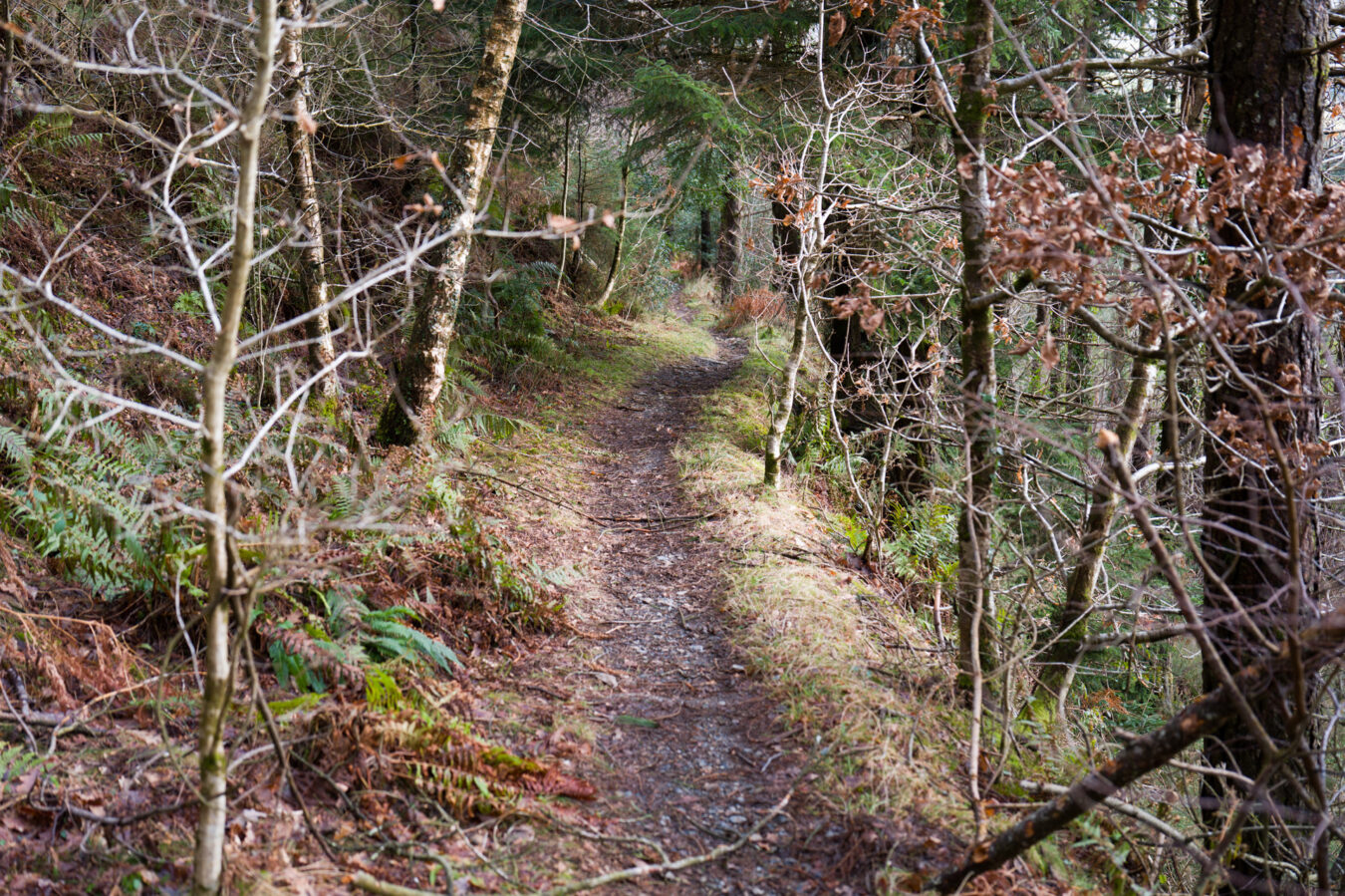
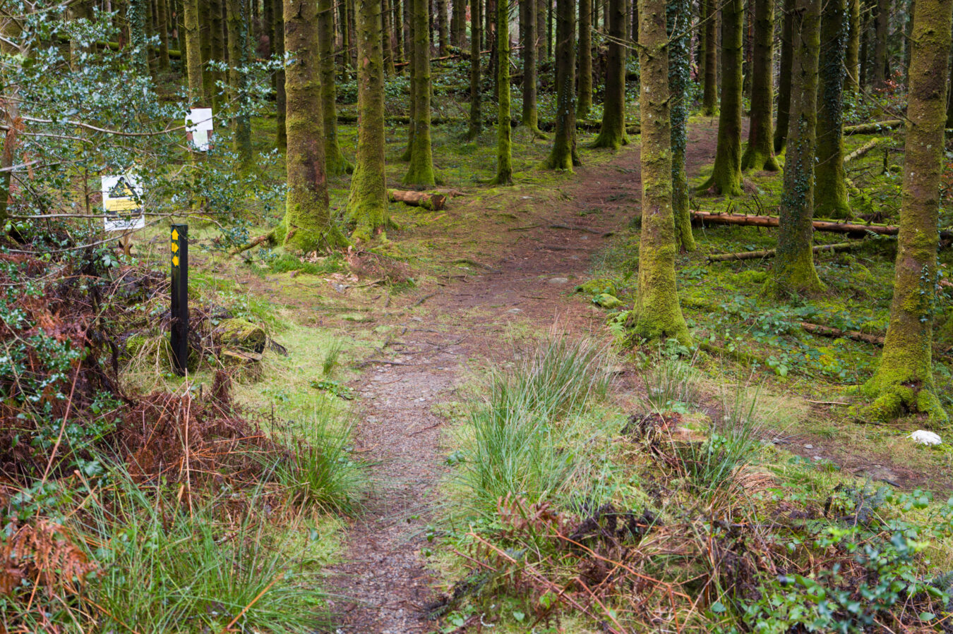


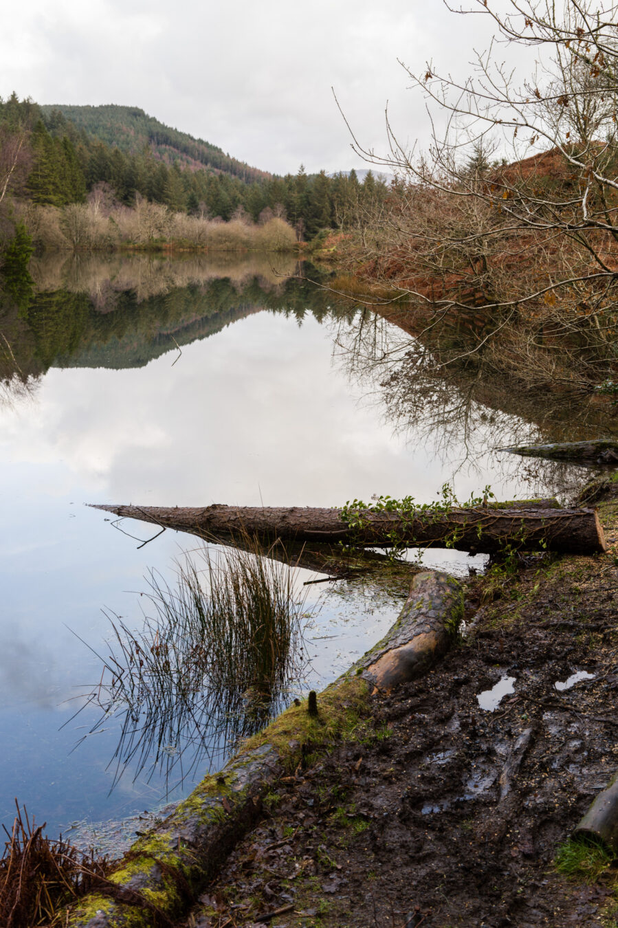
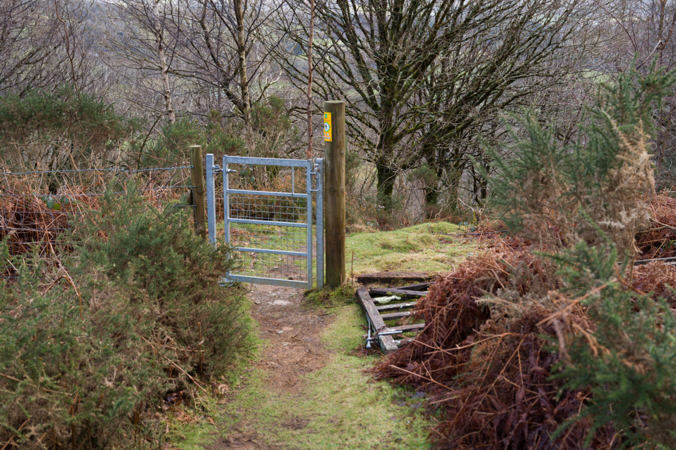
You’ll soon reach a lake, Llyn Tan-y-graig. Go around it on the right side to reach a gate. Take care, as this part of the walk is the muddiest you’ll encounter, and it can be quite slippery too. After passing the gate, you’ll find another path intersecting. Follow the arrow on the post and turn right. You’ll pass another gate, then descend a slippery slope before continuing to the right along a stone wall. After a further 400 metres (440 yd), you’ll reach another gate and arrive in the small village of Llanelltyd.
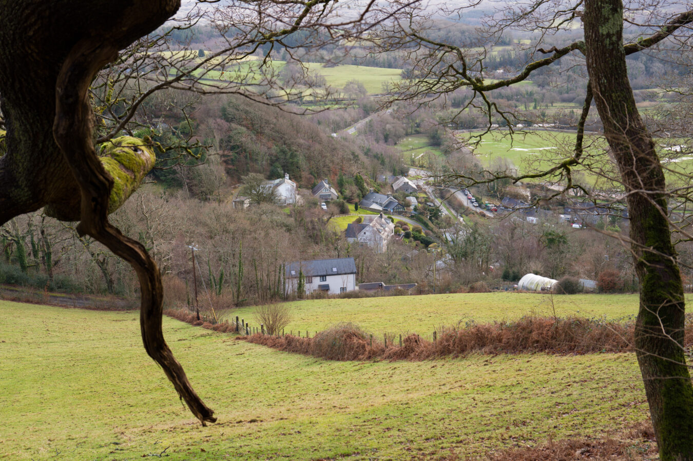
Llanelltyd And Dolgellau Bypass
From here, some other routes you may find online suggest going behind the bypass through an old bridge (Pont Llanelltyd) near Cymer Abbey before meeting the bypass further south. However, I didn’t find this section particularly interesting, and you will need to walk a stretch of narrow and winding B road where cars may not see you until the last second. So, unless you want to check the ruins of the Abbey, I suggest reaching the roundabout from Llanelltyd and go right, following the bypass, where there is at least a pavement for walkers and cyclists.
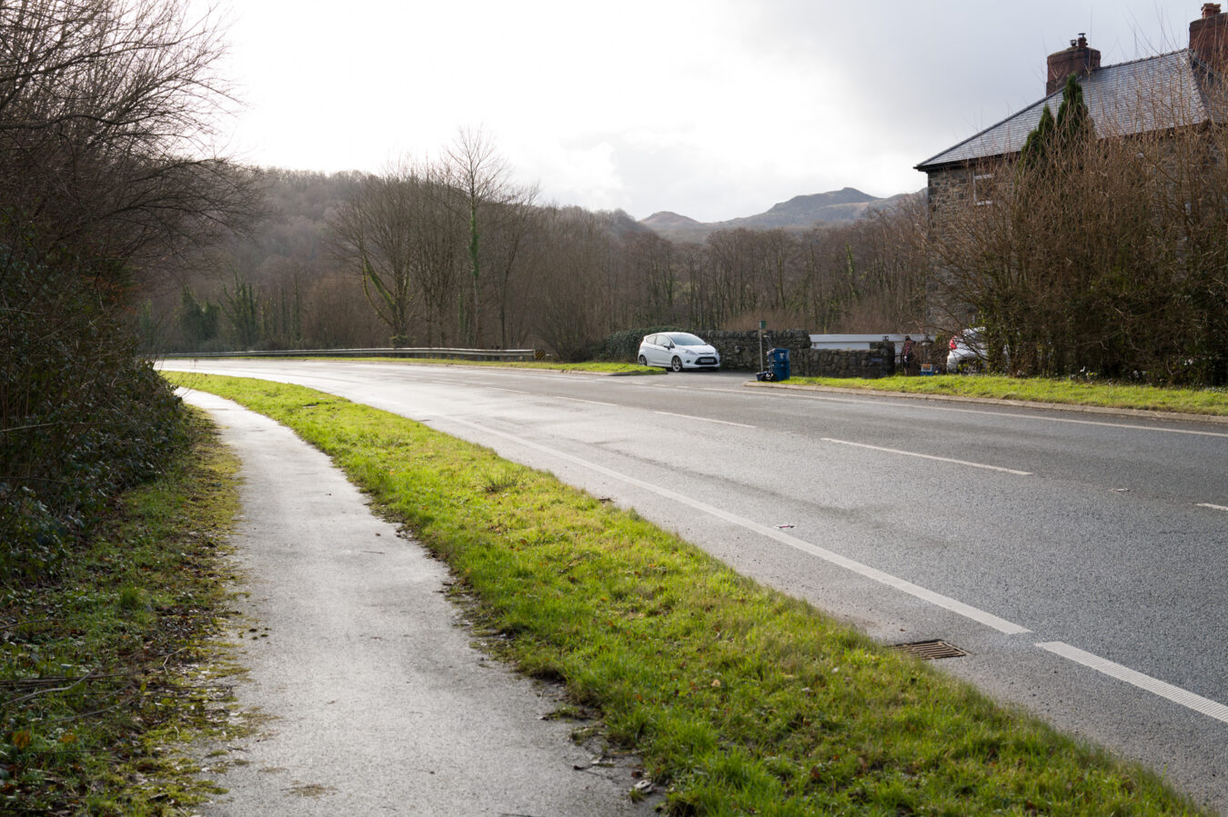
Almost 1 km in (0.6mi), you can cross the road towards a couple of houses on your right. Be extra careful, as it is a 50mph zone.
Walk down towards a farm gate directly in front of you, with a hidden stile on the left that leads to a small path along the River Wnion. It’s a bit muddy, and last time I went, there were lots of fallen trees, so it can be a bit tricky to navigate at times. However, at least you’re far from busy roads and traffic.
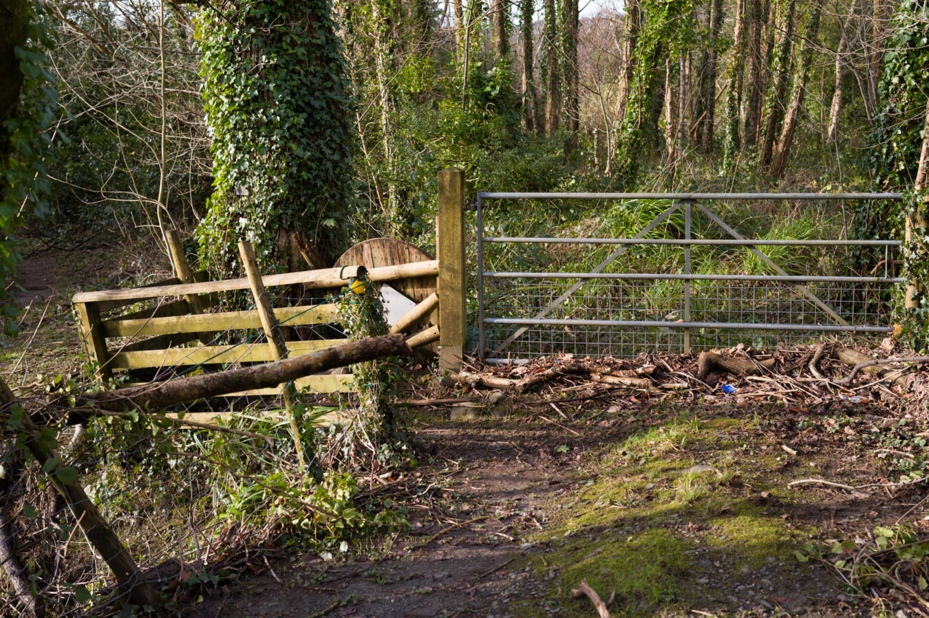
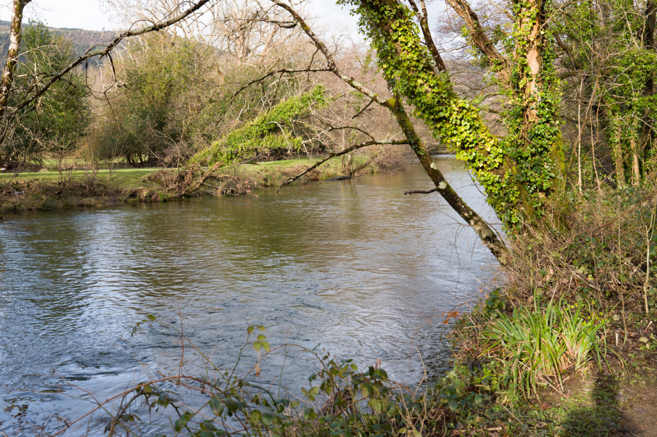
Not far along, you’ll meet the Mawddach Trail. Turn right, and you’re just 15 minutes away from Penmaenpool, where you started.
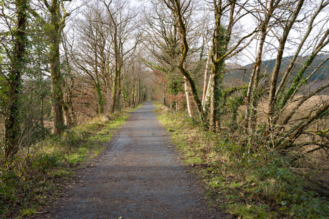
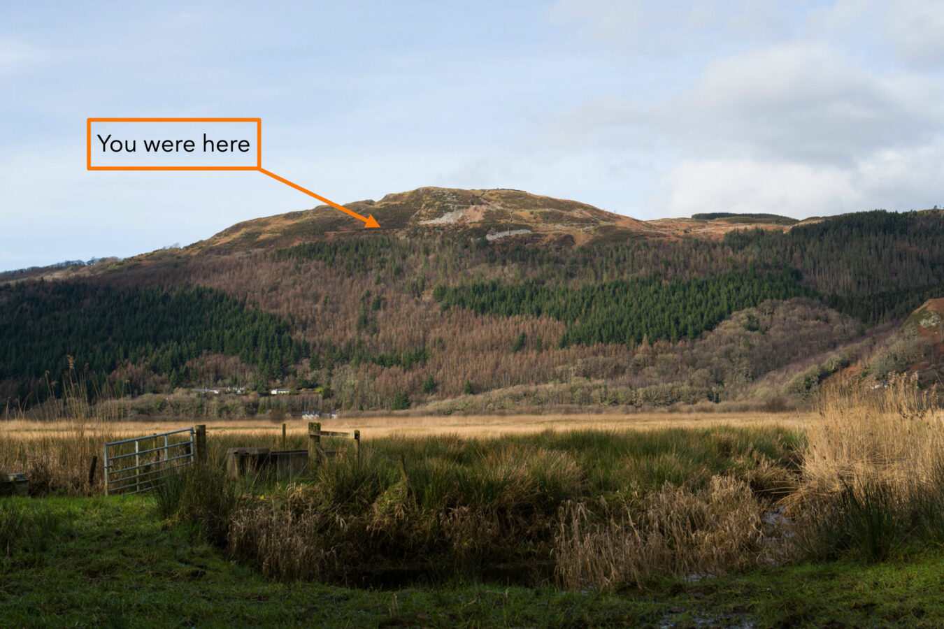
Enjoy the view of the hill on the other side and realise that you were up there not long ago!
ALTERNATIVE ROUTE
If you’re not keen on the river path, you can continue along the Dolgellau bypass and turn right at the next roundabout, following the sign towards Tywyn. Shortly after, turn right again and head down to a small car park, where you’ll find the start of the Mawddach Trail. From there, it’s a straightforward walk to Penmaenpool.
Back To Penmaenpool
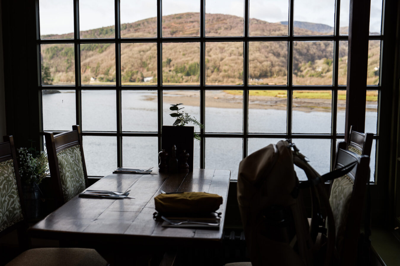
Back at the toll bridge, I suggest stopping at the George III restaurant for a drink, or even a meal. Their menu is really good, and if you sit next to a window, you can enjoy one last view of the estuary.
