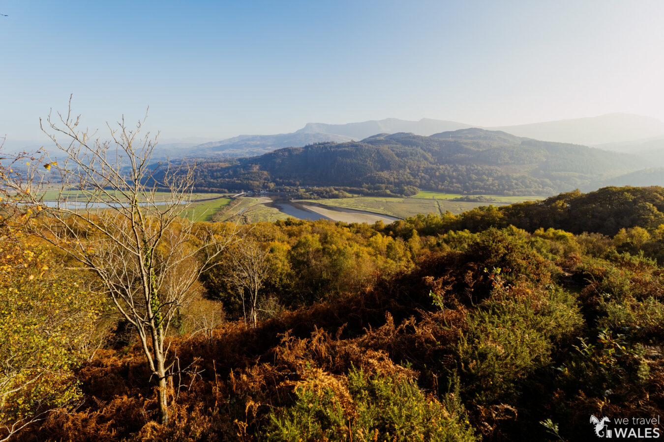
The Clogau Trail is another great walk in the River Mawddach area, not far from Dolgellau, in the southern part of Eryri National Park. It starts near the village of Bontddu and takes you along a steep gorge through beautiful woodland, before reaching an open area that was once an active site of gold mining. You then end the walk in a second woodland, with striking views of the river and valley, before descending.
As usual, this article gives you all the information you need, along with a step-by-step guide to the walk. Also make sure to check out my YouTube video below that offers a great preview of what the hike looks like.
IN A NUTSHELL
Clogau Trail
How long is it? The hike is about 4.5 miles and will take between two and a half and three hours, depending on your pace.
How easy is it? The first part along the River Mawddach may be flooded at high tide, so check the tide timetable for Barmouth before setting out. The last part, through the woodland, includes some narrow, rocky sections of trail.
Can I bring my children? A child aged eight or older should be able to manage, although of course you know your child best.
Accessibility: Not suitable for people with mobility issues.
Where can I park my car? There is a lay-by area near the village of Bontddu.
Can I get there by public transport? You can take the T3 bus (Wrexham–Barmouth) and get off at Bontddu. In that case, your walk would start directly from the village, and the section along the River Mawddach would be the final part rather than the first.
Are there any amenities nearby? There are picnic tables at the lay-by and public toilets in Bontddu. For everything else, the nearest town is Dolgellau.
Extra note: Part of the route follows a courtesy path, used by permission of the landowner. A sign indicates that the path will be closed on 5 February each year, in accordance with the Highways Act 1980.
Echoes of Gold on the Clogau Trail – Vlog 02

How To Get There
If you’re coming by car, the best option is to park at a lay-by near the village of Bontddu. It’s free and, although not very big, this is not a popular walk, so you shouldn’t have trouble finding a space. The main reason to park here is that it’s the point where the hike ends. Note that Bontddu itself is a small village, and there isn’t a dedicated car park for visitors, nor many places to park a car.
If you’re travelling by bus, you can hop on the T3 service on the Barmouth–Wrexham route and get off at Bontddu. By doing so, your walk would start from the village, heading up into the woodland. The section along the River Mawddach would then form the final part of your walk, taking you back to Bontddu to catch the bus home. Check the timetable on Traveline Cymru.
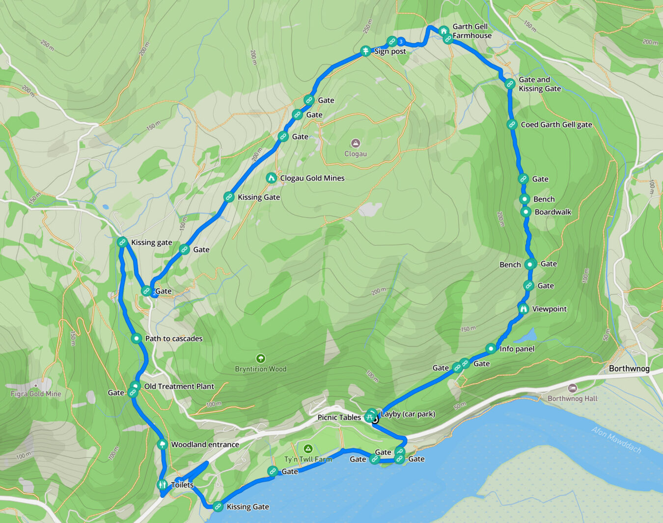
Clogau Trail Map and Route
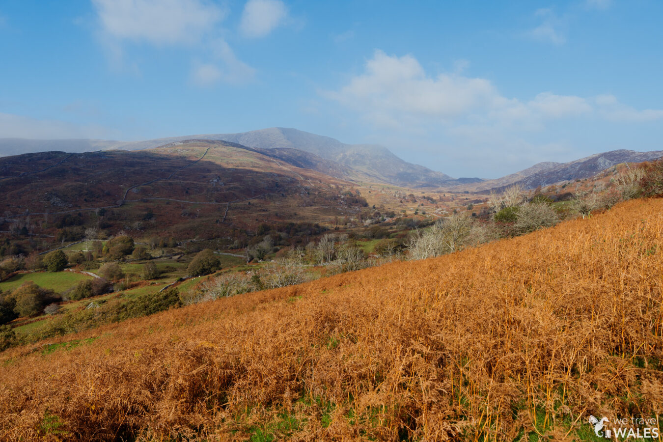
From the lay-by, cross the road and follow the path along the River Mawddach. You’ll then reach the village of Bontddu and begin walking up through woodland. After a short section on a tarmac road, you start the ascent to the gold mine site, where the landscape opens up beautifully, before descending through a farm and into the woodland of Coed Garth Gell, where stunning views of the Mawddach await.
Free PDF guide!
- If you subscribe to our newsletter, you’ll get access to our exclusive members’ area, where you can download a mobile-friendly PDF guide and a GPX file of this walk.
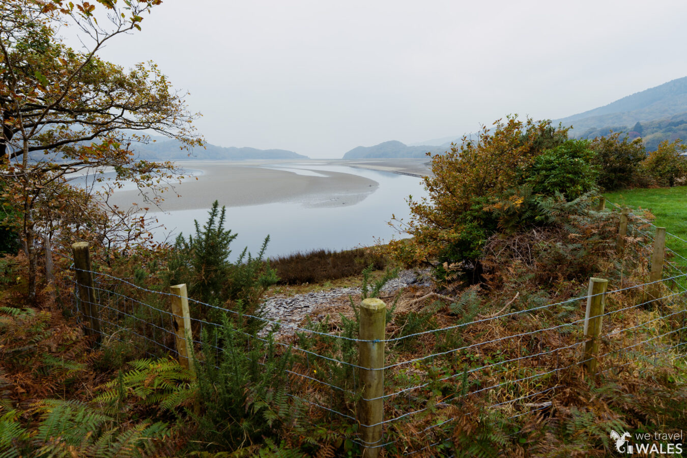
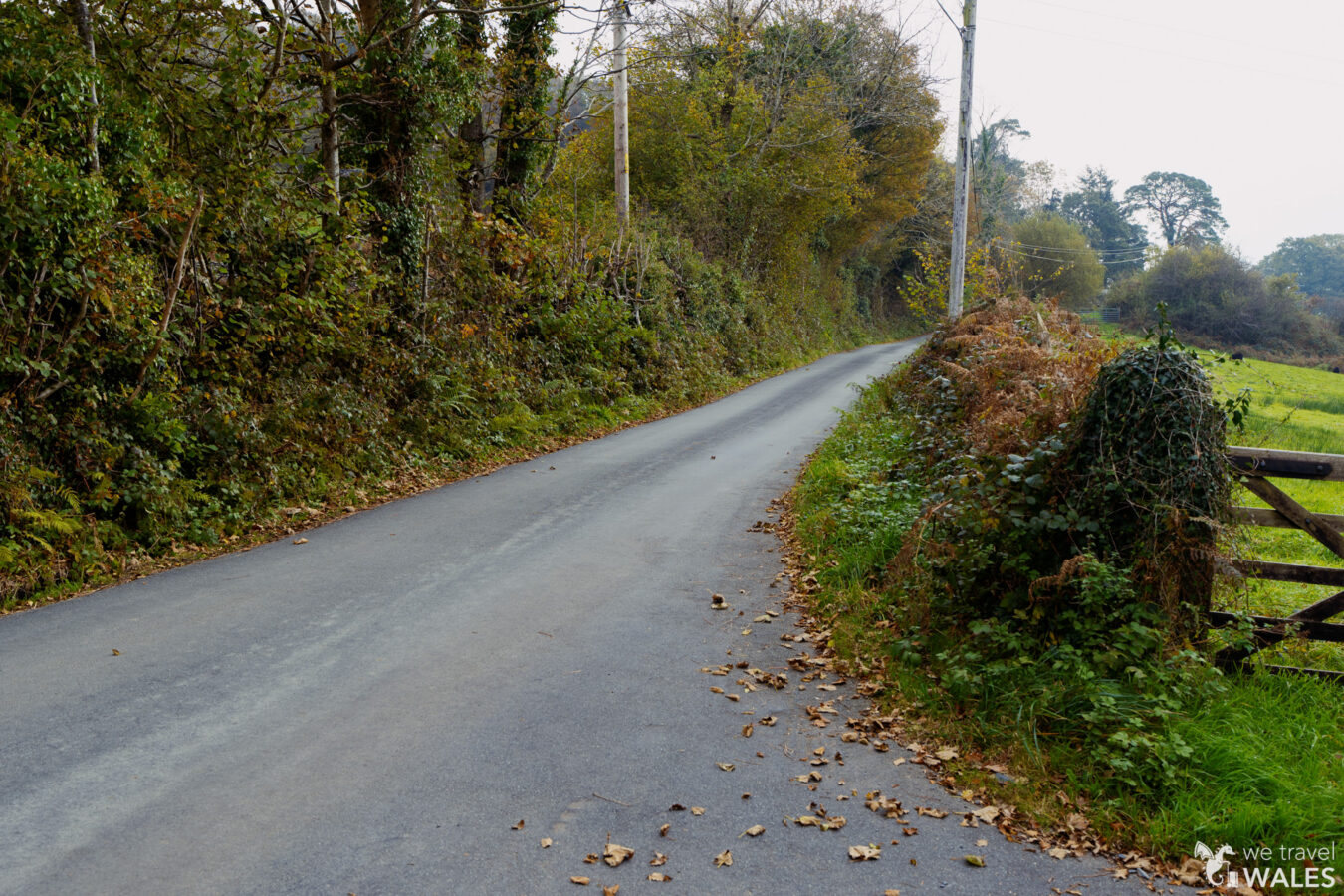
Along the River
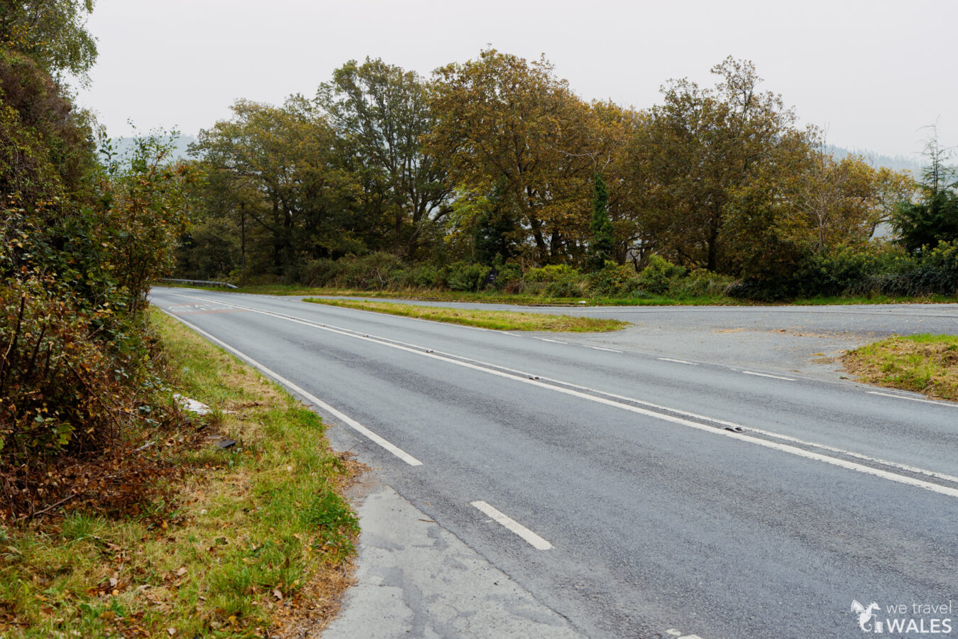
From the lay-by, take extra care when crossing the A496 road, then head left (as if you were driving towards Dolgellau). Walk on the grass verge along the road for about 190 yards (170 metres), and look for a footpath sign on your right.
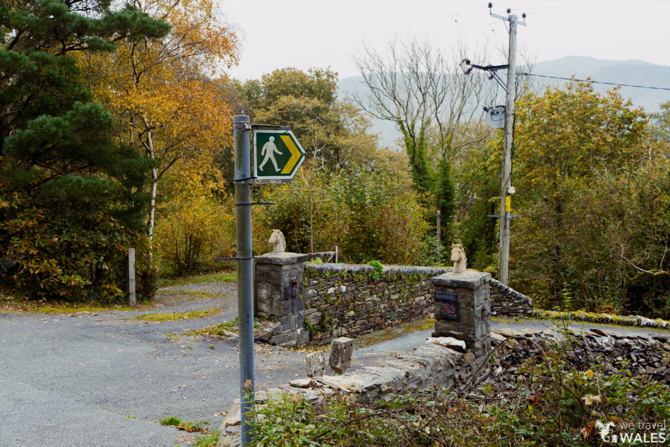
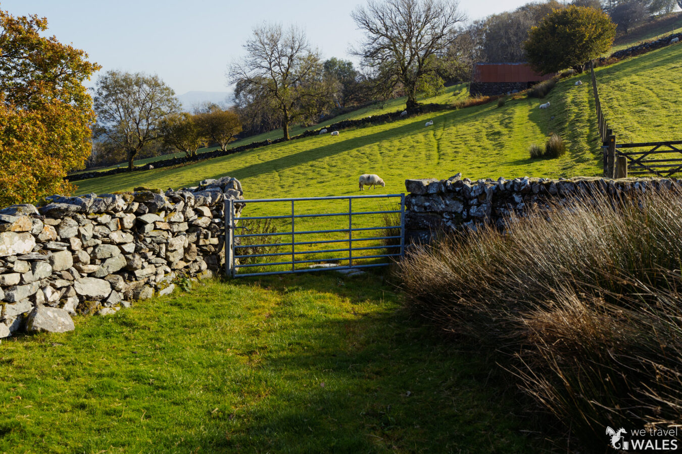
Turn right at the footpath sign and enter Rhuddalt Farm. As you approach the house, look for a gate on your left, leading onto a grassy path. A few metres further on, you’ll notice a pole with a sign on your left, leaning against some bushes. It indicates that you should go right, so just after the barn, turn right and go through another gate.
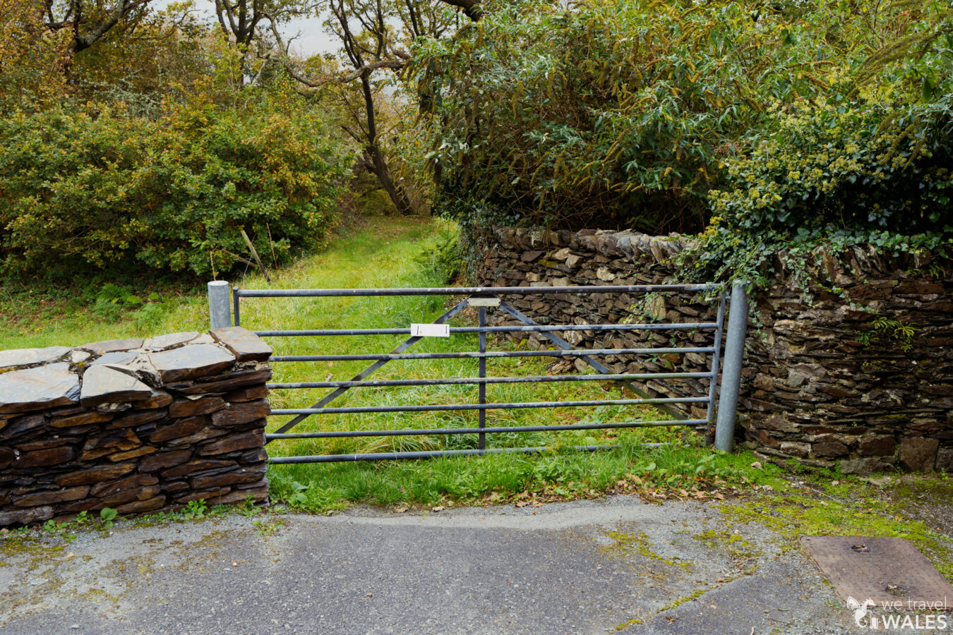
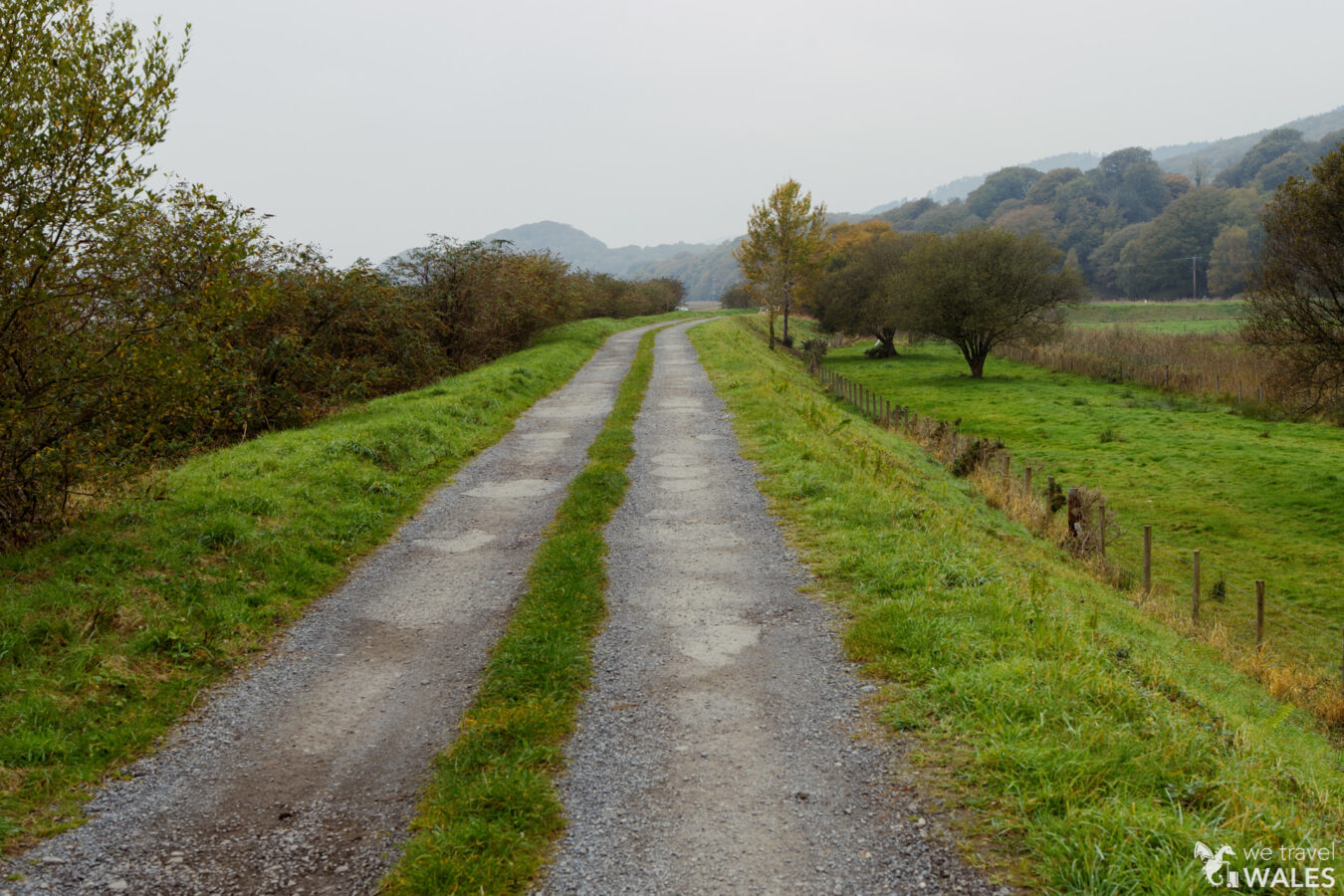
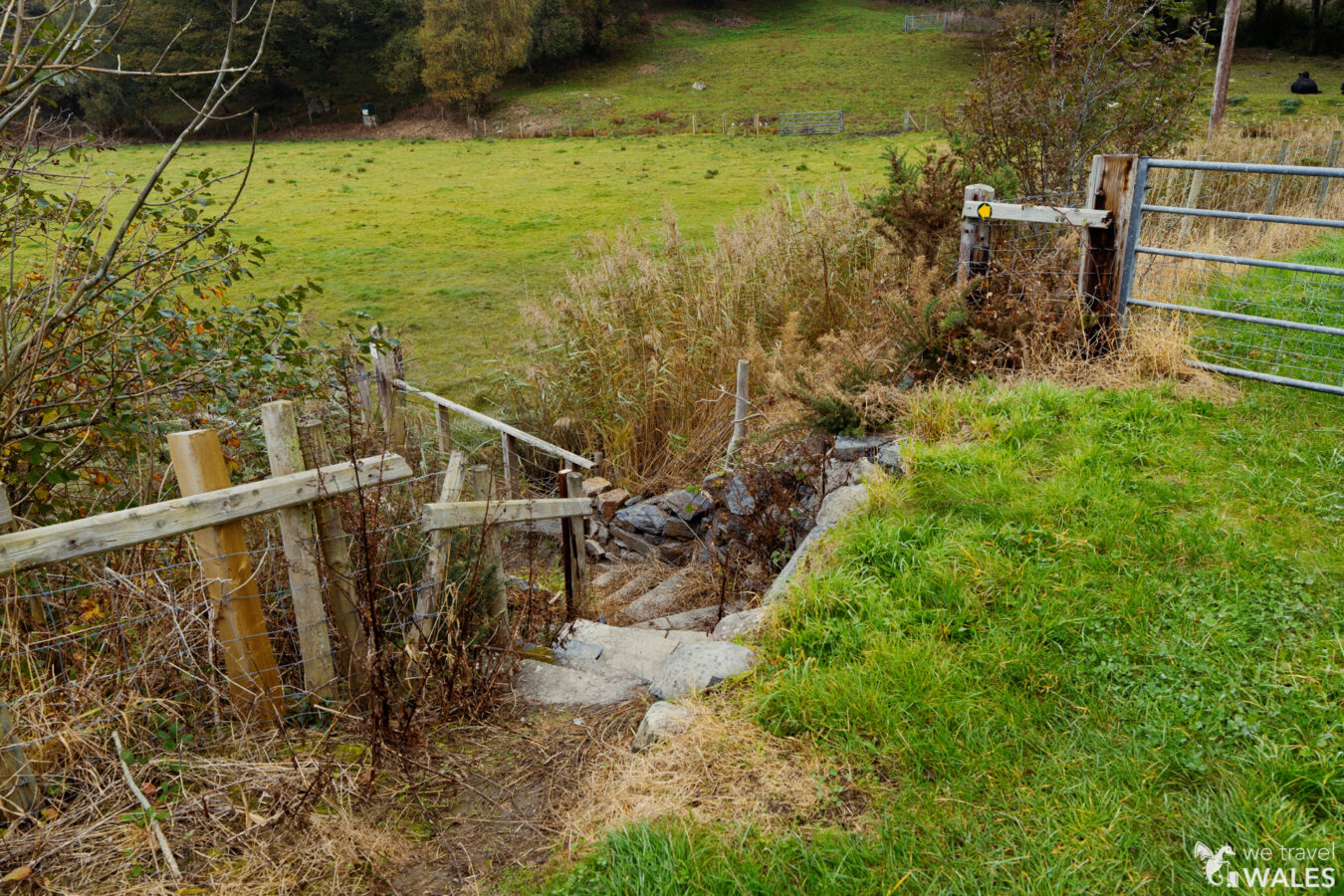
Follow the signs, keeping close to the fence on your left, until the path veers right and leads you to another gate and a farm track. Continue straight along the track for about 435 yards (400 metres). At the end, take the nearby steps down to a small bridge, then go through the gate.
high tide
Please note that this lower section can be subject to flooding at high tide, depending on the weather. Check the tide timetable for Barmouth before beginning the walk to make sure you’re not cut off.
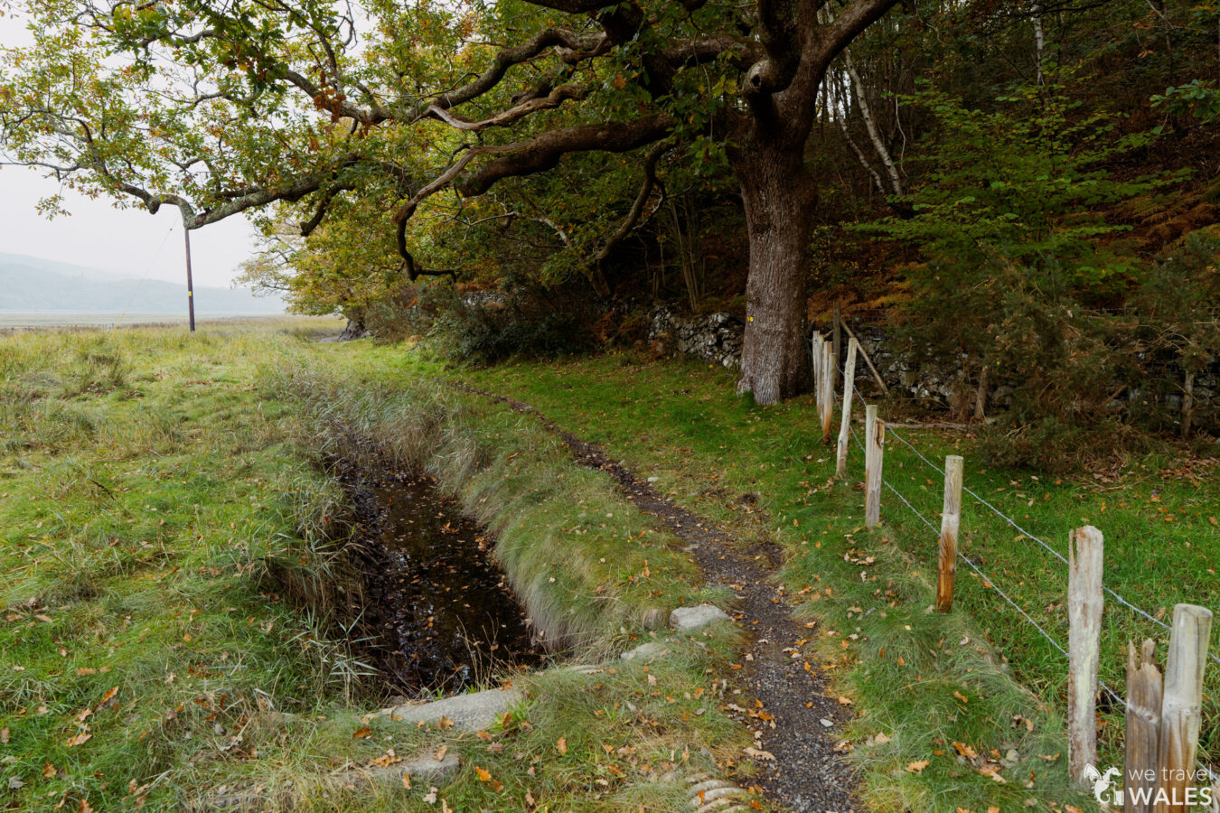
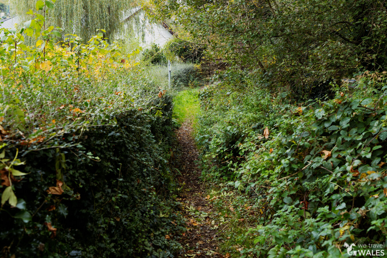
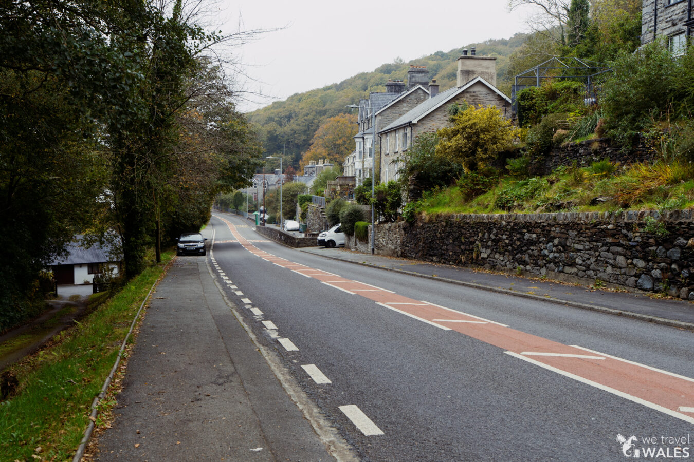
Follow the path along the river, but be aware there can be extremely muddy patches along the way. You’re looking for a kissing gate on your right, which will take you towards the village of Bontddu. Go through the gate, pass a small building on your right, and follow the track. Shortly after, take the narrow path on the left, beside a large gate that is closed and not accessible. The narrow path leads you onto a tarmac road, which takes you up to the A496 in Bontddu.
Bontddu and Woodland
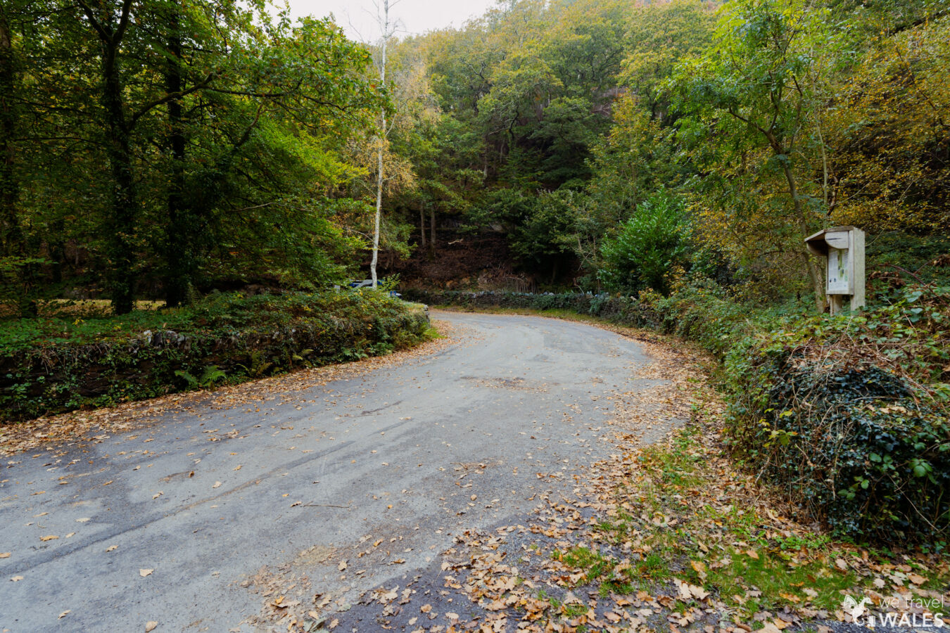
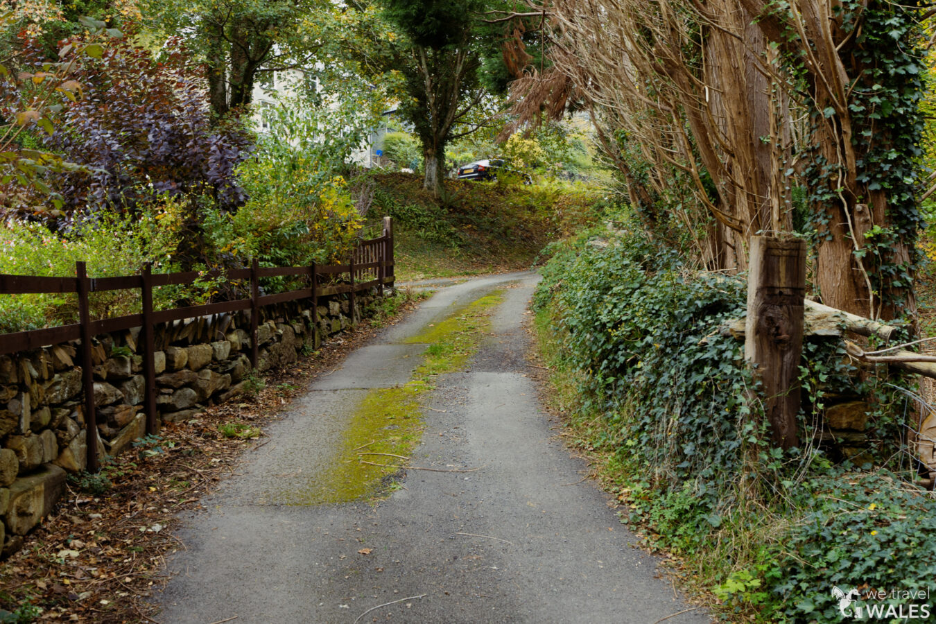
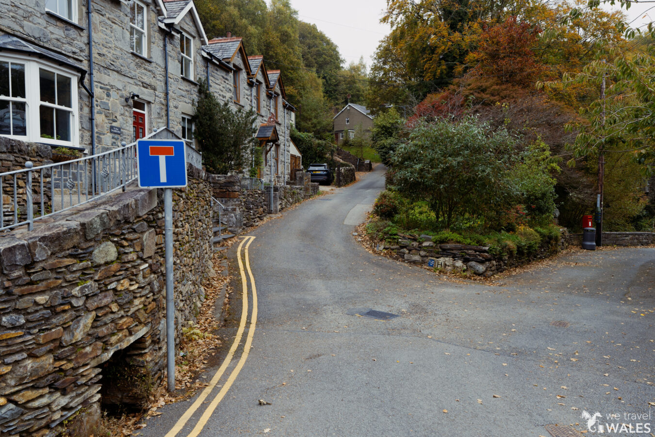
Take care when crossing the A496, then turn left, walking along the pavement for about 246 yd (225 m). After passing a bus stop and some metal railings, turn right onto the steep dead-end road. You’ll pass the public toilets on your right — the only ones you’ll see along this walk. After the row of houses, the road ends and the woodland path begins.
Note: If you come by bus, your walk starts here along the A496 in Bontddu, where the bus stops.
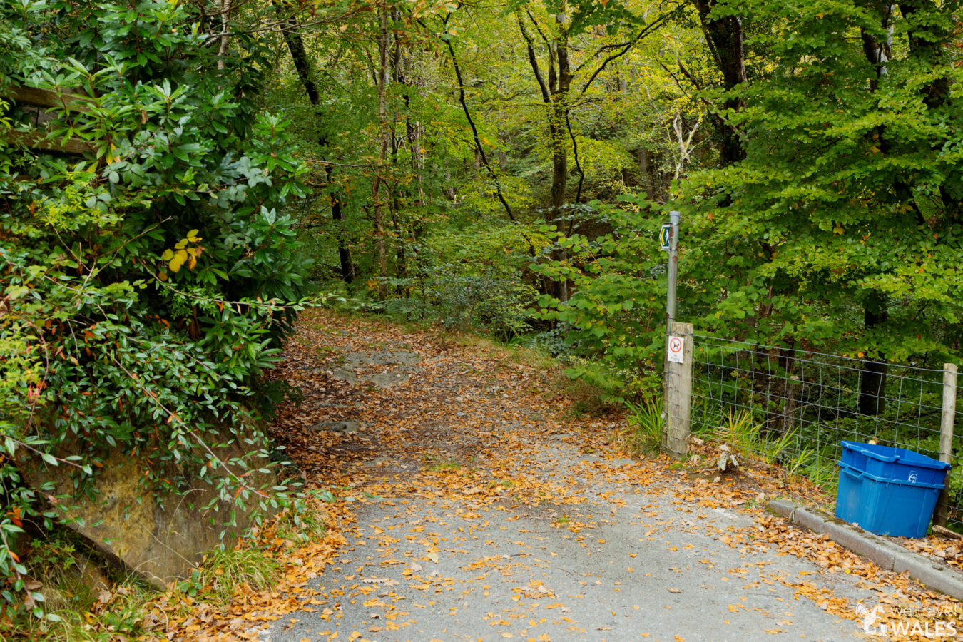
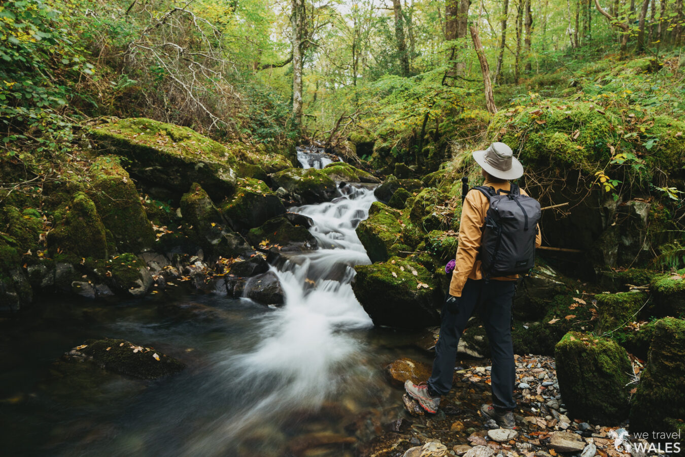
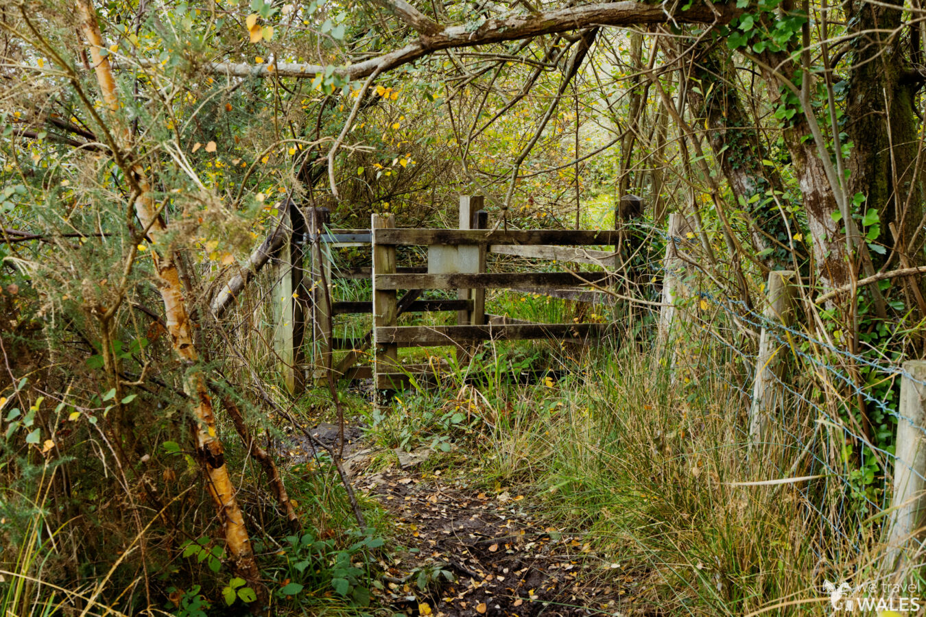
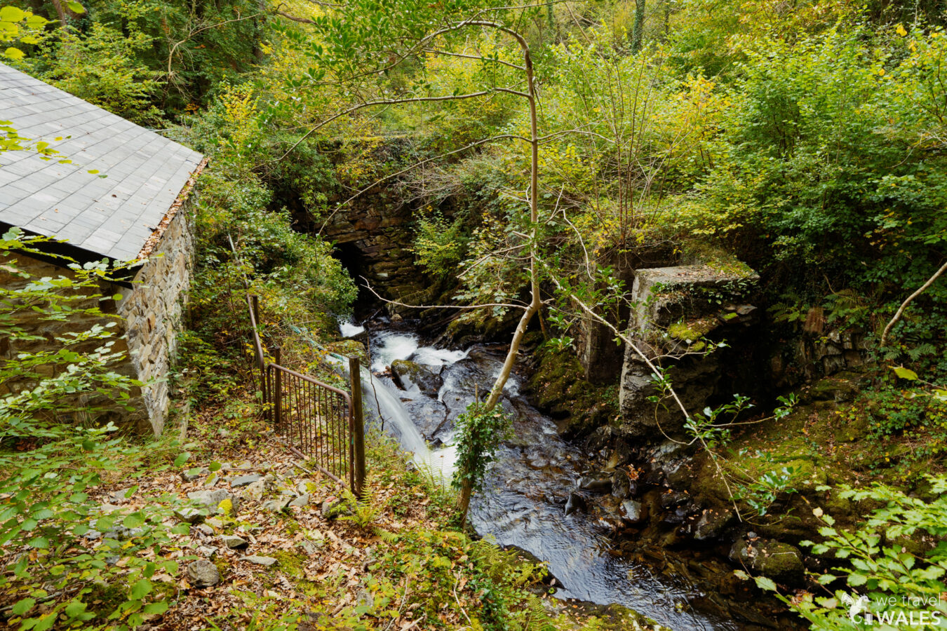
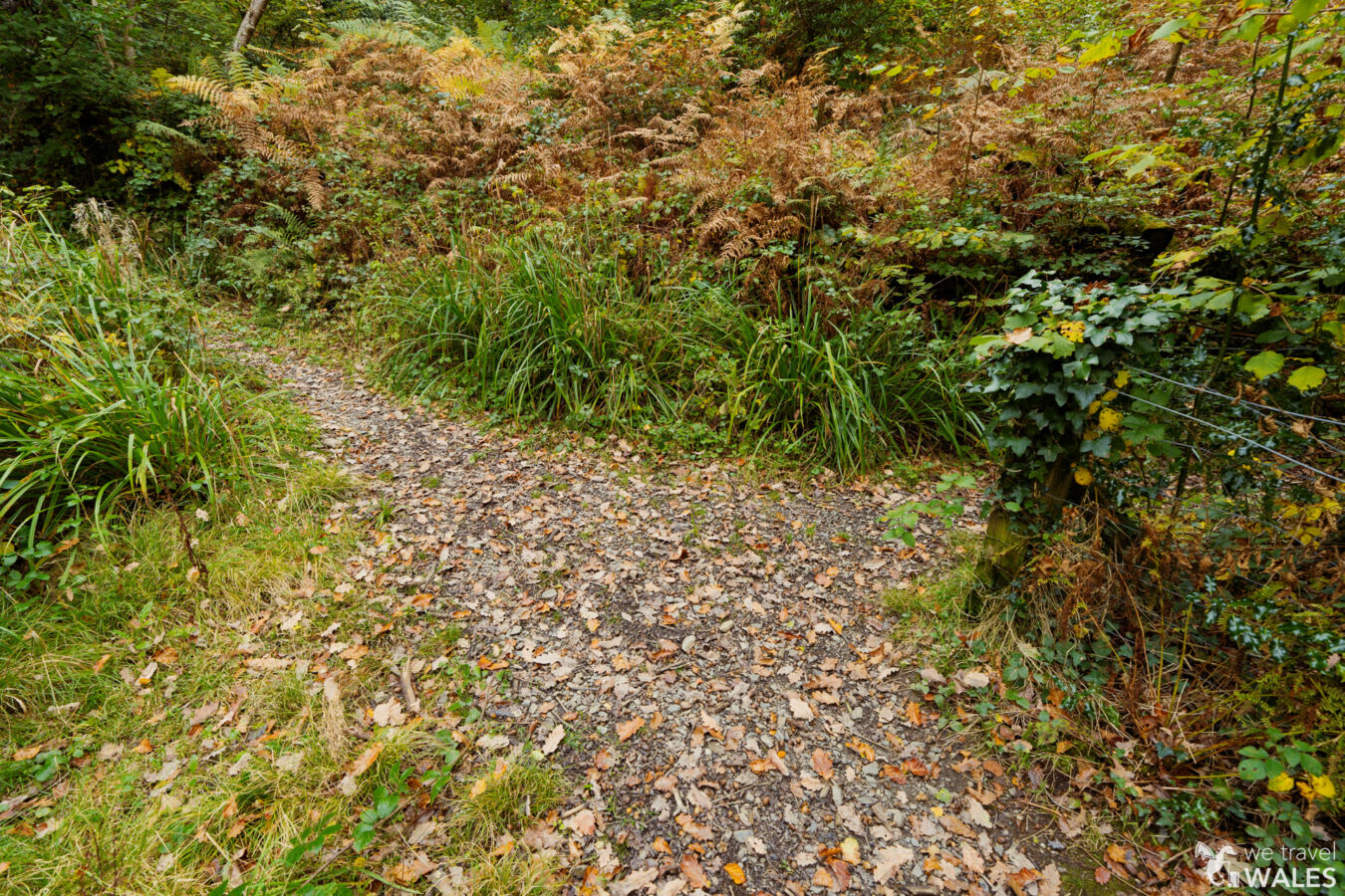
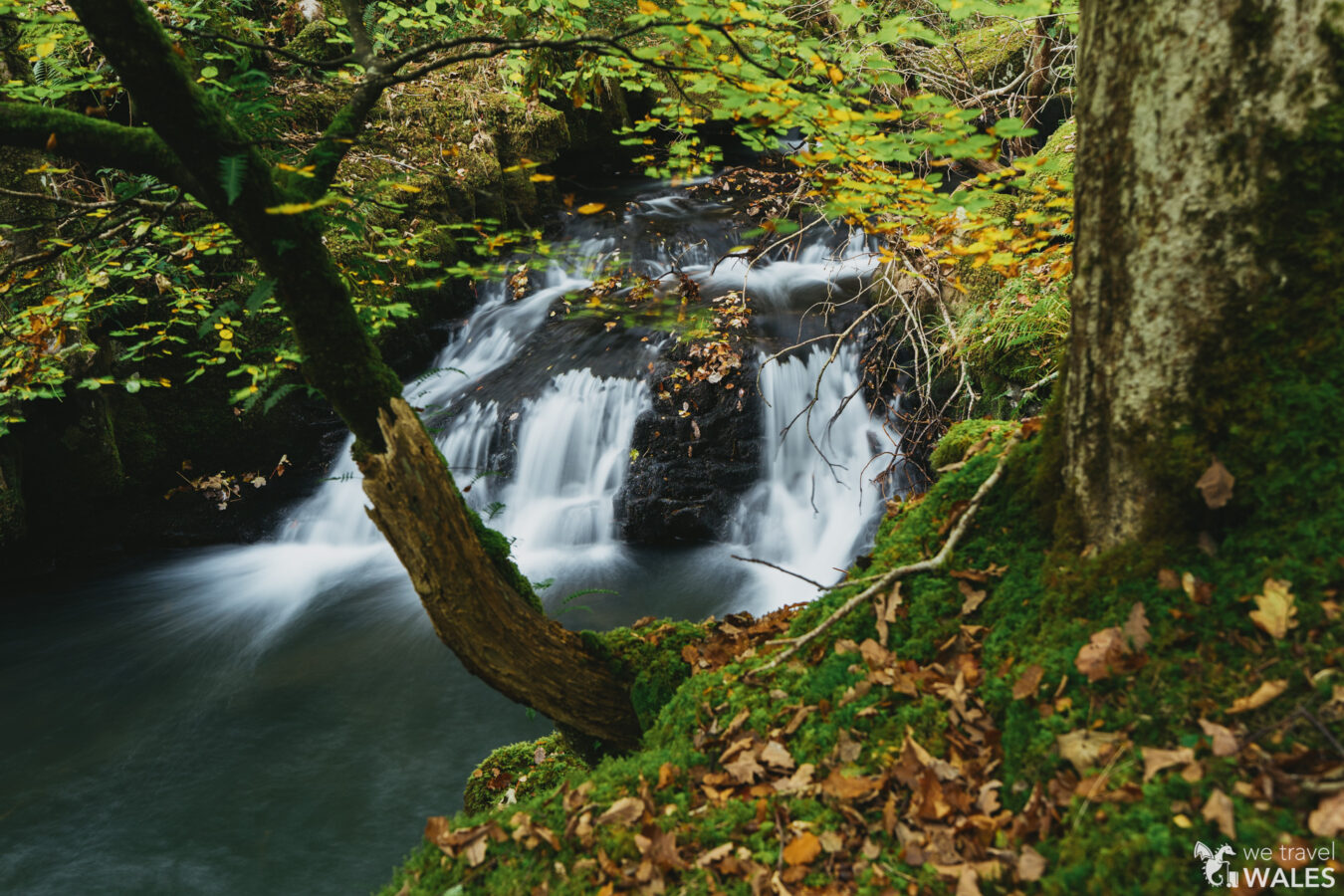
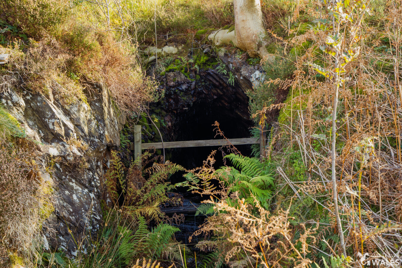
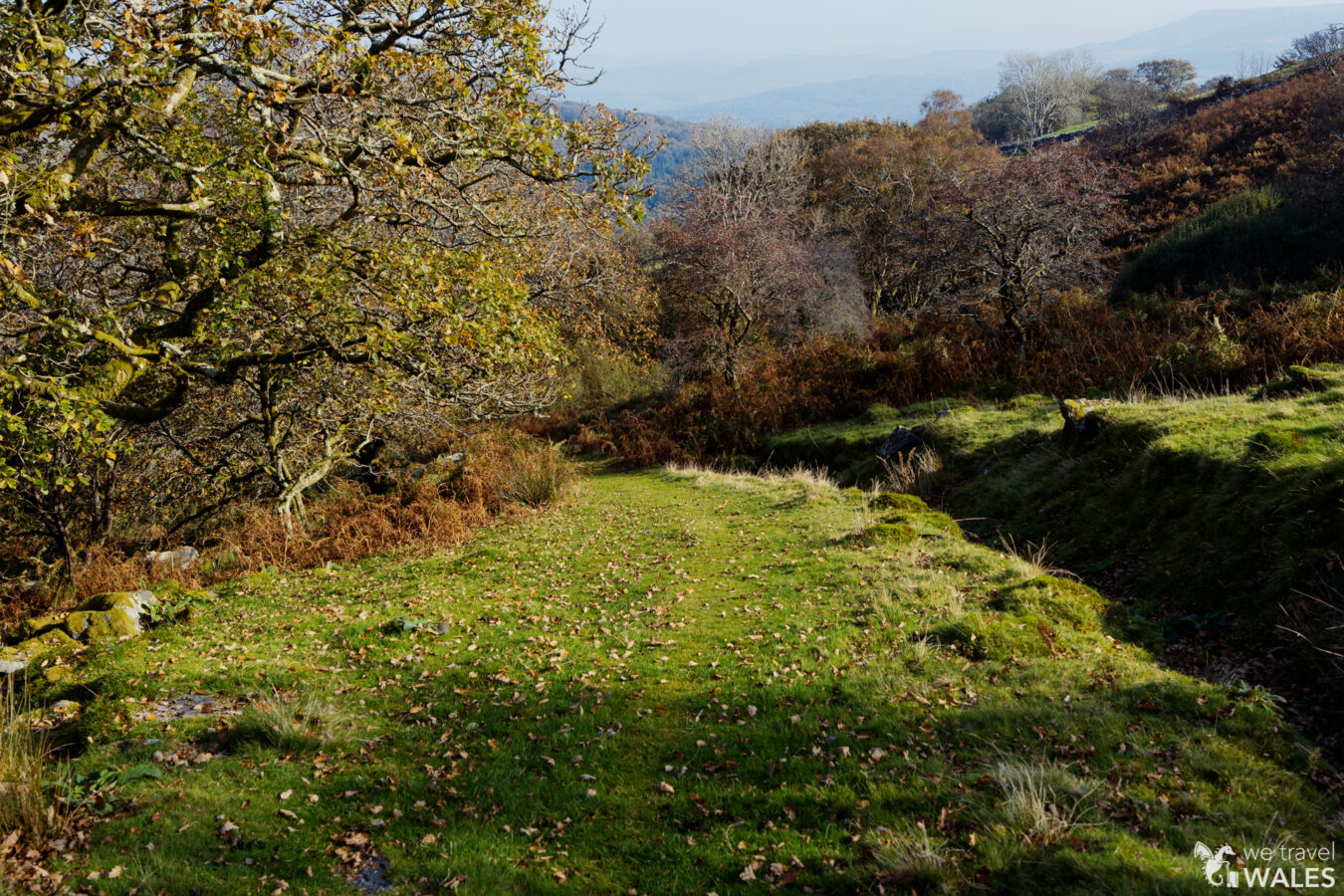
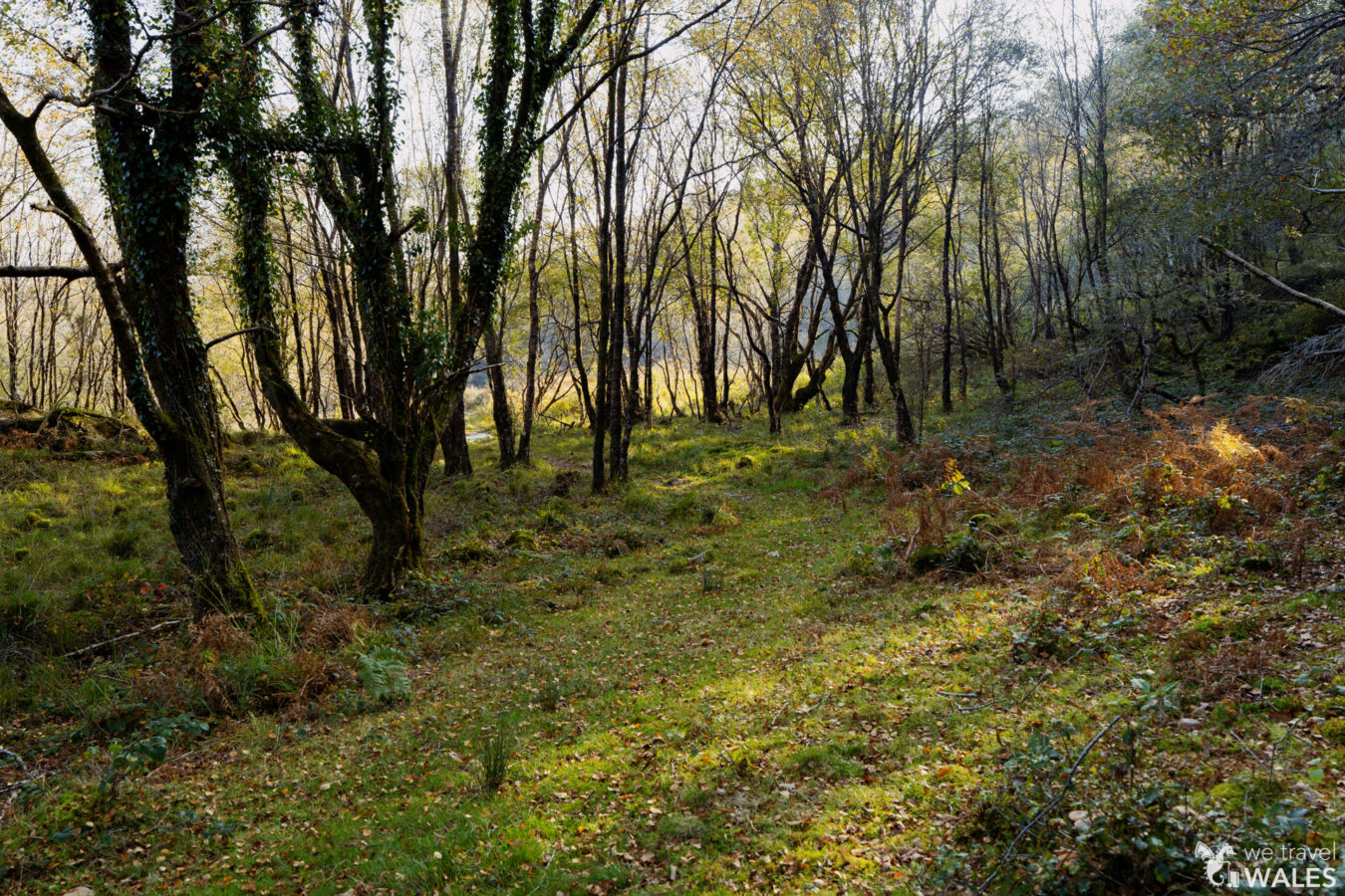
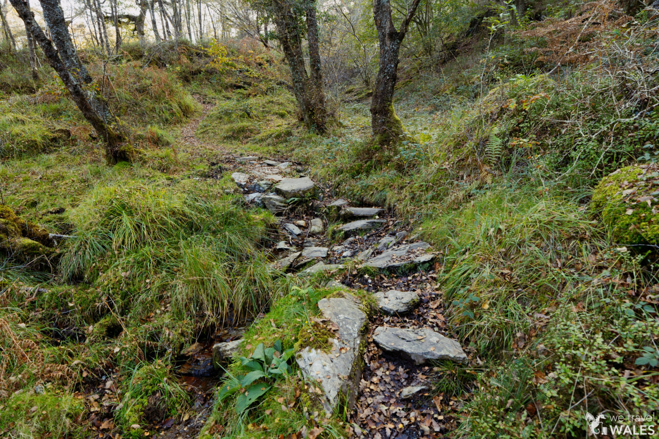
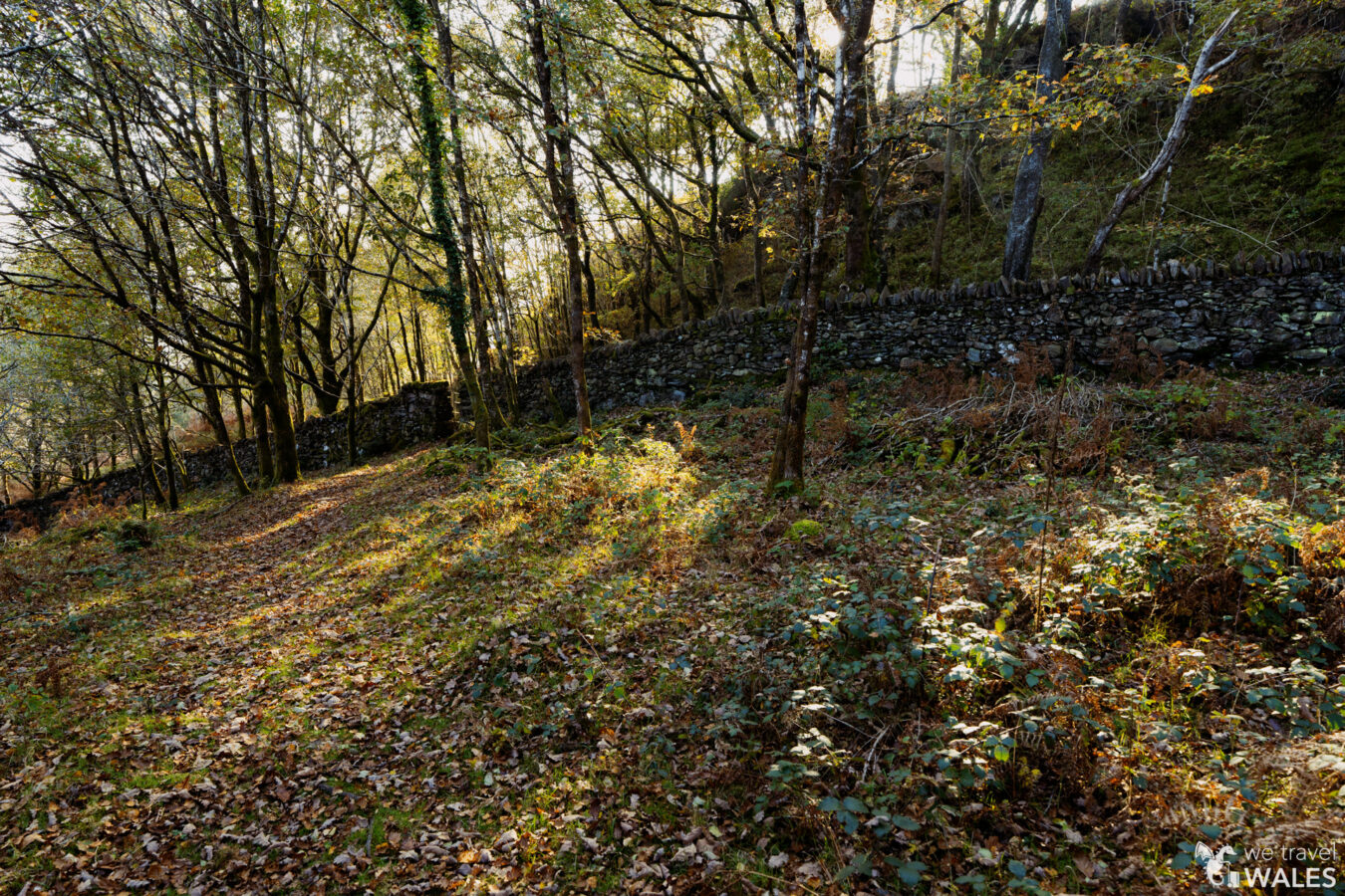
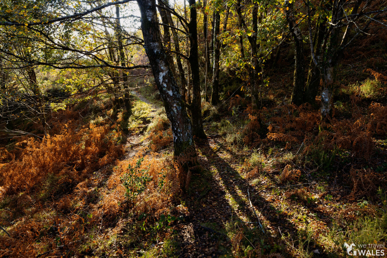
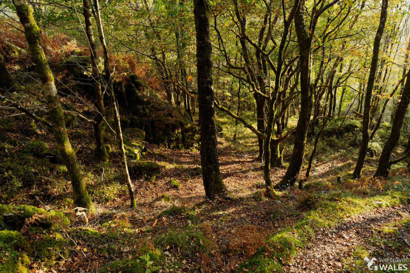
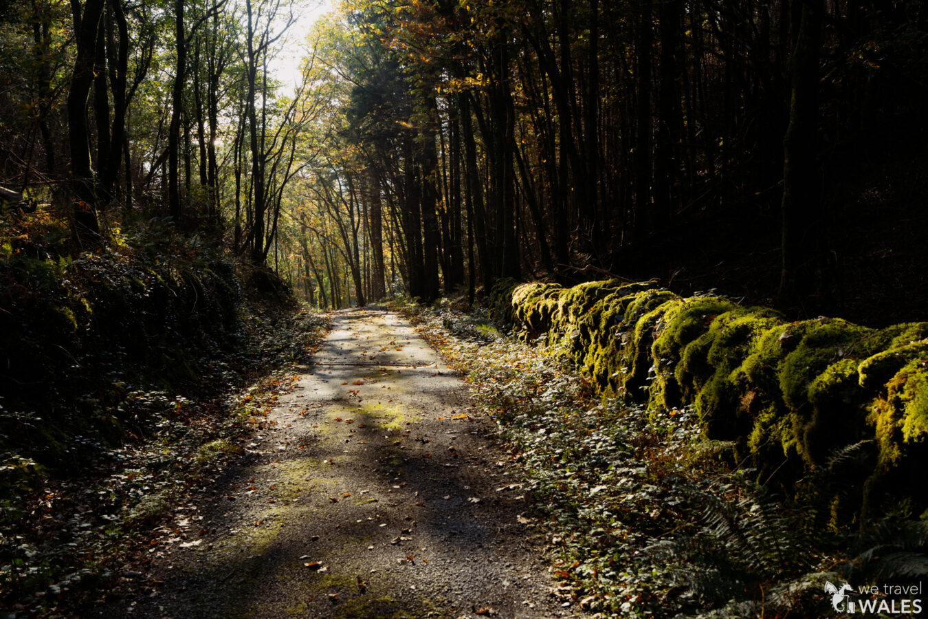
Follow the trail through the woods. You’ll notice the River Cwm Llechen flowing through a deep gorge. It’s a very scenic section of woodland, but take care, as it is steep and fences are only in place in certain areas. Do not attempt to go down to the water, as the currents are very strong. As you continue, the trail narrows in places, passing alongside a few ruins before reaching a gate.
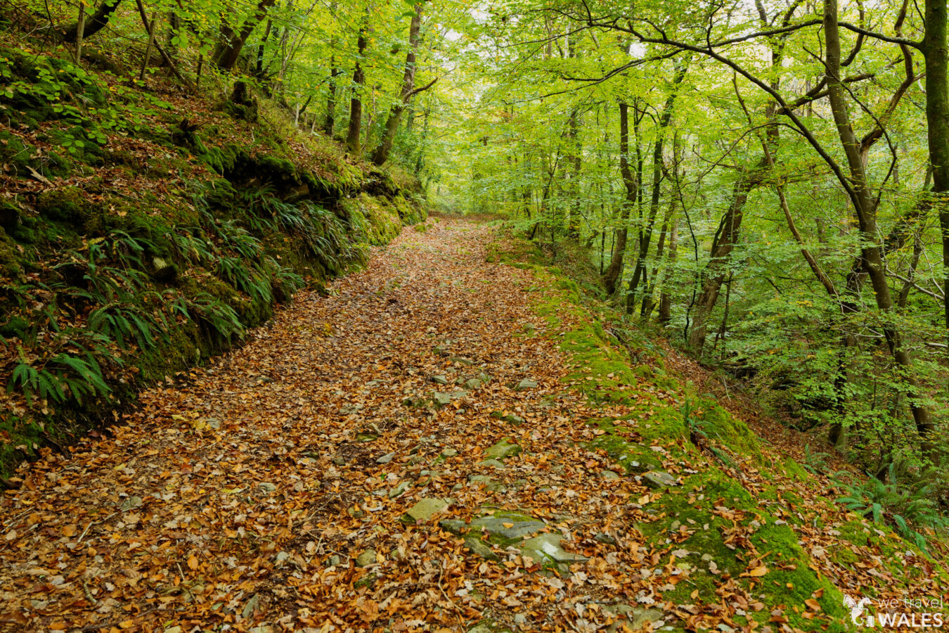
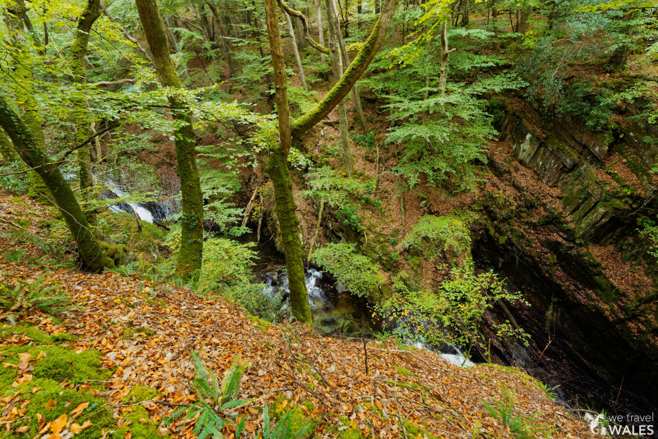
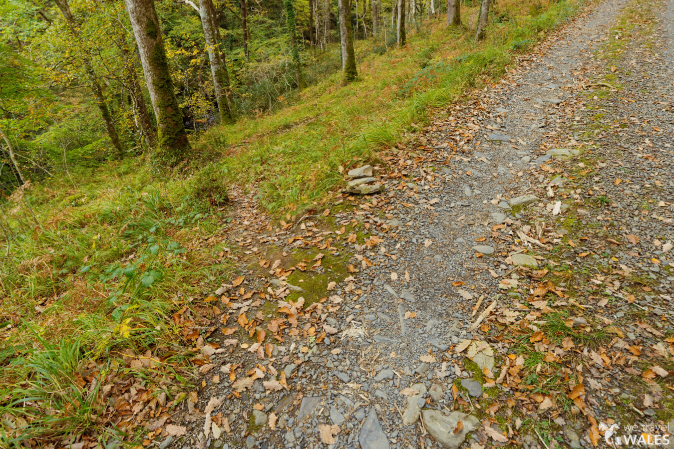
Go through the gate and cross a small bridge. On your left, you’ll see a few cascades and the remains of an old mineral treatment plant. Keep left at the fork and continue walking close to the river, which now runs along your left. Later, the path joins a farm track. Keep left and continue along it.
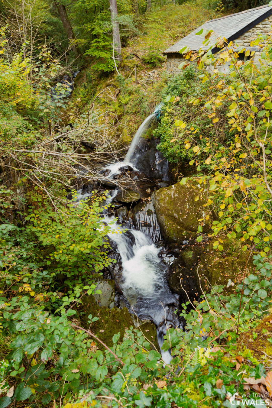
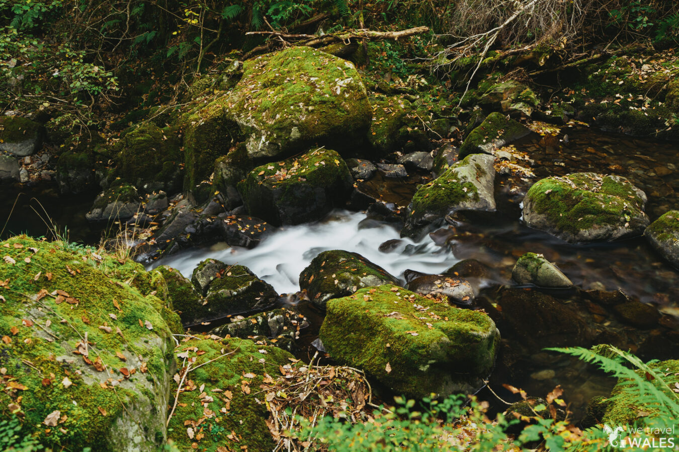
After about 220 yd (200 m), you’ll notice a small path branching off to the left. This will take you closer to the river, where you can see a few cascades. This is an optional detour and not part of the main route, but it’s only a short walk.
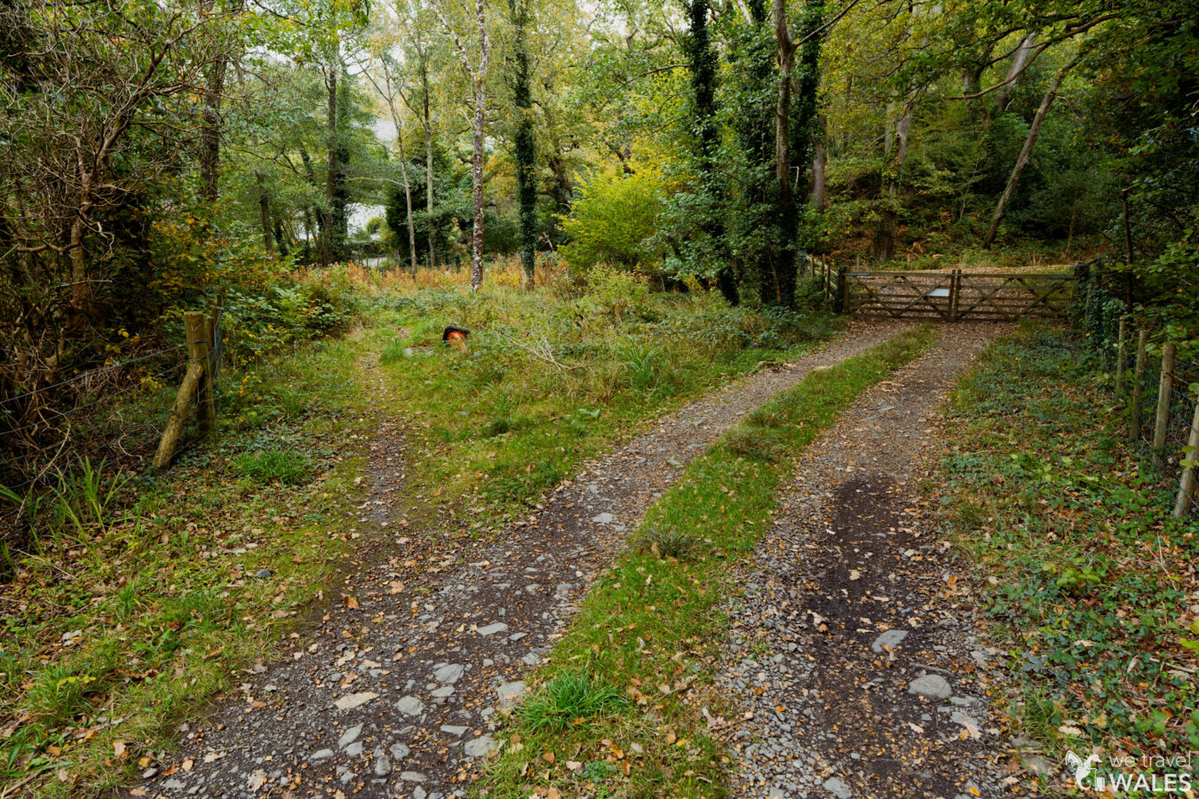
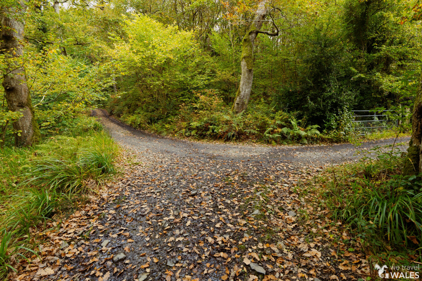
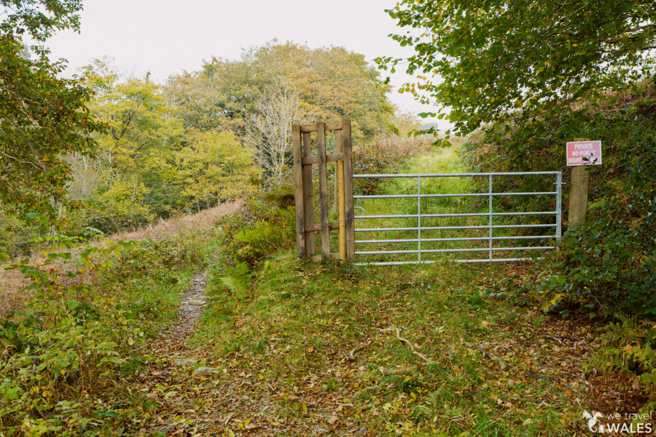
Back along the main track, you’ll pass a small active mining site. Soon after, take the path on the left beside a large gate, which is not a public right of way. You will meet an old kissing gate that leads you onto a tarmac road in Llechfraith Isaf. Turn right and walk along the tarmac road for about 245 yd (225 m).
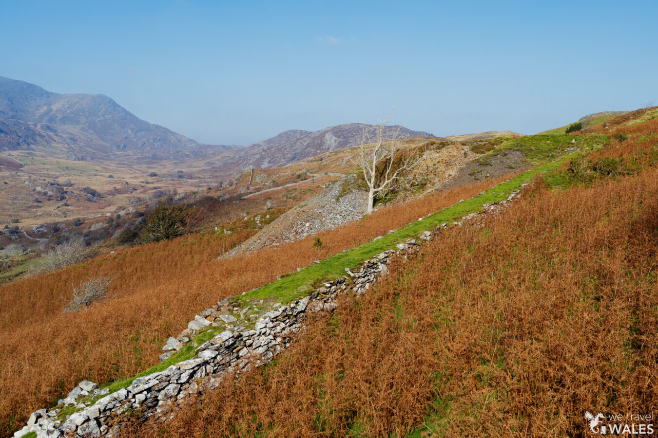
Clogau Gold Mine
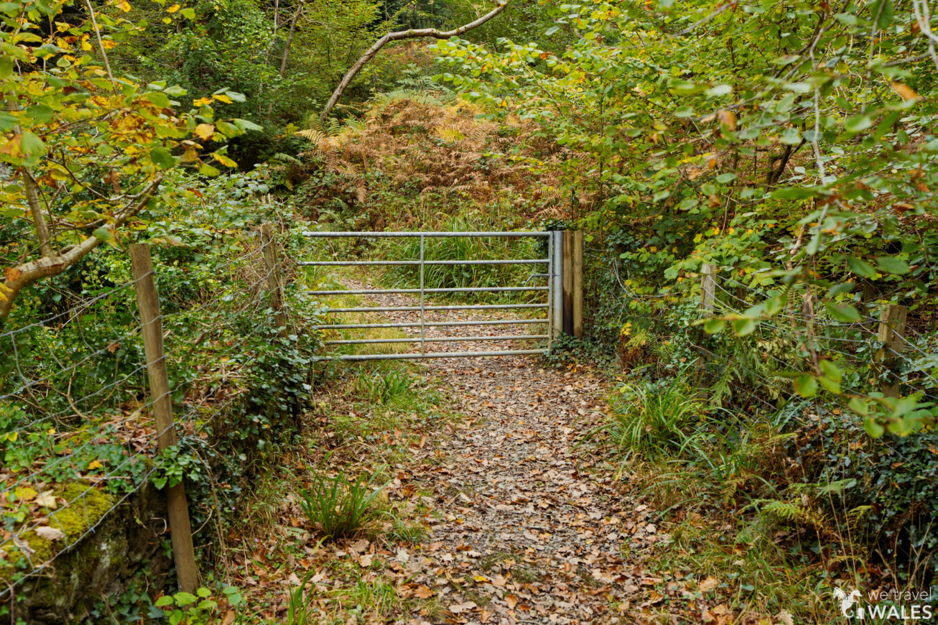
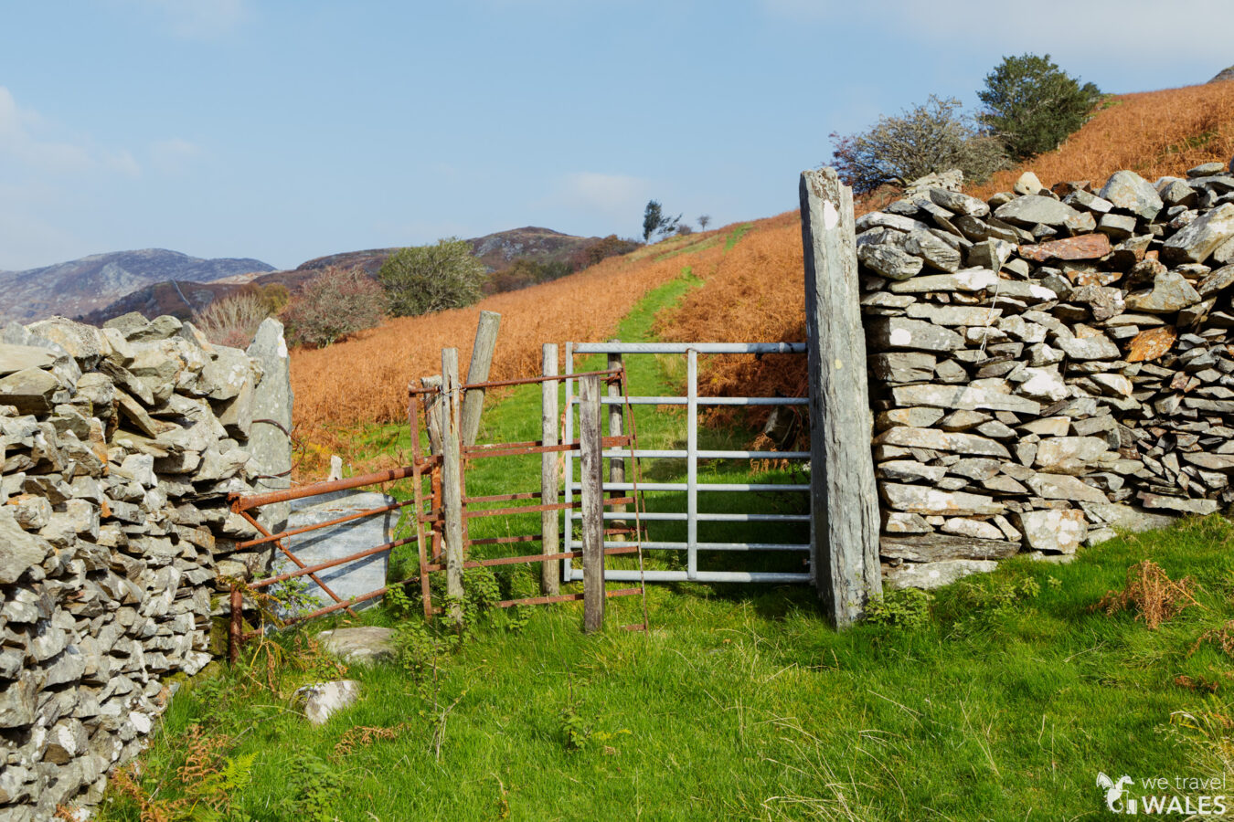
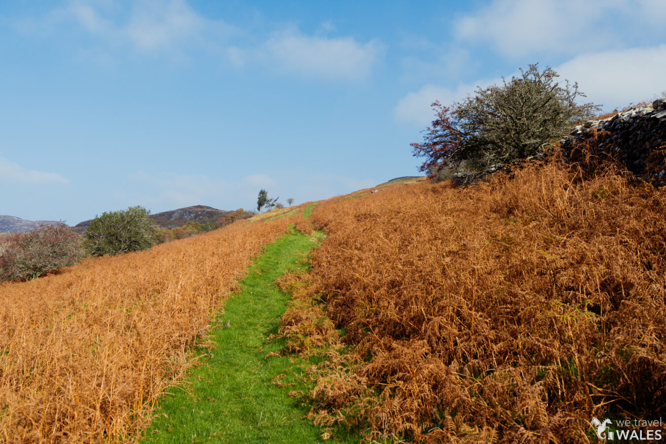
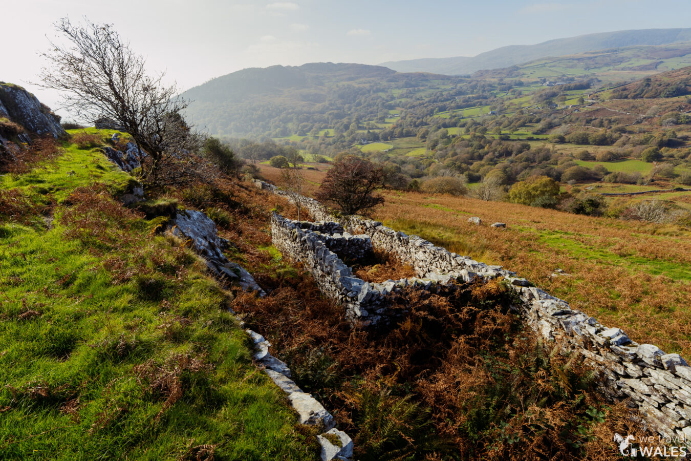
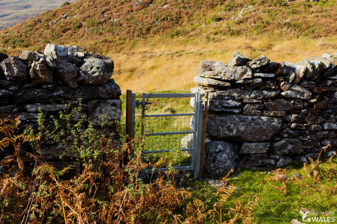
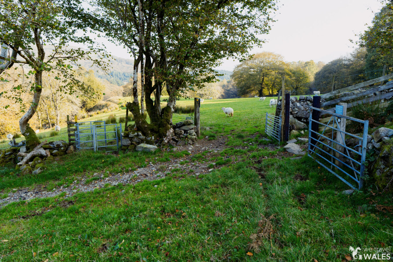
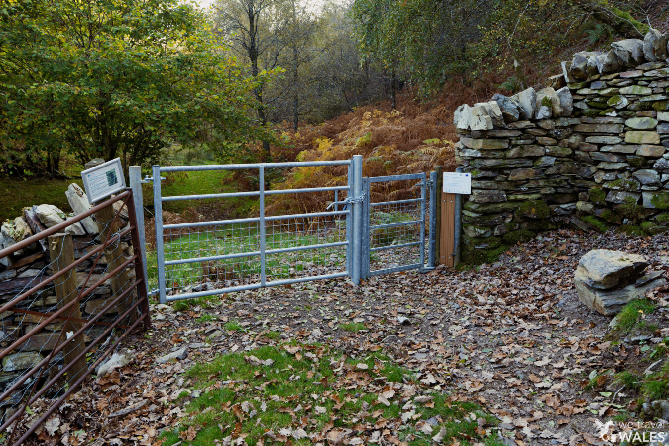
Look out for the footpath sign on your left and go through the large gate, leaving the road. Walk up and take the left path at the fork, continuing along the fence and then along a wall. You will pass a large wooden gate followed by an older kissing gate. You have now arrived at the site of the Clogau Gold Mines.

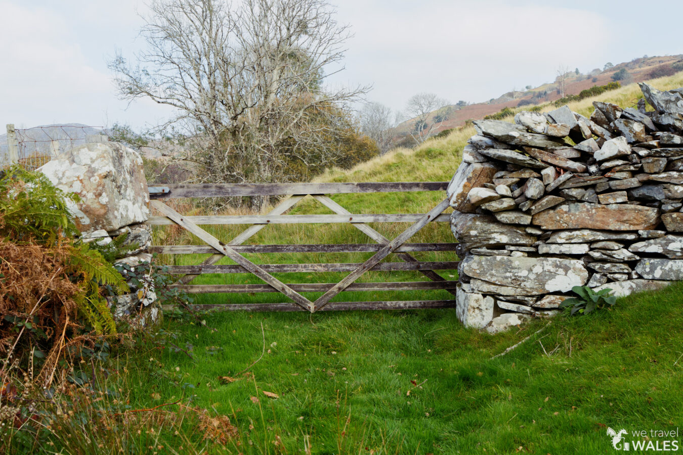
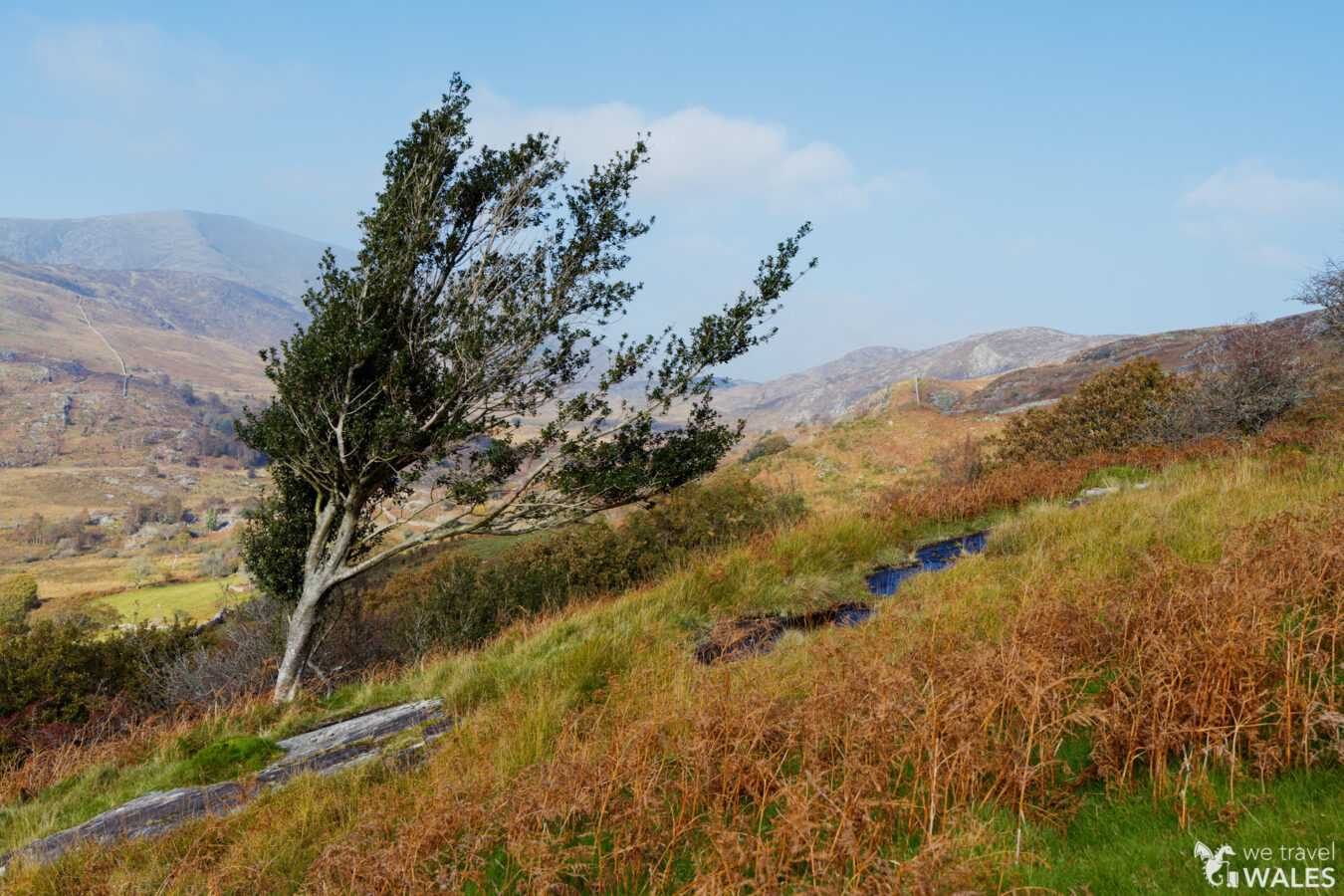
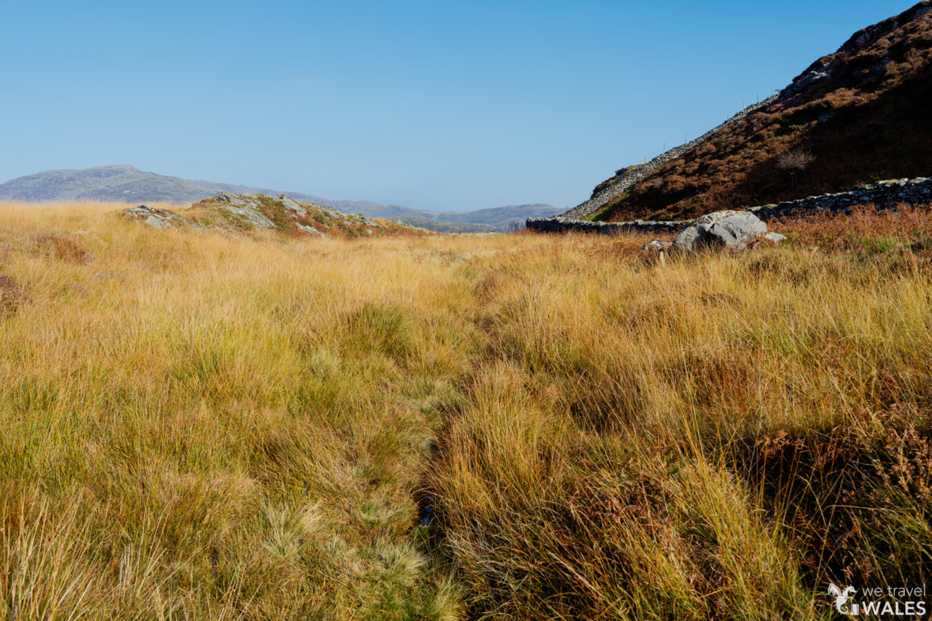
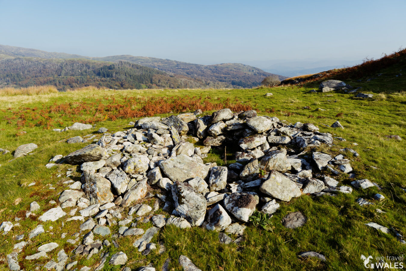
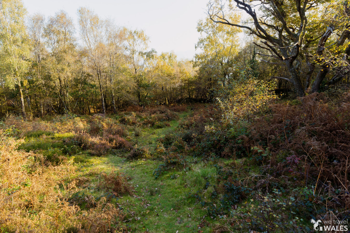
The path continues straight, but feel free to explore the area along secondary paths to find a few ruins and fenced-off entrances to the mines. There isn’t a huge amount to see in terms of ruins, but the whole landscape is fantastic and very peaceful. I also found a nice large rock, which provided the perfect spot for a picnic. Do note that some paths lead nowhere or end at old walls; they may be unstable, so it’s best not to climb over them. If there isn’t a clear way forward, return the way you came.

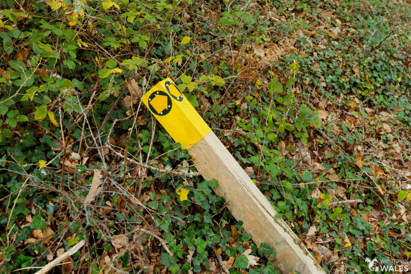
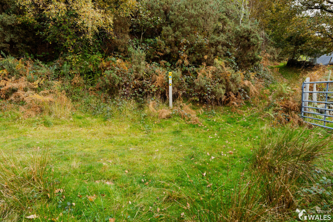
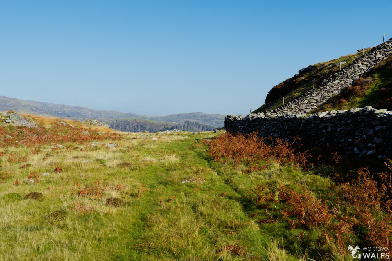
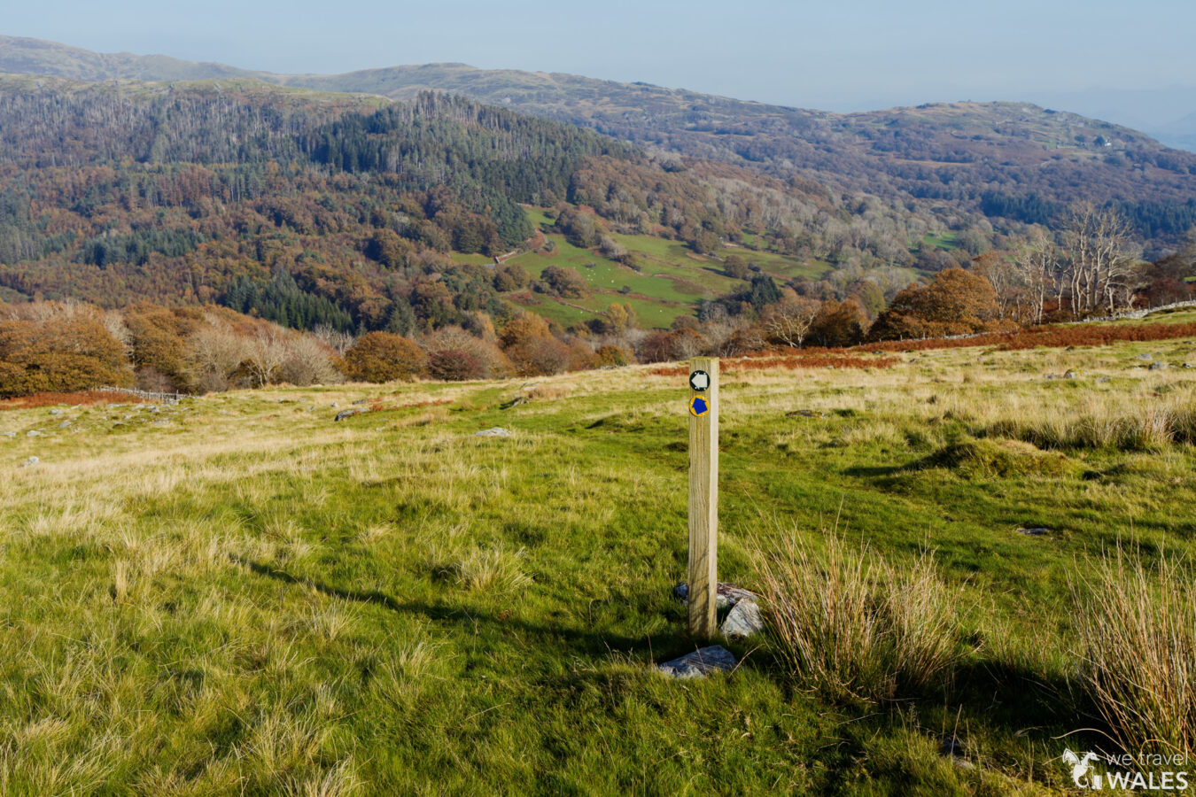
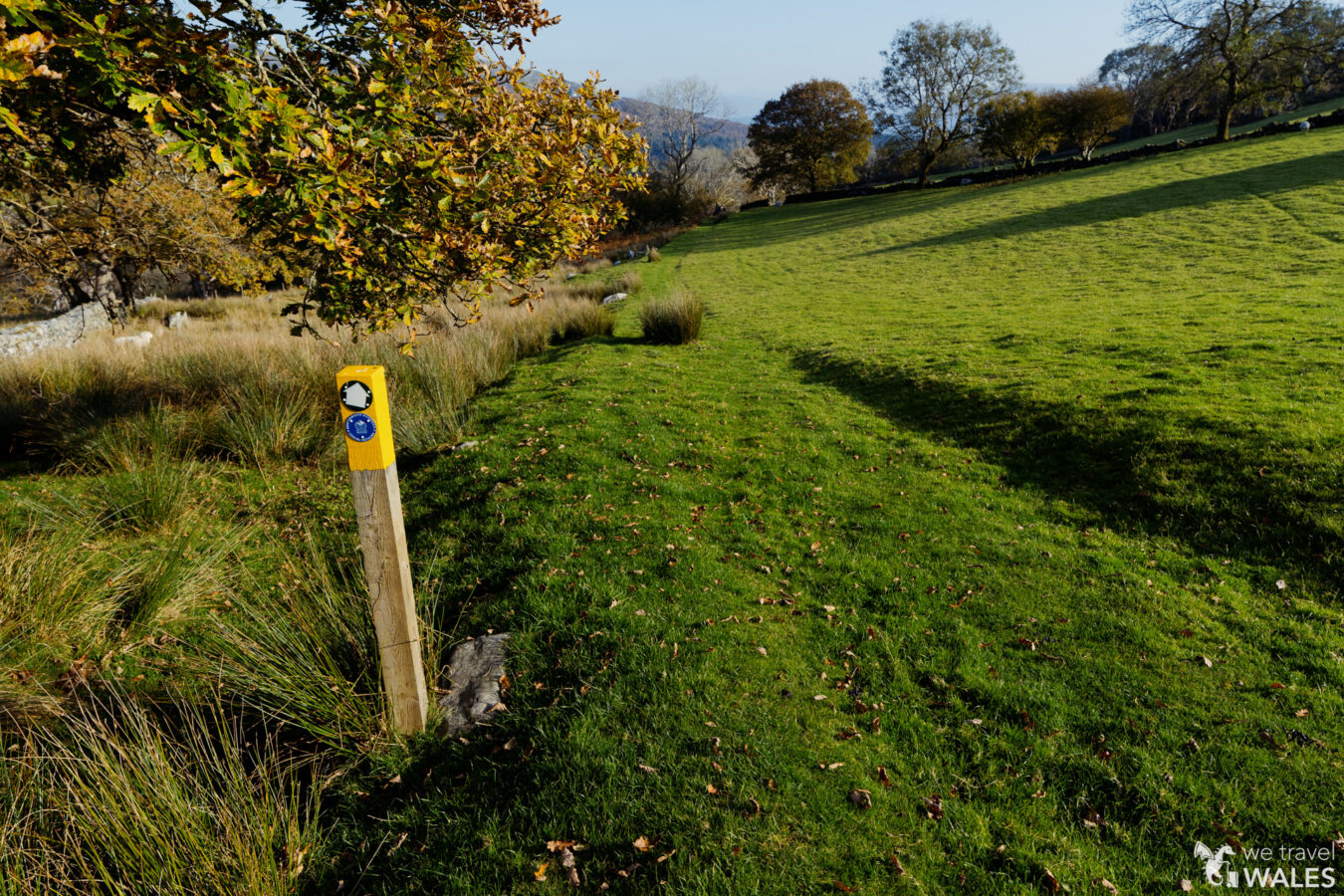
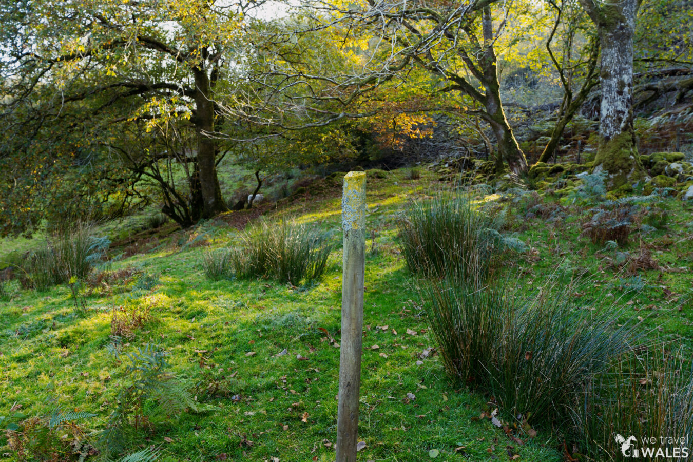
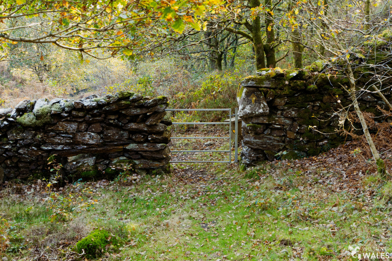
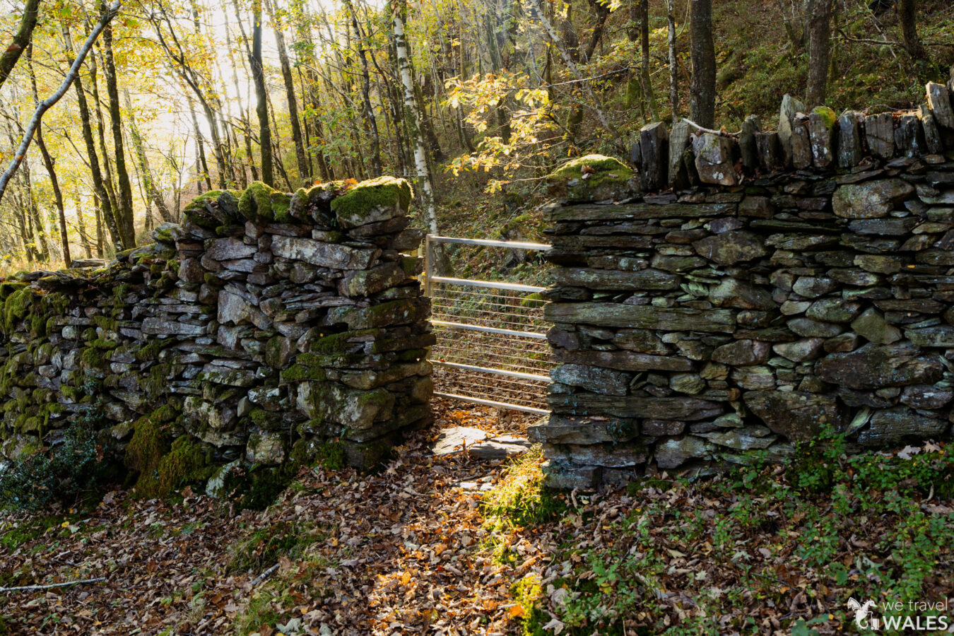
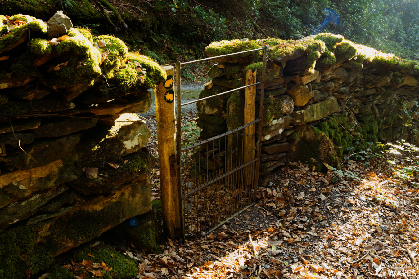
When you are ready to continue, go back onto the main grassy trail you arrived on, and look for the pole with the footpath sign that leads you through old walls. You’ll soon reach the first gate, then a second gate, followed by a third, smaller gate set into the wall on your left.
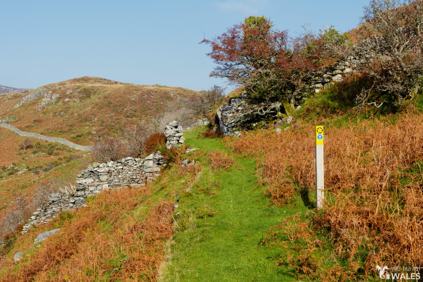

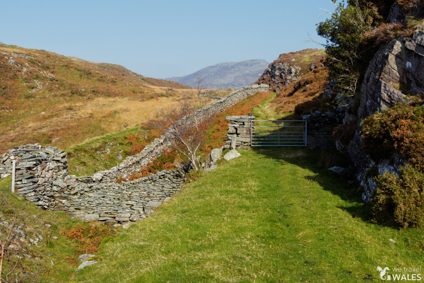
With the wall on your right, keep walking along. The path in this section is not very clear, but you essentially want to stay close to the wall on your right. Once the wall ends, continue straight and look for another post with two signs. Go past the post and walk downhill towards another wall.
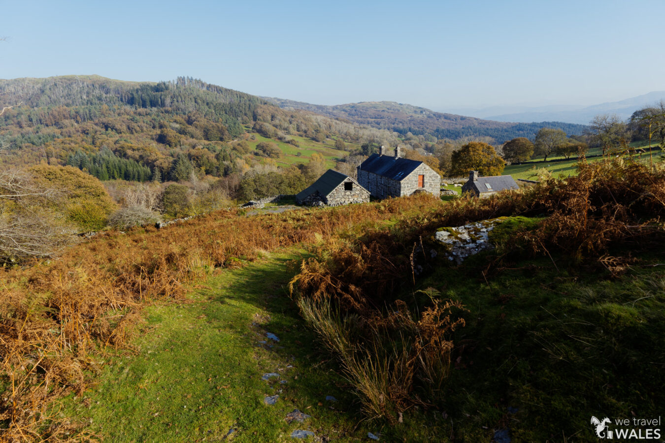
Garth Gell Farmhouse and Woodland
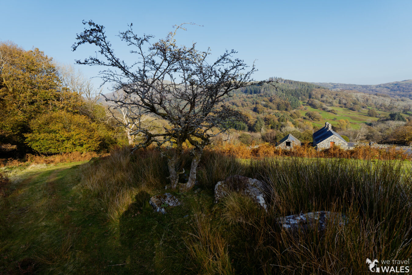
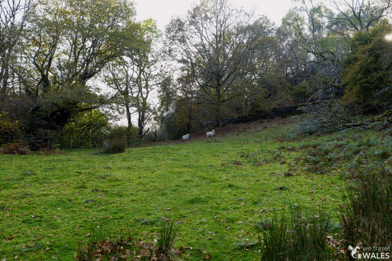
Pass through the kissing gate in the wall and follow the grassy path downhill until you reach Garth Gell Farmhouse.
NOTICE
Please note that this section is a courtesy path, used by permission of the landowner. Keep your dog on a lead to avoid disturbing the livestock, and follow the Countryside Code.
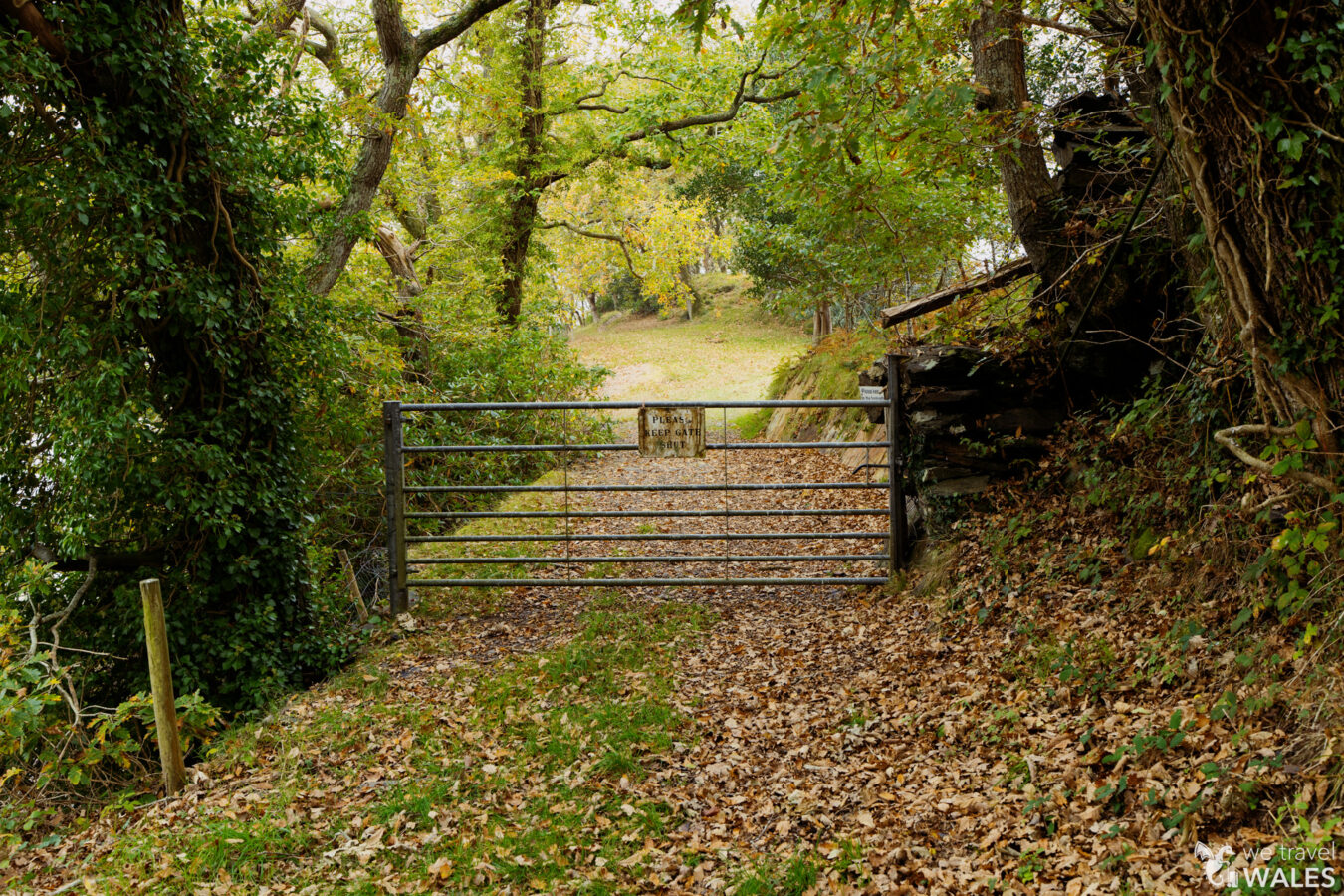
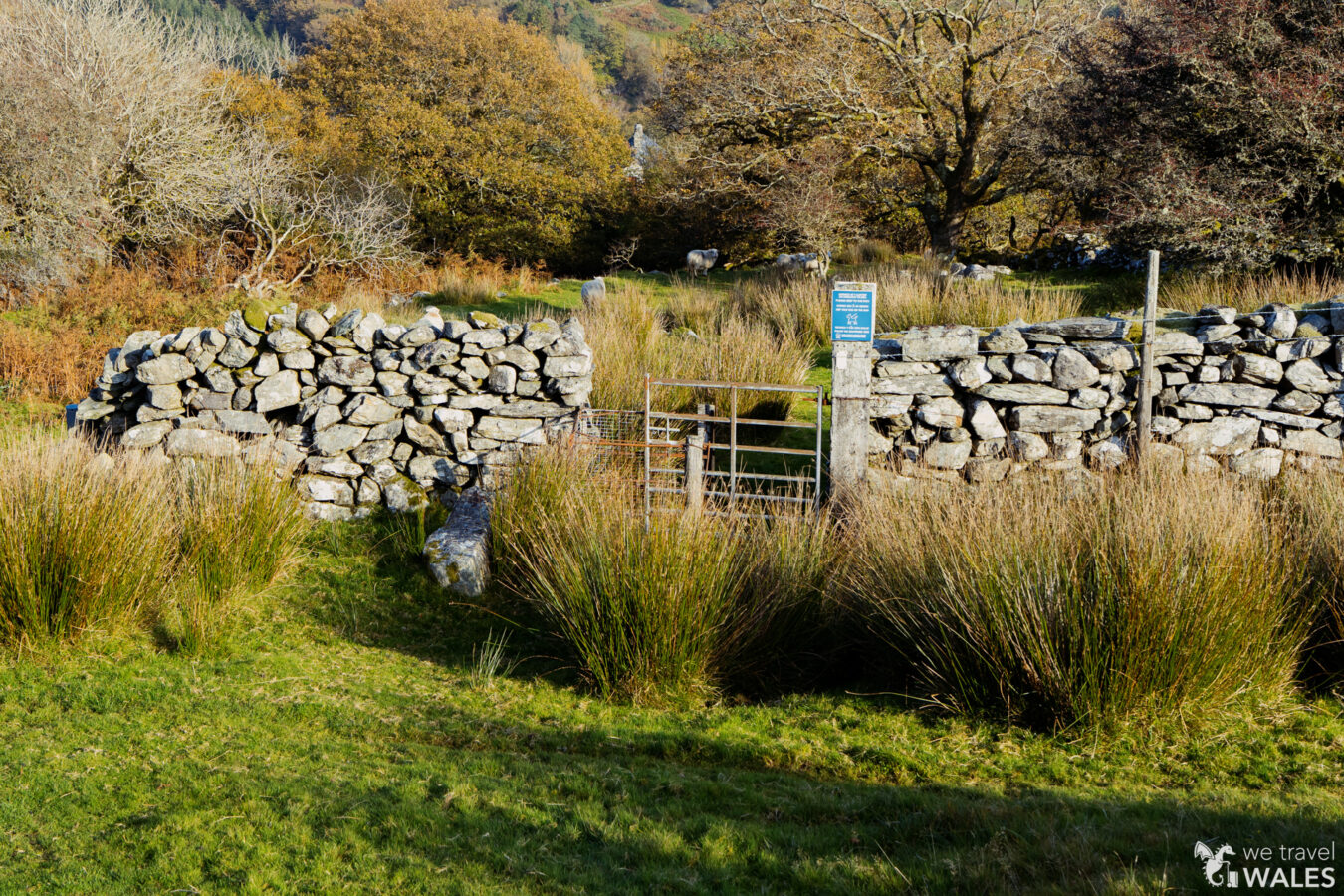
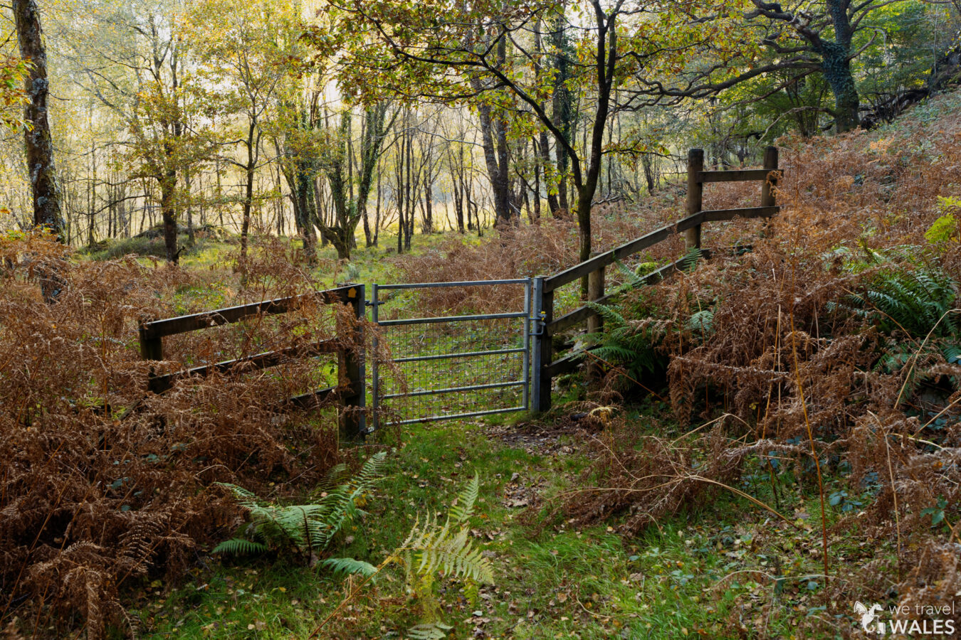
You can walk through the farmhouse area and look for a gate on the right. Pass through the gate, and a sign will direct you to continue along the grassy path. You’ll pass another gate before reaching a kissing gate and farm gate next to each other. Here, turn right and walk uphill. The path isn’t very clear, but you’re looking for another gate with the Coed Garth Gell sign.

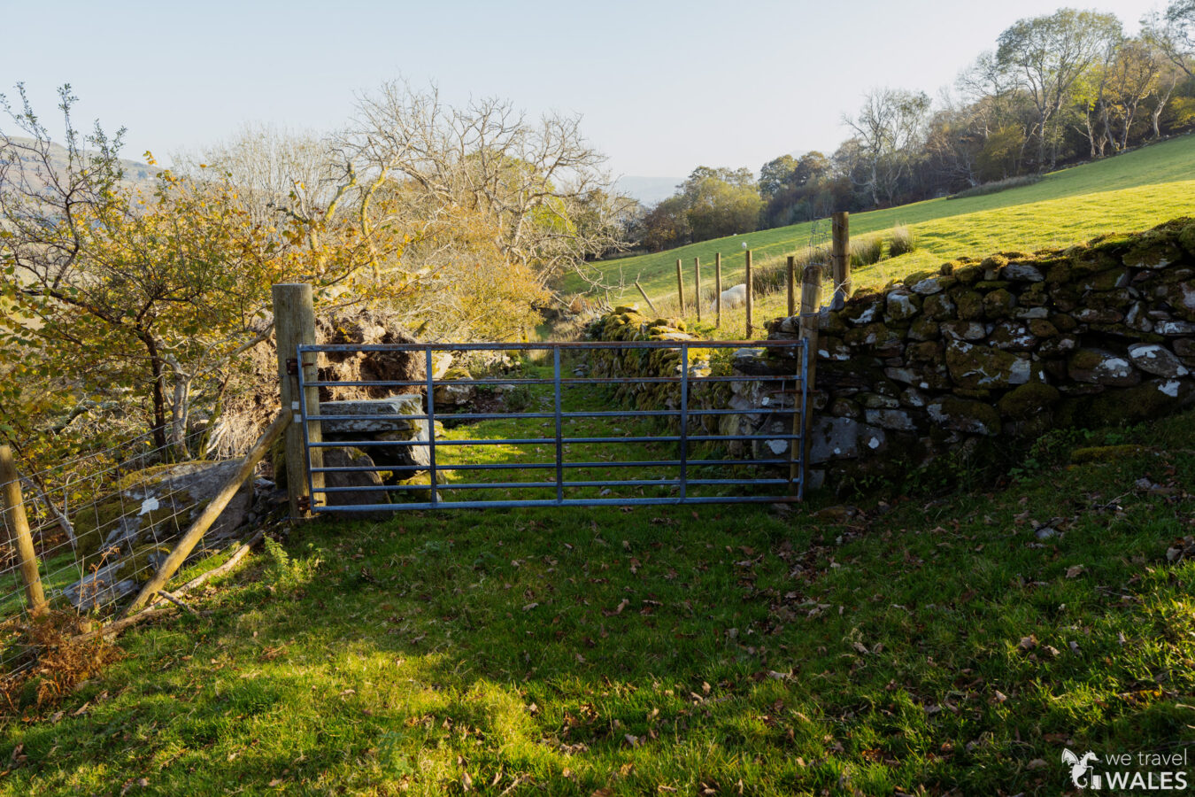

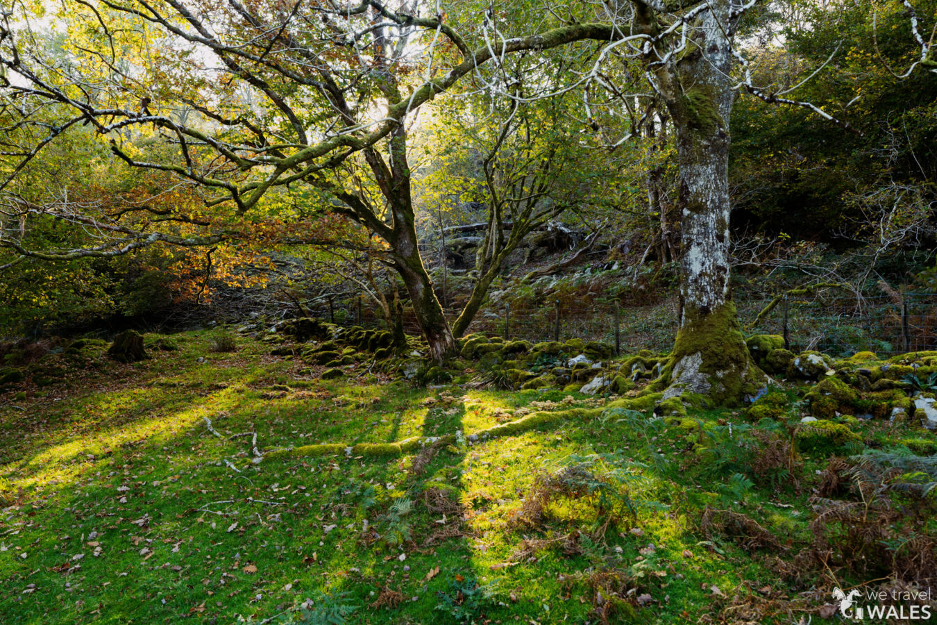
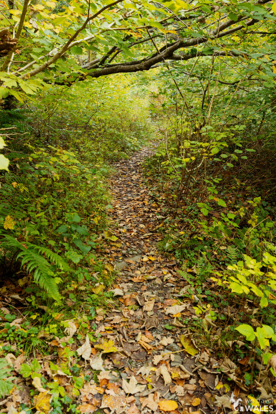
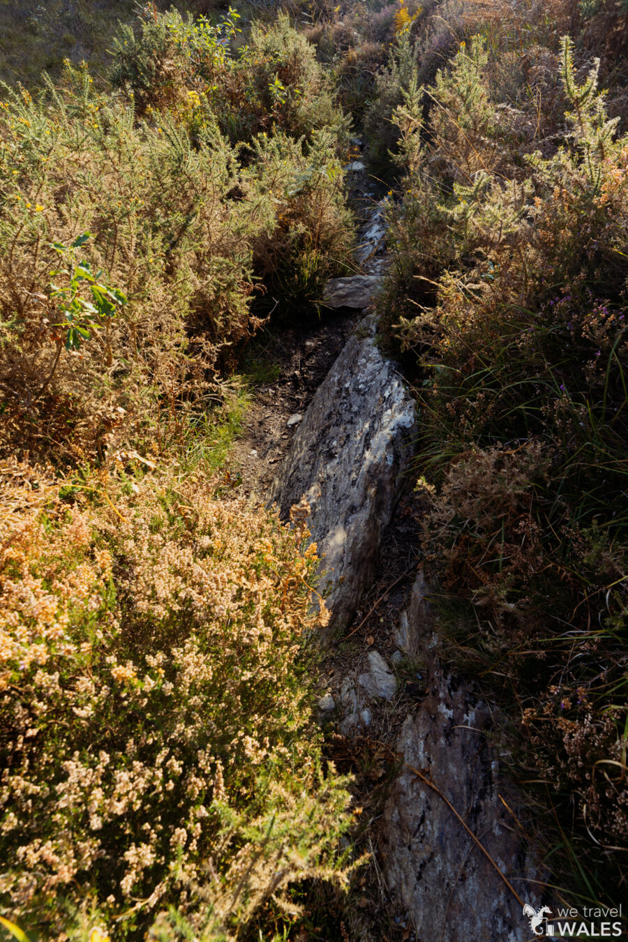
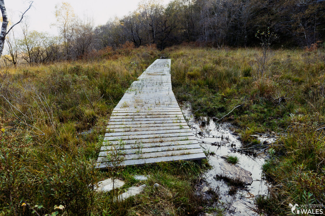
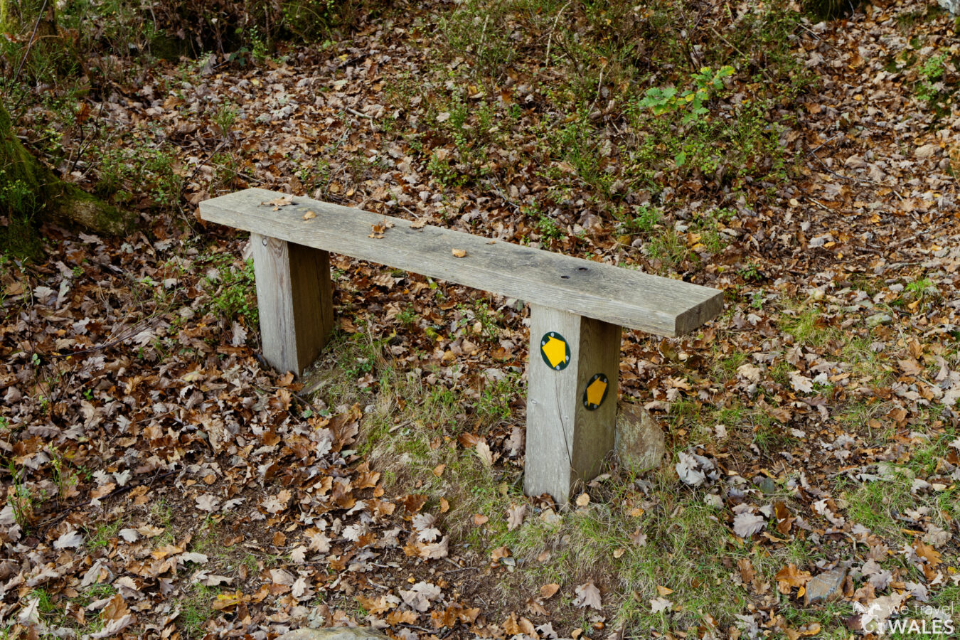
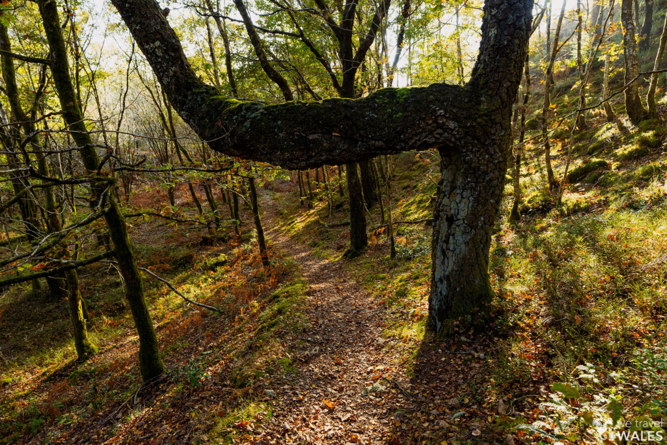
Once you find it, pass through the gate and enter the woodland. Follow the path, passing another gate before reaching a bench. Here, the path becomes narrow and rocky before leading to a boardwalk.
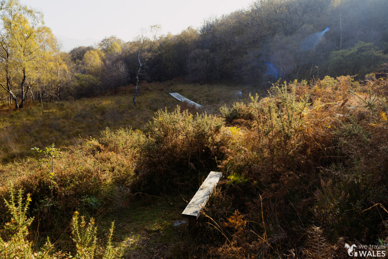
Go through another gate with a bench on the side. The path naturally leads you to a wall on your right and another gate set into the wall. Navigate carefully through the trees before the trail briefly exits the woods, offering a great viewpoint of the Mawddach River. Take care, as this section of the trail is quite narrow and steep.
Continue along and re-enter the woodland. Walk downhill until you arrive at the bottom and spot the information panel.
You’re almost at the end. Turn right and walk along the wall. Pass a gate, then go through a second gate embedded in the wall on your left to join the tarmac road. Walk down until you reach the lay-by where you parked your car.

Note: If you came by bus, continue with the first section described in this chapter, which takes you along the river and then back to the village of Bontddu.
Additional read:
- Interested in more walks? Then check out our Hikes and Walks section!
