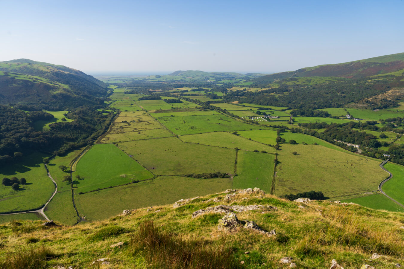
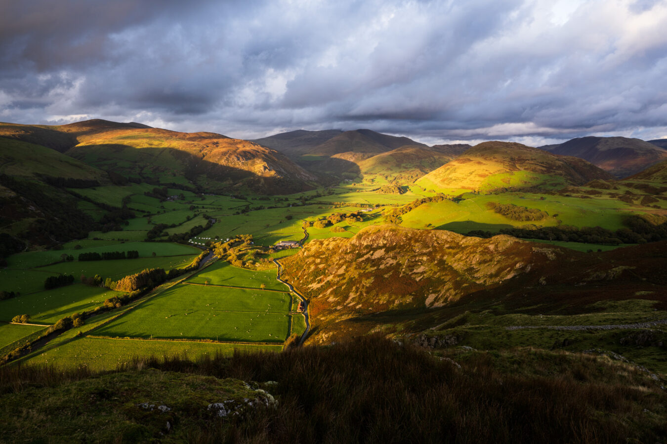
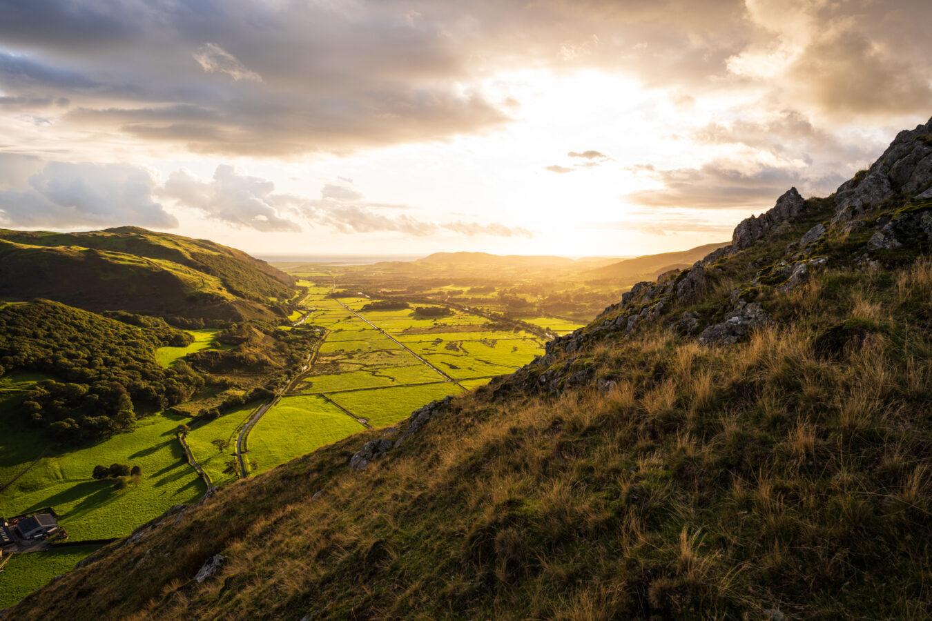
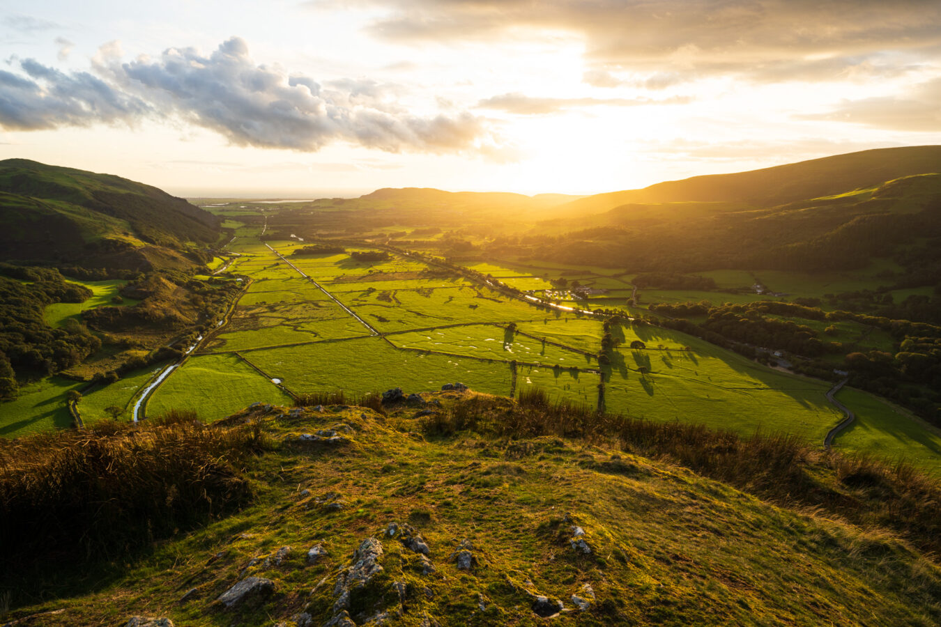
Craig yr Aderyn, also spelled Craig y Deryn, is a hill situated on the south bank of the River Dysynni, approximately six miles from the coastal town of Tywyn. It is also known by its English name, Bird Rock (or Bird’s Rock). It rises 258 metres (846 ft) above sea level. Walking to the top offers stunning views of the Dysynni Valley, with Tywyn and the sea in the background.
Wildlife enthusiasts will be pleased to know that Craig yr Aderyn is designated as a Site of Special Scientific Interest. It is home to cormorants, which nest further inland here than anywhere else in Wales, and red-billed choughs, a species on the endangered list.
The hike to the top doesn’t take long, leaving you plenty of time to explore another nearby attraction, Castell y Bere. Below is everything you need to know.
IN A NUTSHELL
Craig Yr Aderyn / Castell Y bere
How long is it? The hike is just under one mile long and will take between 25 and 35 minutes, depending on your pace.
How easy is it? There is a steep ascent halfway, but most of the walk is along a dirt road and then grass. Near the top, you’ll come across a few rocks to climb, but nothing too challenging.
Can I bring my children? I would think a child aged 4 or older should be able to manage, although you know your child best. The path is relatively safe, but make sure they stay on course as there are a few cliffs along the way and at the top.
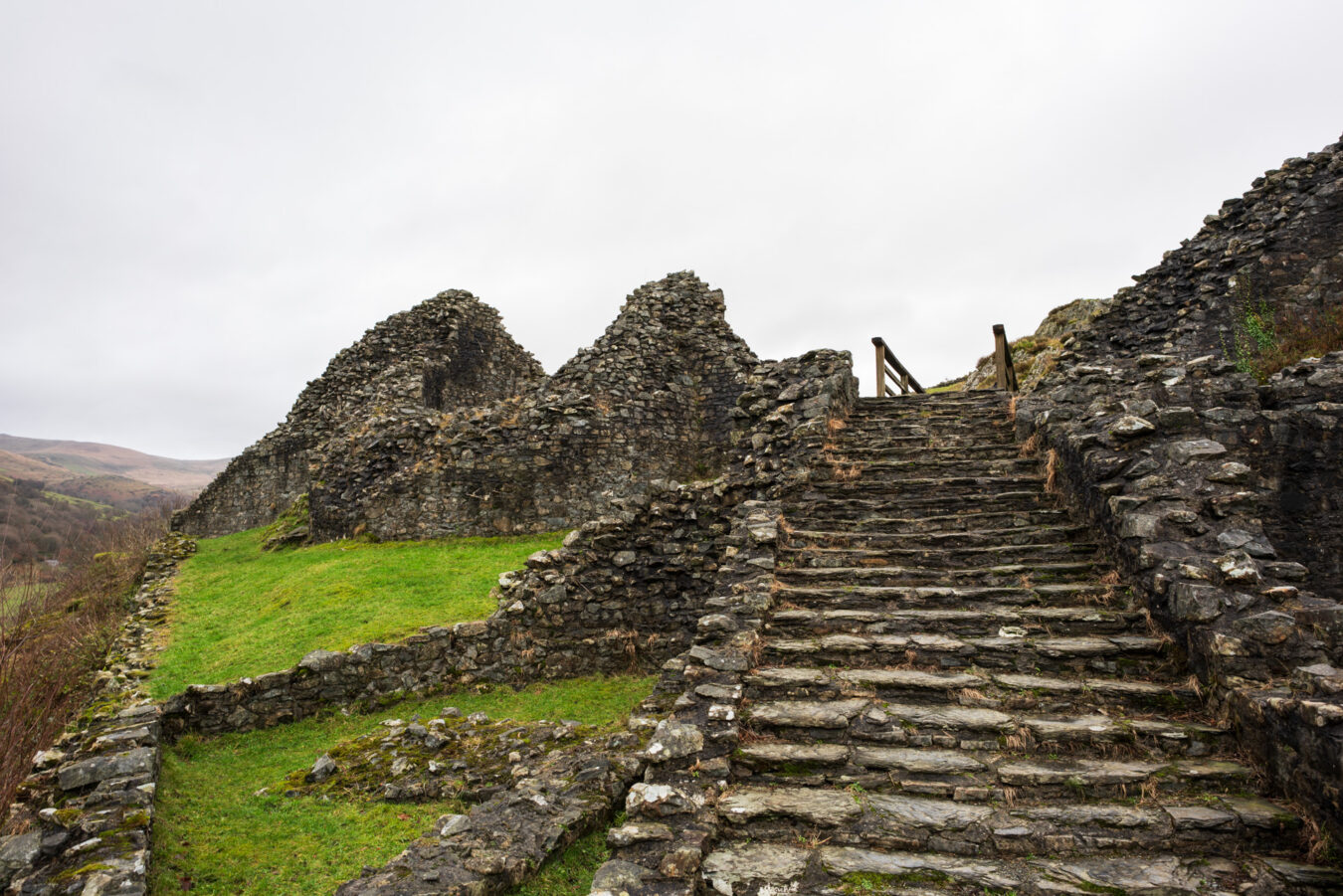
Accessibility: The steep ascent at the beginning and the rocky sections near the top may prove too challenging. Access to the castle is also difficult due to a narrow path and a large staircase at the entrance.
Where can I park my car? There is a small area by the gate at the start of the walk that can accommodate a few cars. Another small parking area is available near the castle.
Can I get there by public transport? No. The closest town is Bryncrug, where you could arrive by bus and then walk to the starting point. However, be aware that much of the route involves narrow B roads.
Are there any amenities nearby? None. You’ll need to go to Bryncrug for public toilets and a restaurant (Peniarth Arms), or Tywyn.
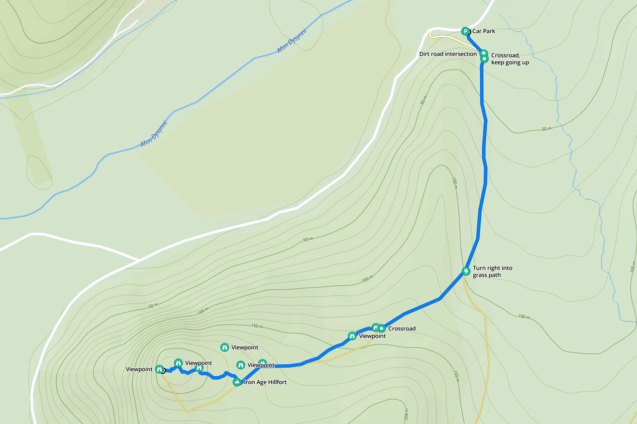
Craig Yr Aderyn Map And Route
There are different starting points you can choose from, depending on whether you’re looking for a short or long hike, and how much you’d like to explore.
In this article, I’ll highlight the shortest and easiest route, which begins at a tiny car park located 4 miles north-east of the small town of Bryncrug, adjacent to Tywyn.
Free PDF guide!
- If you subscribe to our newsletter, you’ll get access to our exclusive members’ area, where you can download a mobile-friendly PDF guide and a GPX file of this walk.
See starting point on
Google Maps | Apple Maps | what3words
How To Get There
There is a small parking area next to the gate where the trail begins. Be aware that it only accommodates around six or seven cars, so it can fill up quickly during busy periods.
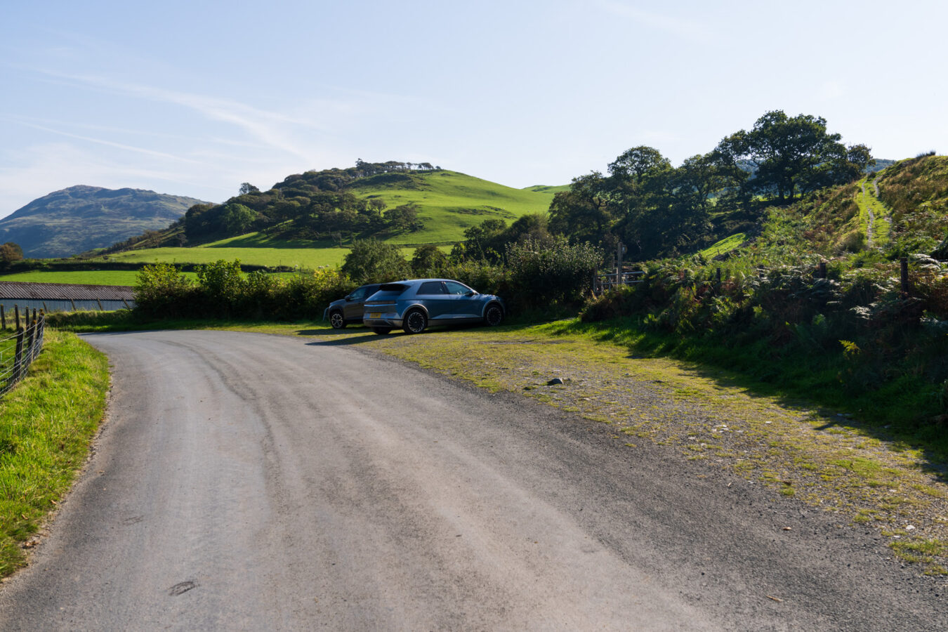
To reach the starting point, you’ll need to drive along narrow country roads. While there are passing places, you may need to reverse occasionally to allow other vehicles to pass.
There are no buses that travel along this road. The nearest public transport access is in Bryncrug, but from there, you would need to walk approximately 4 miles, mostly along narrow B roads, to reach the starting point.
The Hike To The Top Of Bird Rock
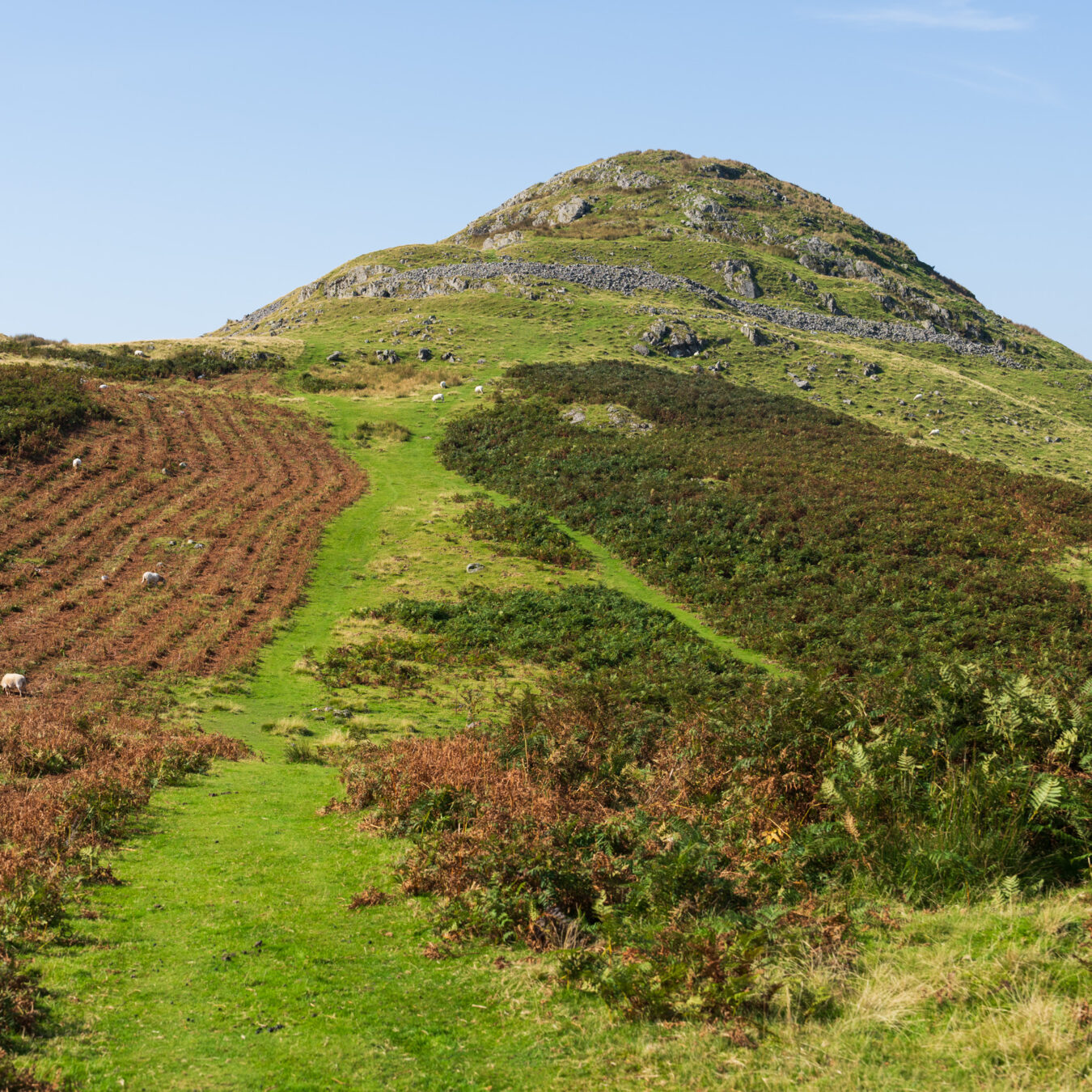
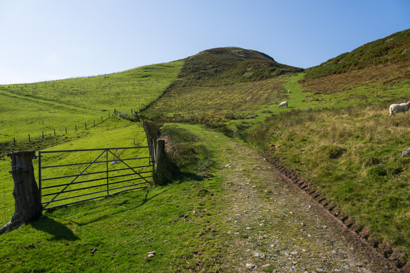
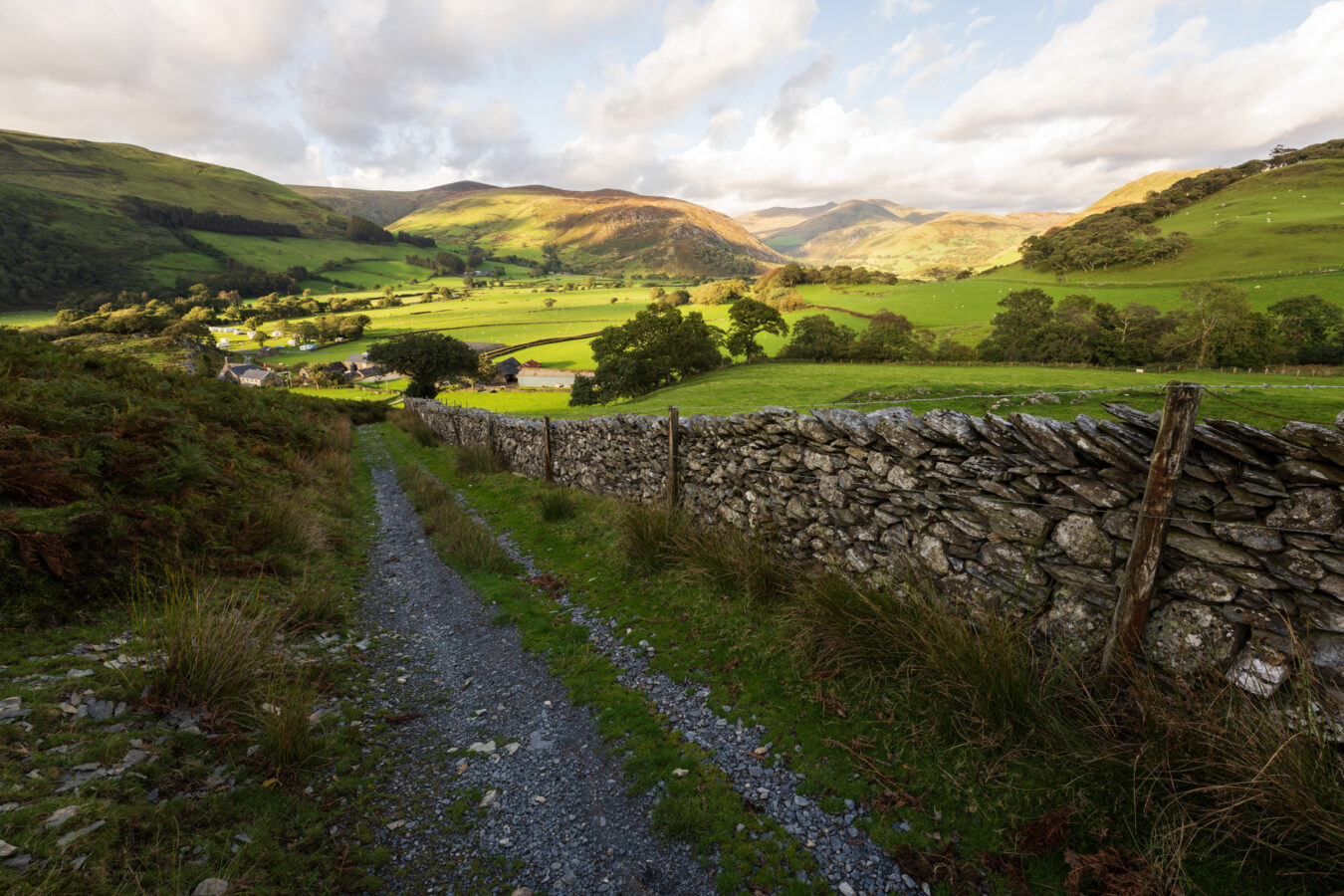
Cross the gate and start walking uphill. The first part of the trail is a dirt track, which is easy to follow.
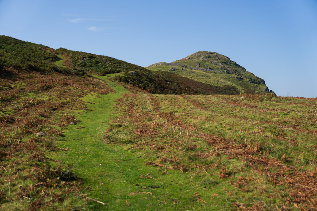
Approximately 580 yards (530 metres) from the start, you’ll notice a farm gate on your left. A few feet further on, a natural grass path branches off from the dirt track to your right, heading upwards. This is the route you need to take. The climb becomes steeper here, so take your time.
IMPORTANT
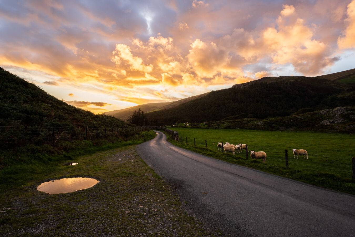
- There are always sheep in the area, so please keep your dog on a lead.
After another 0.14 miles, the grass path splits into two, but both lead in the same direction. Take the path on the right, where you’ll find a bench to rest and enjoy the first of many stunning viewpoints over the valley.
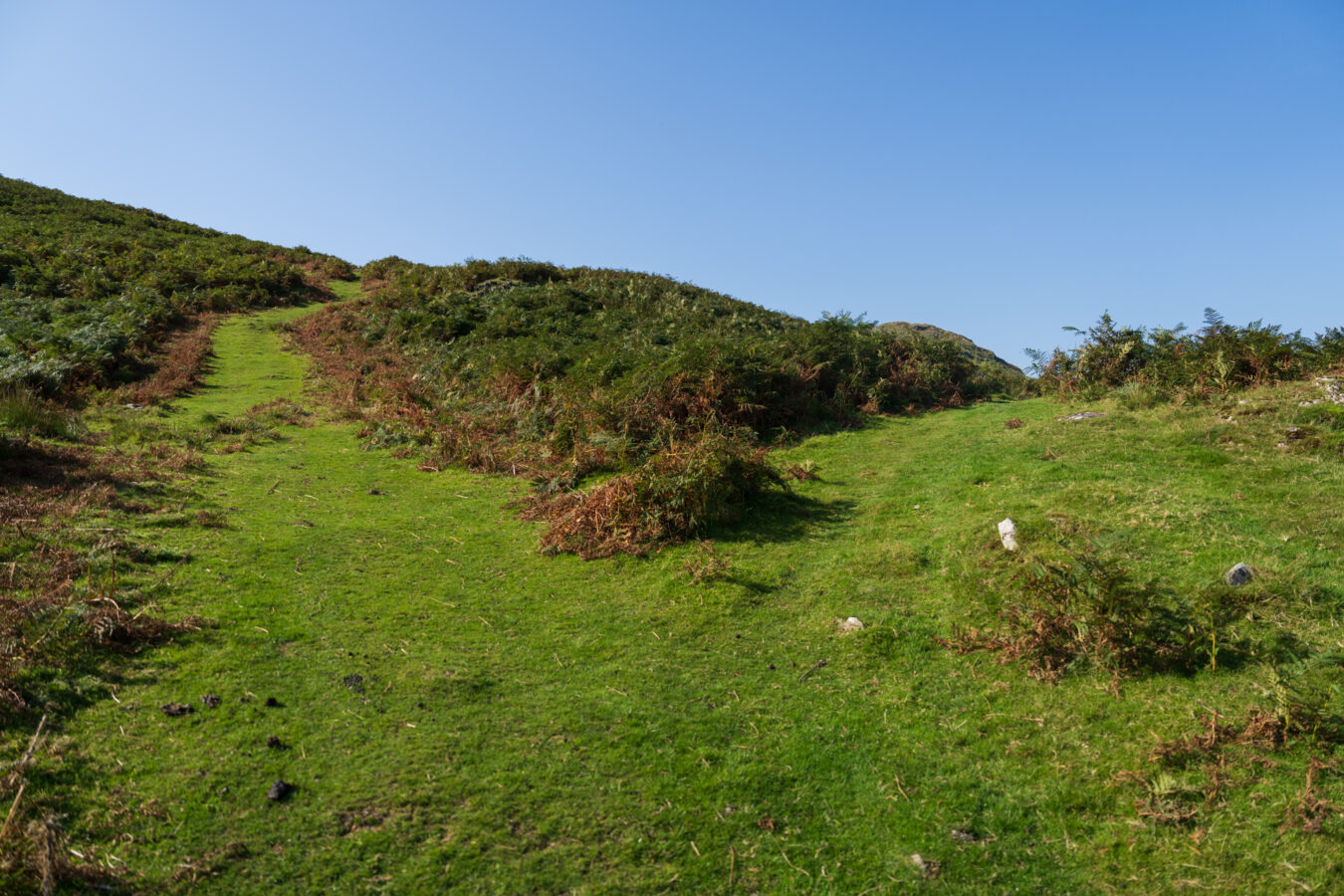
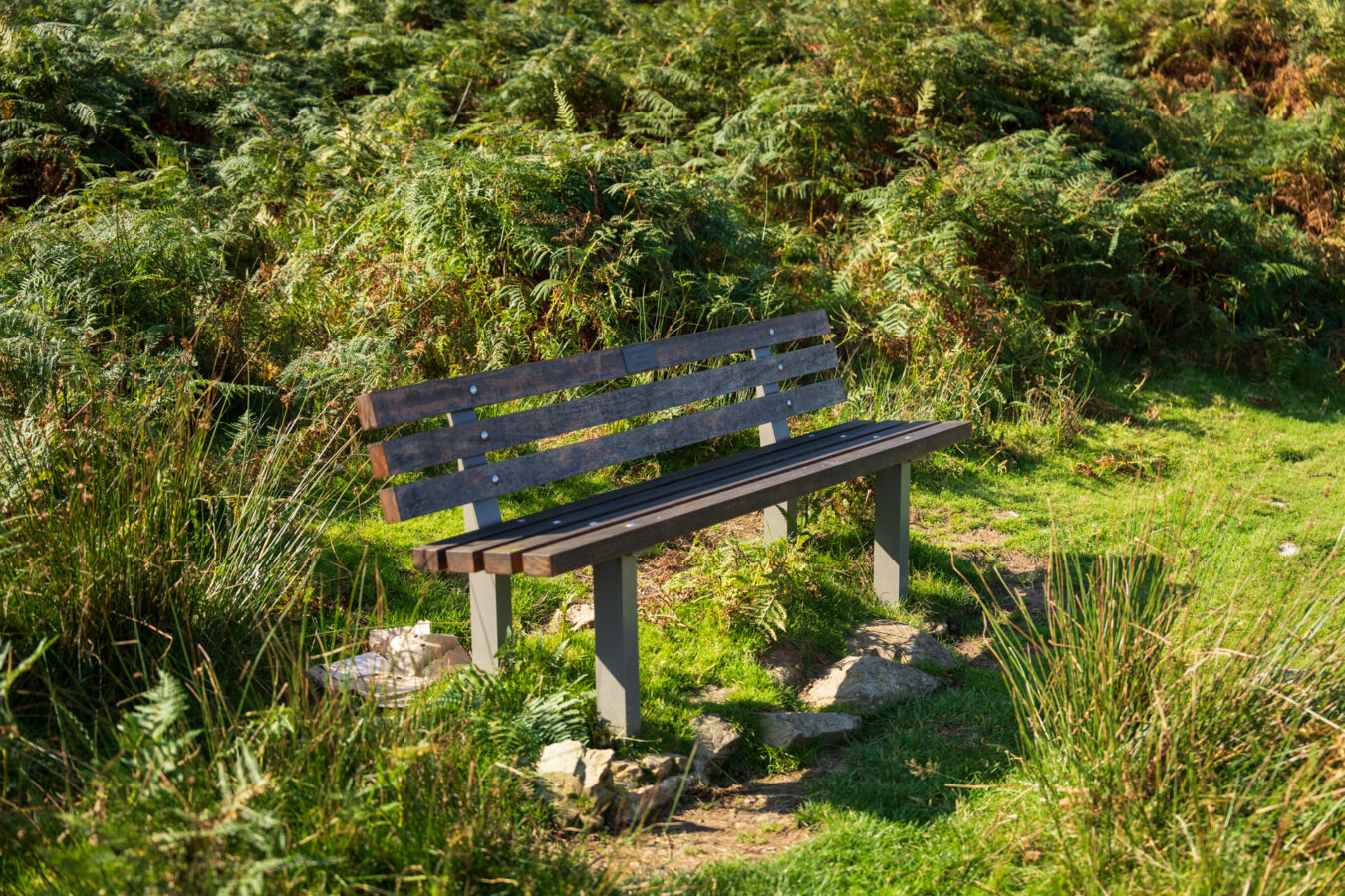
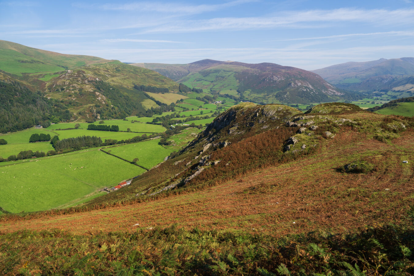
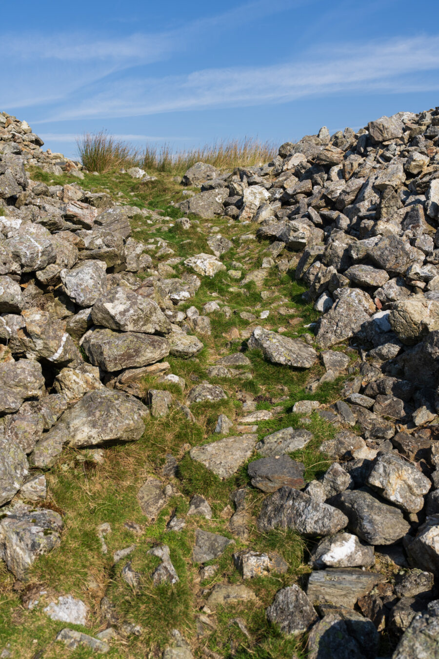
Continue following the path until you reach the remains of the Iron Age hillfort, marked by two distinctive banks of local stones. You can continue straight on or navigate around to the left. Both options work fine.
A BIT OF HISTORY
- Craig yr Aderyn is the site of an Iron Age hillfort, a type of fortified refuge built to take advantage of elevated terrain for defensive purposes. The site reveals two phases of construction: the first is an upper fort enclosure of approximately 0.6 hectares (100 by 55 metres), and the second is a stone-walled enclosure of 1.6 hectares (119 by 170 metres).
- The site has been excavated several times, with artefacts from the Roman era discovered in 1874.
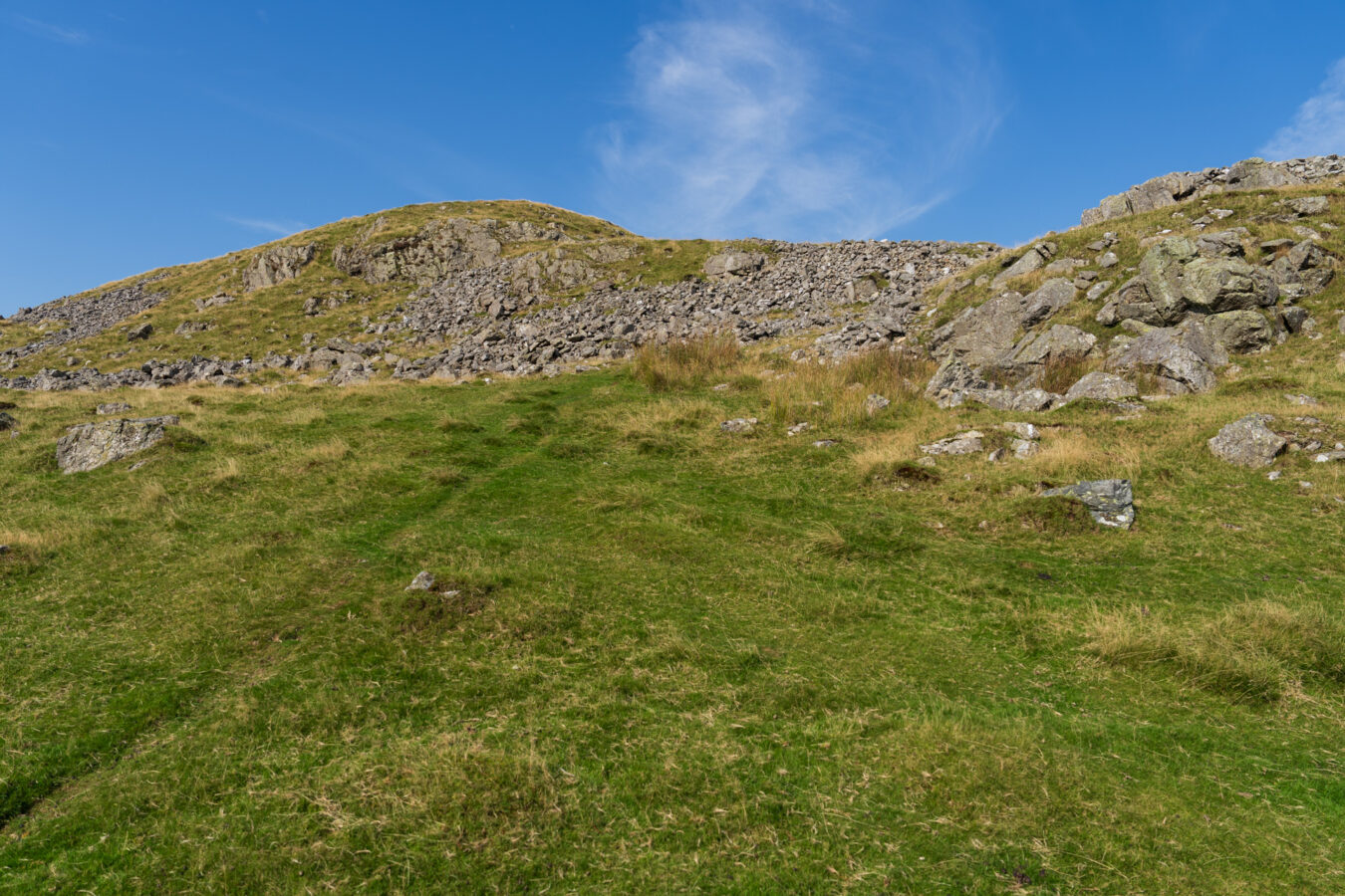
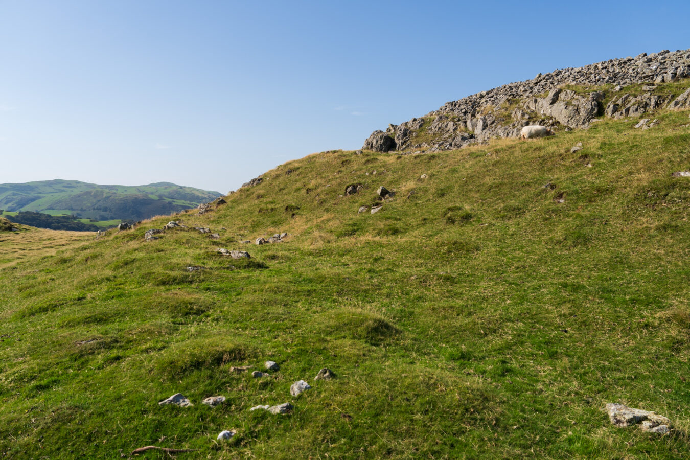
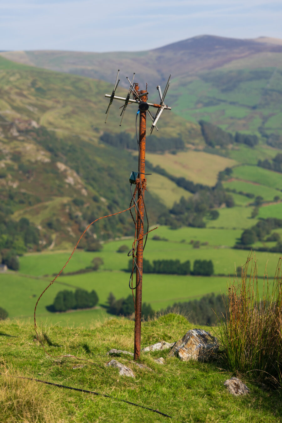
Keep going uphill, and you will pass an old, rusty antenna and encounter additional viewpoints, with the scenery becoming more dramatic as you ascend. Take extra care not to get too close to the slope.
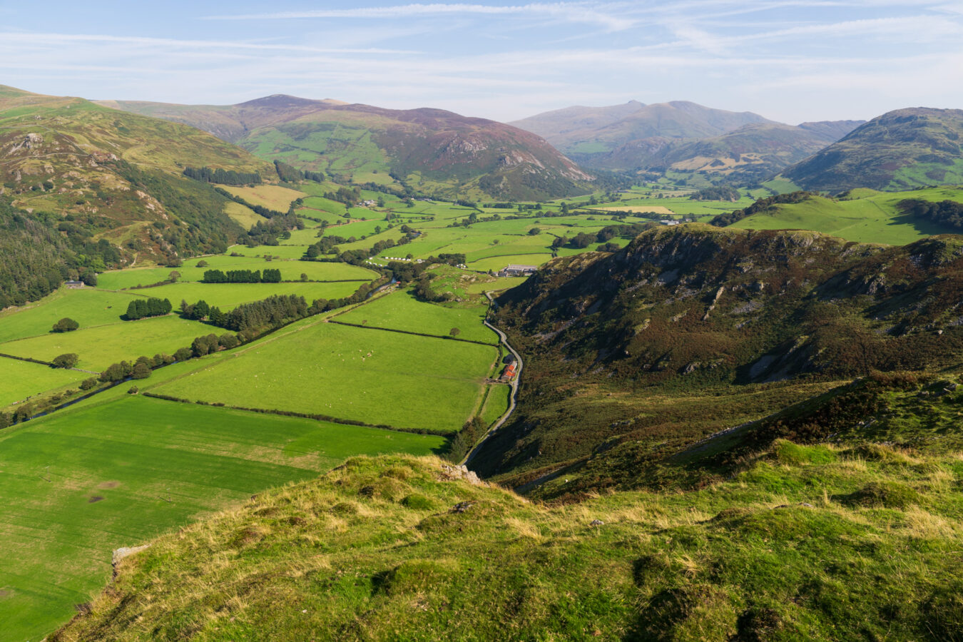
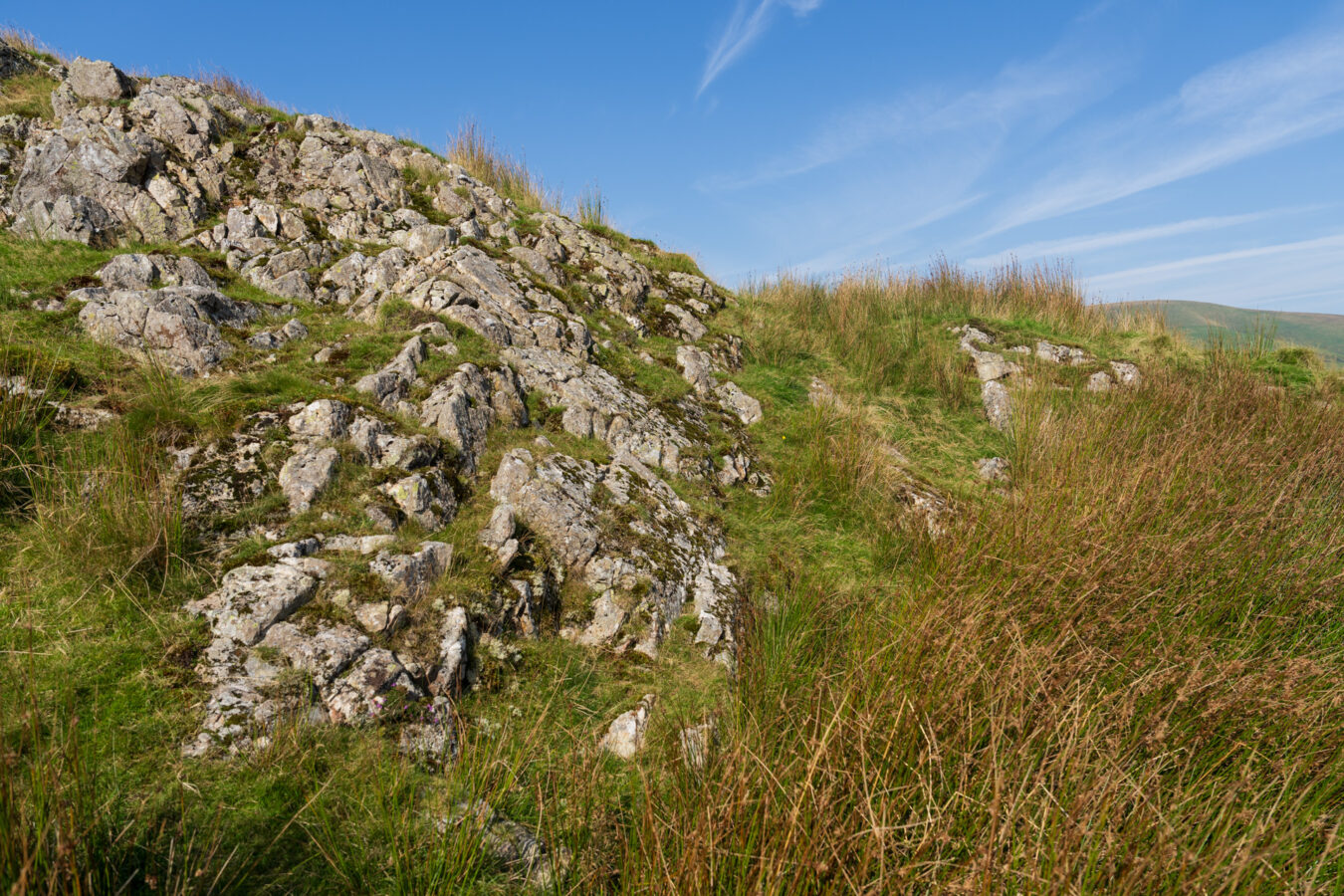
Near the top, you’ll come across a few more rocks. There are multiple routes you can take to navigate them, but exercise caution, especially if the rocks are wet.
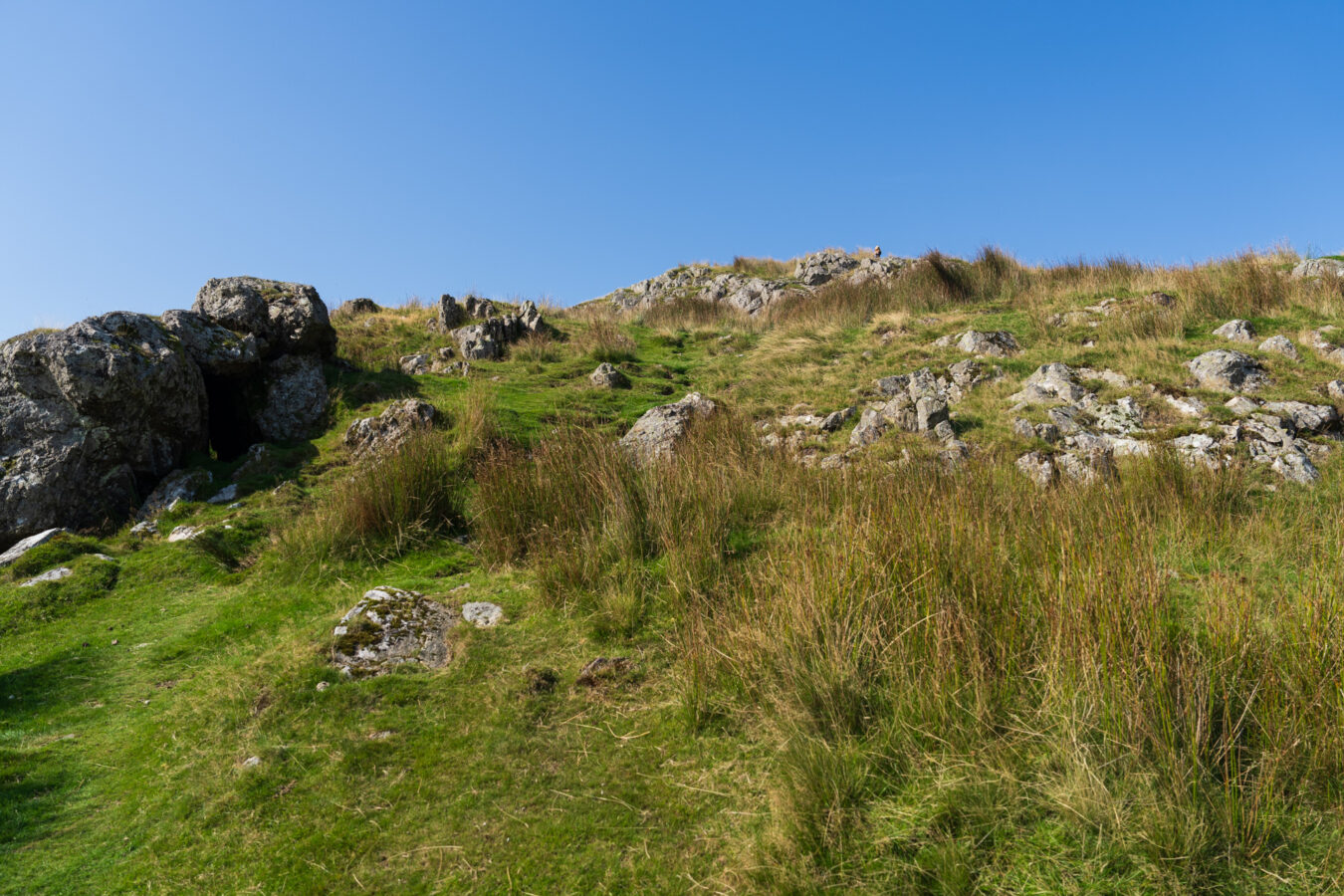
At last, the breathtaking view of the valley and the sea will open up before you. Congratulations—you’ve reached the summit!
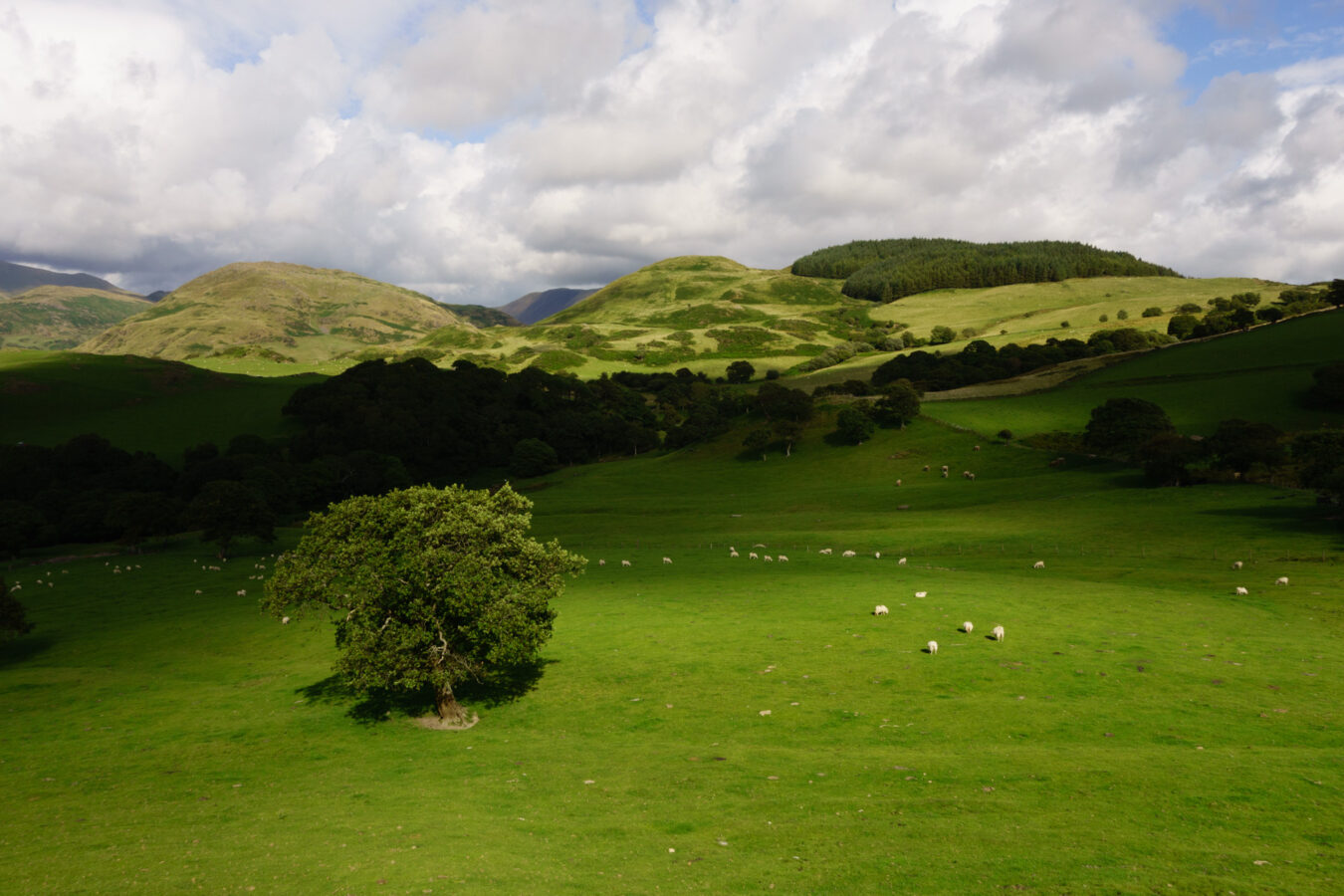
Being a short hike, this is also an easy one to plan for at the right time of day, such as sunset. With a bit of luck, the clouds and sun will put on a fantastic display of light and shadows.
Castell Y Bere
On your way back to your car, I suggest delaying your return to the main road. Instead, turn right and continue along the country road for another five minutes by car (or about half an hour on foot) until you reach the ruins of Castell y Bere. There is a small parking area in front of the entrance, but drivers with low-clearance vehicles should take extra care, as there are many embedded rocks in the ground.
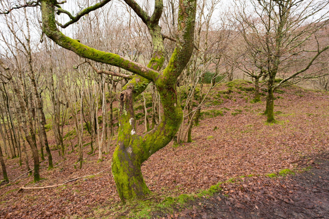
From the car park, take a short walk through a small woodland trail that leads around the jagged rocky outcrop to the entrance of the castle.
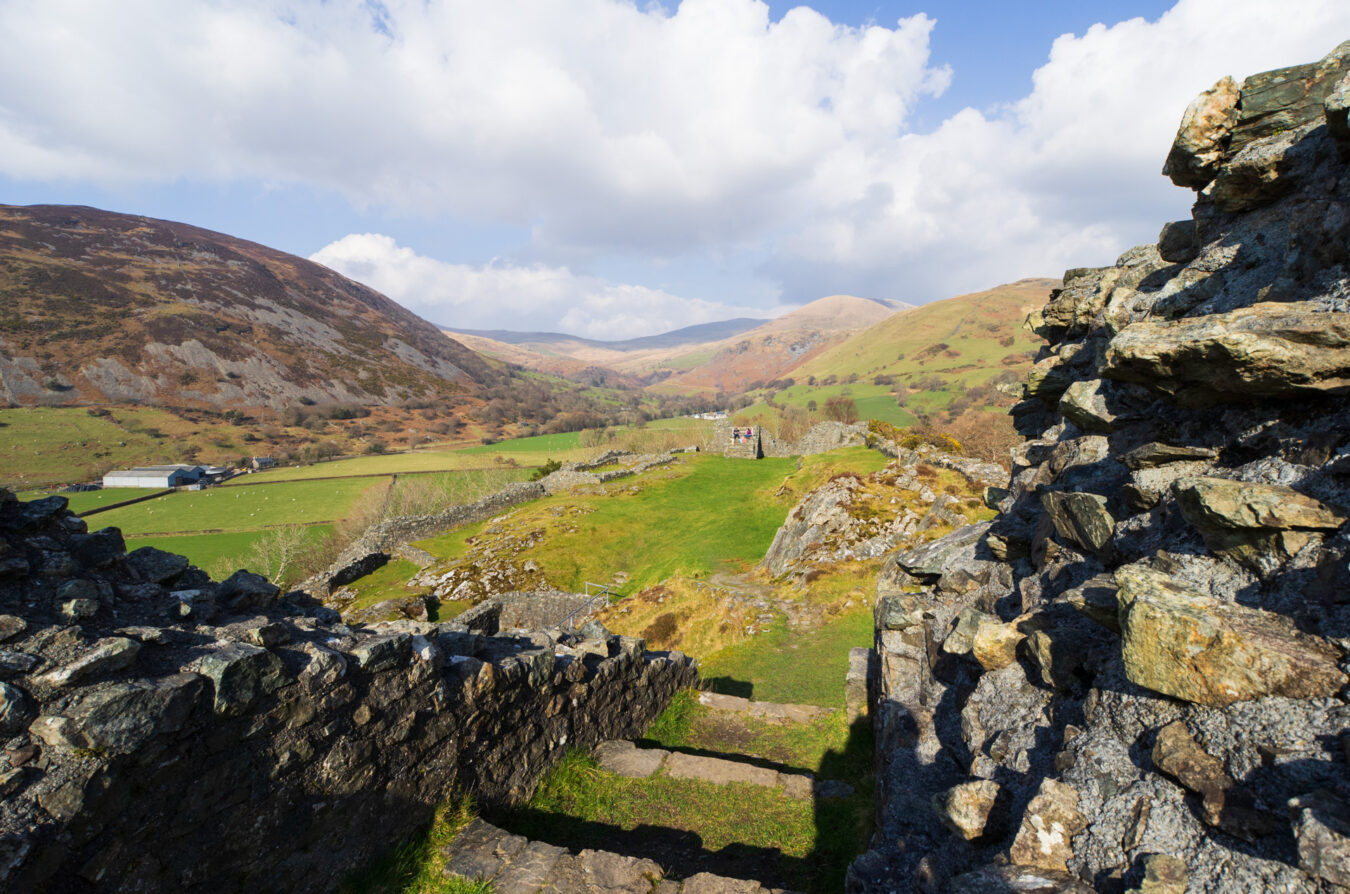
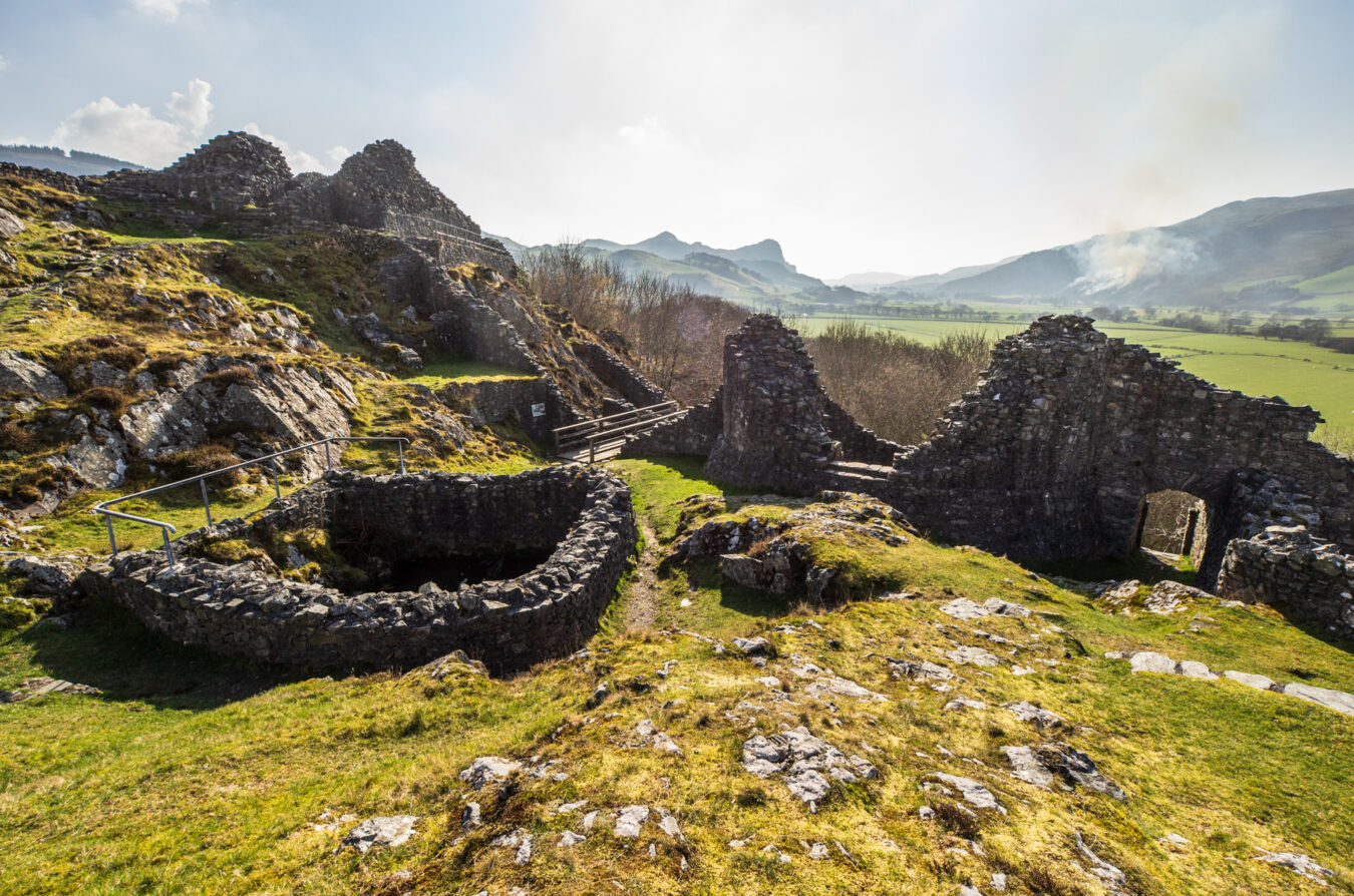
Once there, you can explore the various sections of the castle, read the informational panels, and take in the stunning views of the valley.
See Castell Y Bere on
Google Maps | Apple Maps
A BIT MORE HISTORY
- The castle was built by the Welsh ruler Llywelyn The Great to protect Gwynedd’s southern frontier. Construction began in 1221, and the castle remained operational for 73 years.
- The design of the castle is recognised as a testament to the ingenuity of its Welsh architects. Its sophisticated entrance, featuring two gatehouses with drawbridges and possibly portcullises, was considered highly advanced for its time.
- You can find more information about the castle on the Cadw website.

