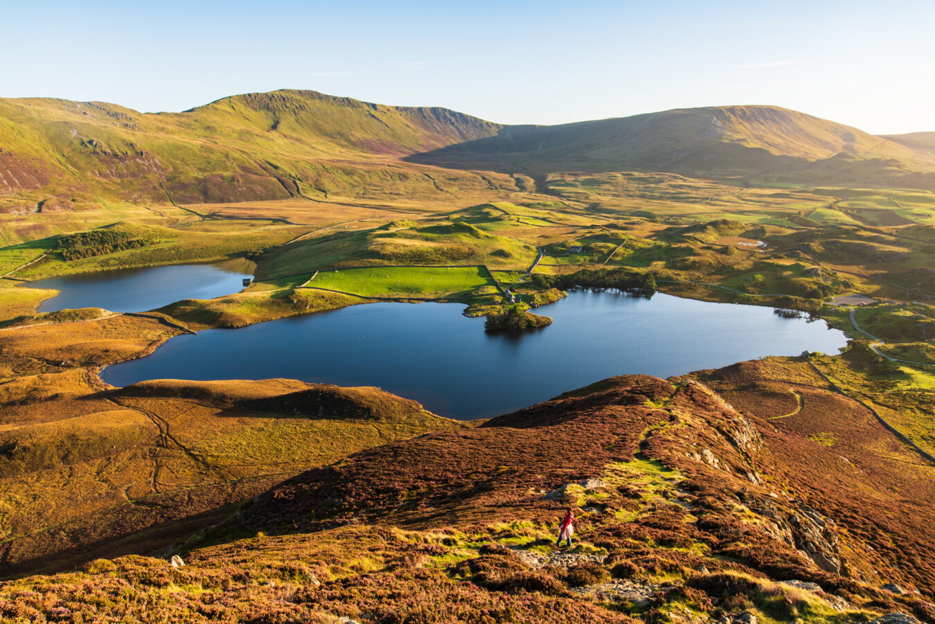
The walk featured in this article holds a special place in my heart, not only because the route goes through one of my favourite locations in the whole of Wales – the Cregennan Lakes – but also because it was the first serious walk I did after months of health issues and recovery time. Being able to walk 10 miles again, going up and down hills over a variety of terrain without struggling, has reinvigorated me and reminded me why walking outdoors in natural environments is my favourite activity in the country.
But aside from my personal experience, this is a long yet rewarding walk you can do in Mid Wales, at the southern end of the Eryri National Park. I like it because it takes you through such a variety of landscapes and trails – from enchanting woodland complete with cascading waterfalls, to magical lakes surrounded by mountains, and a peaceful river that meets the sea: this walk has it all!
If this is the kind of hike you’re looking for, this article will tell you everything you need to know, including a step-by-step guide with pictures. And remember, if you are subscribed to our newsletter, you can download a mobile-friendly PDF version to take with you on your adventure.
IN A NUTSHELL
Arthog – Cregennan Lakes – Mawddach River Circular Walk
How long is it? The hike is about 10 miles long and will take between four and five hours, depending on your pace and any optional detours you decide to take.
How easy is it? There is a steep ascent through the Arthog woodland at the beginning, and the usual muddy sections here and there, but otherwise most of the walk is of a moderate level.
Can I bring my children? There is nothing too challenging for children, but it is a long walk. As always, you know your kids best and what they can manage.
Accessibility: Many sections of the route are narrow, steep, or on uneven terrain, and are therefore unsuitable for people with mobility issues. That said, some locations along the walk can be accessed by car, such as the Cregennan Lakes. The Mawddach Trail is flat and suitable for wheelchairs, and can be reached easily from the car park at the beginning of the route.
Where can I park? There is a small car park in Arthog where the walk begins. Alternatively, you could start from Morfa Mawddach (adding an extra two miles there and back), or from the Cregennan Lakes, where a larger car park is managed by the National Trust.
Can I get there by public transport? Yes. The G21 bus (Machynlleth to Dolgellau) stops near the Arthog Waterfall, where the main hike begins (you’ll only miss the initial five-minute walk from the car park).
Are there any amenities nearby? There are none at the starting point in Arthog. Public toilets are available at the Cregennan Lakes, and if you start from Morfa Mawddach (see details further down), there are toilets there as well.
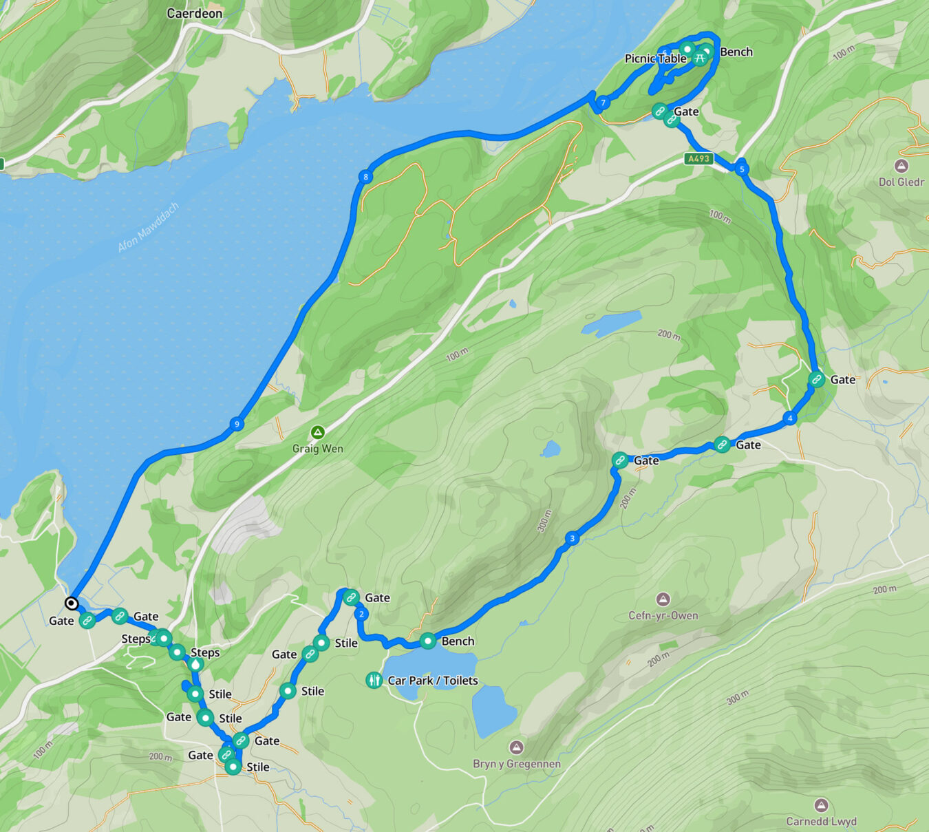
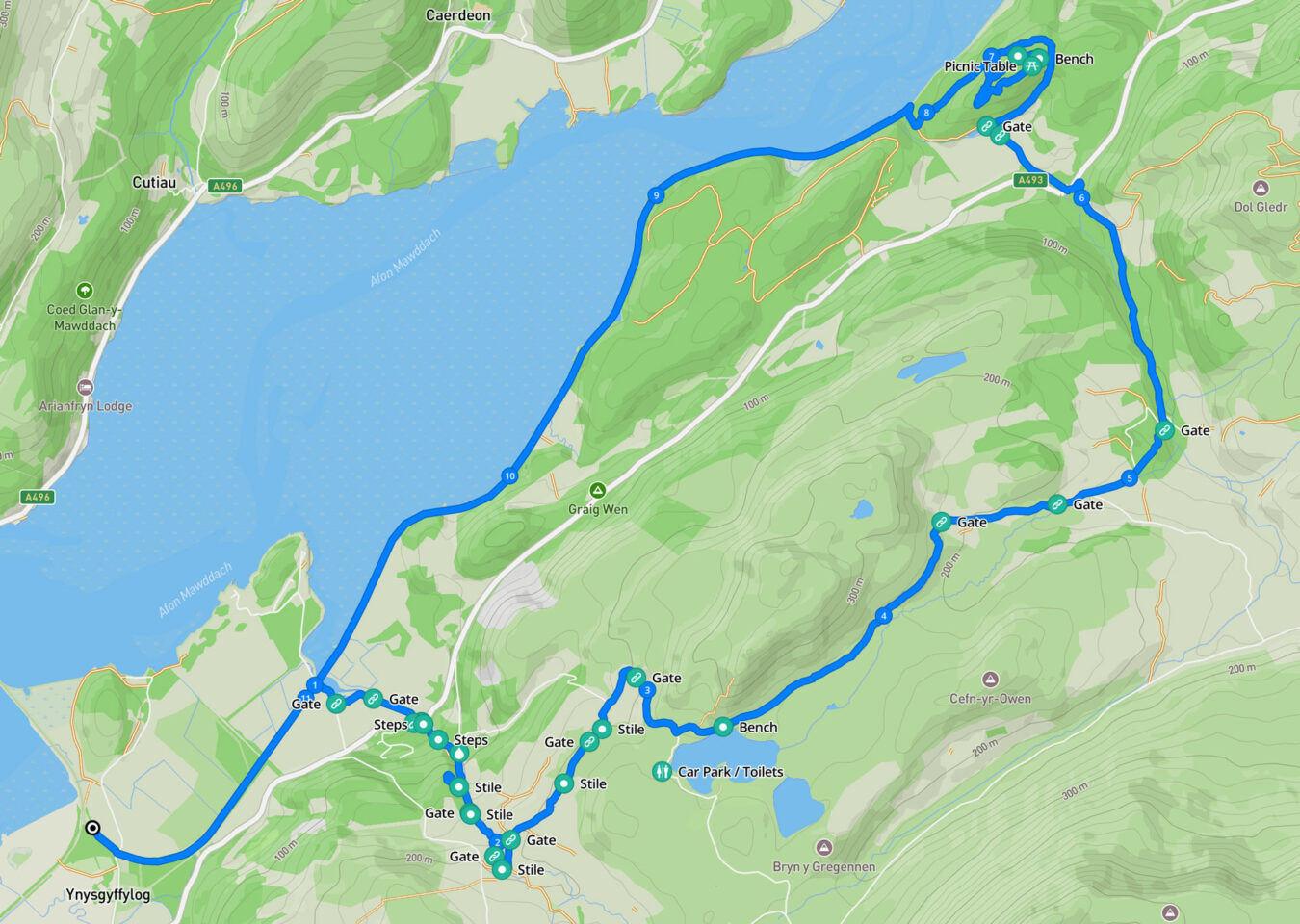
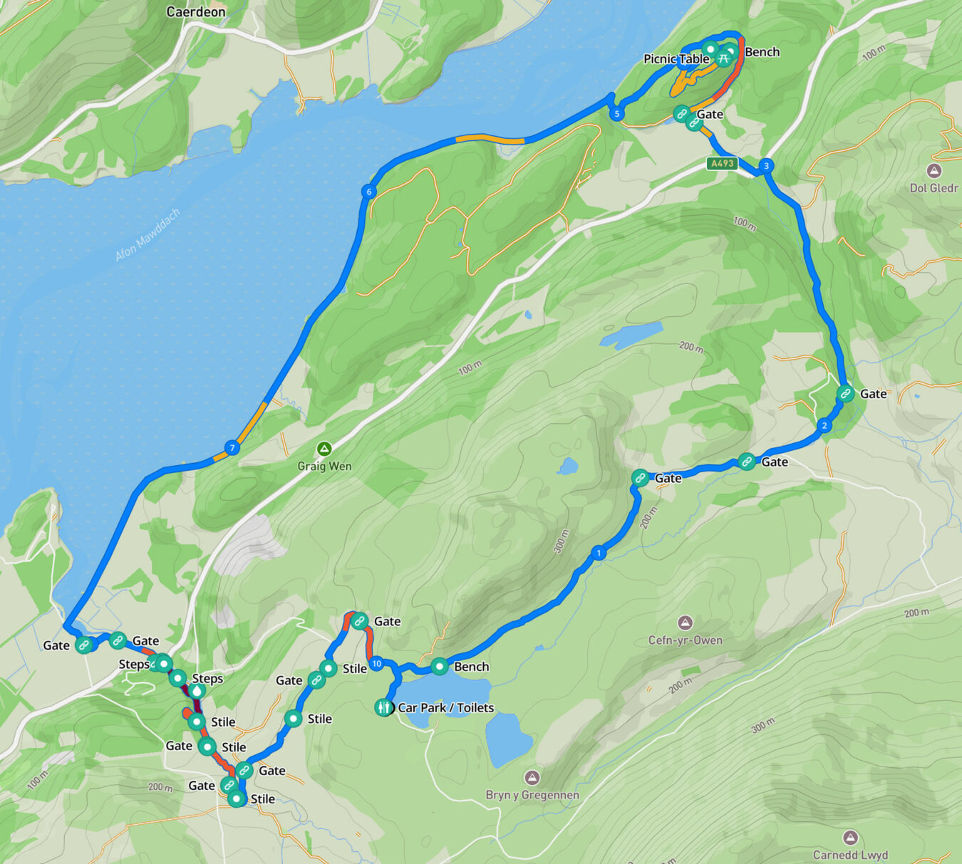
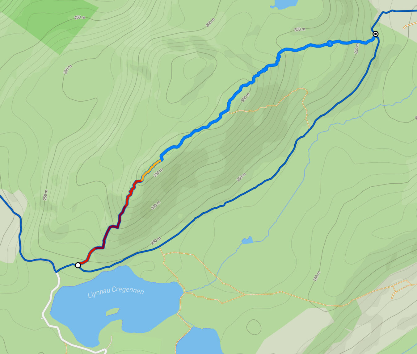
Arthog – Cregennan Lakes – Mawddach River Circular Route and Map
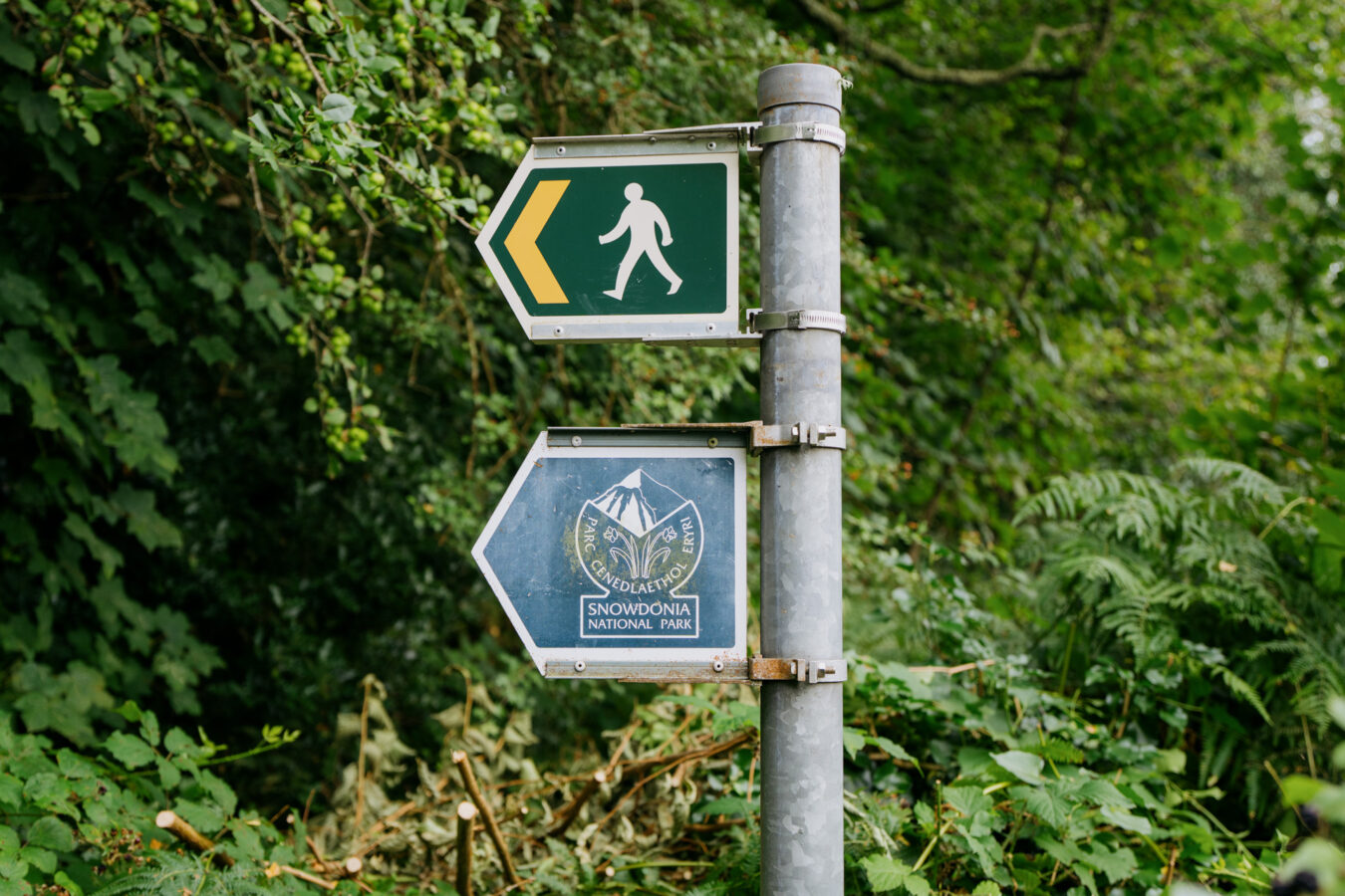
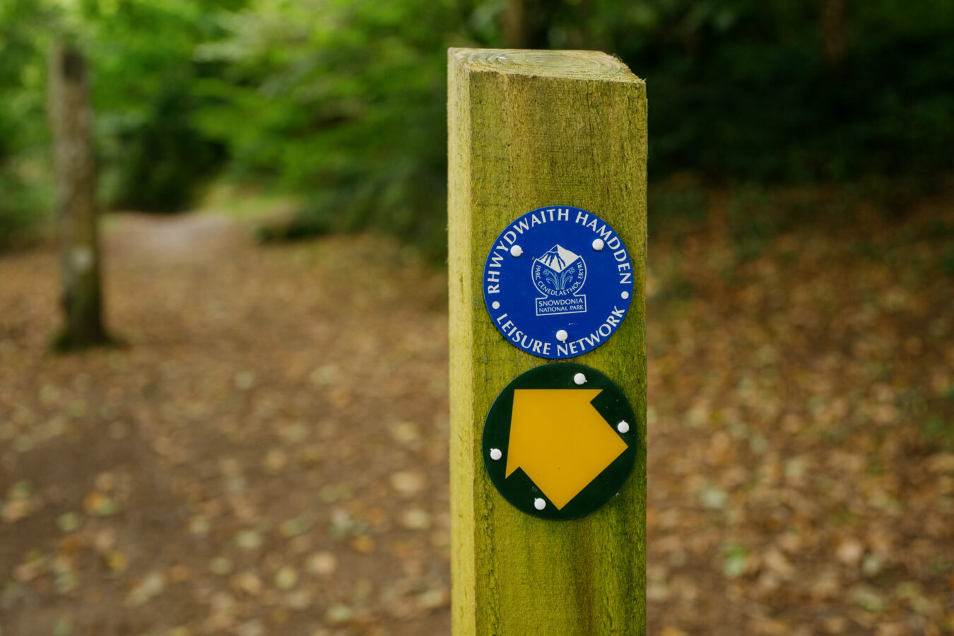
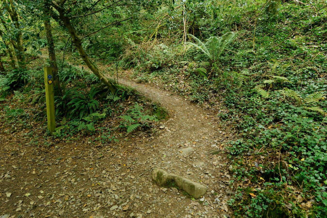
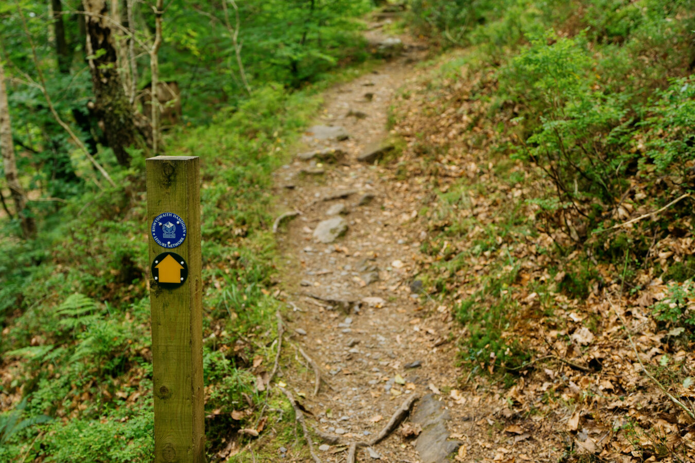
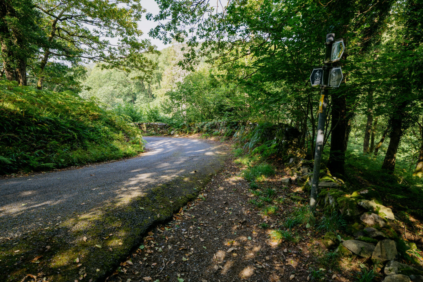
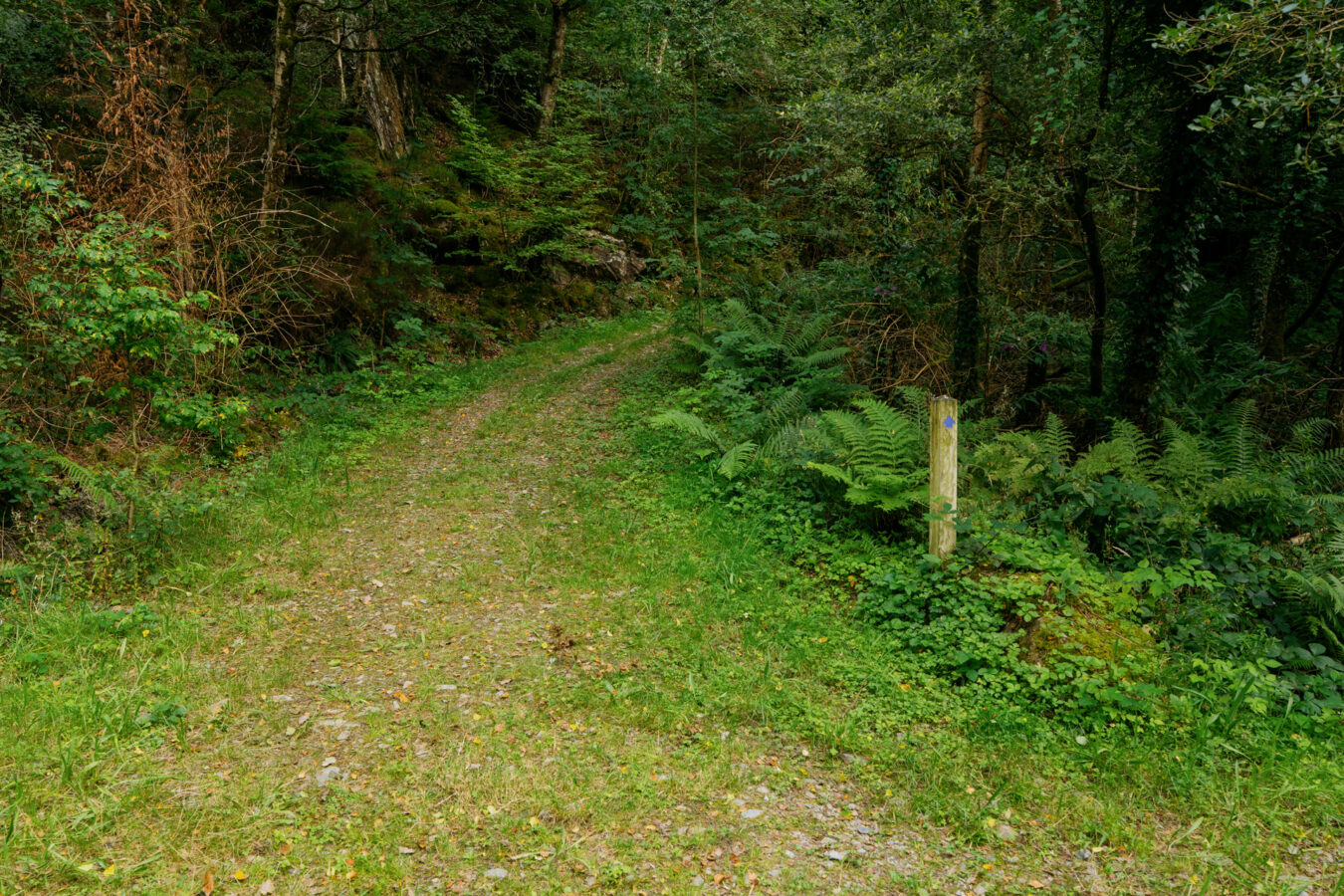
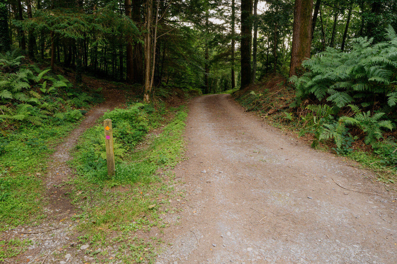
The path is waymarked throughout, although more clearly in some places than others. You’ll see different signs depending on where you are, such as the Snowdonia National Park waymarks or simple footpath signs with a yellow arrow on a dark green background.
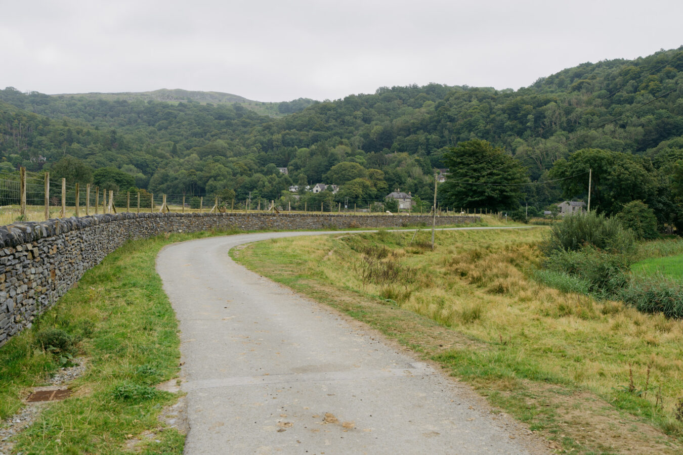
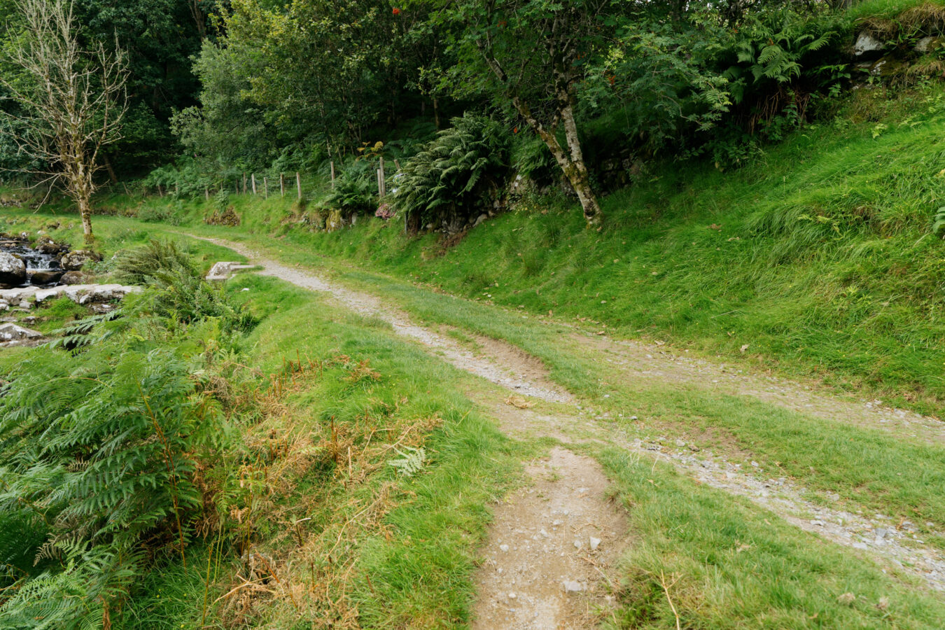
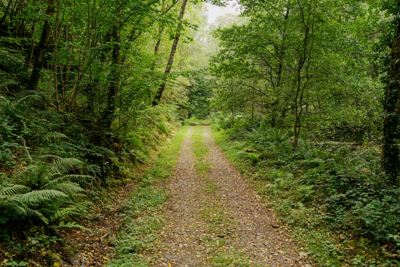
The hike begins from a small car park in Arthog, near the southern shore of the Mawddach River. From here, you cross the A-road and enter the woodland, where you soon come across the Arthog Waterfalls — a series of cascades carving their way down the hillside.
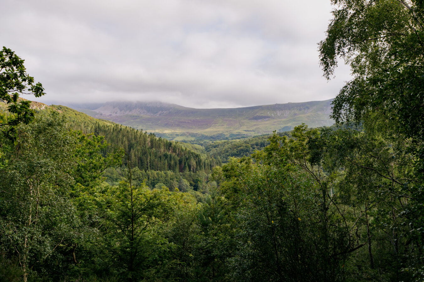
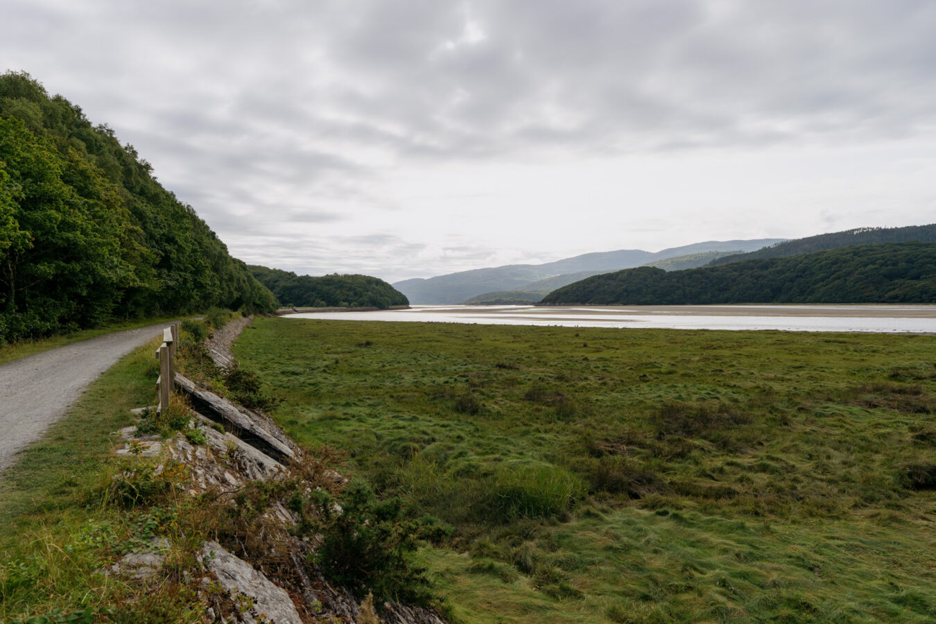
After climbing out of the woods, you reach open ground and make your way towards the Cregennan Lakes across a series of fields, with fine views of the Mawddach Estuary opening up below.
On reaching the lakes, you continue through another valley, following country lanes and more woods until you arrive at Abergwynant. Here, you have the option to explore another beautiful stretch of woodland before returning along the Mawddach Trail.
If parking is limited at the starting point in Arthog, you could begin the walk from Morfa Mawddach station (which adds about two miles in total), or alternatively start and finish at the Cregennan Lakes. For convenience, I’ve uploaded all three versions of the route below.
Free PDF guide!
- If you subscribe to our newsletter, you’ll get access to our exclusive members’ area, where you can download mobile-friendly PDF guides and GPX files of the three versions of this walk.
How to Get There
By Car
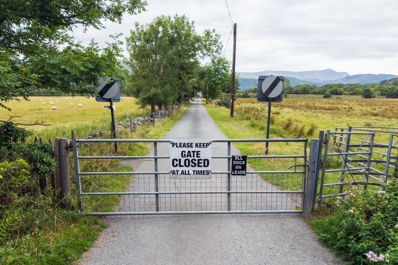
You can reach Arthog via the A493 road from either Dolgellau or Tywyn. The car park is not directly on the main road: you’ll need to go through a farm gate and drive for a further two minutes north to reach the designated parking area, which is part of the Snowdonia National Park. The farm gate is on your right immediately after the 20mph sign (if you’re coming from Dolgellau), or on your left just before the 30mph sign (if you’re coming from Tywyn). See the exact location below. Parking here is free of charge.
See Arthog car park on
what3words
It’s a small car park, so if you visit during a busy holiday period there’s a chance it may be full. Unfortunately, there are no alternative public car parks in the immediate area, but you could consider two options.
Option A: Park at Morfa Mawddach and follow the Mawddach Trail to the Arthog car park. This will add around two miles to the overall route (there and back).
See Morfa Mawddach car park on
Google Maps | Apple Maps
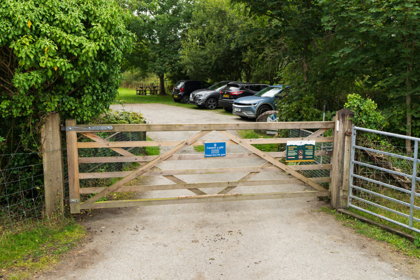
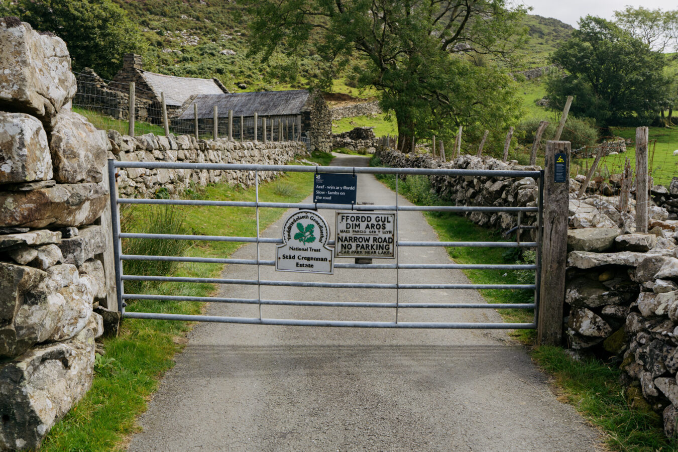
Option B: Park at the Cregennan Lakes, where there is a larger car park managed by the National Trust (£5 for the day, or free for members), and start the hike from there. Be aware that reaching the lakes involves driving along narrow country lanes. Although there are passing places, you may occasionally need to reverse to allow oncoming traffic through, depending on where you meet.
See Cregennan lakes car park on
Google Maps | Apple Maps
By Bus
The G21 bus, operated by Lloyd Coaches, runs from Dolgellau or Machynlleth (via Tywyn) and stops near the entrance to the woodland and the Arthog Waterfalls. Services usually run between 6 am and 5 pm, but it’s important to check the timetable, as times can vary on school days, during school holidays, and at weekends. As this is a long walk, make sure you’ll be able to return on the last bus.
By Train
The Cambrian Line (from Birmingham to Pwllheli) stops at Morfa Mawddach (a request stop) just before Barmouth. Starting here adds around two miles to the overall walk (there and back), but trains run later in the day than buses. Check the timetable on the Transport for Wales website.
Step by Step Guide, Part I – Arthog Waterfalls
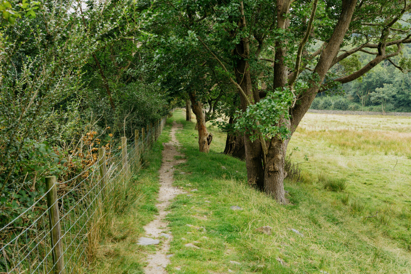
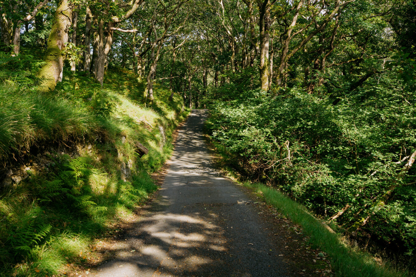
From the Arthog car park, head south towards the A493 along the same country lane you drove in on, leaving the River Mawddach behind you. After roughly 200 metres, turn left through a large wooden gate and continue along the grassy path. Pass through a small gate and follow the narrower trail beside the fence until you reach a large field. Cross the field to join the A493.
Note: If you started from Morfa Mawddach, head east along the Mawddach Trail (in the opposite direction to Barmouth Bridge) for about a mile. You will then reach the Arthog car park. Turn right and follow the steps described above.
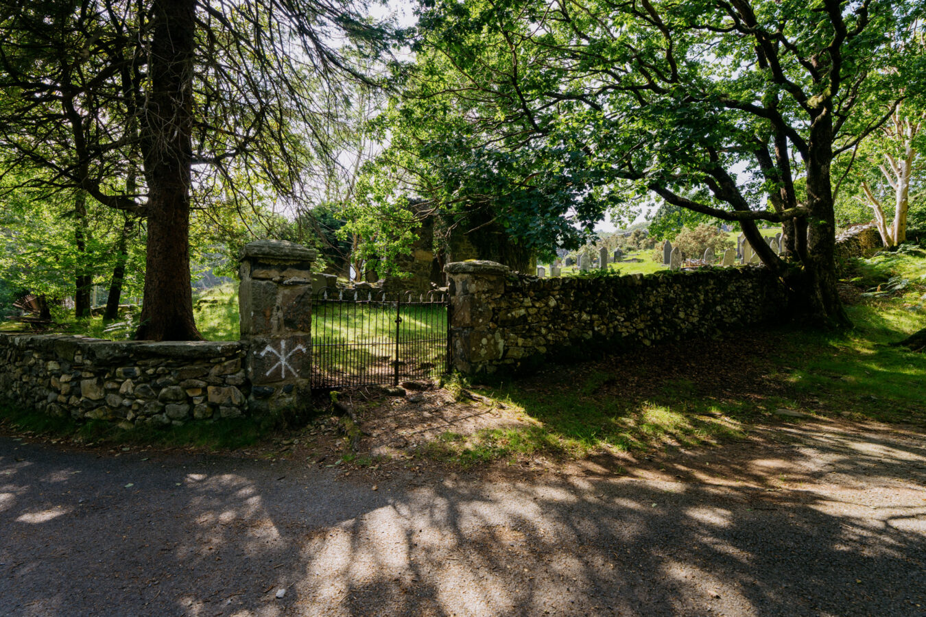
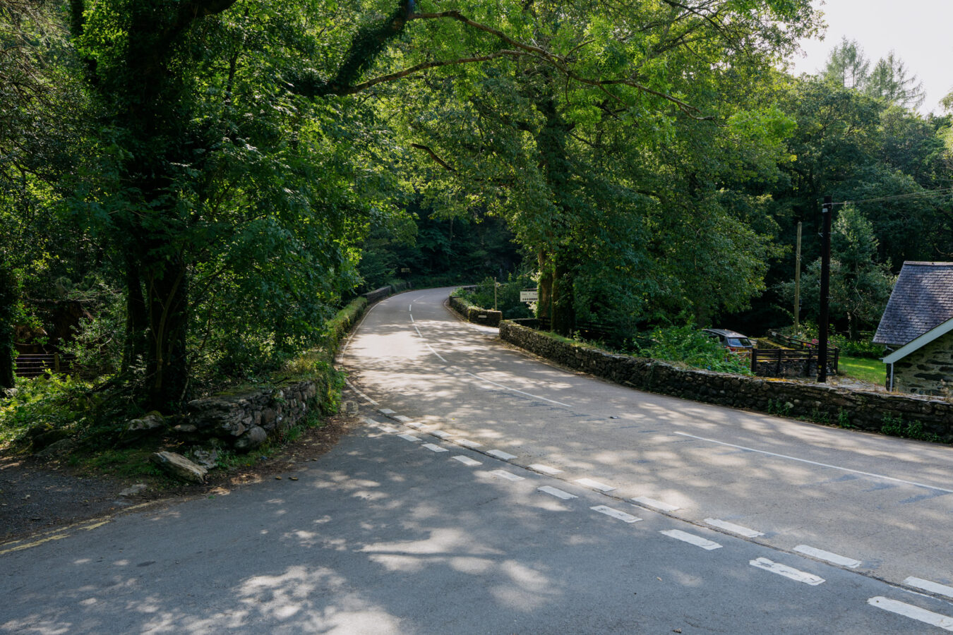
Cross the gate and turn left, walking along the A493 for a short distance. Take care, as cars and buses pass frequently. Just before St Catherine’s Church, you’ll see a small, old gate on your right, with several footpath signs, including one from the Snowdonia National Park. This is where the hike truly begins — take care when crossing the road.
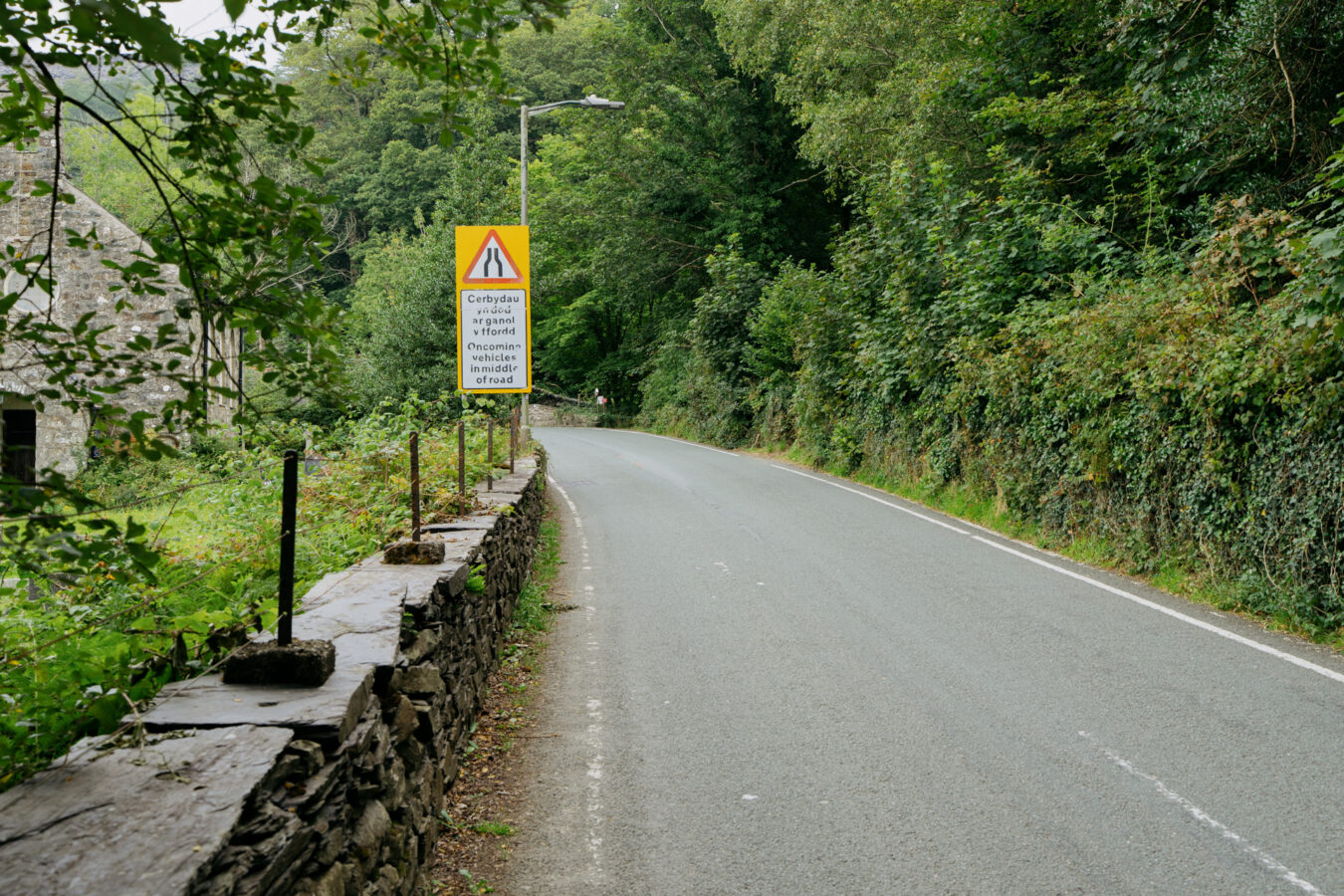
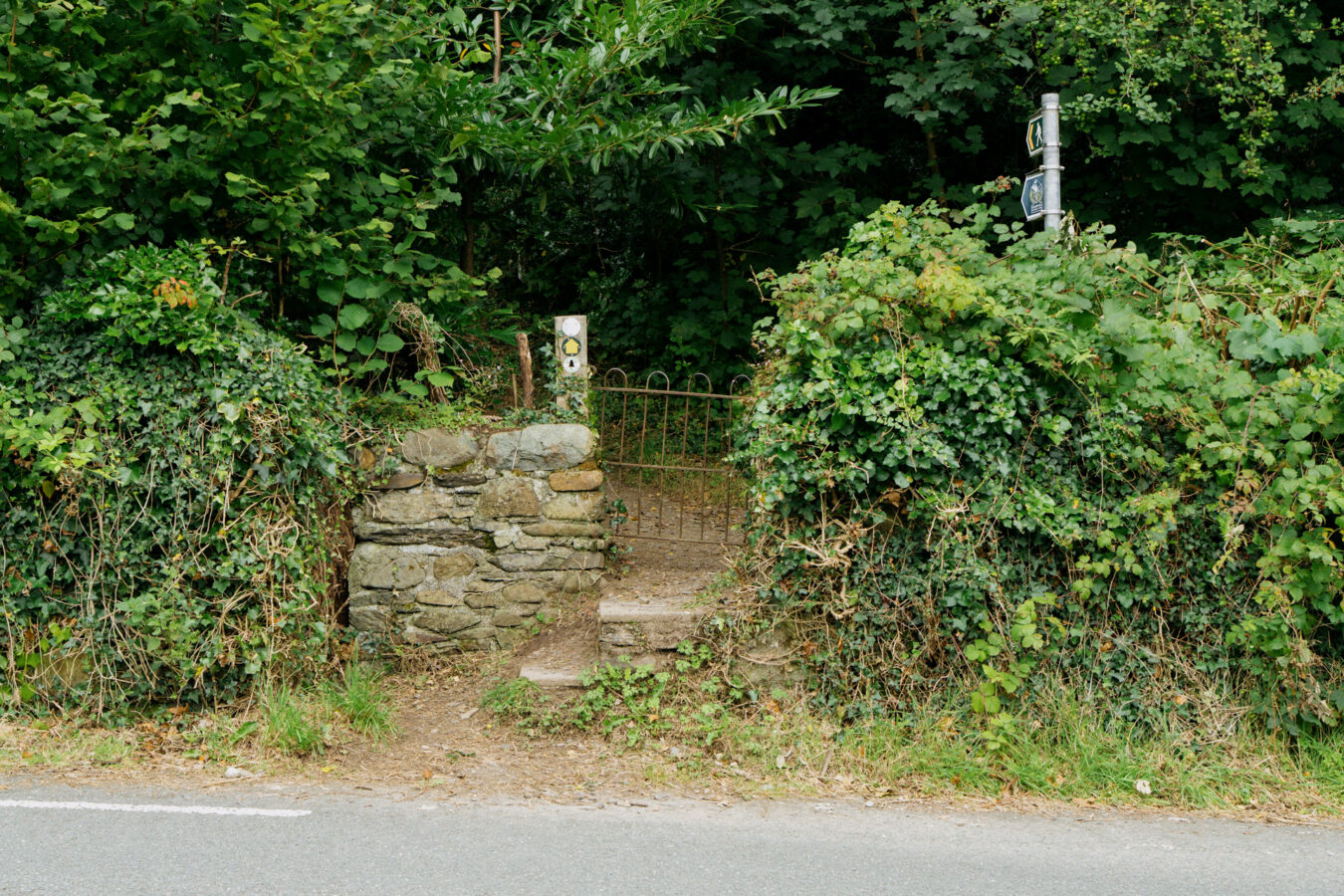
Note: If you arrived on the G21 bus, this is your starting point.
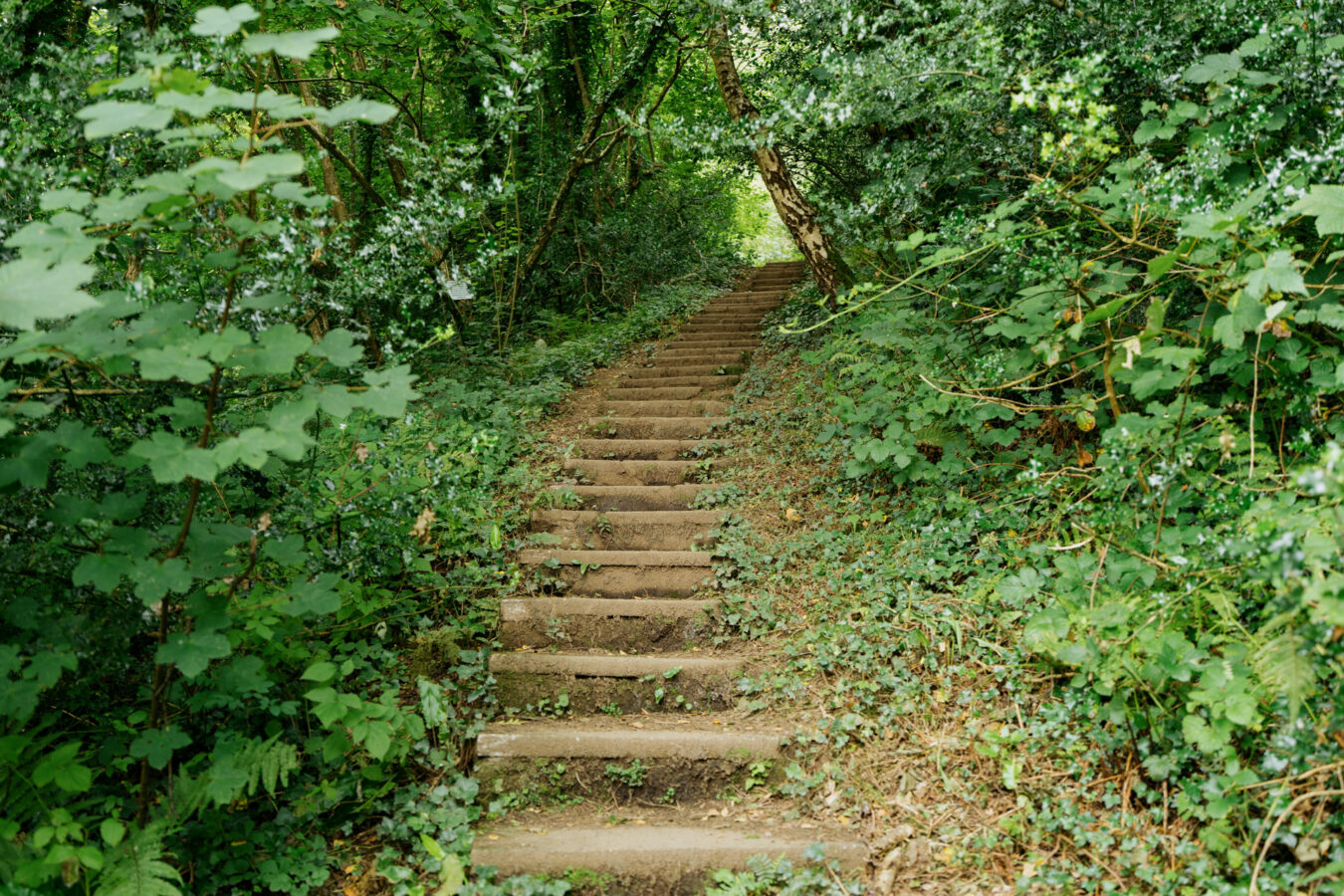
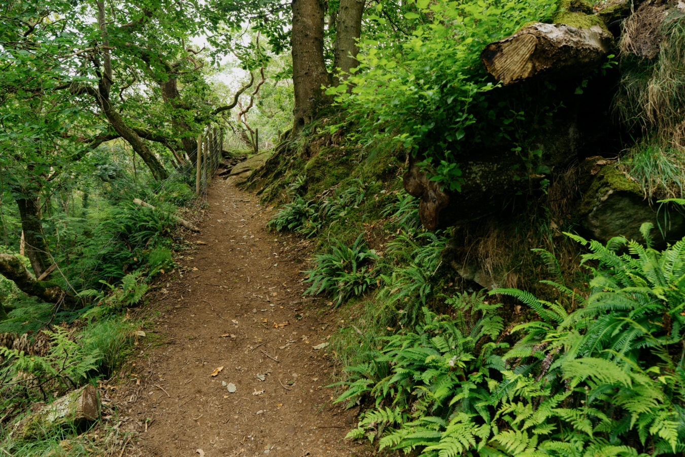
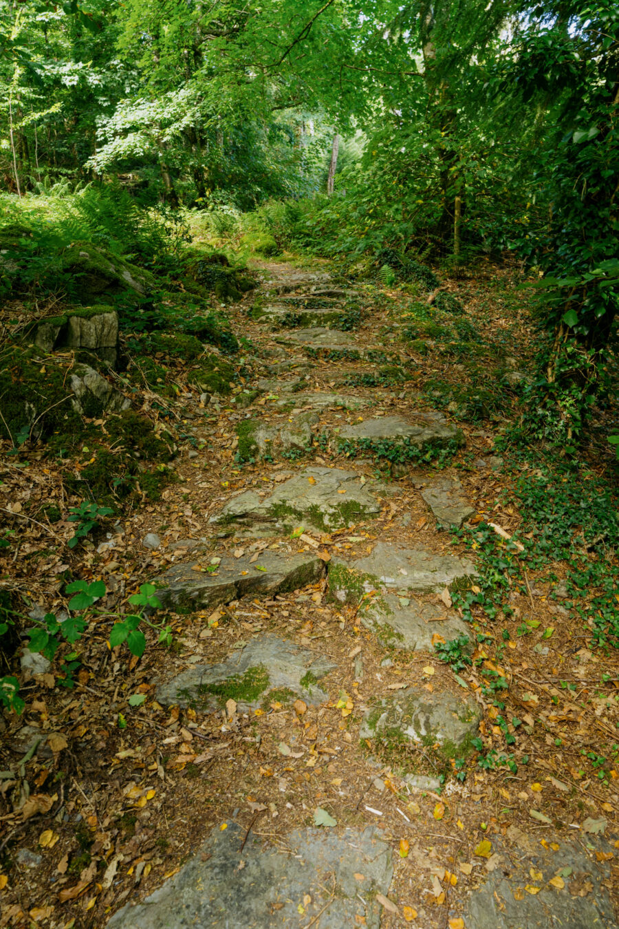
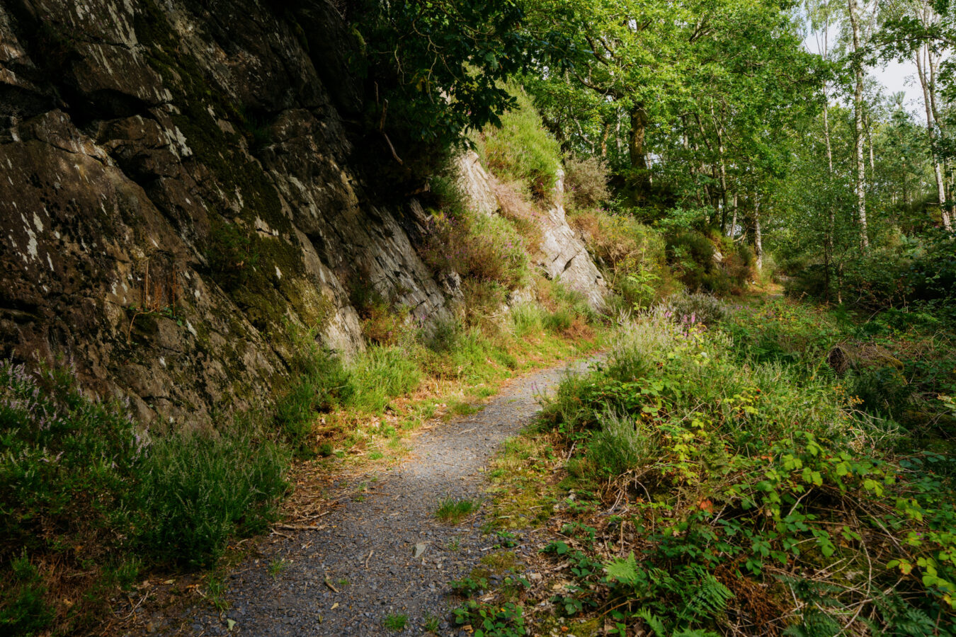
Climb the steps and rocky trail as you enter the woodland. You’ll soon meet a larger track; turn left, following the yellow arrow sign, and pass between two old gate pillars.
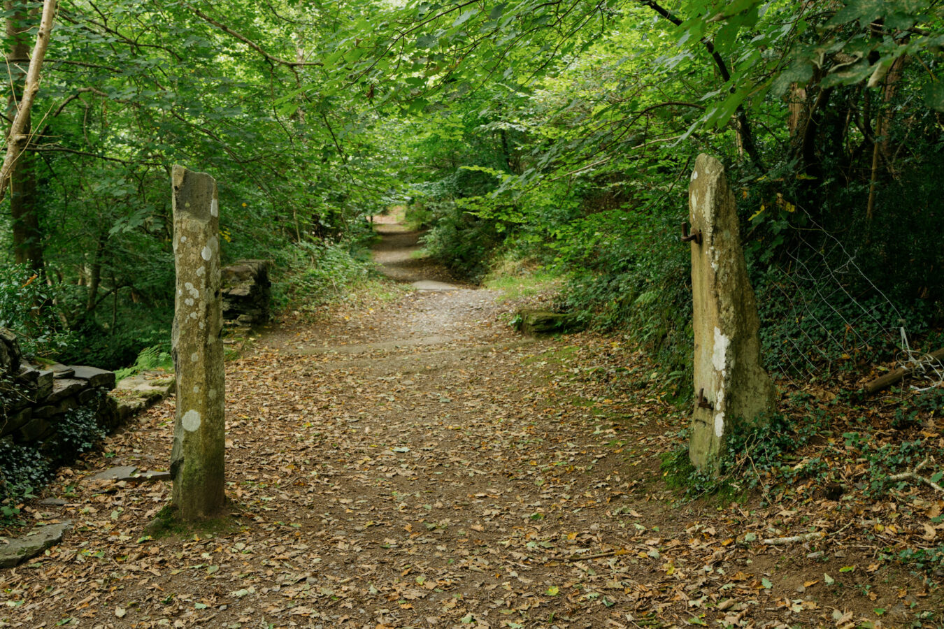
A little further on, a smaller trail branches uphill to the right. This is the continuation of the walk, but before taking it, carry straight on to admire some of the nearby cascades.
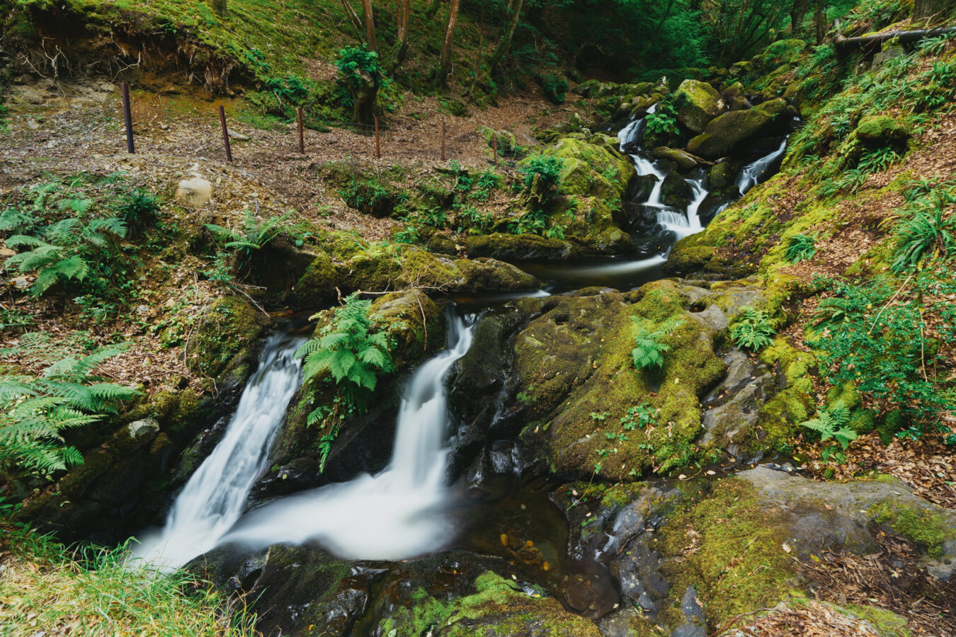
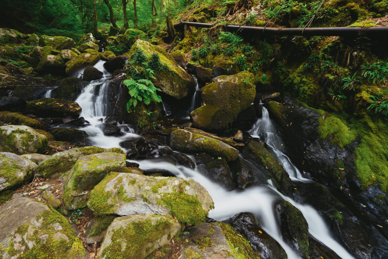
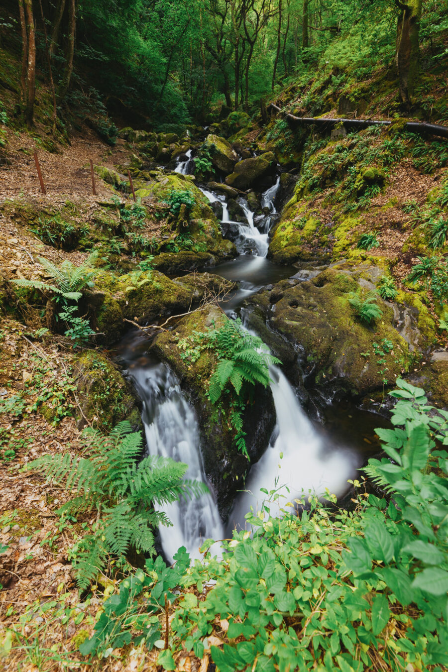
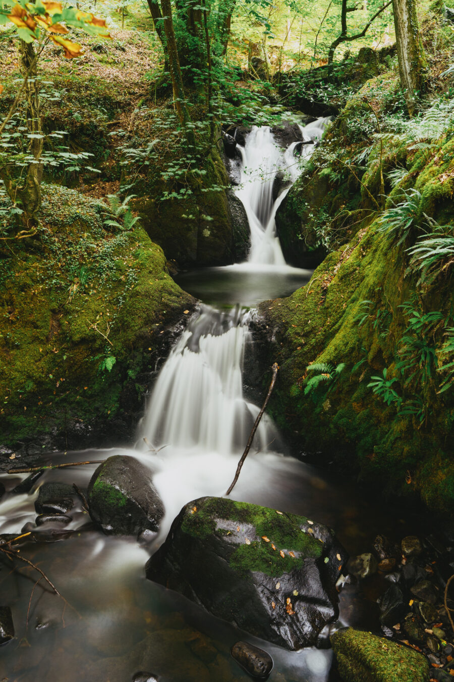
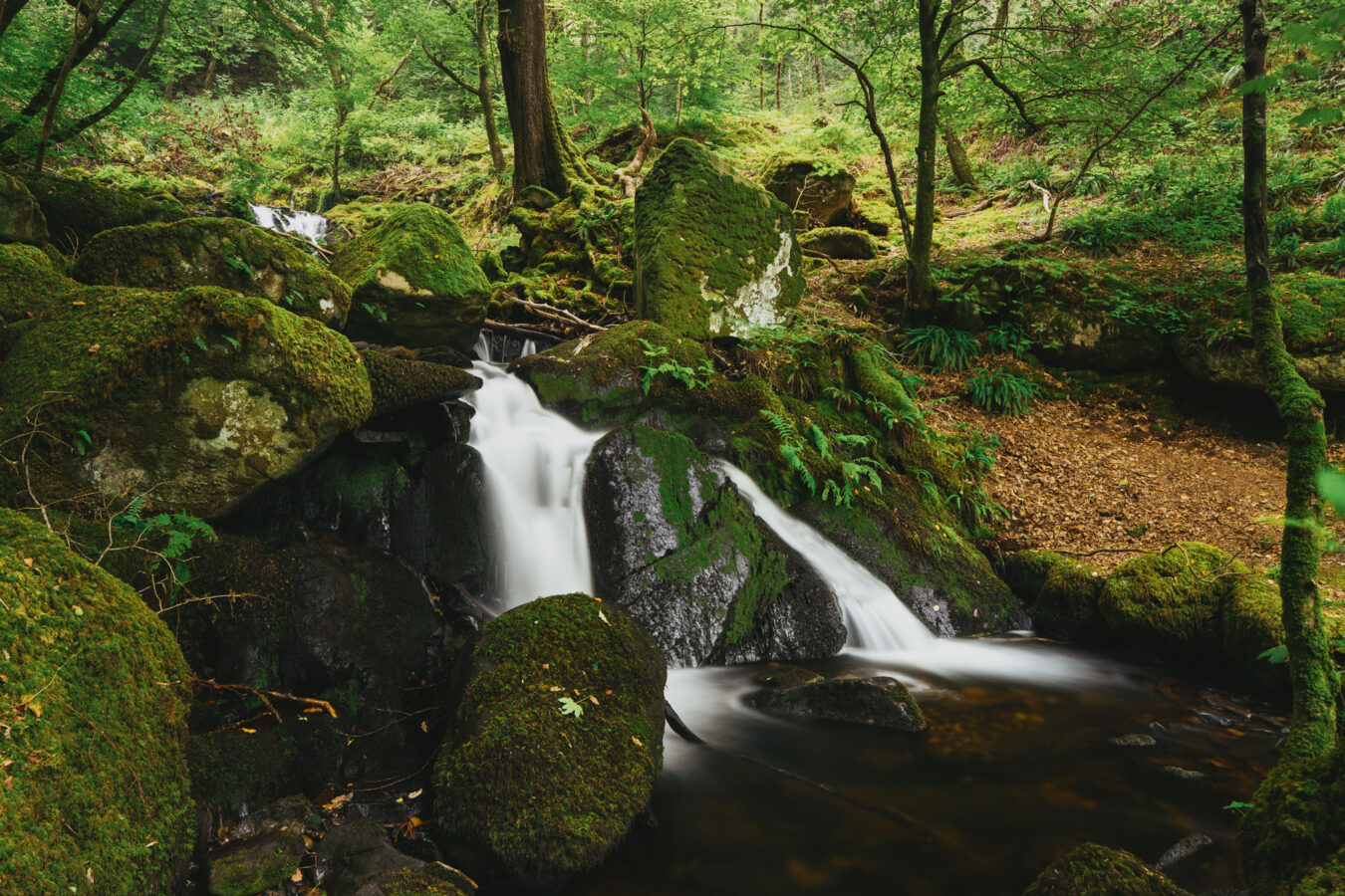
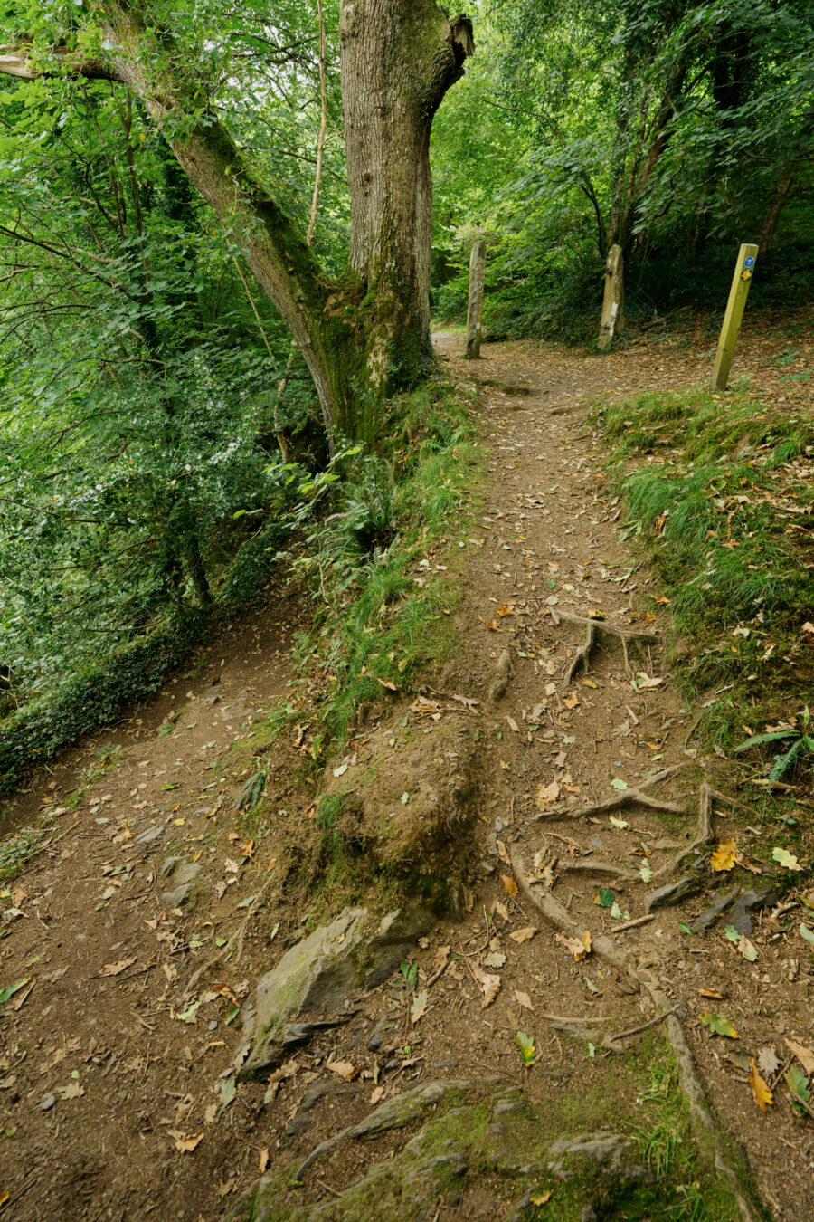
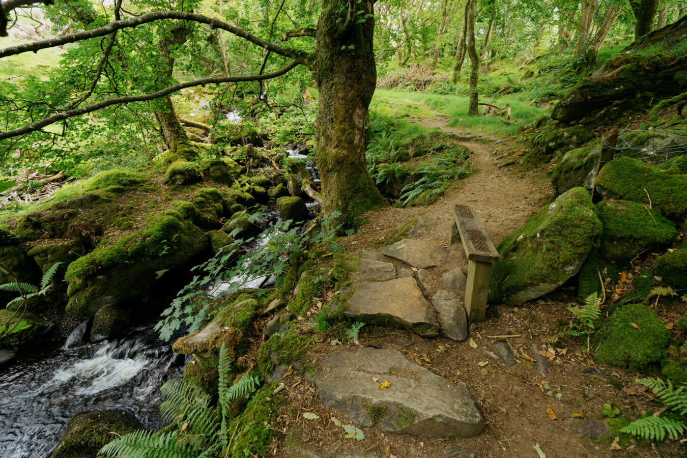
After admiring the waterfalls and taking some pictures, retrace your steps a few metres and take the uphill trail you saw earlier. The path climbs beside the stream, with more cascades to enjoy along the way.
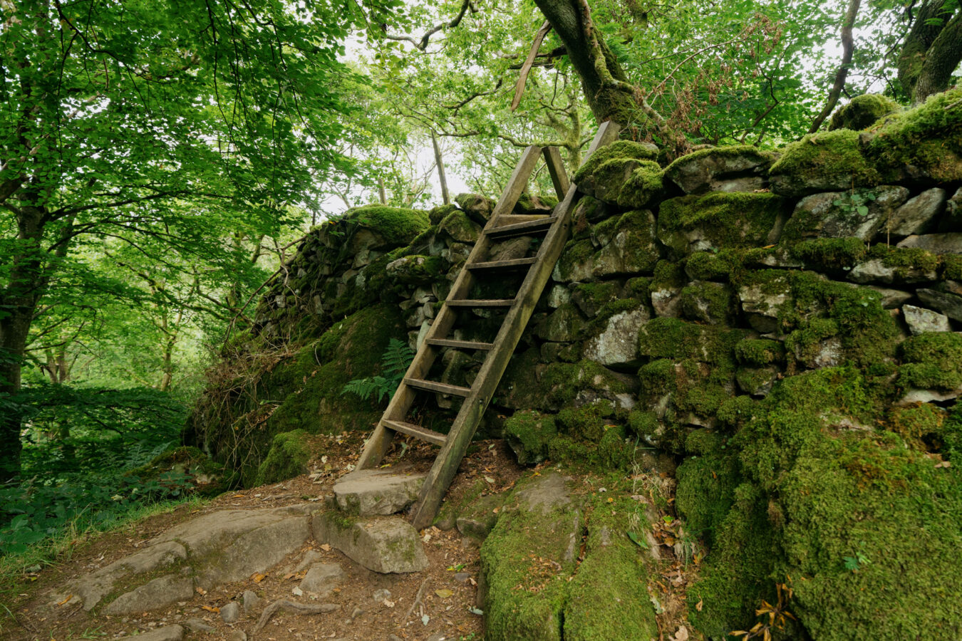
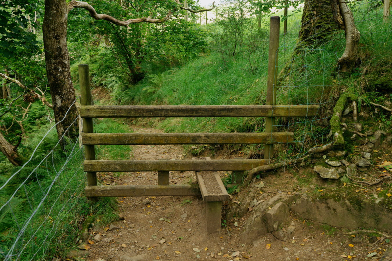
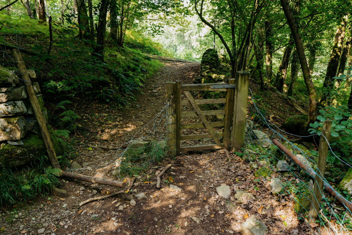
After about half a mile, cross a stile and continue uphill, passing through another gate and then another stile. Follow the woodland path alongside the stream, where you’ll find several pools — a tempting spot where I saw visitors enjoying a refreshing dip on warm summer days.
Step by Step Guide, Part II – Farmland
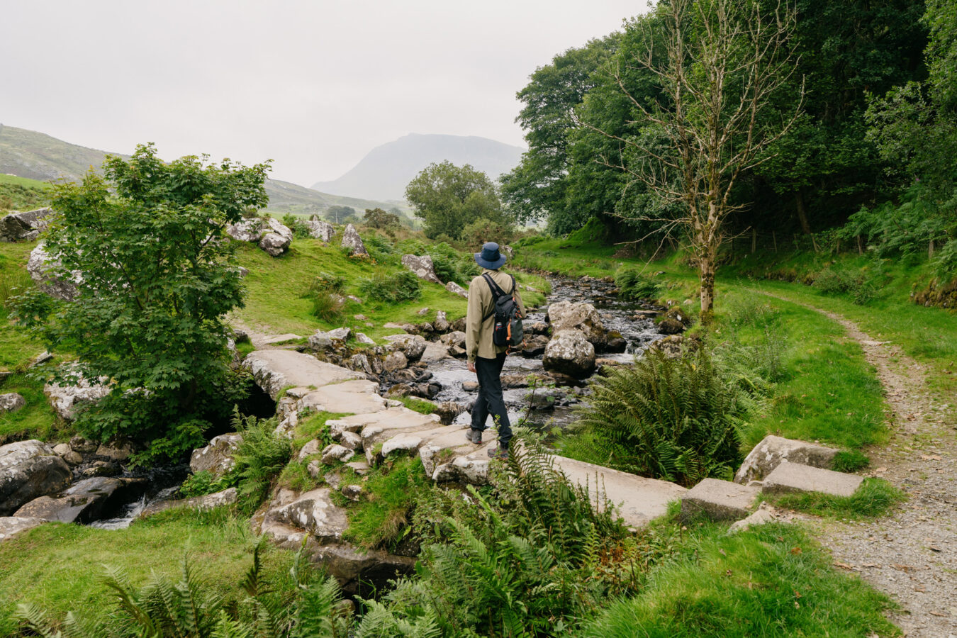
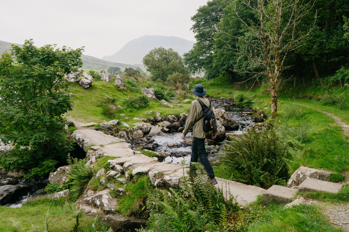
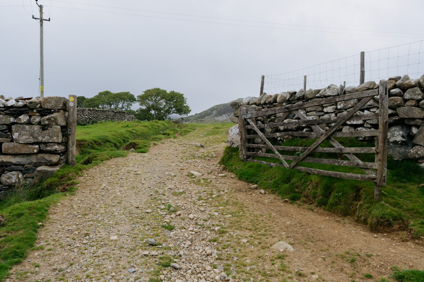
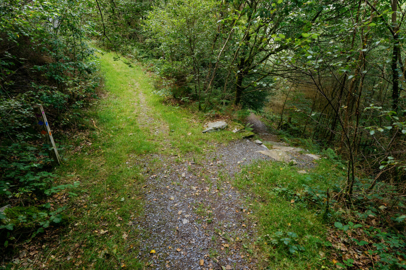
After passing through another gate and over a ladder stile, you emerge onto a farm track, leaving the woodland behind. Then turn left to cross a small stone footbridge. This is a lovely spot for a picnic, with large rocks that make ideal seats for a rest.
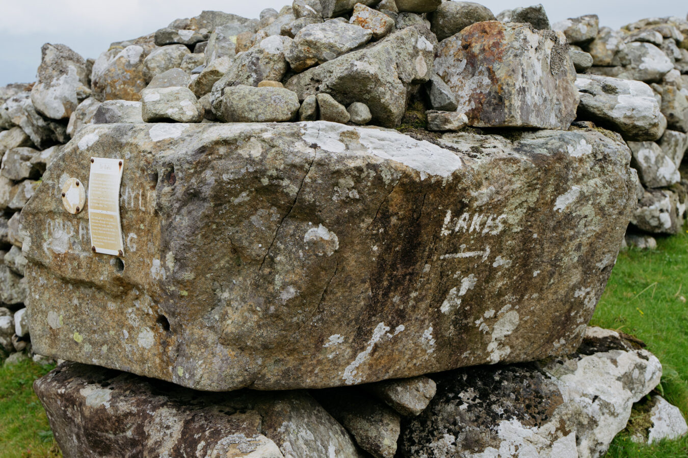
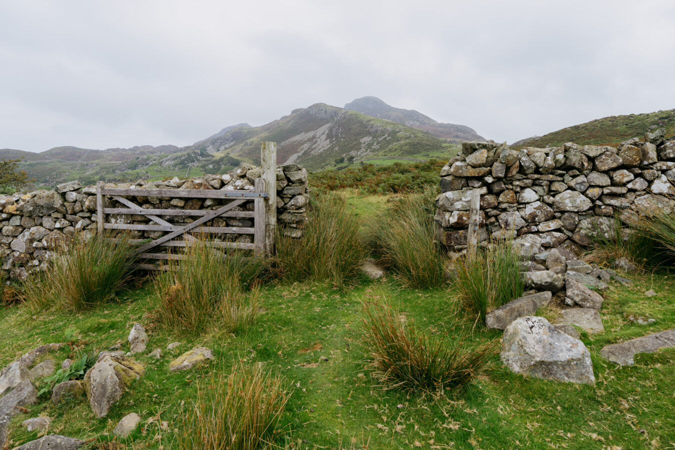
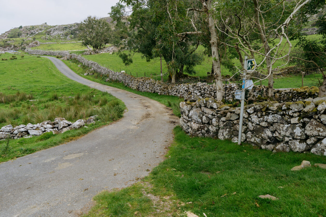
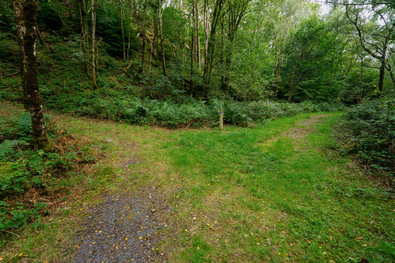
With the stone bridge behind you, bear left to join another farm track and follow it. Soon after, pass through a large farm gate and continue straight on. You’ll notice a small arrow and the word ‘lakes’ painted on the wall to your left, reassuring you that you’re heading in the right direction.
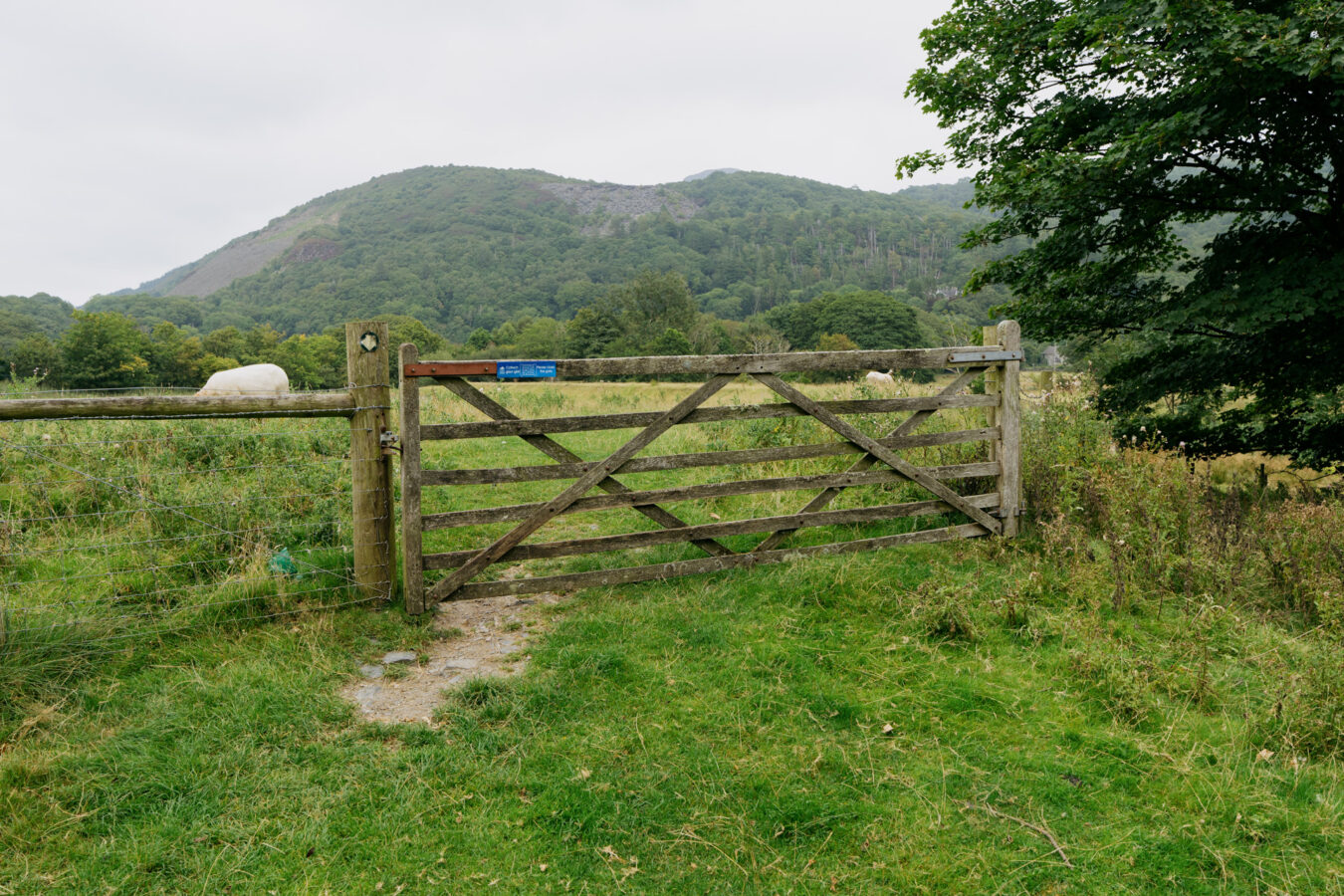
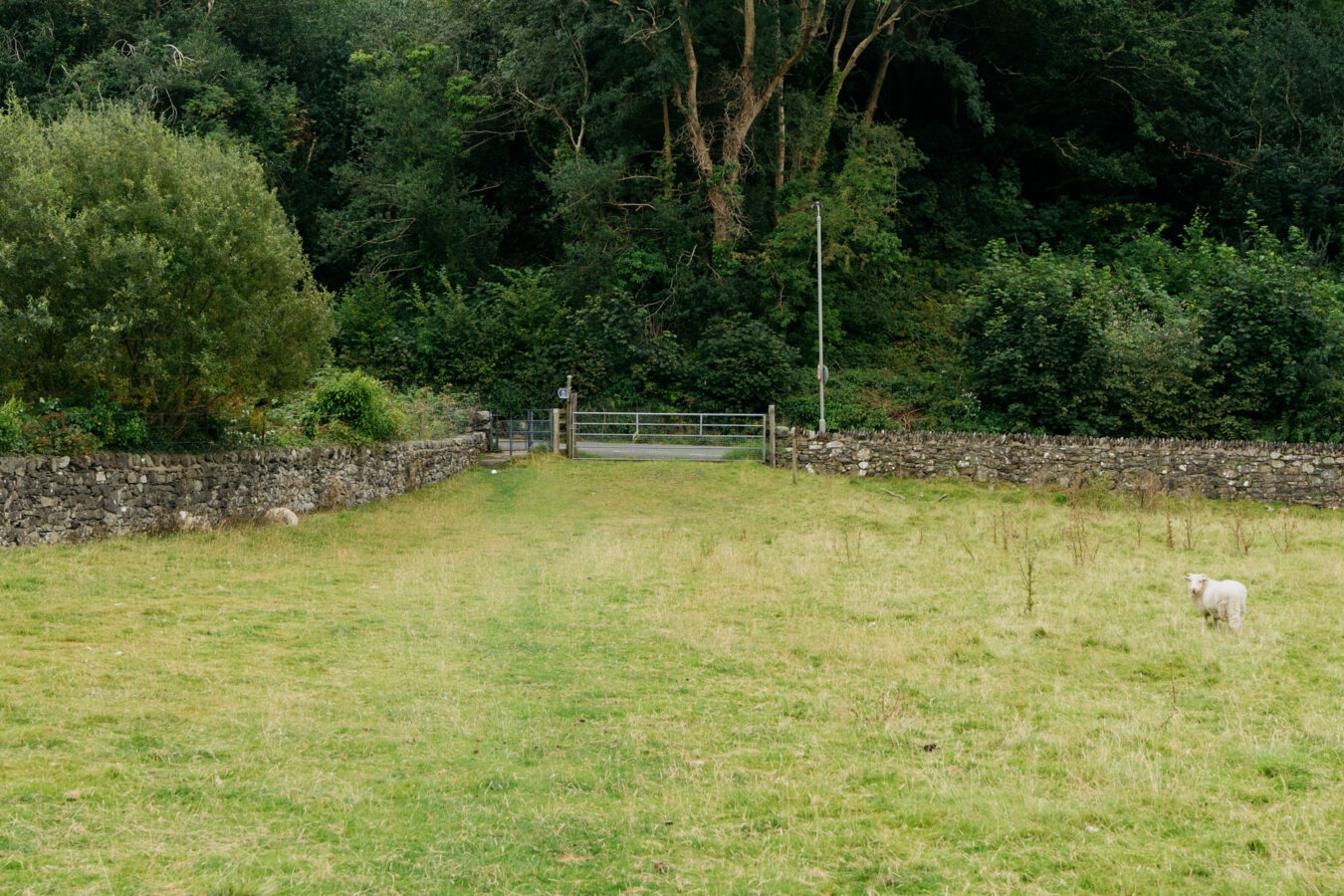
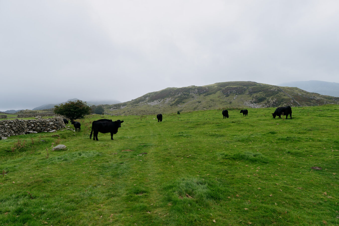
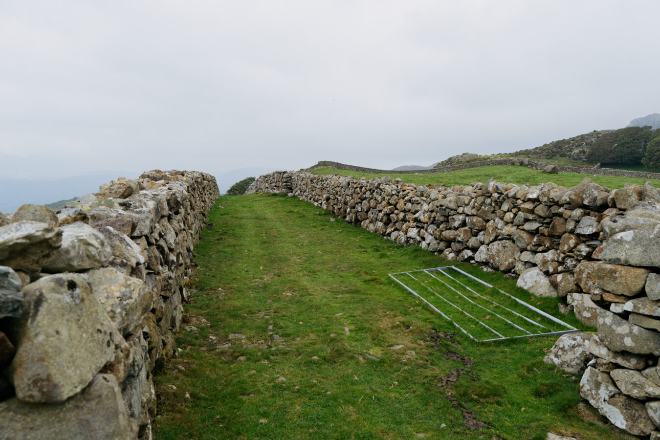
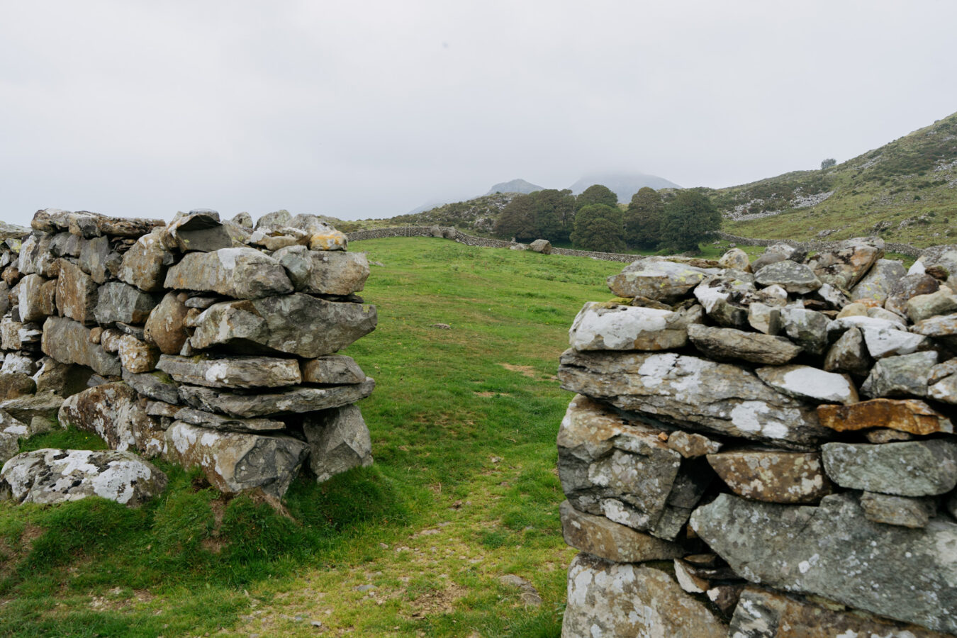
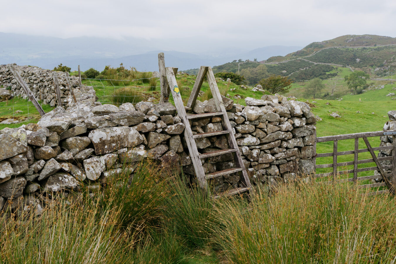
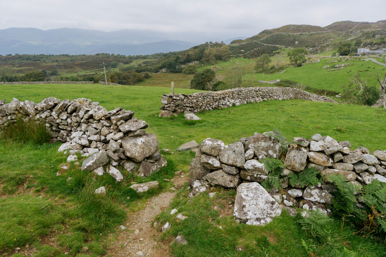
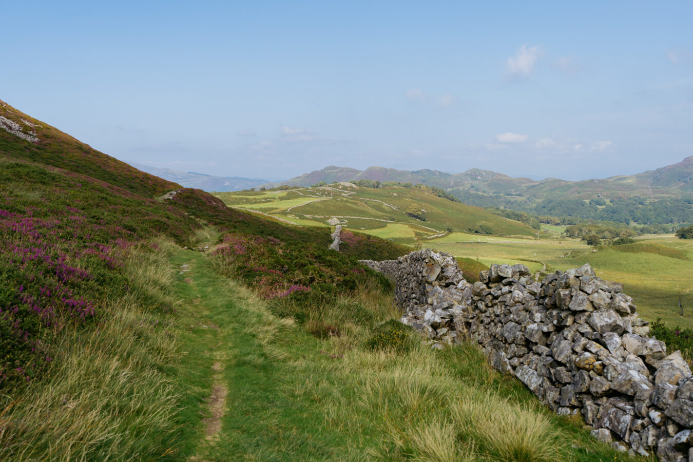
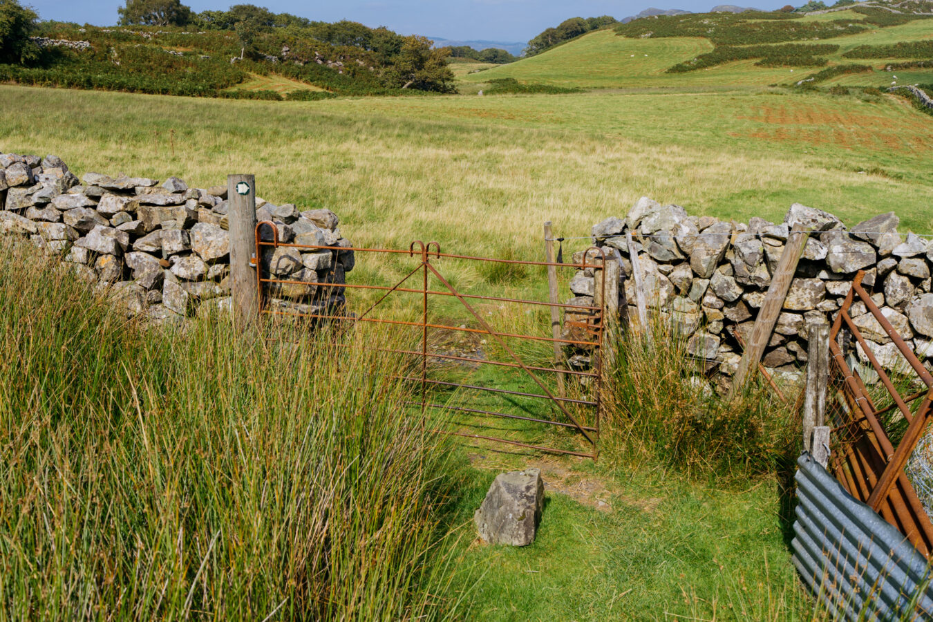
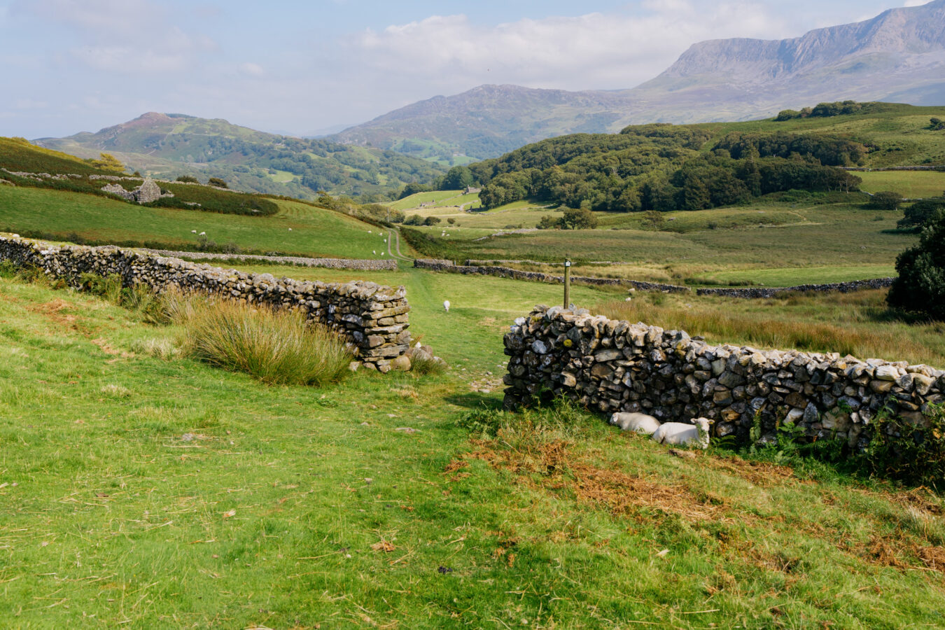
Go through another farm gate (sometimes left open) and continue straight across the field, passing some ruins on your left. Then, walk between two parallel stone walls, and turn right through a gap to reach a stile at the far side.
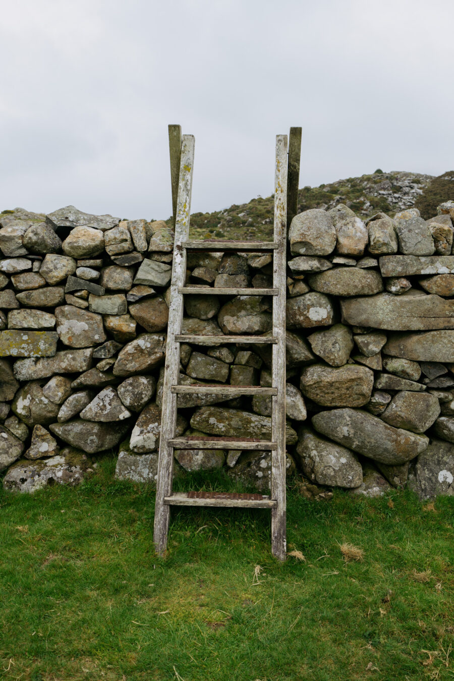
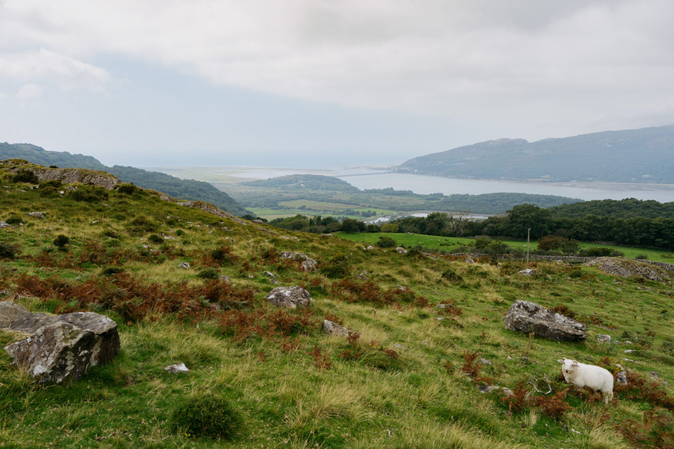
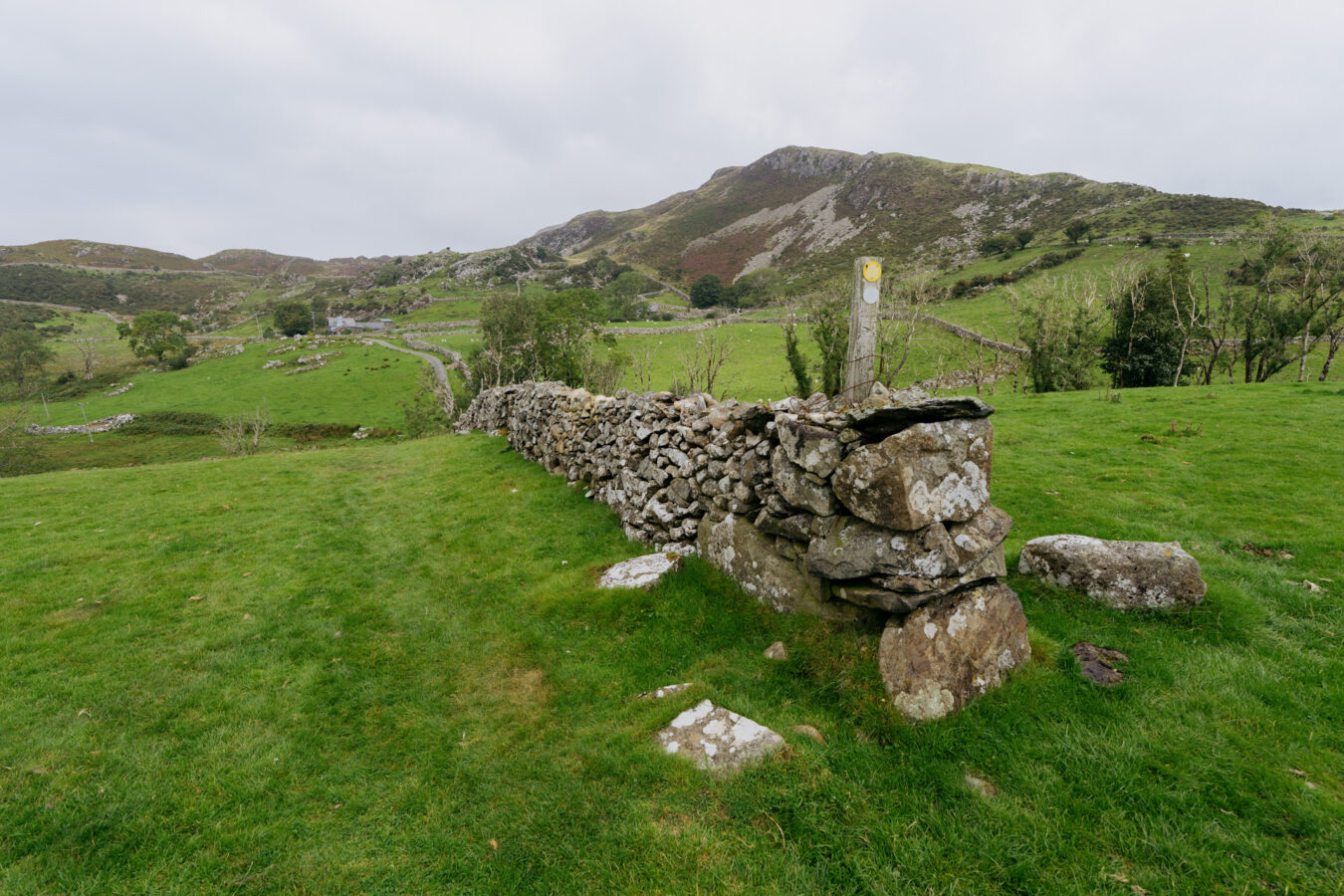
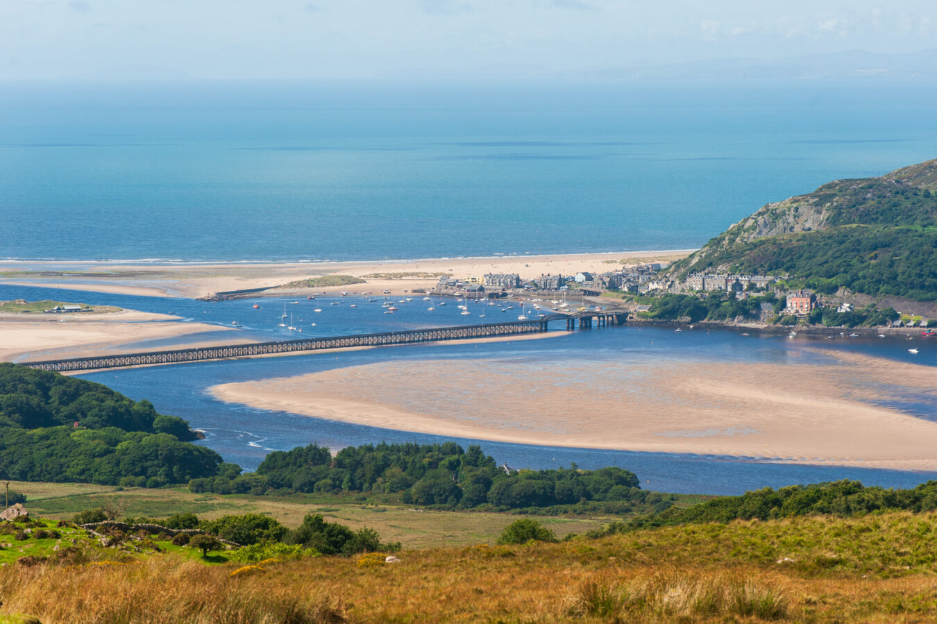
Cross the stile and keep straight on, gently undulating across the landscape until you pass through another gateway in a stone wall. Do stop to enjoy the beautiful panorama over Barmouth and the estuary. Unfortunately, the light was rather flat at this point in my walk — hopefully you’ll have better luck when you visit.
As you descend, you’ll soon see another stile on your left with a waymarker pointing that way.
Cross over and bear right, walking downhill. Go through the gap in the first stone wall to reach a second wall, where additional footpath signs will guide you. With the second wall on your right, continue down towards the paved road.
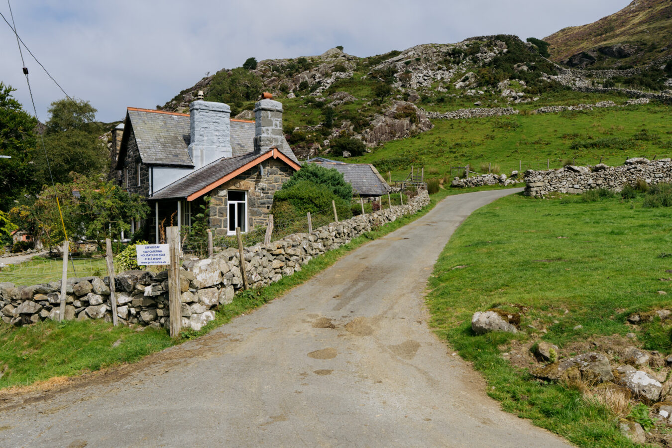
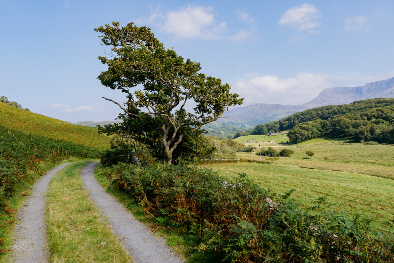
Follow the paved road as it climbs and bends. You’ll pass a cottage on your left and then a farm gate. You’re now close to the Cregennan Lakes. Keep following the winding road, and the lakes will soon come into view.
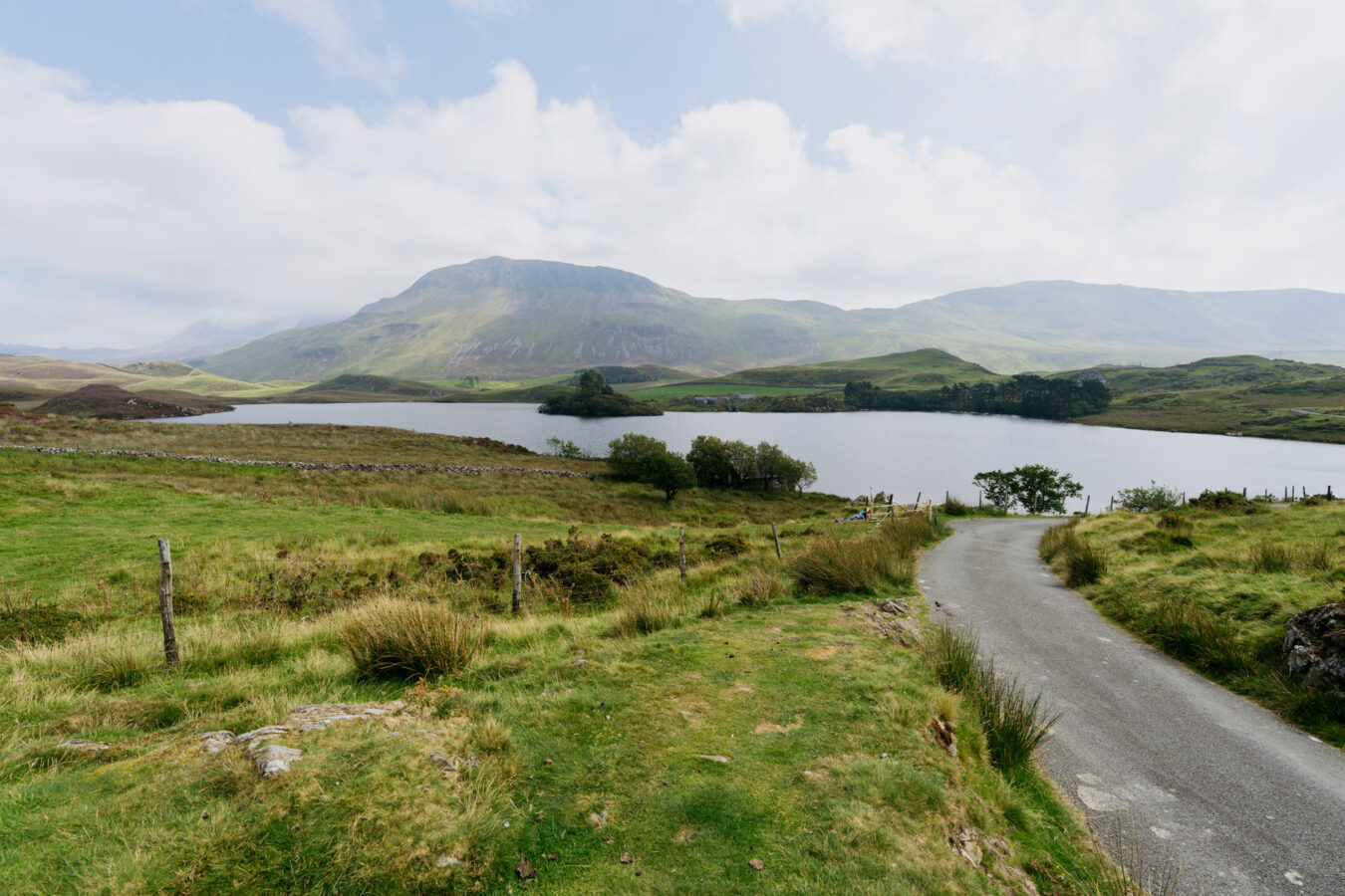
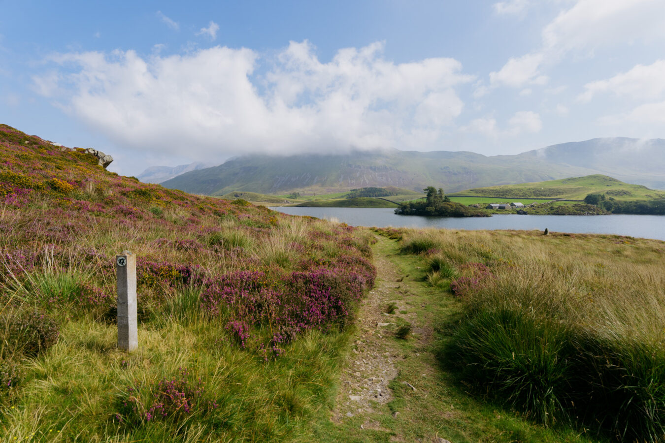
Step by Step Guide, Part III – Cregennen Lakes
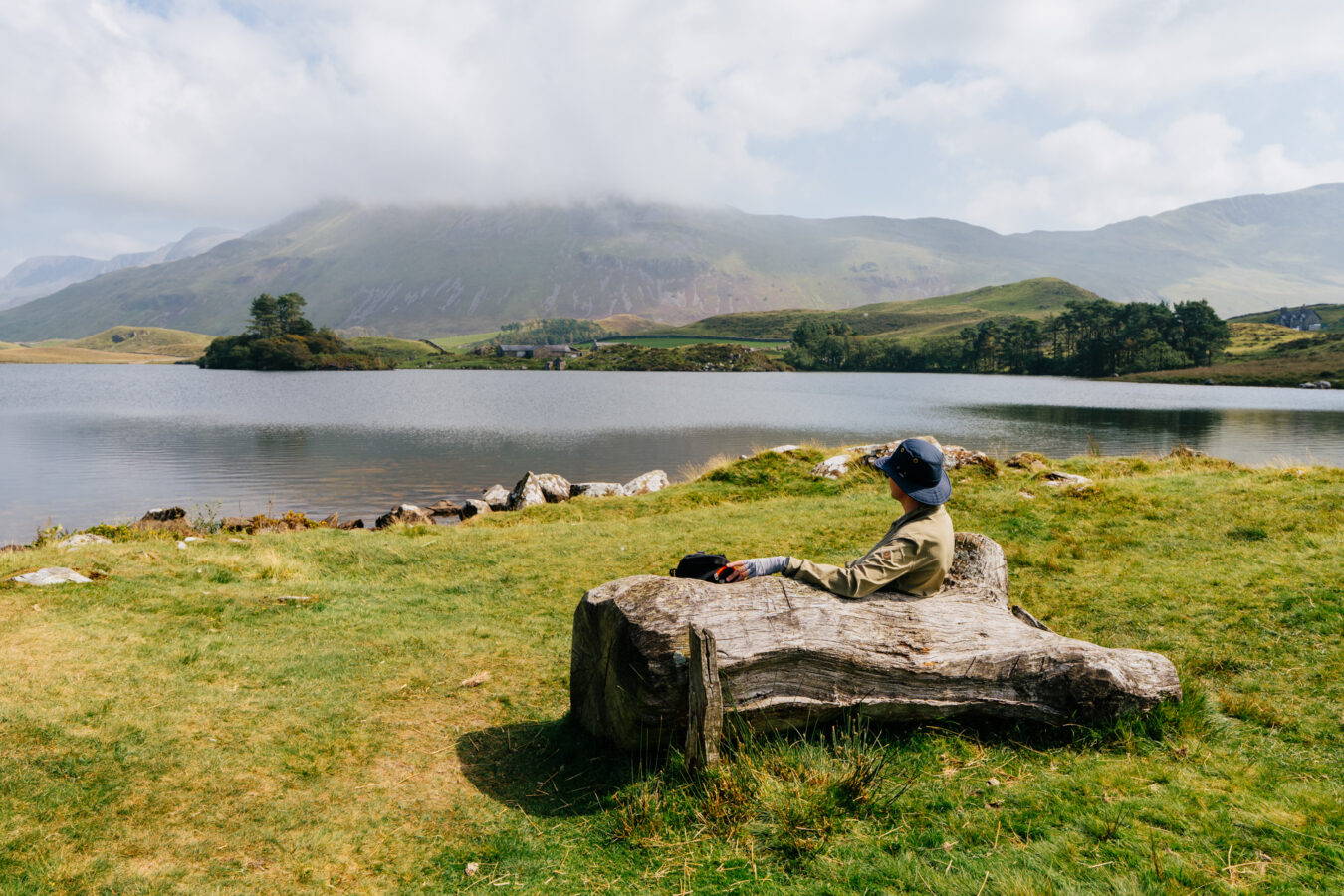
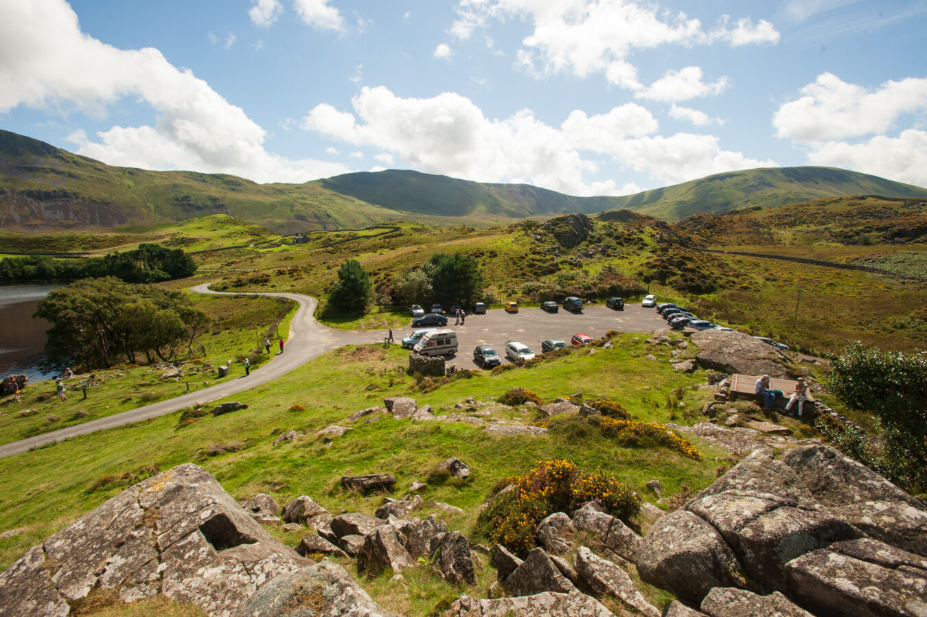
Keep an eye out for a path on your left (marked with a National Trust footpath sign) before the paved road descends to the lake and car park. This is where the route continues, but there’s no need to hurry — this is a good place to pause. You’ll find benches, picnic tables, and a public toilet behind the car park. If you climb the slopes to your right, you’ll also be rewarded with breathtaking views over the Mawddach Estuary and Barmouth. I’ve been many times here and taken a lot of photos over the years.
Note: As explained at the beginning of the article, the car park at the Cregennan Lakes provides an alternative start and finish for this route. If you start here, follow the instructions in the paragraphs and chapters below, then after the Mawddach Trail, return to the first chapter to continue from Arthog.
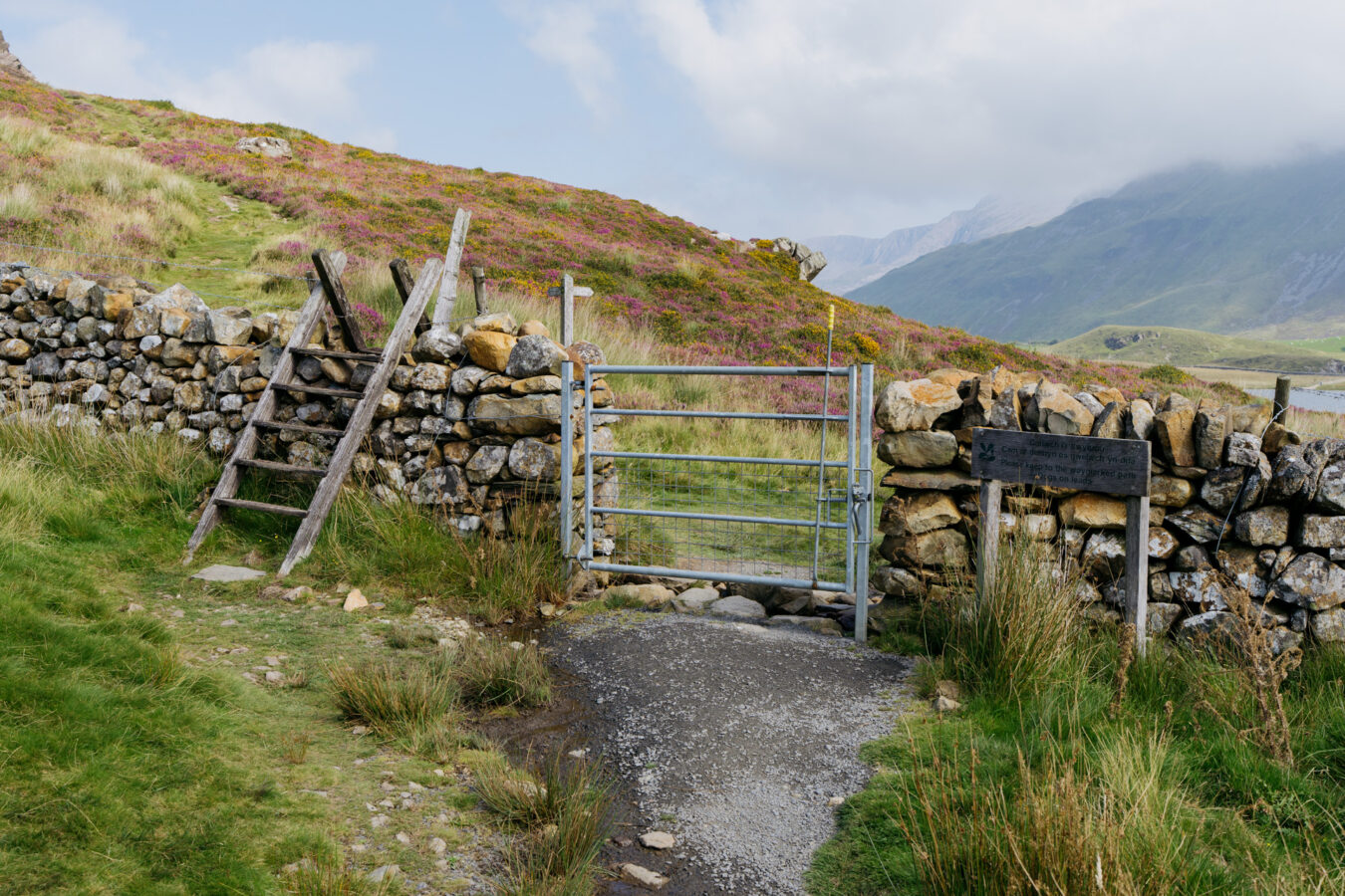
When you’re ready to continue, go back to the top of the tarmac road (north-west of the lake), and take the path mentioned in the previous paragraph Go through the gate or over the stile, then follow the path to your right (labelled Llwybr/Path on the wooden sign) along the lake’s northern shore.
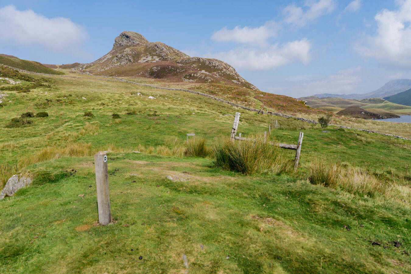
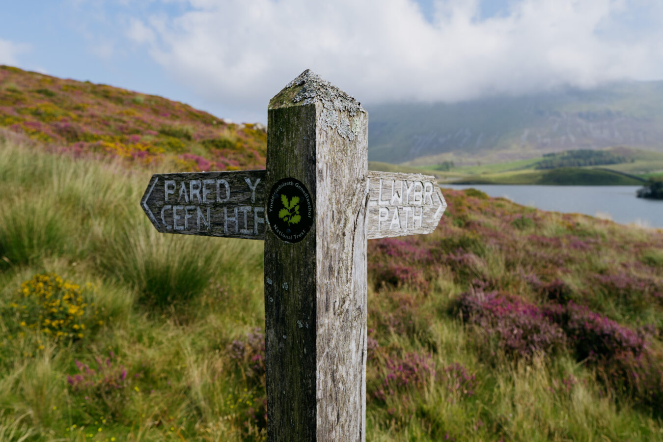
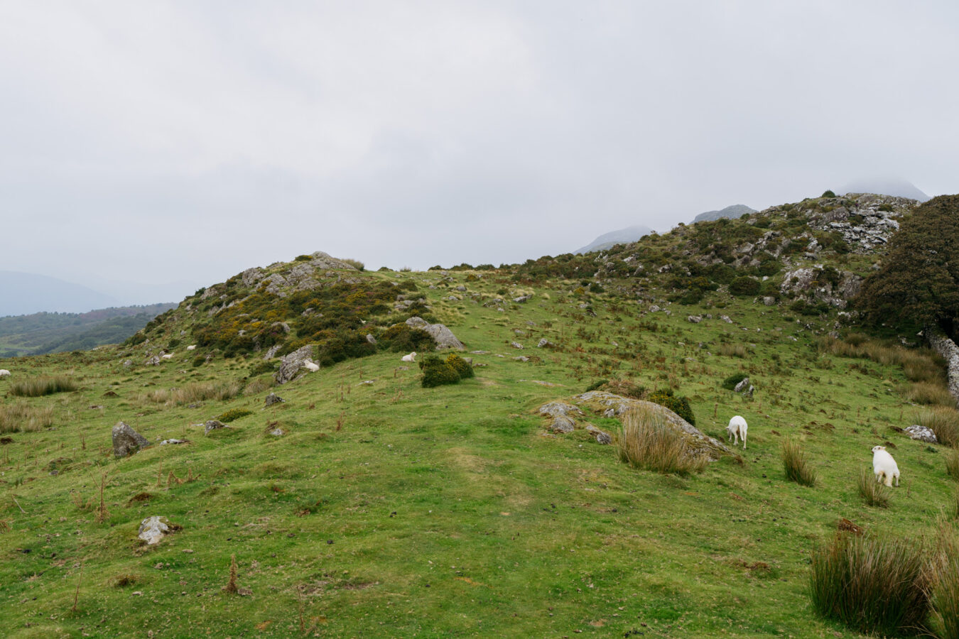
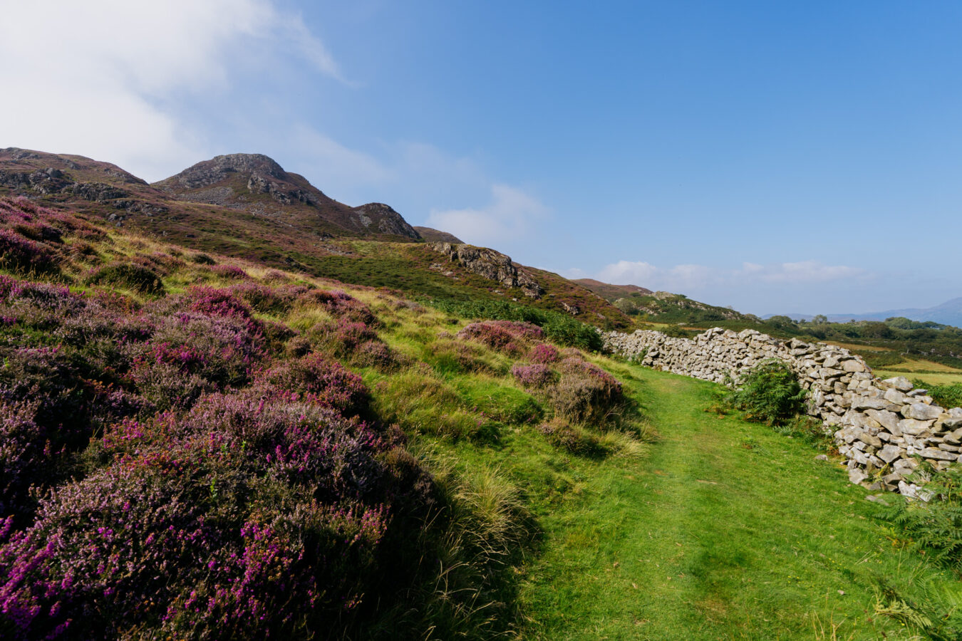
Optional detour: If you fancy a bit of scrambling, you could take the left-hand path instead (towards Pared y Cefn Hif). It’s a short but steep hike, with a few sections that require a bit of hands-on scrambling. From the summit, you’ll be treated to the best views of the lakes, the mountains, and the estuary. You can then follow the ridge for about 1 km, passing the remains of a hillfort, before descending to rejoin the main route near a farm. Do note that some sections of the trail throughout are quite narrow, and there are some steep descents. The detour is likely to add 30 to 60 minutes to your journey, depending on how quick and confident you are.
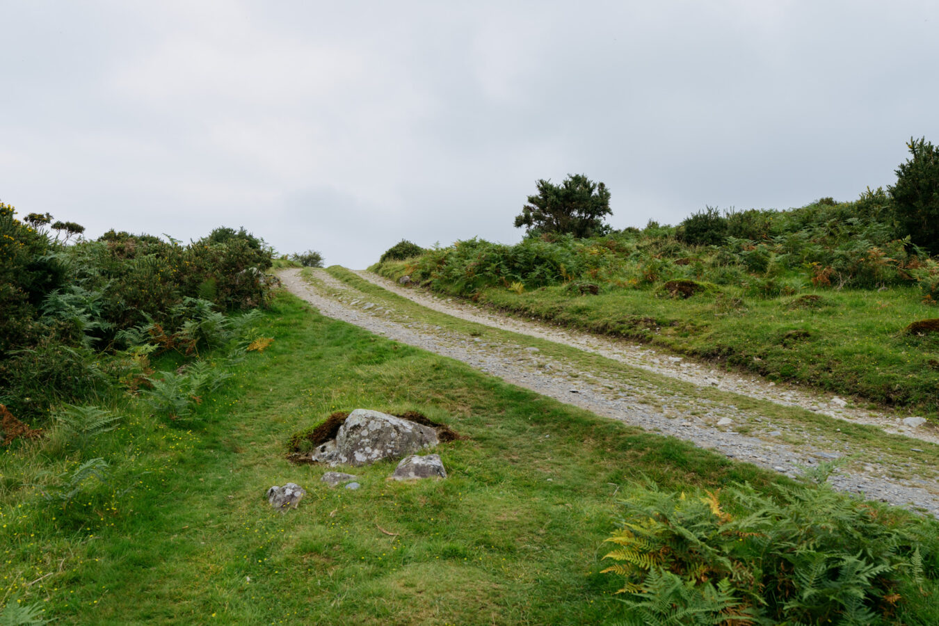
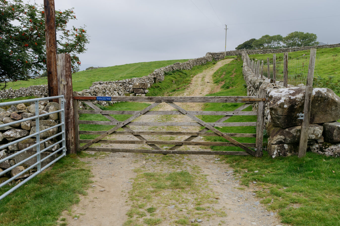
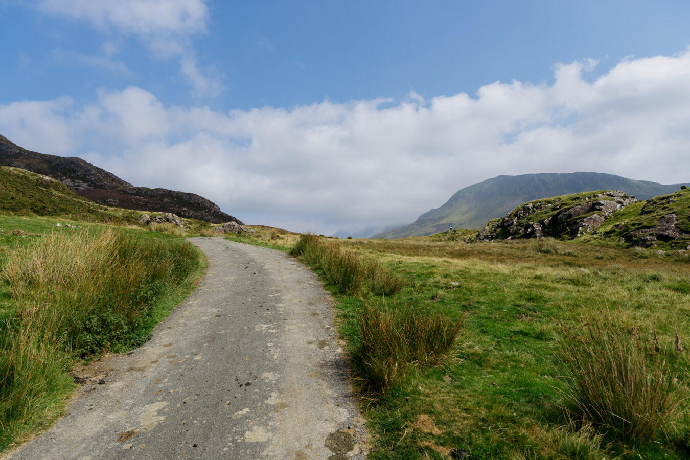
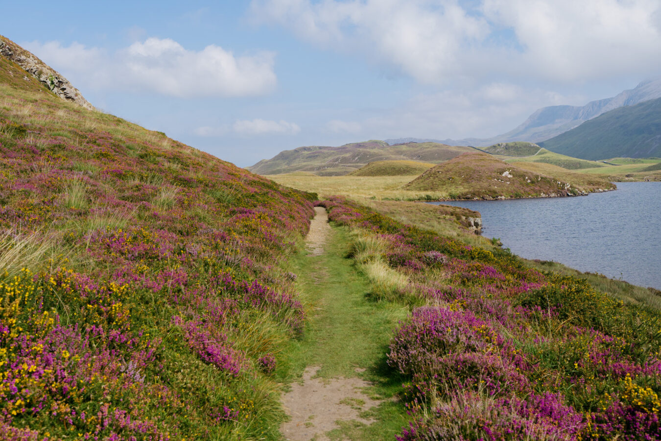
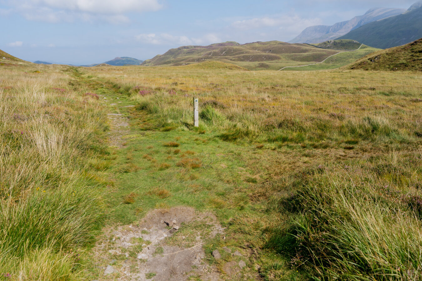
If you skip the detour, keep following the trail as you leave the lakes behind. You’ll come to a fork: ignore the path to the right and continue straight on, walking through the valley surrounded by heather and tall grasses. This section is particularly peaceful and usually quiet. Keep walking until you reach an old gate by a farm.
Note: If you took the detour to Pared y Cefn Hîf, this is where you rejoin the main route, by the gate.
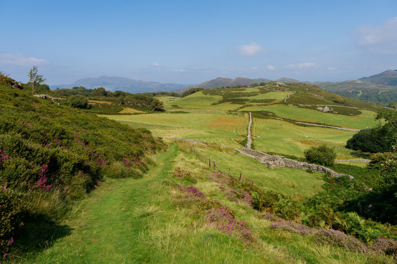
Cross the gate, then turn right through a gap in the wall and across the field to meet a farm track. Follow the track, passing through another farm gate and continuing along until you meet a paved road.
Go left and follow the tarmac for about 200 metres, where you’ll see the ruins of Rehoboth Chapel on your left. Look out for a path branching off to the right — take this path and follow it downhill through the woodland.
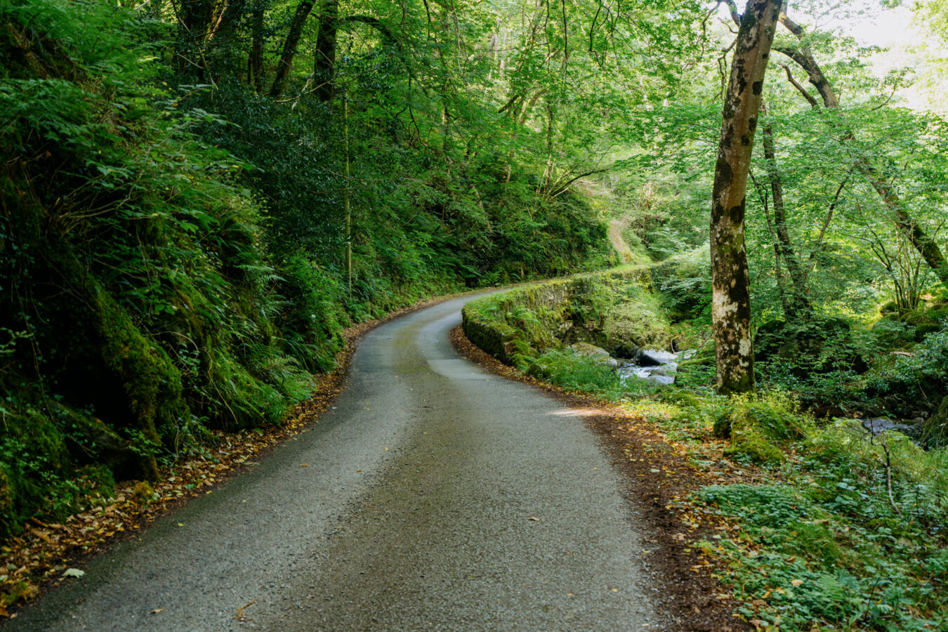
You’ll eventually reach a gate near a broken fence, and another paved road. Head downhill, walking beside a stream. You’ll pass a hostel on your right, then cross a bridge with the stream now on your left. Continue down the road, ignoring footpath signs pointing off to the right.
Step by Step Guide, Part IV – Abergwynant
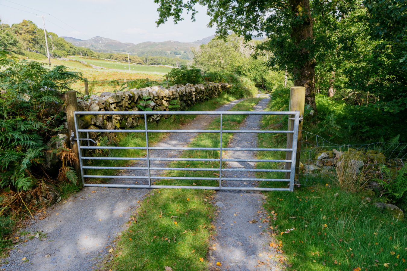
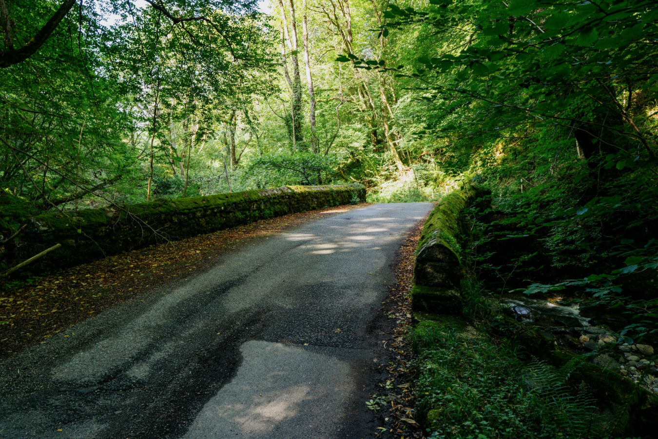
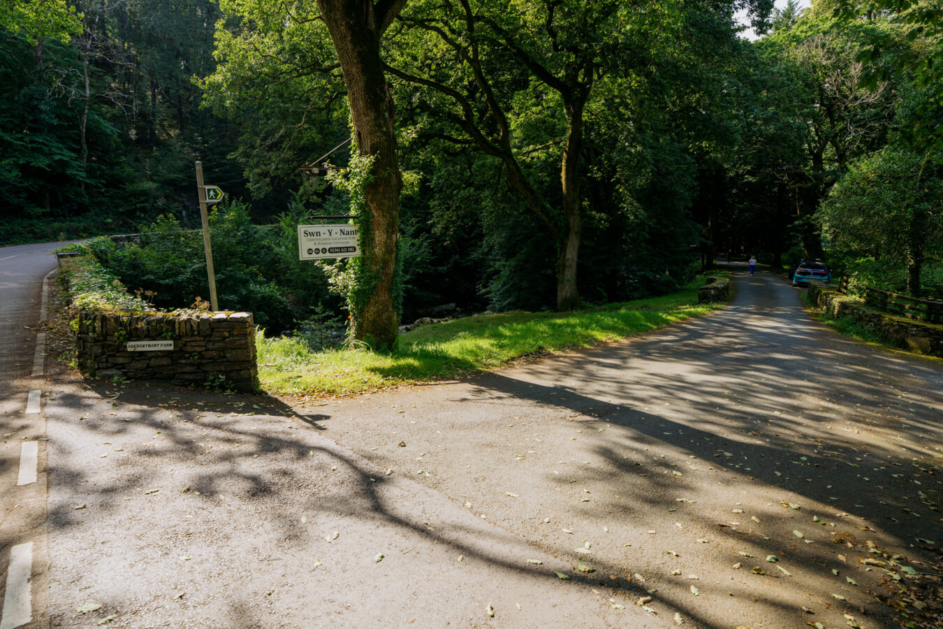
After roughly a mile, you’ll reach the A493 at Abergwynant. Cross the road and turn left, then immediately right to enter the Abergwynant Farm and Holiday Cottages site. Follow the paved road through tall trees. When you reach the stone bridge on your left, do not cross it — instead, continue straight on, keeping the stream and trees to your left.
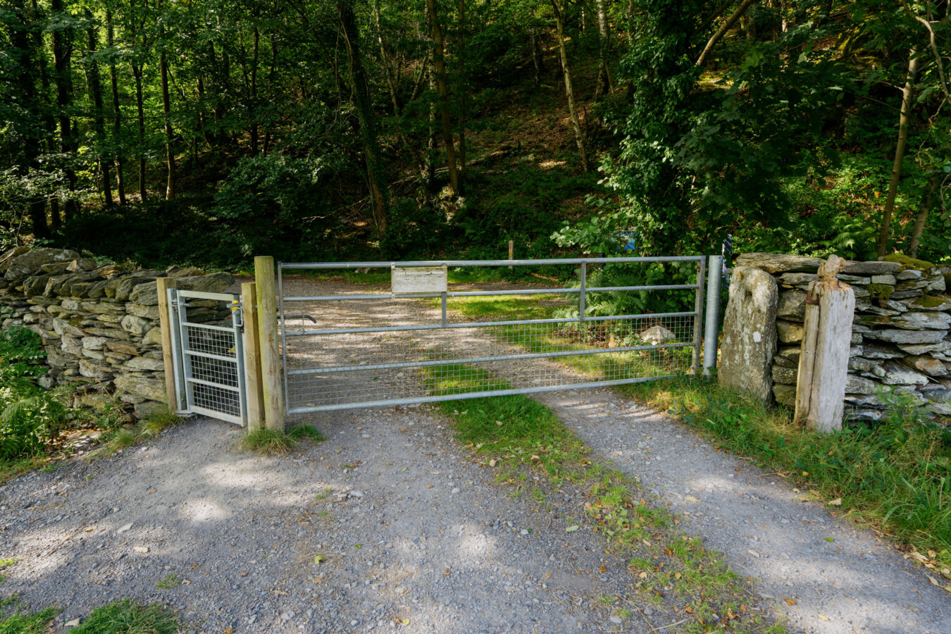
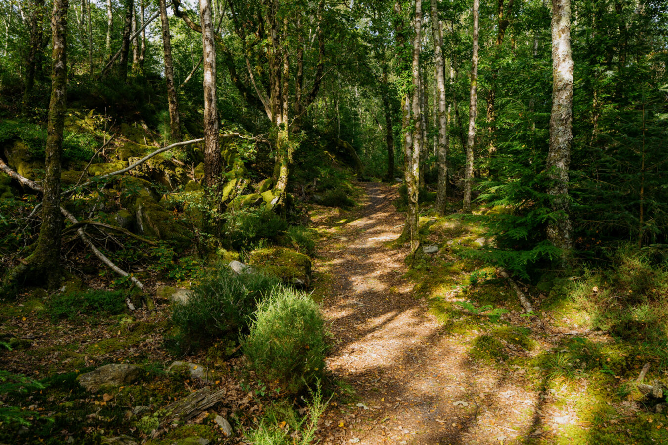
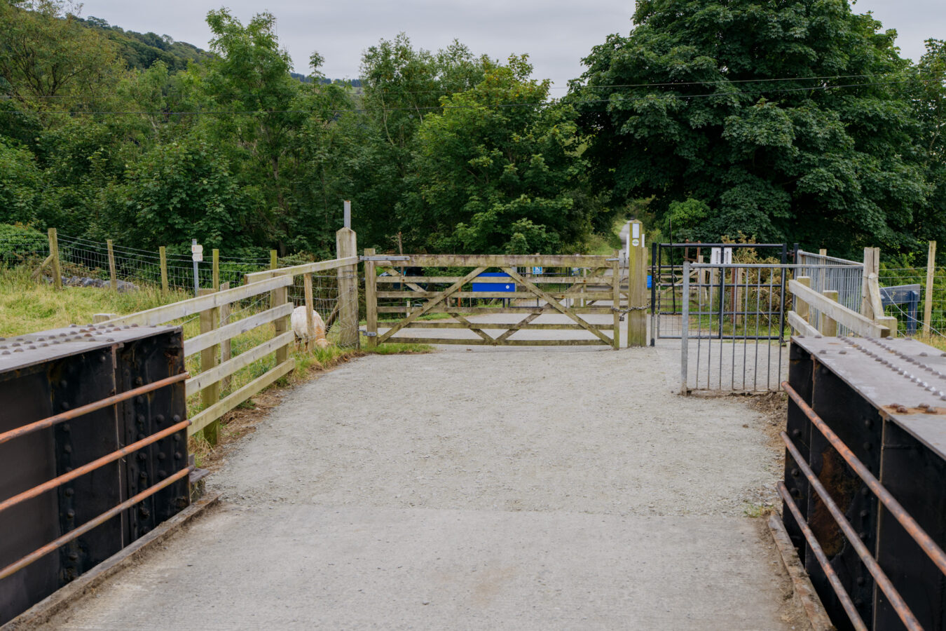
Shortly after, you’ll see a large gate marked with the Mawddach Trail sign. Cross the gate and follow the track to a second gate, entering the Abergwynant woods.
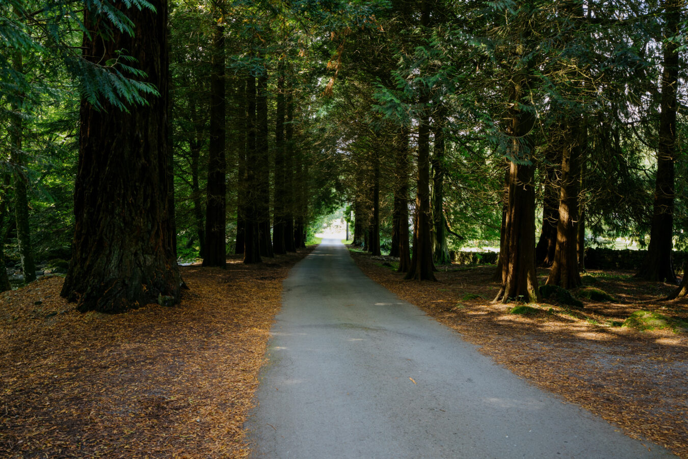
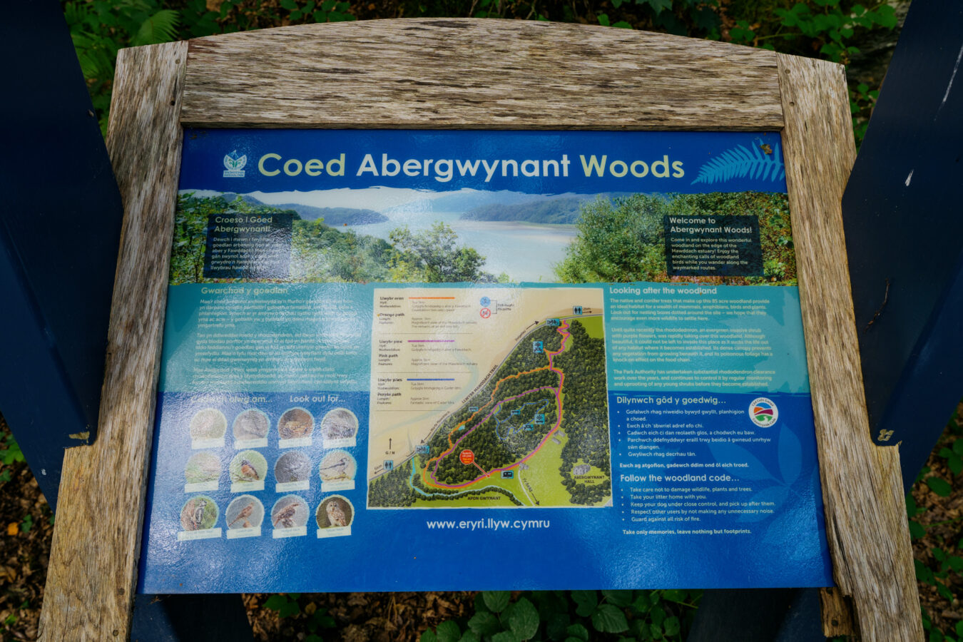
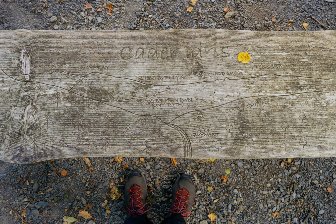
Here there is an opportunity for another detour to explore the woodland, with beautiful views of Cadair Idris and some picnic tables. I consider it worth visiting, so it’s included in the main route. There are several waymarked trails in different colours; the ones you’ll follow are purple, then blue, with a short section of orange at the very end.
Note: If you are tired at this point and prefer to skip the woodland, simply turn left after passing the second gate and follow the track — you will soon join the Mawddach Trail along the river (see next chapter).
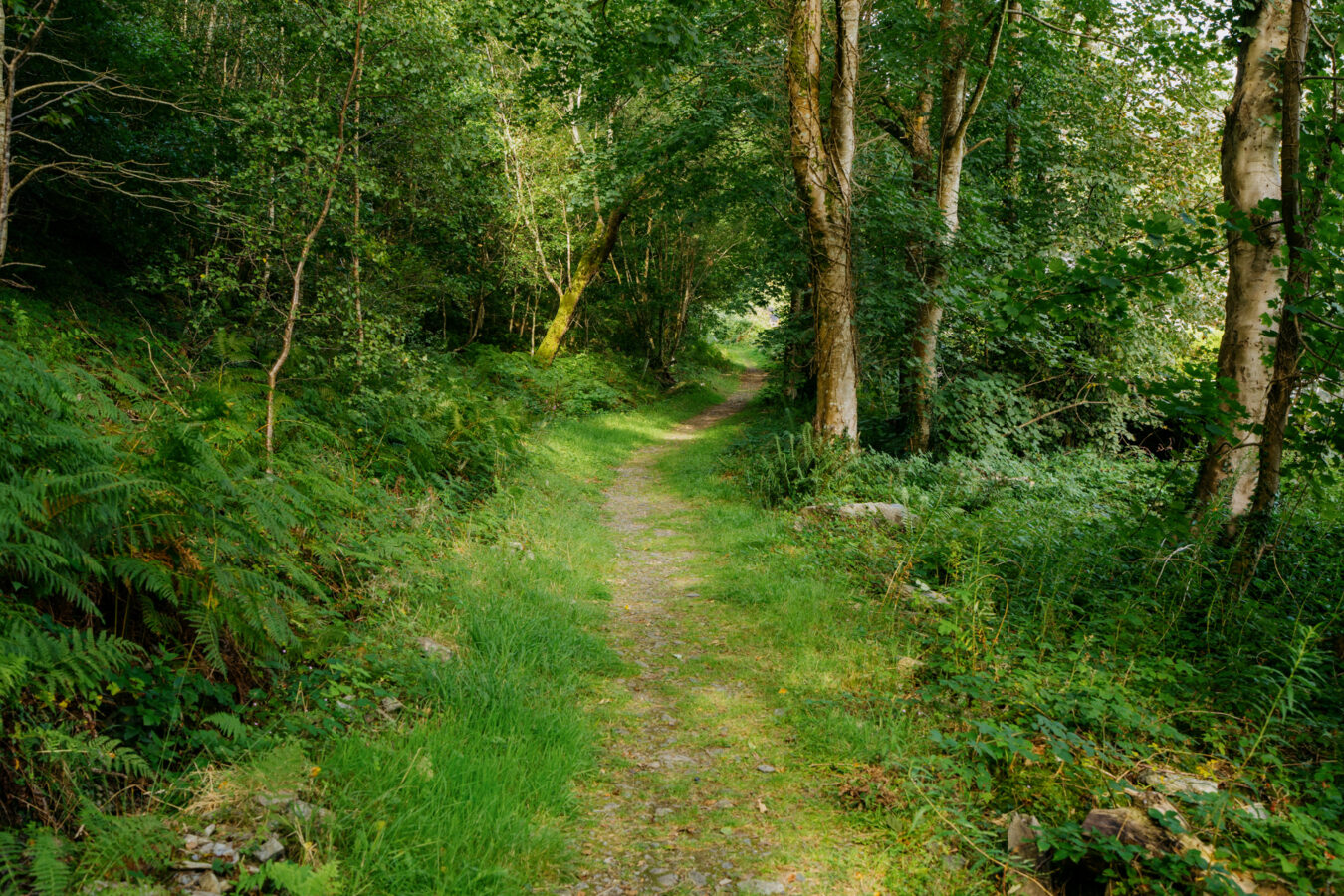
Turn right after the second gate and follow the purple trail as it climbs through the woodland. After a series of steps and turns, you’ll reach a fork — keep left and continue uphill along the purple circular trail, which will soon meet the blue trail.
When you arrive at a large clearing, the blue trail begins on your left. Soon after, you’ll reach a fork; either direction will return you here eventually. I recommend keeping right.
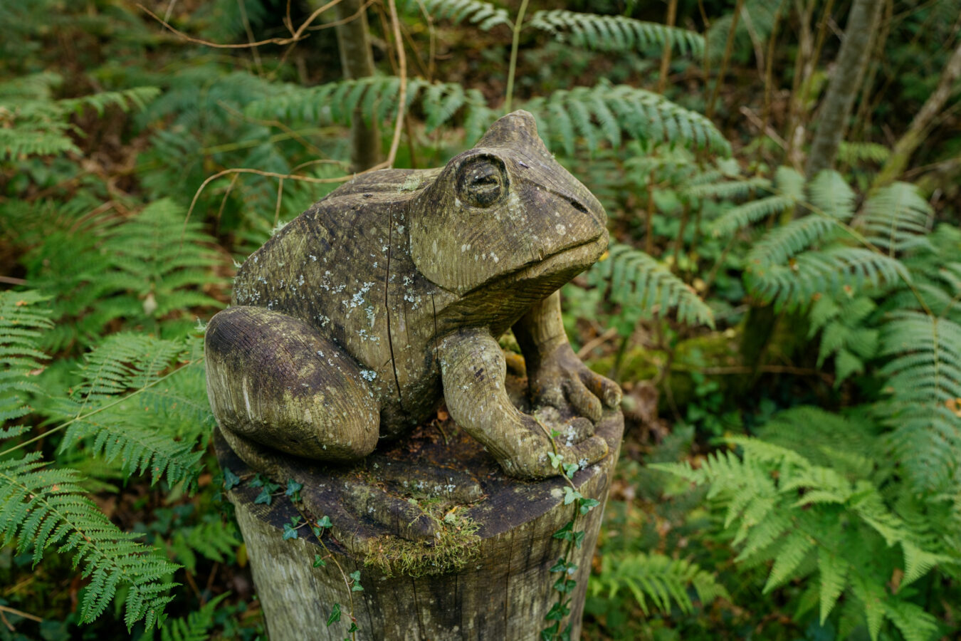
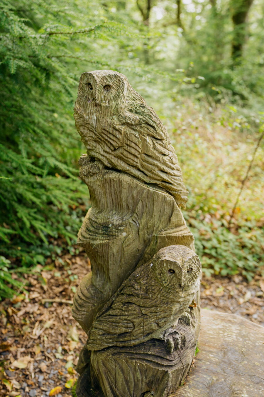
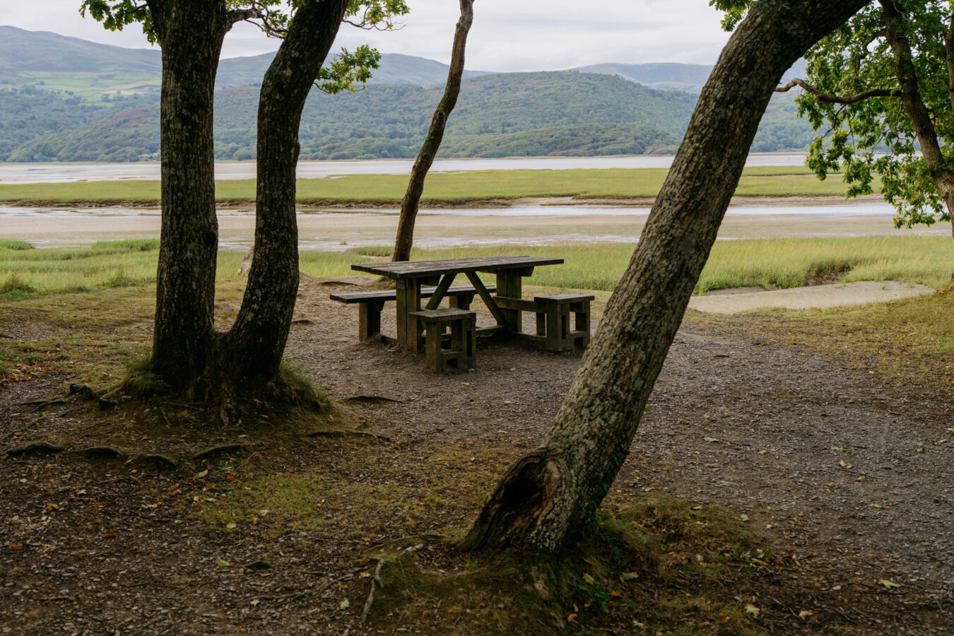
Follow the trail as it winds uphill, with the woodland becoming increasingly enchanting. You’ll notice several wooden sculptures along the way. Keep an eye out for a short path with steps on your right leading to a picnic area.
Later, you’ll find a bench on your right with a viewpoint offering lovely views of Cadair Idris.
Resume following the trail, which will eventually bring you back to the fork you passed earlier. Take the right-hand path downhill to return to the large open clearing where the blue trail started. Turn left to continue along the purple trail. After passing a warehouse, you’ll see that the purple trail diverges left along a narrower path. Ignore this and continue straight on, following the orange trail.
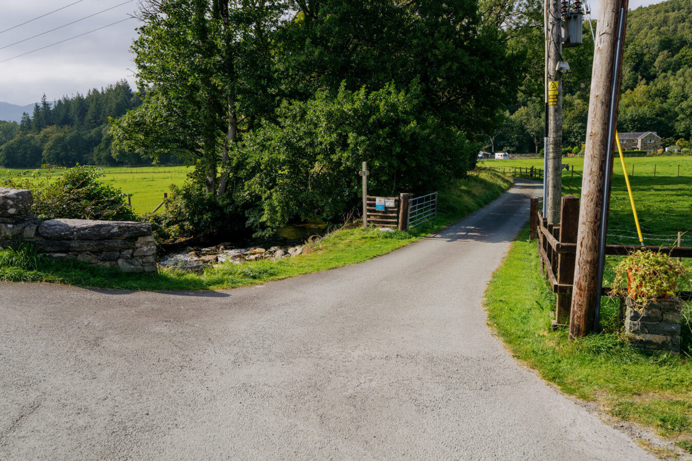
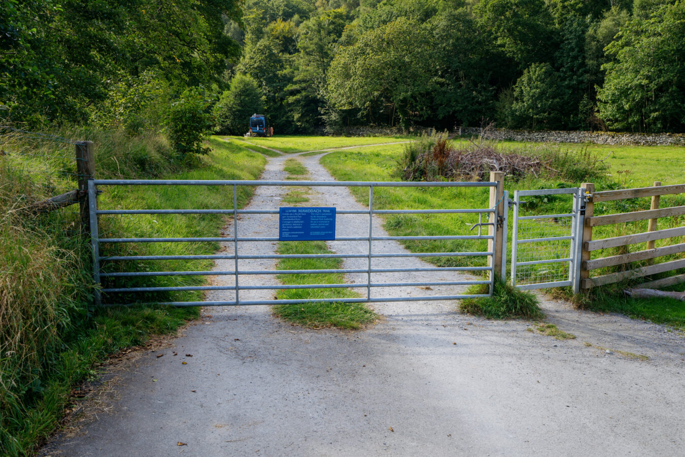
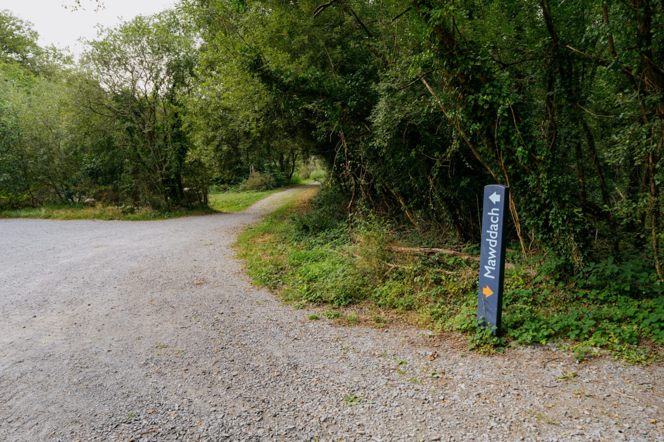
Upon exiting the woods, you’ll see the Mawddach Trail sign on your right. Turn right and follow the track to join the river. Pass through the gate and turn left, walking west along the river.
Step by Step Guide, Part V – Mawddach Trail
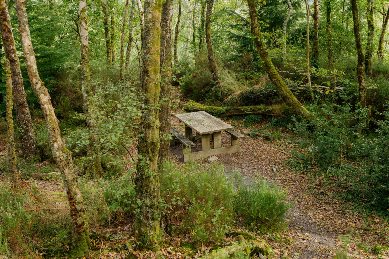
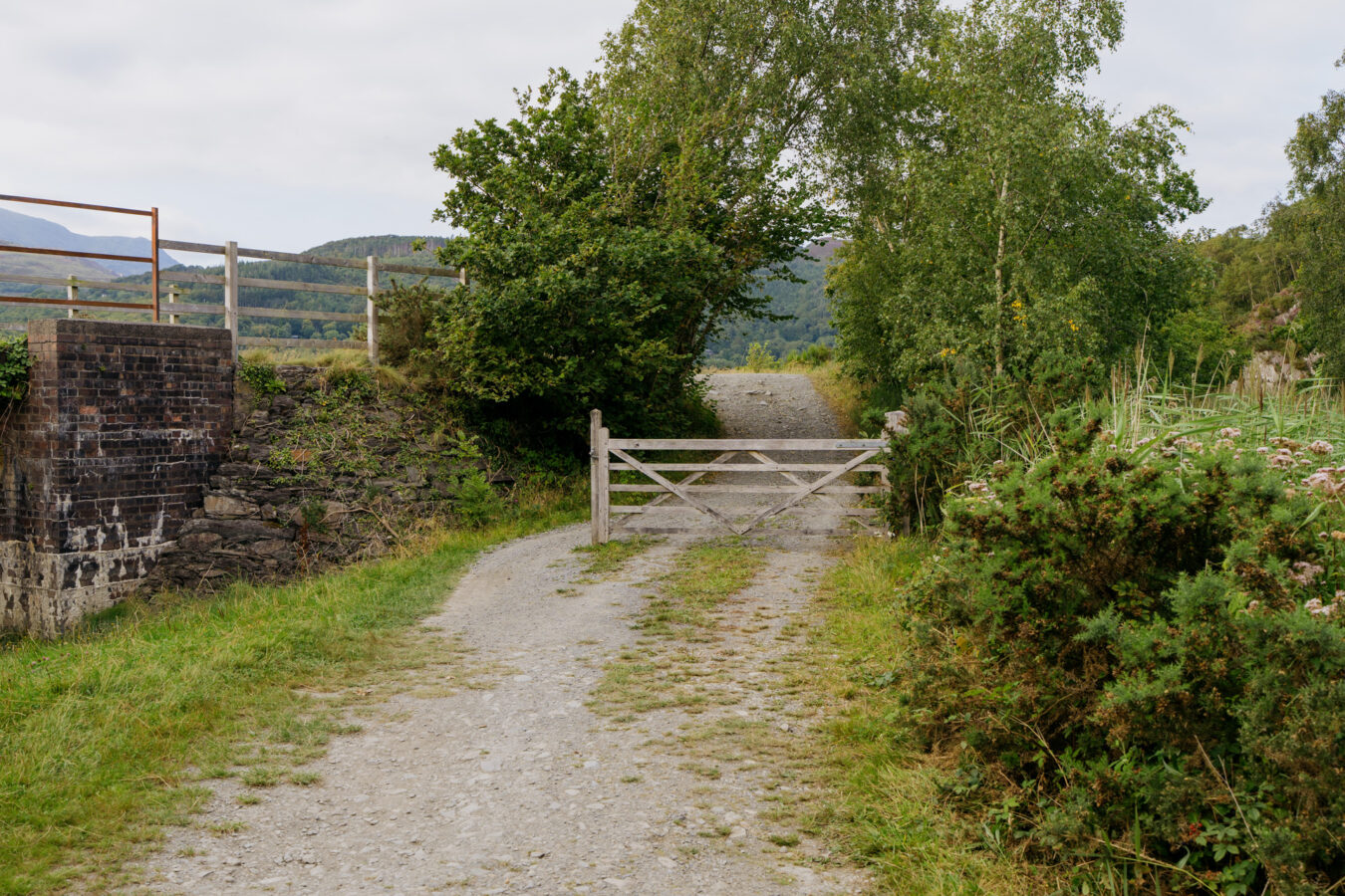
This final section of the route is flat and easy. You’ll pass several benches and picnic areas where you can rest, and you may meet other walkers and cyclists along the way. Continue following the trail for almost three miles until you reach a gate, with the car park where you began just a few metres away.
Note: If you started at Morfa Mawddach, continue along the Mawddach trail for another mile.
If you began at the Cregennan Lakes, turn left after the gate, leaving the Mawddach Trail behind. Pass the car park on your right and follow the paved road towards the A493 — from there, you can follow the steps described in Part I.