Coed Nant Gwernol (coed means ‘wood’ or ‘trees’ in Welsh) is a woodland near the village of Abergynolwyn, where the famous Talyllyn Railway ends its journey. It takes its name from the small river Nant Gwernol (nant means ‘stream’ in Welsh) and its cascading waterfalls, which pass through a dramatic rocky gorge.
Nant Gwernol is part of the Dyfi Forest, the Eryri (Snowdonia) National Park, and the National Forest for Wales. It is located 7 miles north-east of the seaside town of Tywyn, and 12 miles south-west of Dolgellau.
The woodland offers a beautiful trail that follows the stream and takes you through the remains of the Bryn-Eglwys Slate Quarry. For those who enjoy exploring, there is a hidden waterfall to discover, which will make your experience even more special.
In this article, I’ll guide you step by step along the path and provide all the key information so that you don’t miss anything.
IN A NUTSHELL
Coed Nant Gwernol
How long is it? The longest trail is about 4 miles, taking between 2 and 2 ½ hours depending on your walking pace. The shorter trail is approximately 1 mile.
How easy is it? The trails are well waymarked from start to finish. It isn’t a particularly difficult hike overall, but there are steep climbs and descents, as well as some narrow sections. Certain areas can be quite muddy, and rocks may be wet and slippery, so it’s important to wear appropriate footwear. Stick to the path and avoid entering any mine workings or abandoned buildings, as they may be unsafe.
Can I bring my children? There is the option of a shorter route, but you won’t be able to push a pram along the path. I’d say any child aged 4 or older should be able to manage with a bit of help, but only you can judge what’s best for your little ones. The hidden waterfall section requires extra caution and is not suitable for young children.
Accessibility: The trail is not suitable for wheelchairs, as it narrows at certain points, and you will need to navigate steps and rocks.
Where can I park my car? You can park in Abergynolwyn village or at the Abergynolwyn train station.
Can I get there by public transport? Yes, the G24 Lloyd Coaches bus stops in Abergynolwyn, and of course, you can take the Talyllyn Railway.
Are there any amenities nearby? The Abergynolwyn train station has a café, toilets, and an electric car charging point (7kW). There’s also another café and a pub in the village.
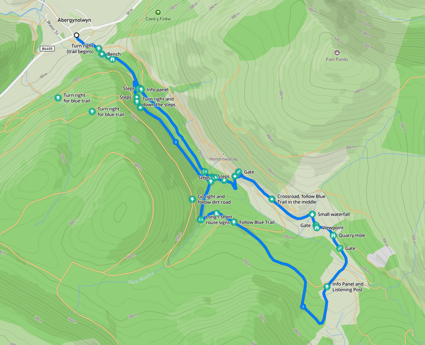
Nant Gwernol Map and Routes
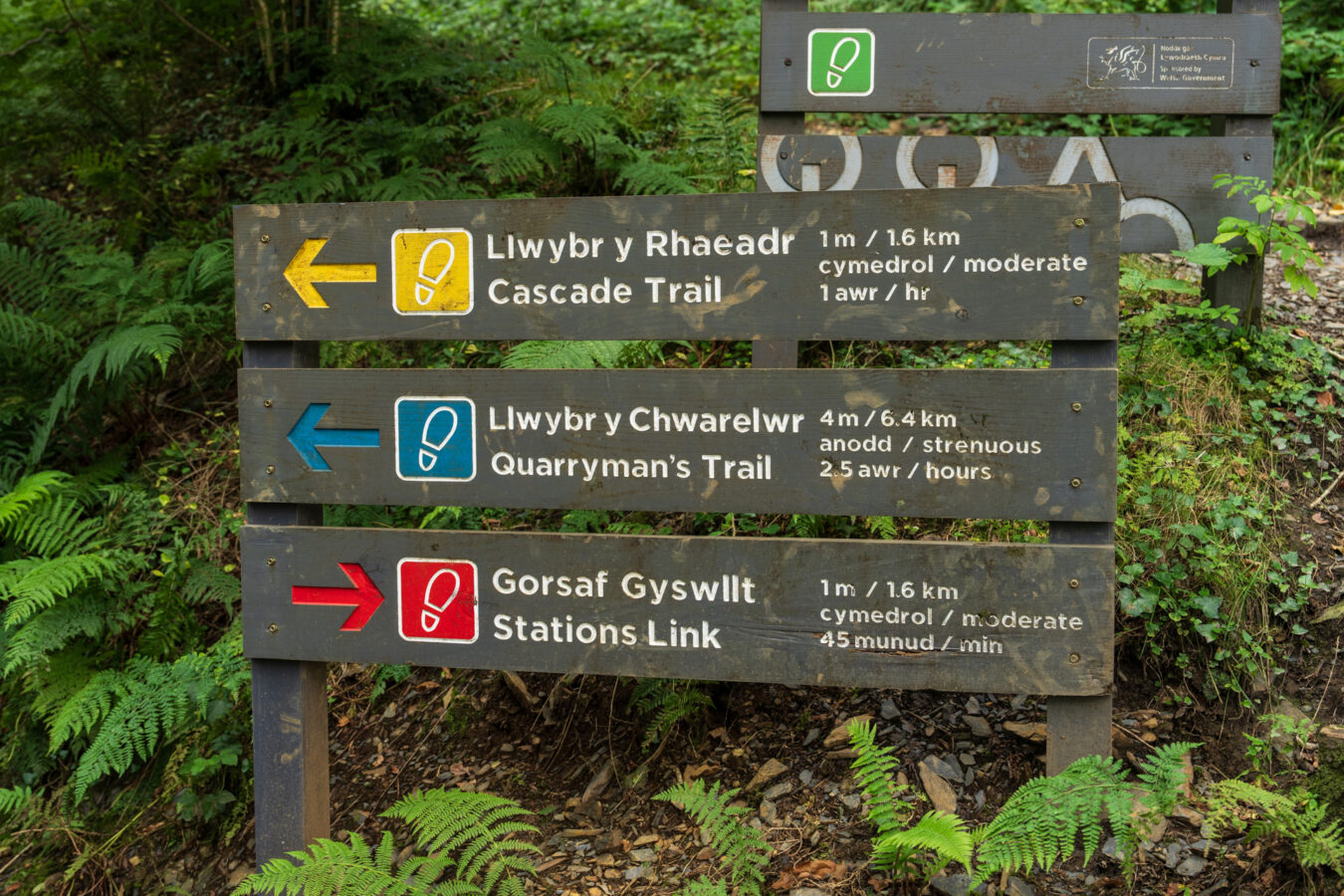
There are three main paths in Coed Nant Gwernol.
The Stations Link Trail (red signage) connects the two nearby stations of the Talyllyn Railway: Abergynolwyn station and Nant Gwernol station, the latter being the end of the line. It is about 1 mile long and will take you less than an hour to complete.
The Cascade Trail (yellow signage) is the shorter route, following the stream up to a certain point without leading to the plateau where the quarry is located. It takes approximately one hour to complete and is a good option for those who are unable to walk long distances, or if you are on a schedule to catch the train or bus back. You will still experience the beauty of the woodland and learn some interesting historical trivia along the way.
The Quarryman’s Trail (blue signage) is the longest route and will take you up above the gorge where the remains of the slate quarry are. It is also the path to follow if you wish to find the hidden waterfall. It is nearly four miles long and will take approximately two hours to complete.
Free PDF guide!
- If you subscribe to our newsletter, you’ll get access to our exclusive members’ area, where you can download a mobile-friendly PDF guide and a GPX file of this walk.
NANT GWERNOL history
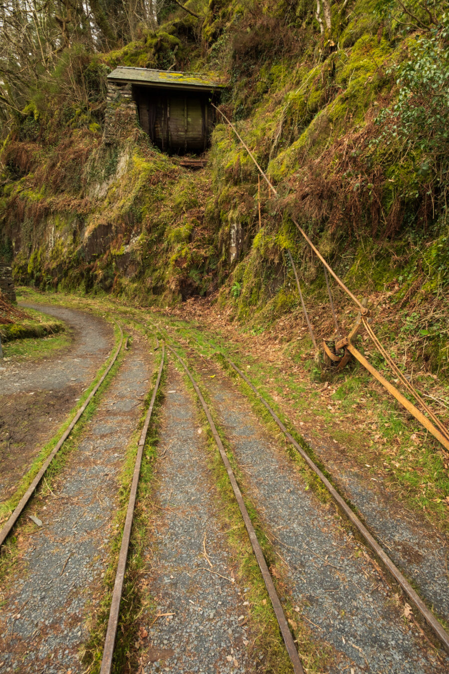
- The area once thrived with slate mining activity, employing hundreds of people. The finished slate was transported to the coast via tramways and steam trains. The Talyllyn Railway, which inspired Rev. W. Awdry’s Thomas the Tank Engine books, can still be seen today, carrying tourists and holidaymakers.
- Along the trail, you will find information panels and listening posts, where you can learn more about the quarry and the people who worked there.
- The remains of the Bryn-Eglwys Slate Quarry are part of the Slate Landscape of Northwest Wales World Heritage Site.
How To Get To Nant Gwernol
There are three ways to reach Coed Nant Gwernol: by car, via the Talyllyn Railway steam train or with the bus.
By Car
If driving, you can leave your vehicle in the small Community Centre car park in Abergynolwyn, which will be the starting point for your hike. If no spaces are available, you can search for a spot along Llanegryn Street, just opposite. However, please be mindful that this is a residential area, so ensure you are not blocking any gates or access points.
See the Community Centre car park on:
Google Maps – Apple Maps – what3words
By Train
The Talyllyn Railway runs from Tywyn to Abergynolwyn and Nant Gwernol, the end of the line. The journey lasts about an hour and, combined with the hike, makes for a fantastic day out in the magical Welsh woodland.
You can choose to stop at Abergynolwyn station, where there is a café and toilets. A trail (waymarked in red) connects the station to Coed Nant Gwernol, taking about 45 minutes. Alternatively, you can continue to the end of the line and stop at Nant Gwernol station, which is where the “official” hike begins.
Timetables can be found on the Talyllyn Railway website, so be sure to allow plenty of time for your return journey.
By Bus
The G24 bus, operated by Lloyd Coaches, runs from Dolgellau to Tywyn and stops in the centre of Abergynolwyn. Timetables are available on the Lloyd Coaches website.
Nant Gwernol Hike (Blue Trail)
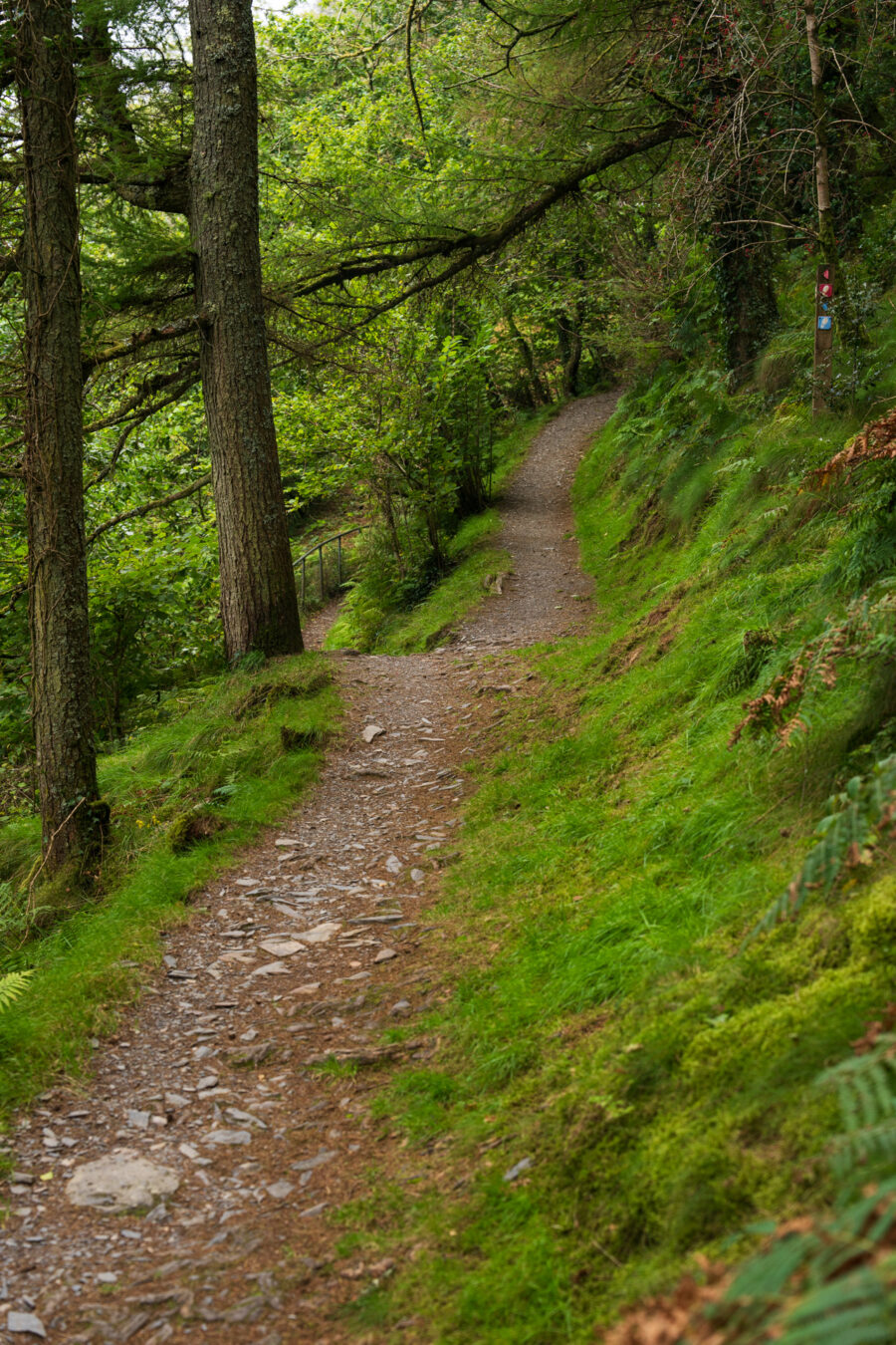
From the car park, take the small road to the left of the Community Centre. After passing the houses, the road will begin to climb quite steeply. Keep going for a few minutes until you see a walking sign pointing to the entrance of Coed Nant Gwernol on the right.
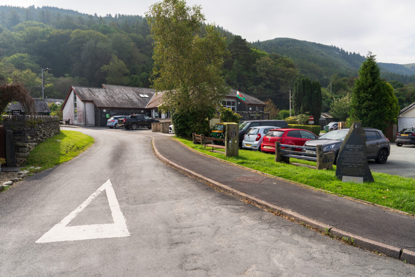
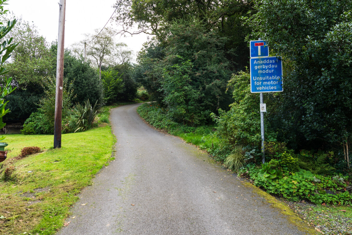
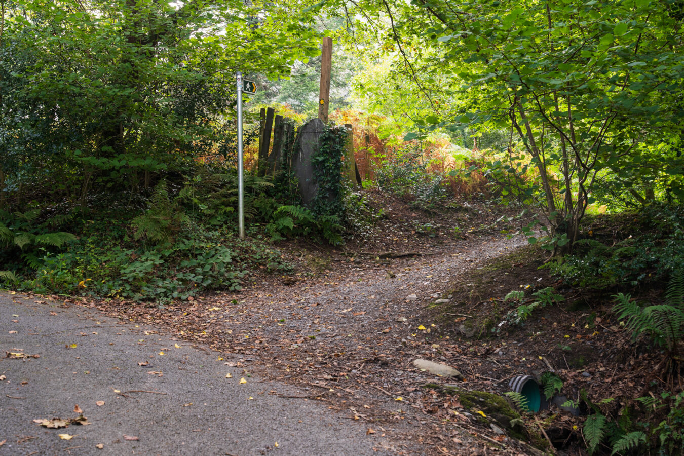
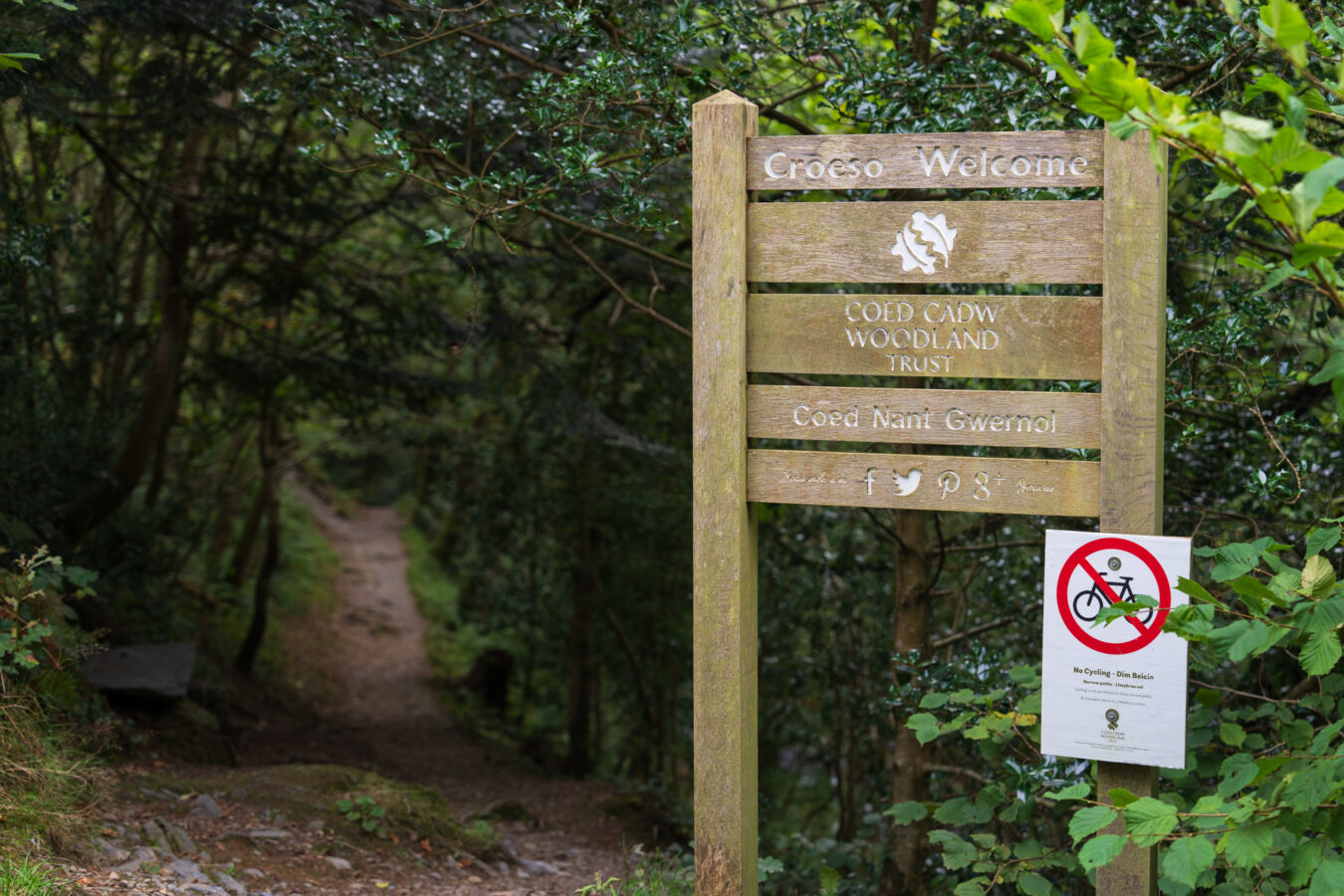
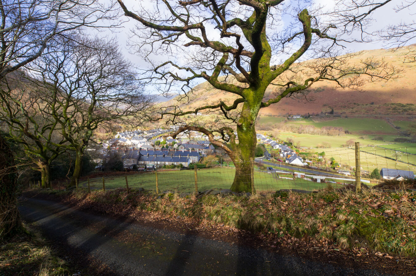
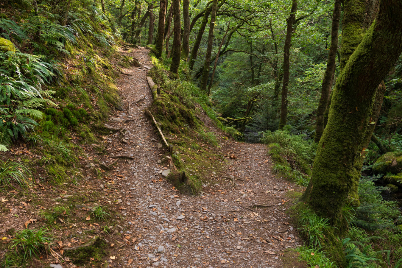
A few minutes later, you’ll come to a fork in the path: stay to the left. The path on the right leads down to the river, which offers a nice viewpoint to check out, but it doesn’t lead anywhere.
Bridge and Nant Gwernol Station
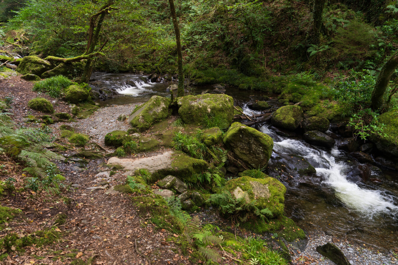
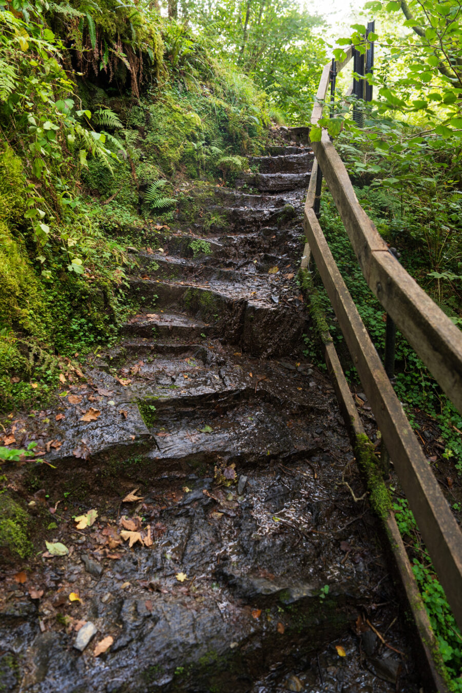
Keep walking for approximately five minutes, and you’ll come across another fork with steps on the left and a bridge on the right. The bridge connects to the train station and is also the point where the three trails (red, yellow, and blue) meet.
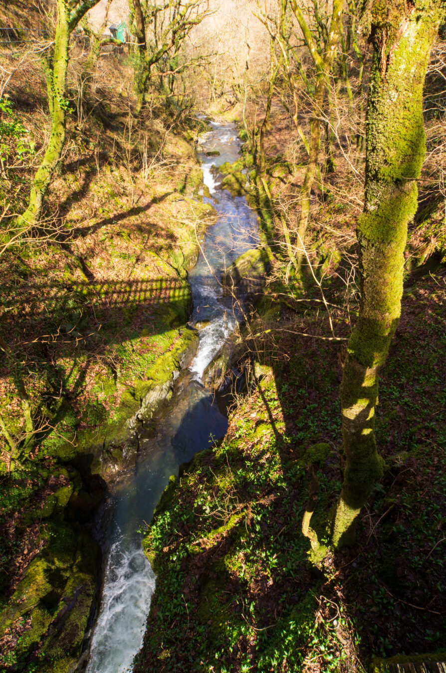
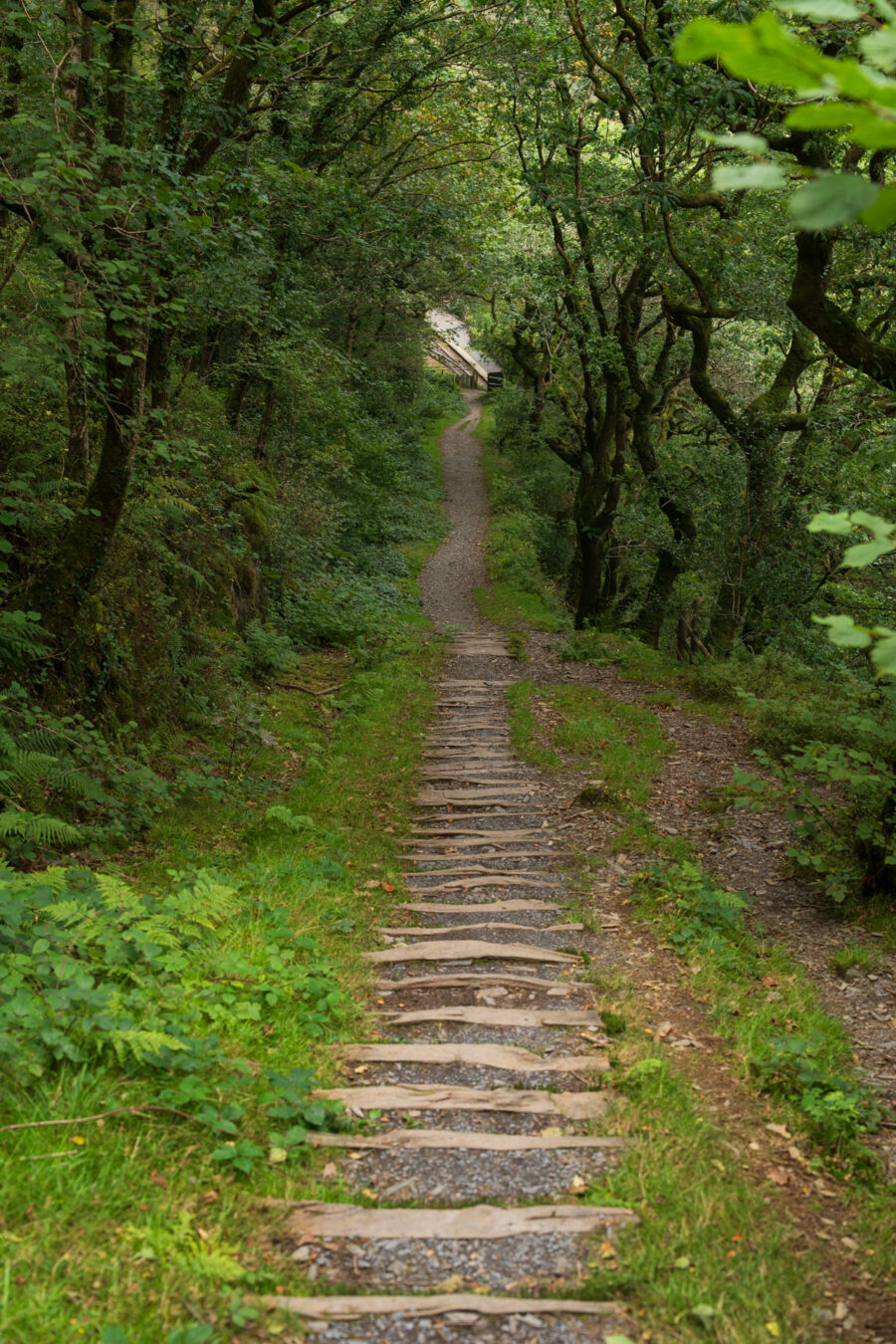
If you’re coming from the car park, there’s no need to cross the bridge unless you want to enjoy the lovely view of the falls and woods. Instead, take the steps on the left and climb up, following the blue and yellow trail signs.
Note: If you’re arriving from the train station or the red trail, you’ll need to cross the bridge and then turn right for the steps.
Bridge and Yellow Trail Loop
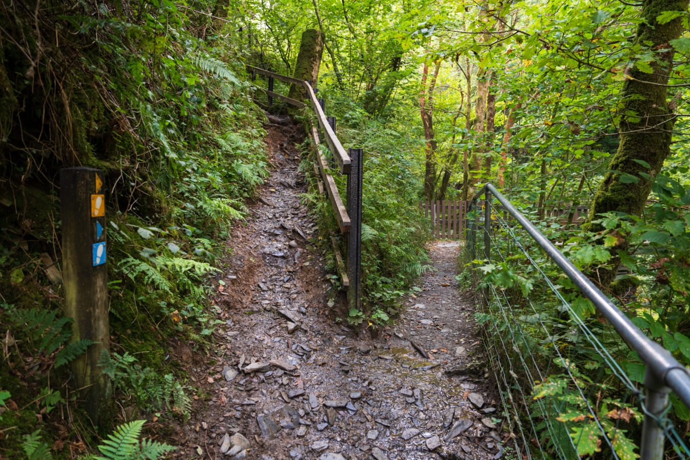
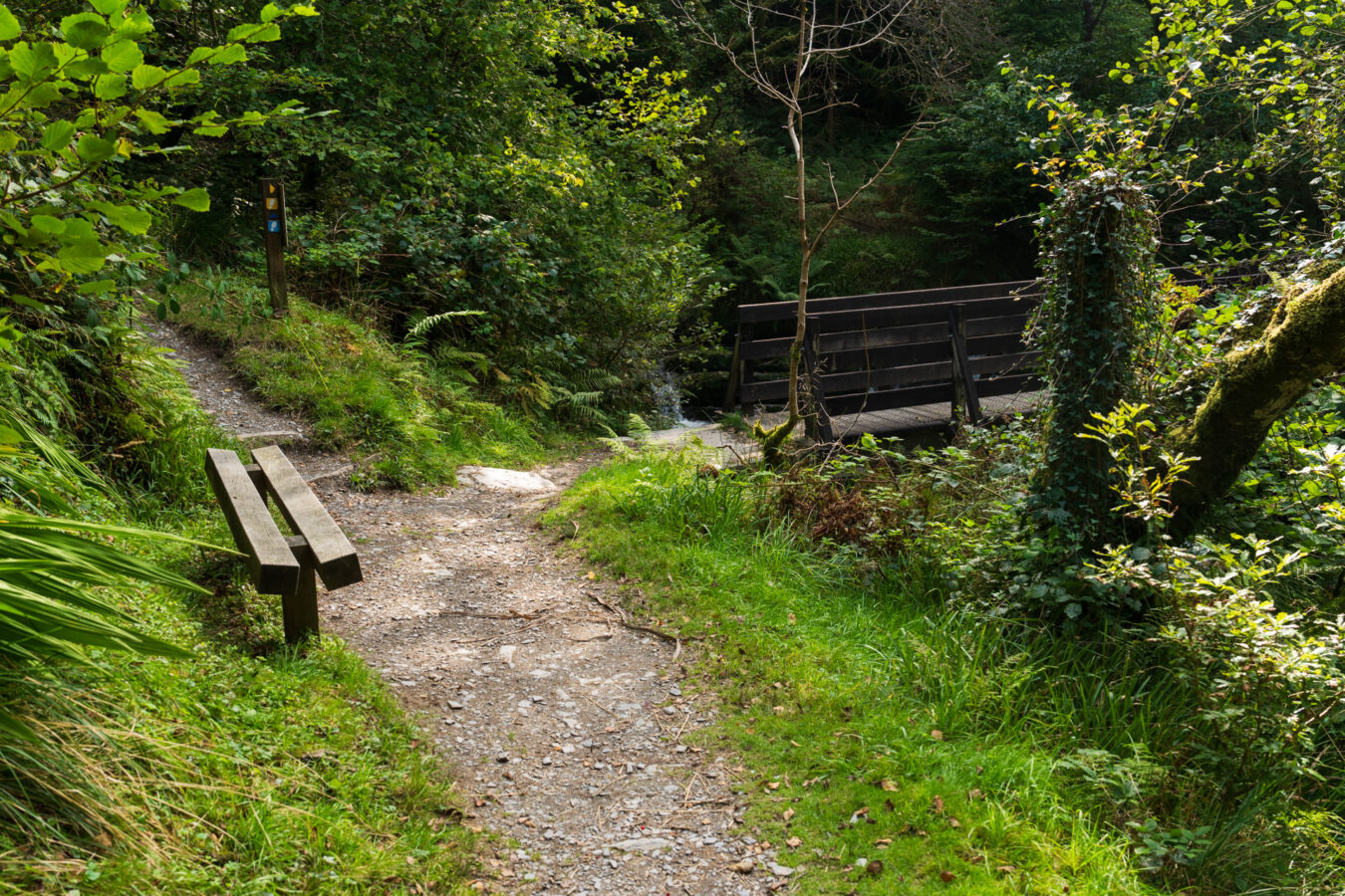
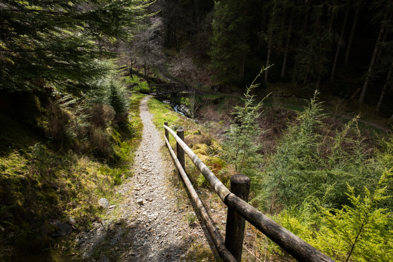
Keep walking for approximately 15 minutes. You’ll cross a few small bridges along the path until you reach a larger one that spans the Nant Gwernol stream. This is where the yellow trail loops back towards the station. There is a bench here if you wish to rest.
Unless you decide to return, ignore the bridge and continue left, climbing more steps while following the blue sign.
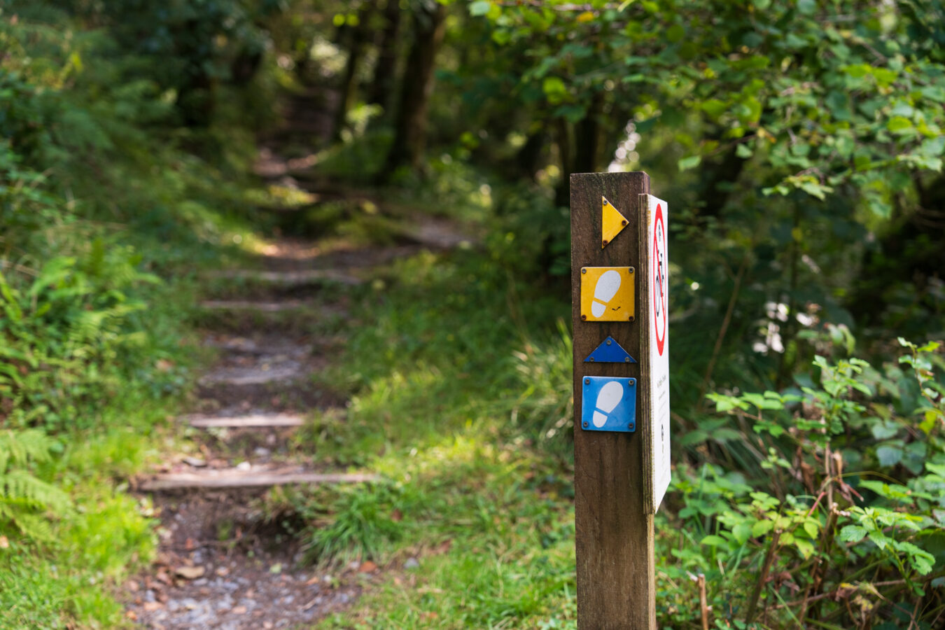
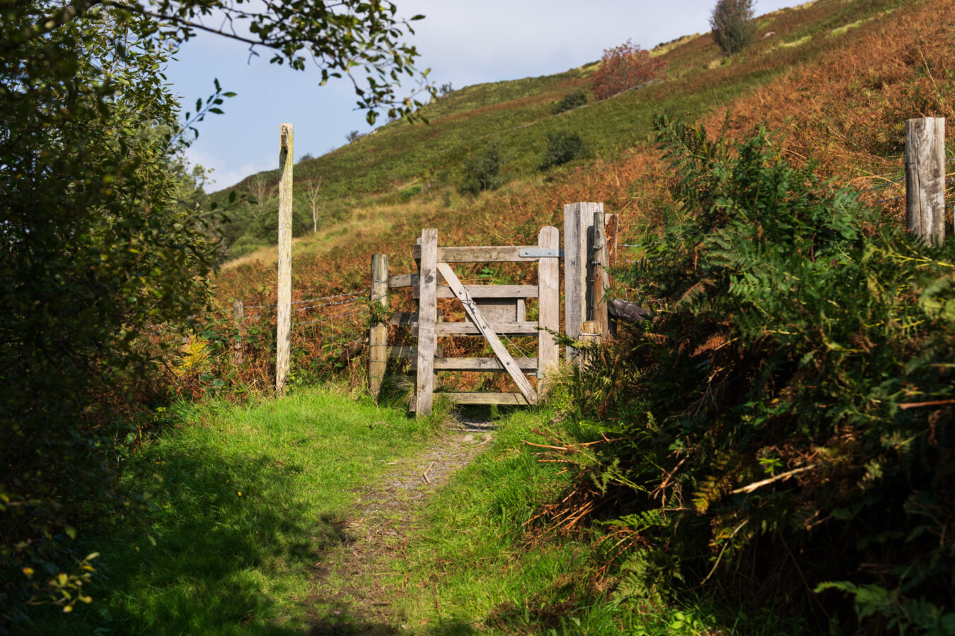
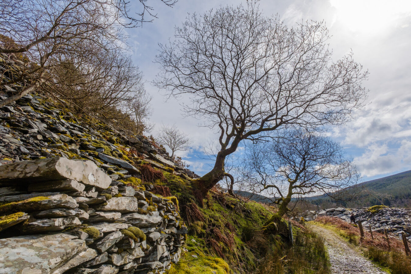
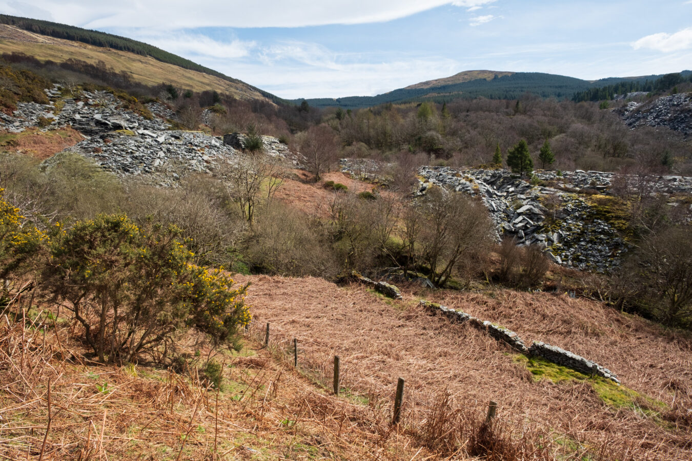
As you ascend, you’ll begin to notice slate stones in the distance, scattered across the hills. This section of the path ascends quickly, with some twists and turns, until you reach a dirt road with a gate. Cross the gate and turn right, continuing along the unmarked road for five minutes.
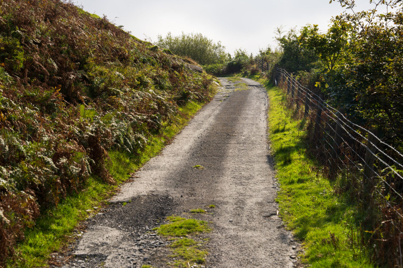
You’ll come to a large intersection where another dirt road descends through a gate. The blue trail continues straight ahead, between the dirt road on the left and thick bushes.
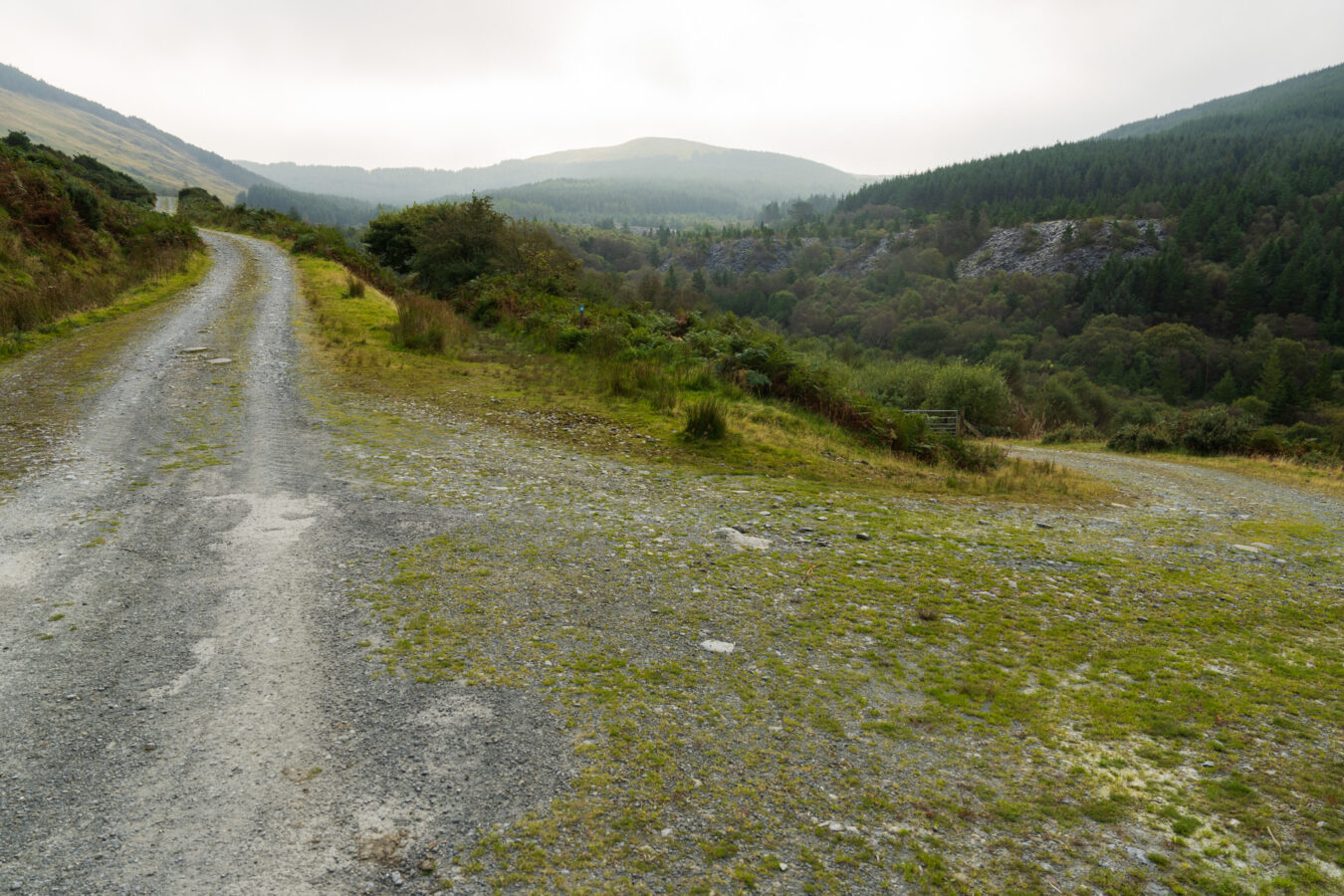
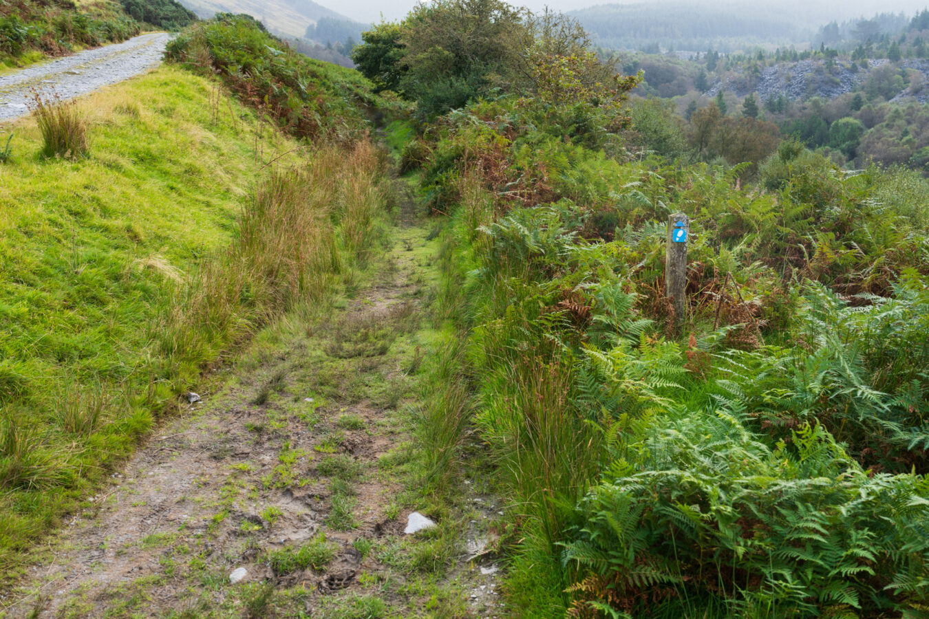
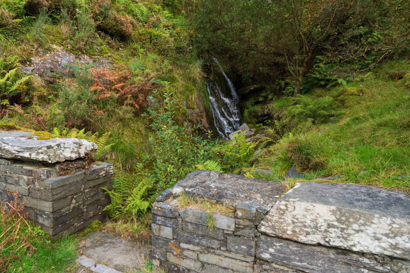
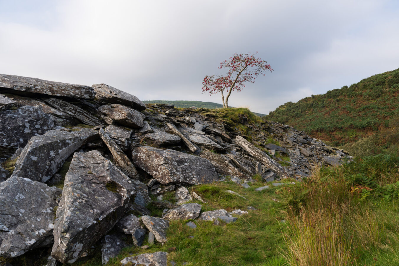
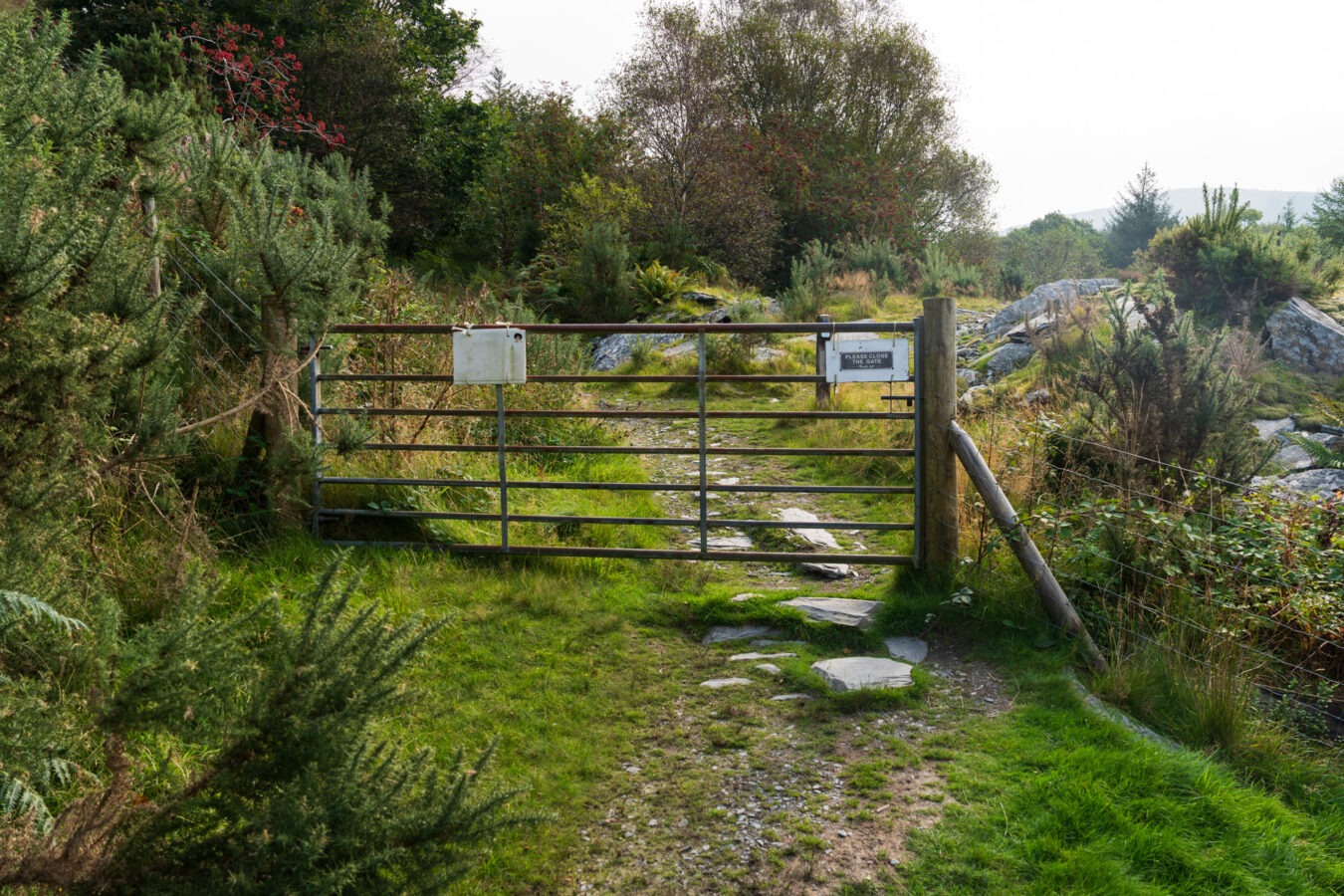
The scenery becomes more dramatic as slate dominates the landscape. You’ll pass a small waterfall on your left, just behind a short wall, where the path makes a sharp 90-degree turn. Keep going, and you’ll soon see a large metal gate, which you’ll need to pass through.
The Quarry
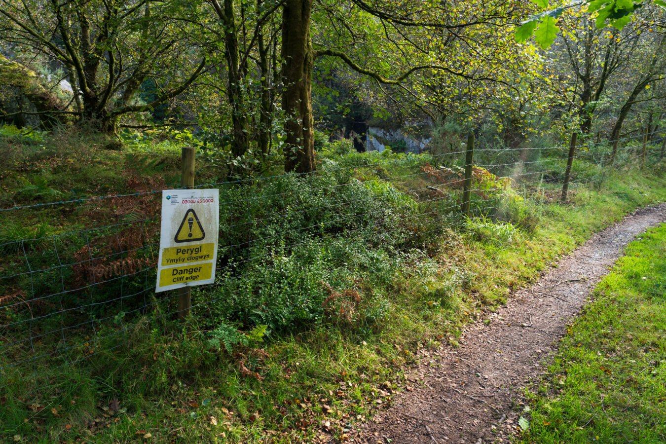
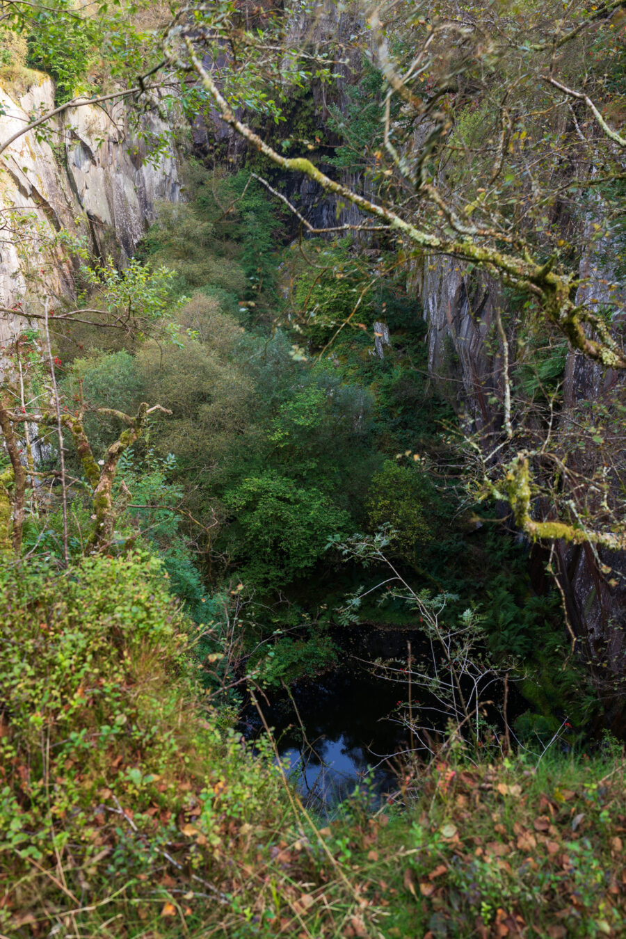
The path narrows as you approach the large quarry hole. The area is fenced off for obvious safety reasons, and the vegetation obstructs a clear view, but it remains a spectacular sight that transports you back to the location’s history.
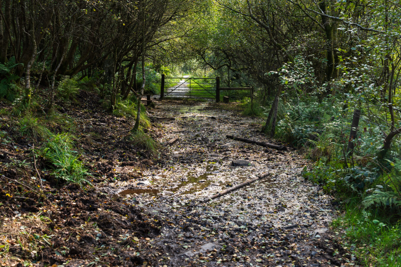
Continue for another 100 metres or so until you reach another metal gate. The path just before the gate is often very muddy, so take extra care. You can try walking on the left, where some trees may help you avoid the muddiest sections. Pass the gate and carry on.
Nant Gwernol “Secret” Waterfall
If you’d like a little challenge, there is a hidden spot worth checking out, but it isn’t signposted anywhere. Locals like to keep this place as secret as possible, so I won’t give detailed, step-by-step directions on how to find it. I also believe that locating it yourself will make the discovery more rewarding. The key is to walk slowly, stop, and listen. You should hear the sound of falling water nearby. You’ll need to find the right place where you can leave the main path and climb up a slope. (take care, as it can be a bit slippery and unstable). Once at the top, finding the waterfall is fairly straightforward.
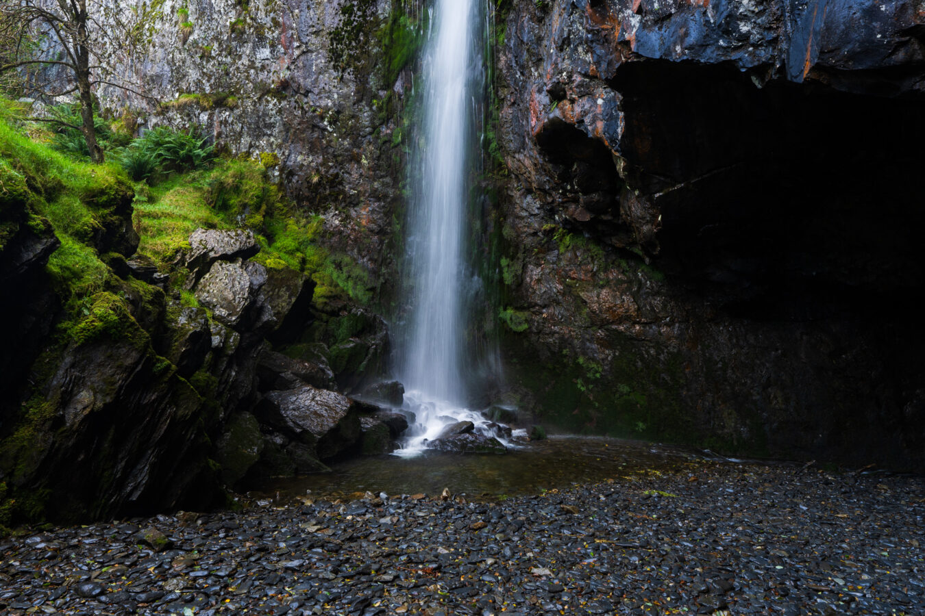
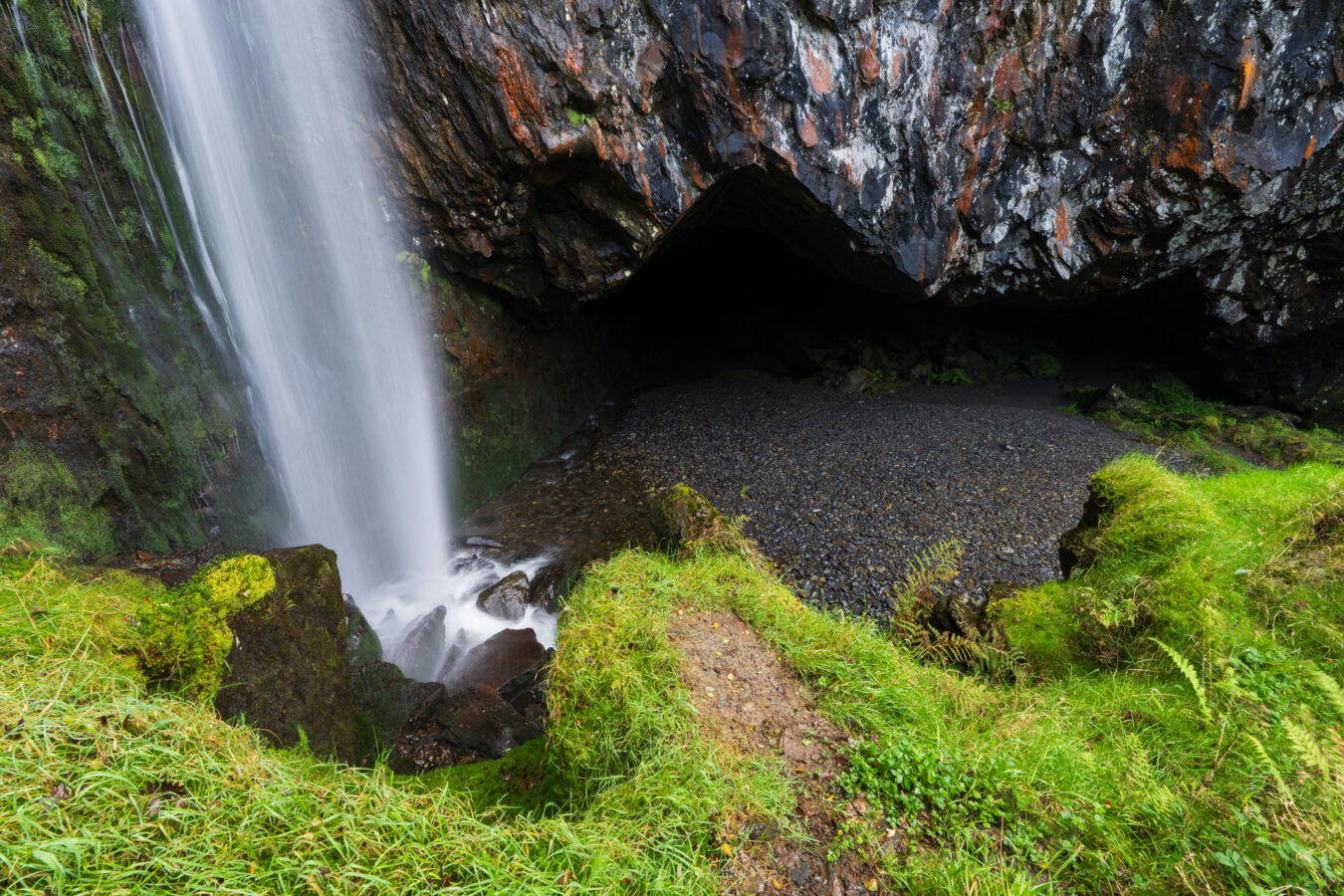
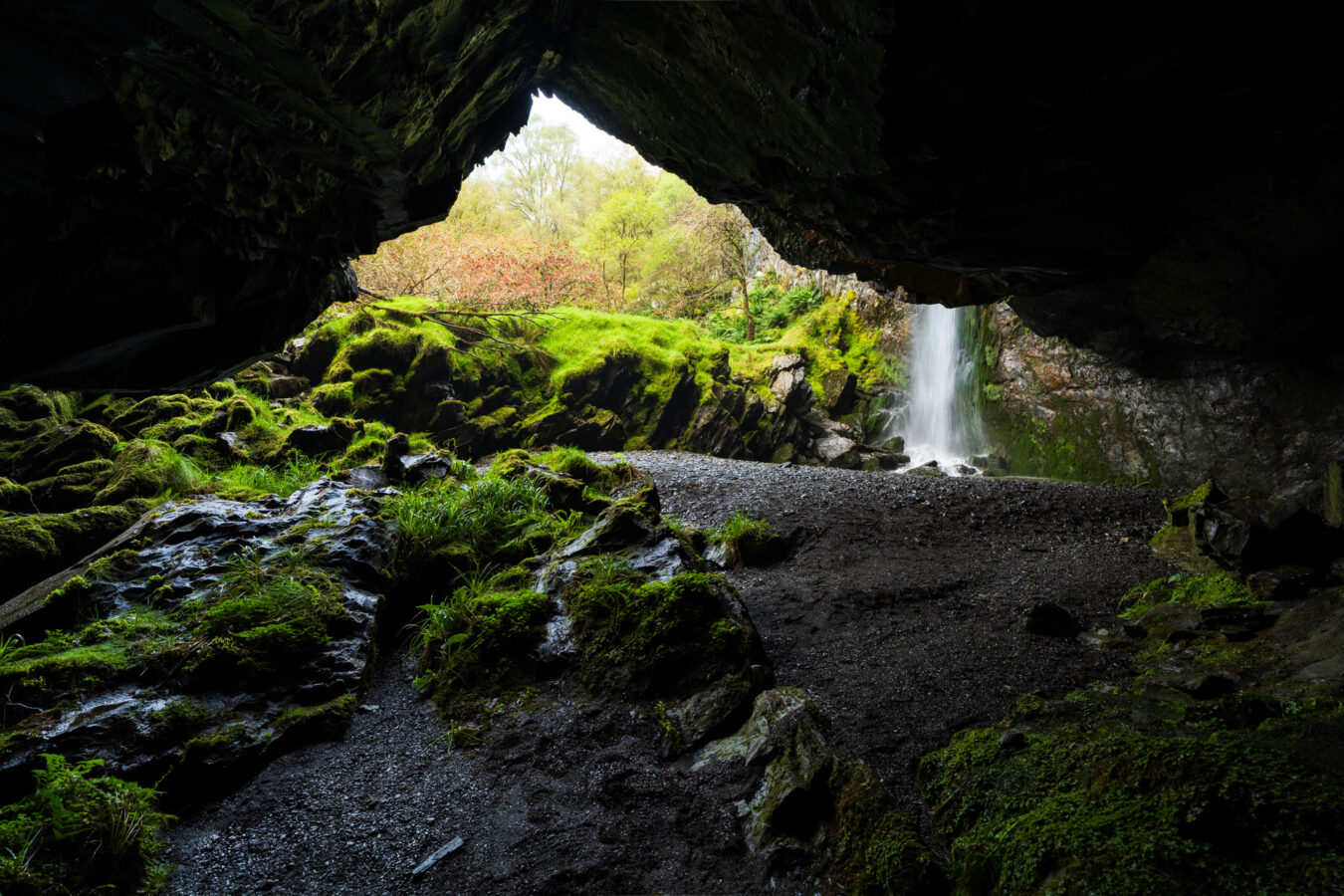
I’ve put “secret” in quotation marks because, although the waterfall isn’t mentioned on the trail or in official information panels, it has gained popularity through social media, YouTubers, and vloggers. When I arrived, I quickly realised I wasn’t alone—three other people were already there, despite it being a cloudy weekday in September.
Once you’ve finished savouring this magical place, retrace your steps back to the main path and re-join the blue trail.
safety NOTICE
Please be extra careful when descending to the bottom. The rocks are sharp and wet, requiring cautious climbing. I would advise against bringing young children due to the potential hazards.
Quarry Stories
Keep following the blue path, and you’ll arrive at a large area where a dirt road begins, allowing forest service vehicles to turn around.
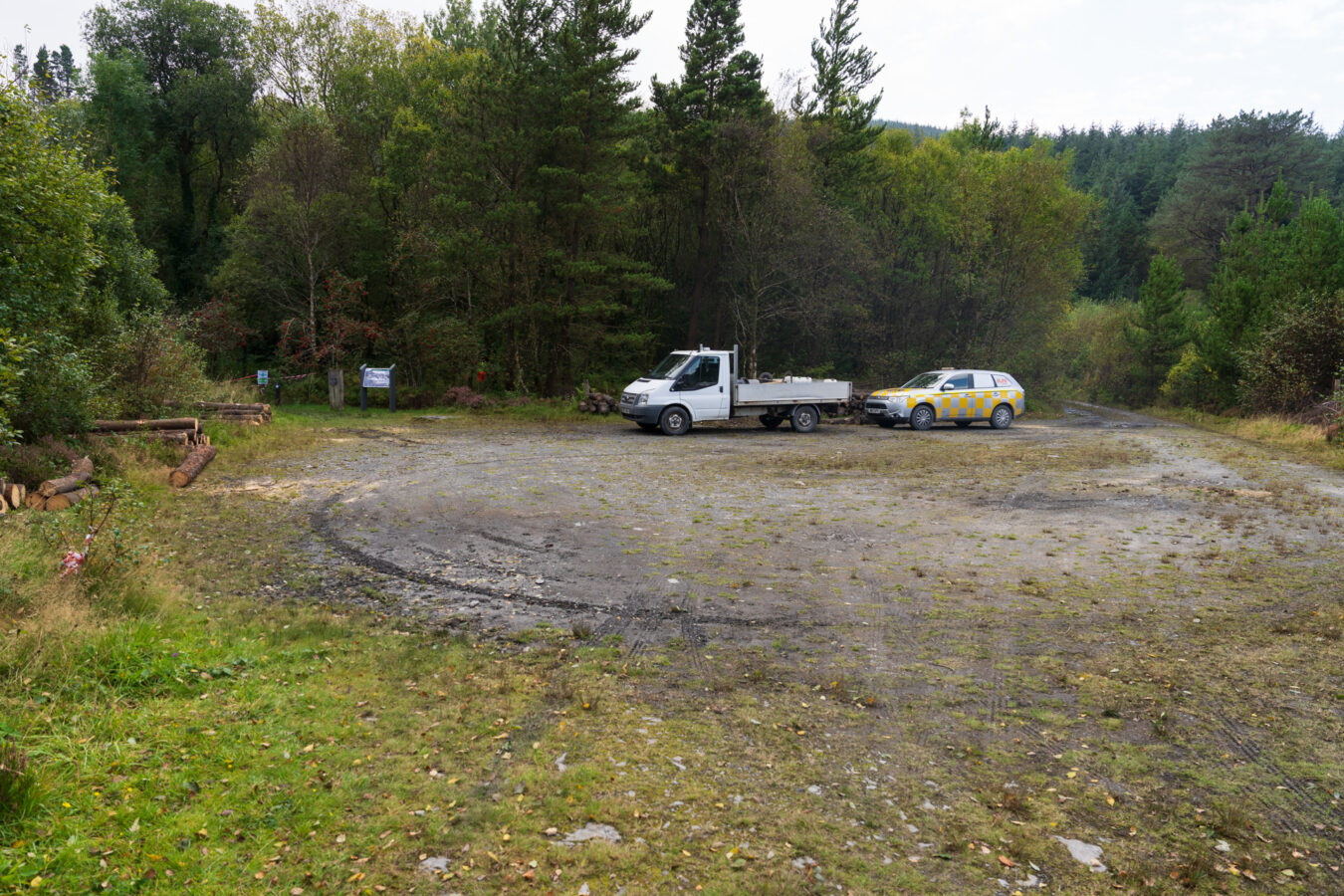
The path continues on the left, where you’ll find a history panel and a listening post totem. Here, you can read and hear about how large blocks of slate were split.
Continue through the woods, where you’ll encounter more information panels and listening posts, as well as the ruins of some quarry buildings and sheds. After approximately 600 metres, the trail joins the dirt road.
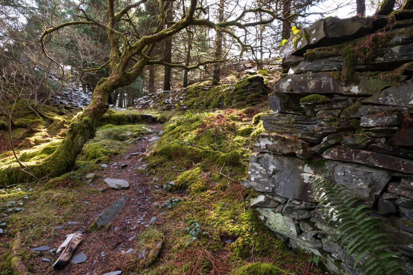
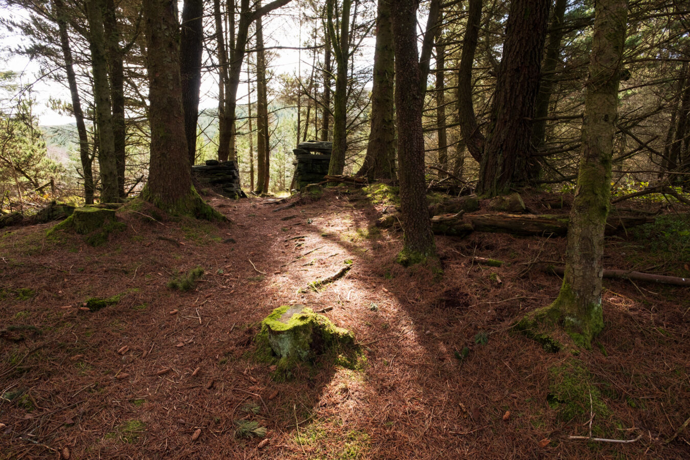
Note: The last time I visited, that section of the trail was closed due to forest operations, so I had to take the dirt road on the right. After a few minutes, the blue trail naturally merges with the dirt road, so you’ll know you’re on the right track.
Short vs Long Route Back
Ten minutes later, you can leave the dirt road and continue on the blue path to your right, beginning to walk downhill. You’ll pass more ruins on your left before arriving at another bridge. Once on the other side, you’ll see two possible directions: go left for the long route or turn right for the short route.
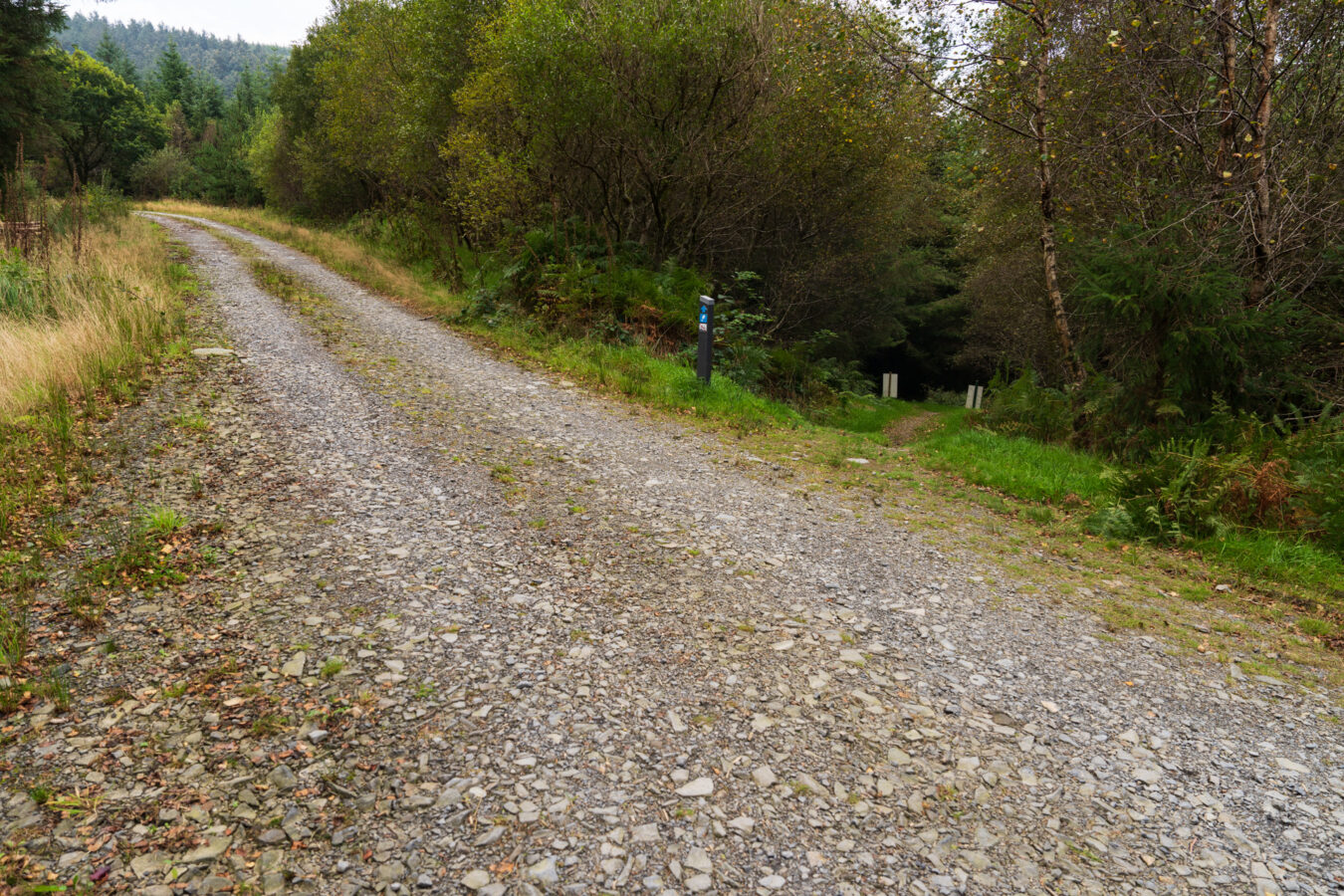
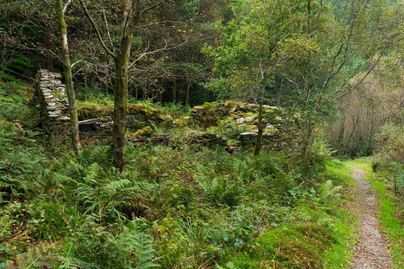
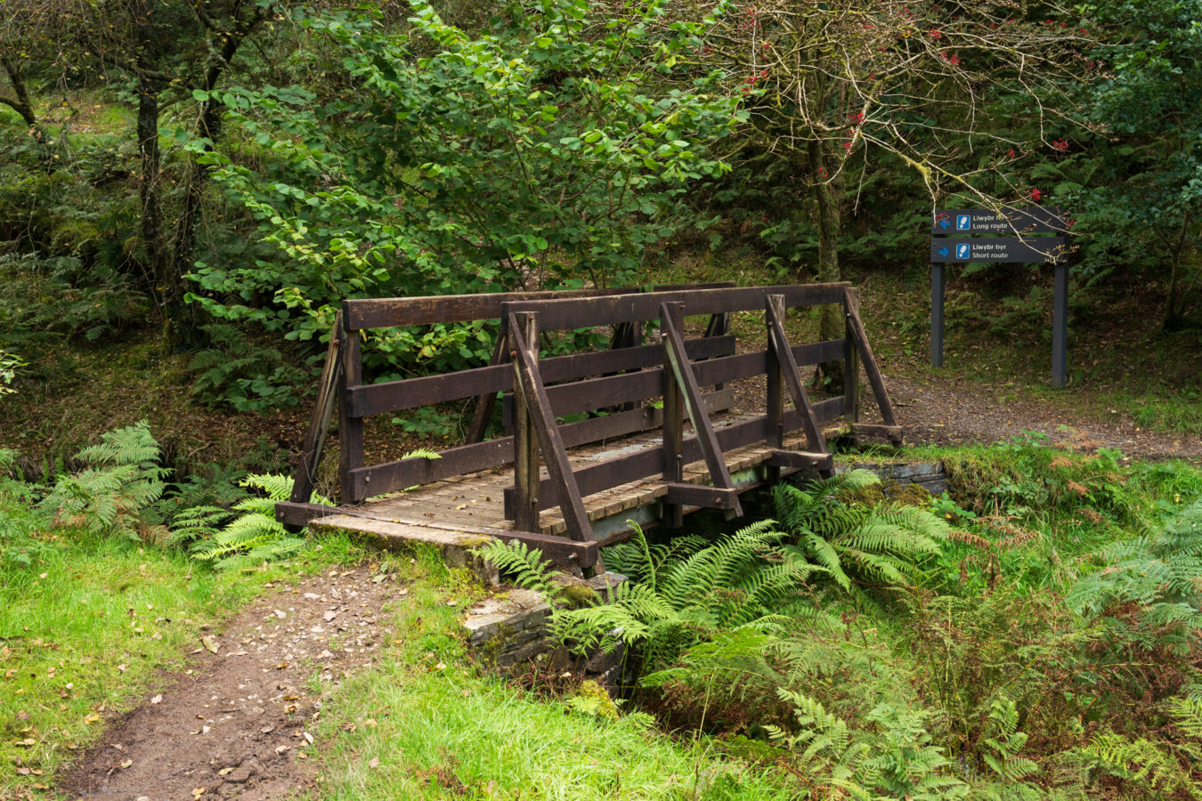
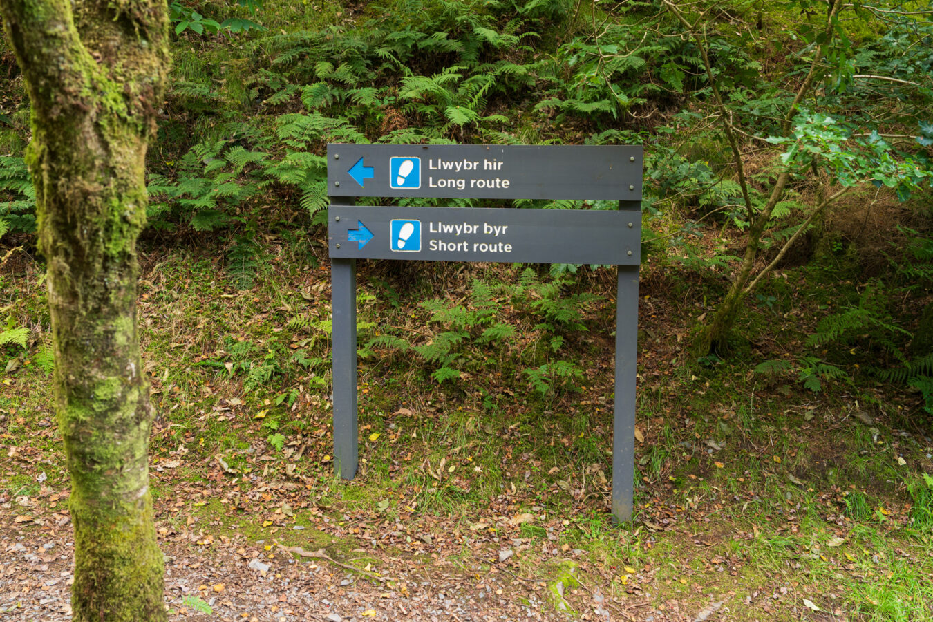
The long route (1.38 miles or approximately 40 minutes) takes you higher up along a mix of paths and dirt roads.
The short route is 0.6 miles and about 20 minutes faster. It connects to the yellow trail, where you’ll also find another history panel with a fascinating story about a brakeman and how he survived an accident in which the tramway carrying slate down the slope ran out of control.
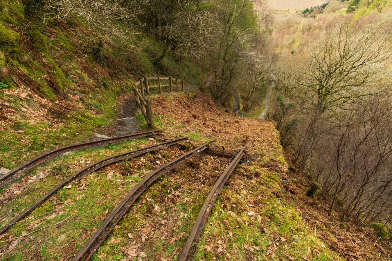
As you approach Nant Gwernol station, both routes will meet the red trail that connects the two stations. You’ll then go down a series of steps to arrive at the station. From there, you’ll recognise the first bridge you saw at the beginning of your walk and can make your way back to the village or wait for the steam train.
A Photographer’s Paradise
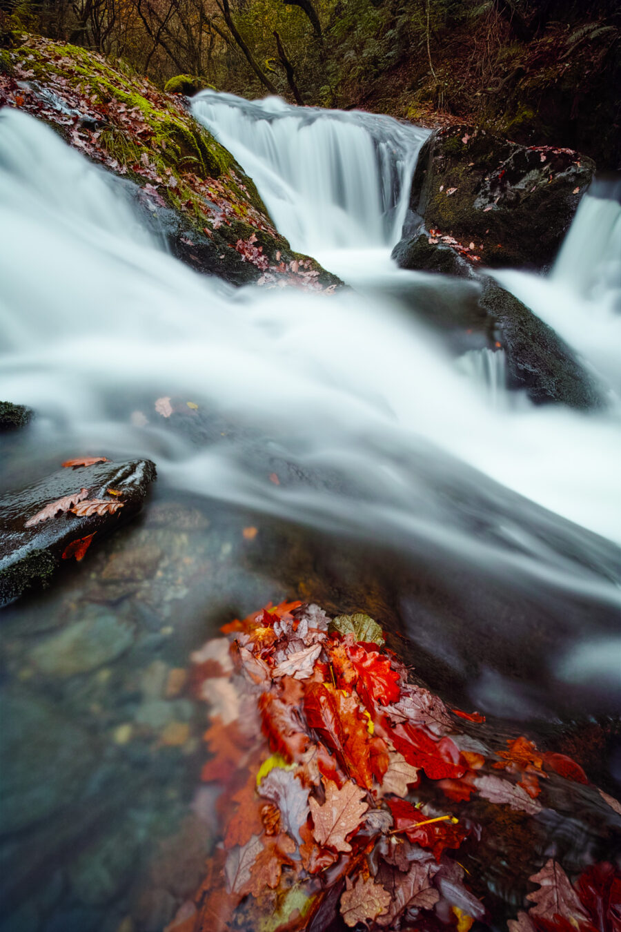
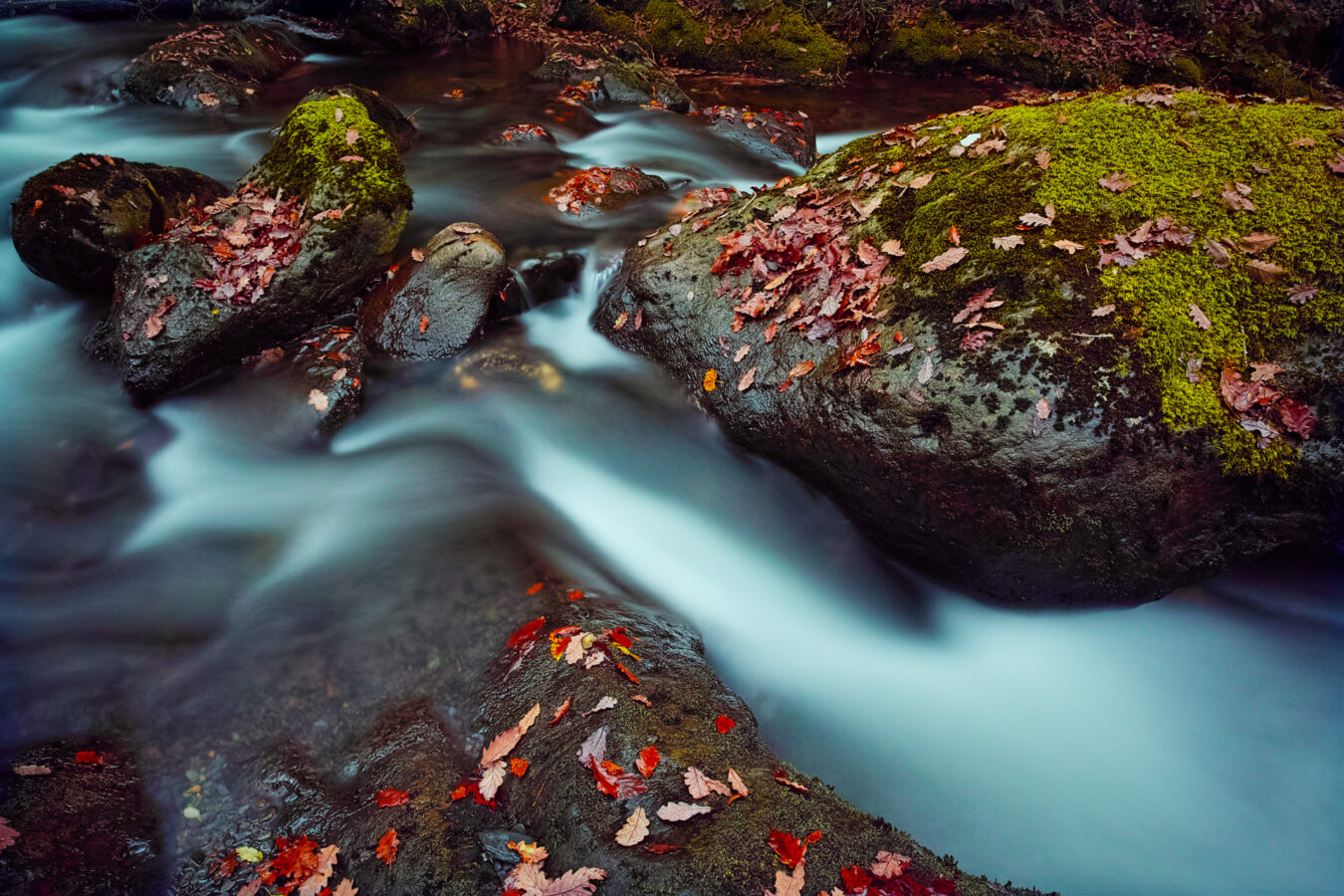
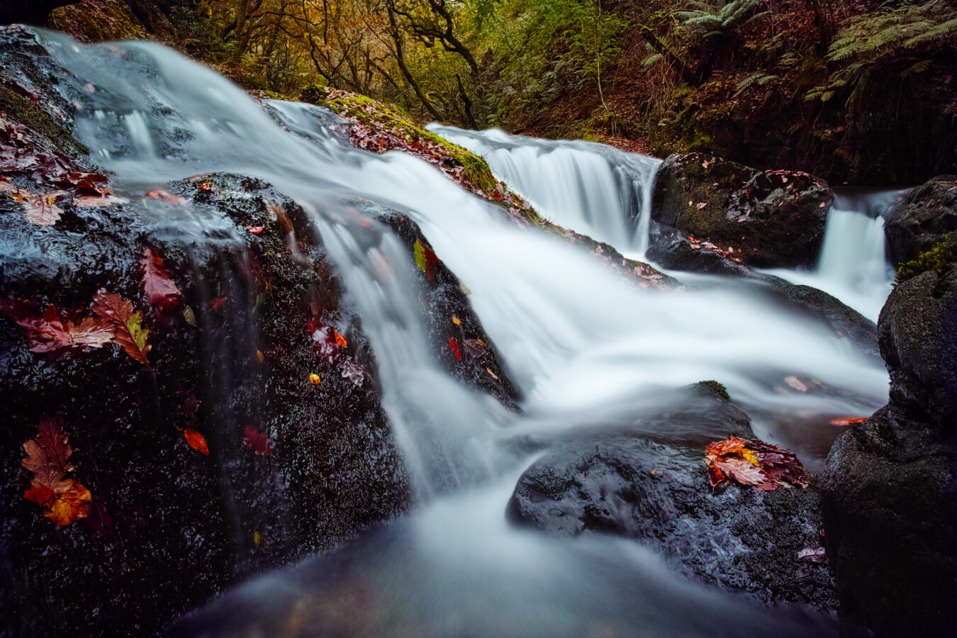
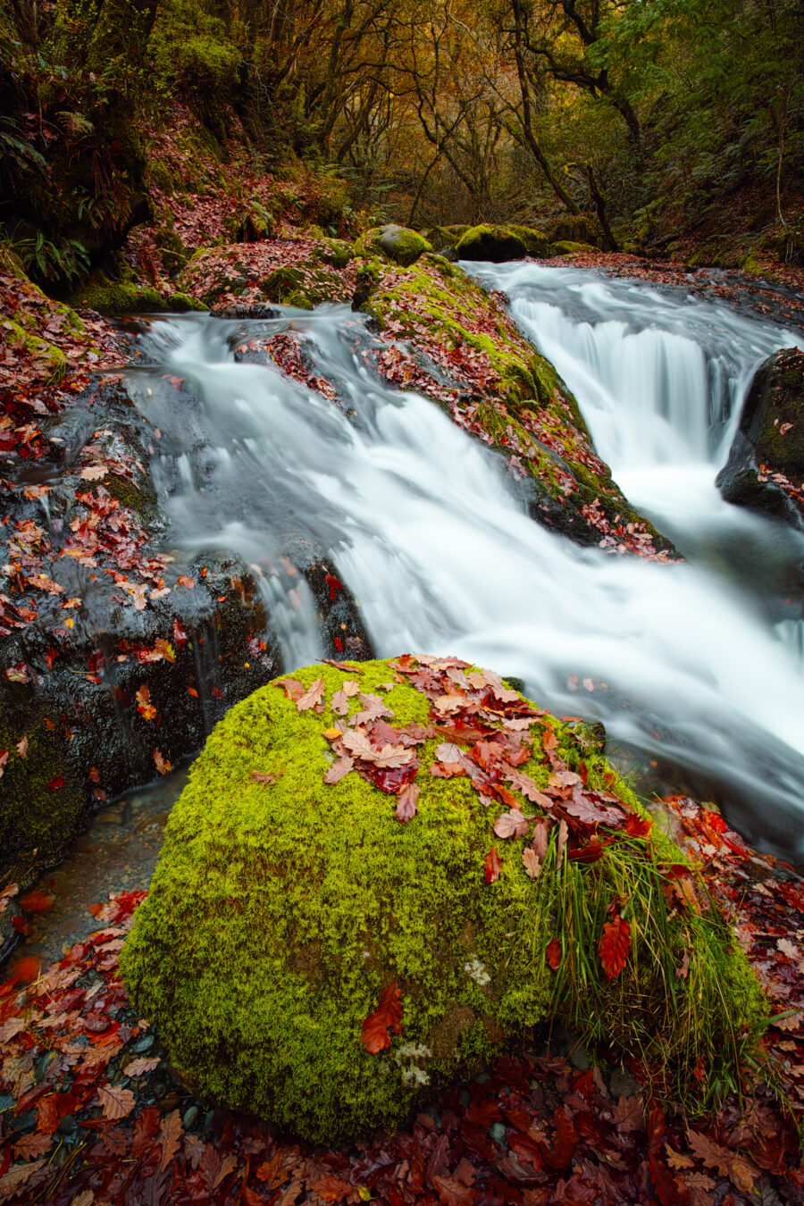
The stream and numerous waterfalls provide excellent opportunities for photographers, especially if you have a tripod and some filters to achieve long exposures and create a smooth, silky effect on the water. Some smartphones also offer a similar built-in effect.
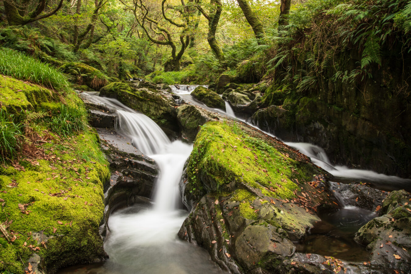
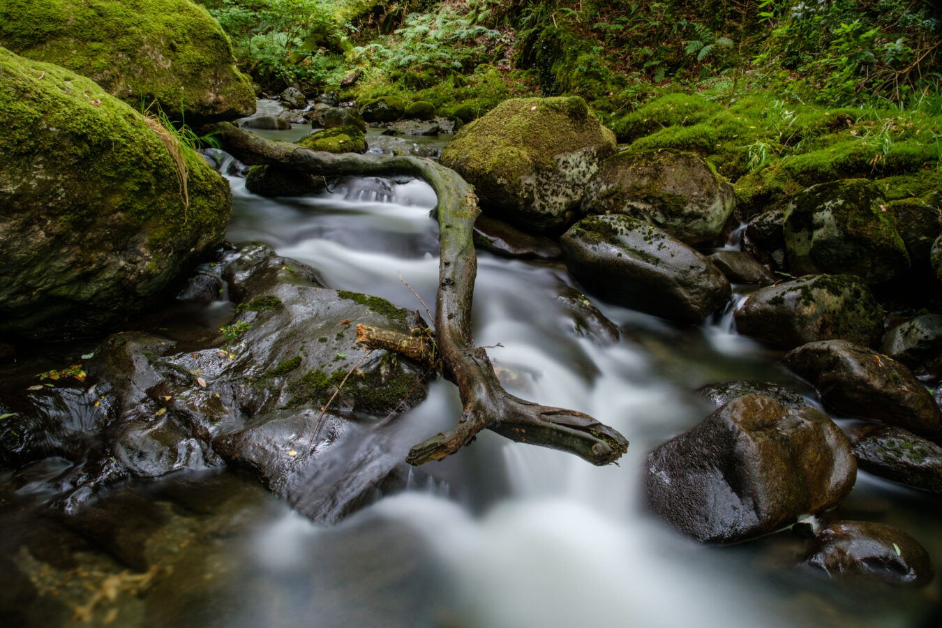
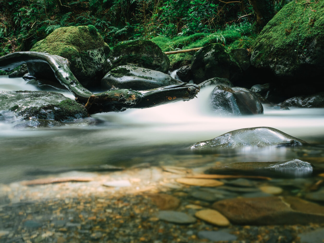
In autumn, the area becomes a haven for photography, as the red, orange, and yellow leaves create stunning colours to capture.
A Well-Deserved Pint at The Railway Inn
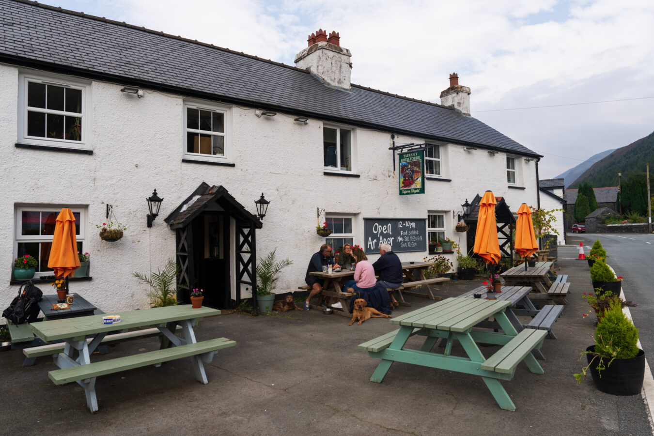
If you’re not in a hurry to catch the train or bus, I suggest stopping at the Railway Inn in Abergynolwyn for a drink, or even a meal if the kitchen is open. It’s a lovely family-run pub that serves local ales and offers delicious food that differs from traditional pub meals. The atmosphere is warm and inviting, making it the perfect ending to a two-hour hike.
