The Wales Coast Path traces the whole of Wales’ coastline, stretching an impressive 870 miles from north to south. It holds the distinction of being the first path in the world to follow a country’s coastline in its entirety.
Among the many sections of the path, a particularly scenic walk begins in the picturesque seaside village of Aberdyfi and ends in the market town of Machynlleth. This route offers stunning views of the valleys and the Dyfi estuary, alongside an immersive journey through forestry plantations. The trail features a mix of tarmac rural roads, fields, footpaths, and dirt tracks.
The hike is 12 miles long and can also be walked in the opposite direction, from Machynlleth to Aberdyfi. While not technically challenging in terms of terrain or hazards, it is a lengthy walk with significant ascents and descents, a few narrow paths as well as some muddy sections.
IN A NUTSHELL
Aberdyfi To Machynlleth Hike
How long is it? The hike is approximately 12 miles long, with two main ascents reaching up to 260m (850 ft). It will take between five and six hours, depending on your pace and the number of stops.
How easy is it? This is not a particularly difficult hike, with a mix of tarmac and dirt roads, and clear signage along the route. However, it is a long walk with some steep ascents and muddy sections. Be sure to wear appropriate footwear and bring water and snacks. As the weather in Wales can change quickly, pack a few layers and a rain jacket.
Can I bring my children? On average, older children (aged 8–10 and above) should be able to manage a hike of this length, but only you can determine what is best for your child and their ability to handle the effort involved.
Accessibility: the initial section starting from Aberdyfi is on tarmac, but the climb to the top of the hill, where the Panorama Walk begins, is steep. It is possible to drive or arrange a lift to the top, making it more accessible for wheelchair users to enjoy the view of the Dyfi estuary and cover a shorter distance. However, keep in mind that while on tarmac, the road includes inclines that may be challenging. Beyond the farm, the road transitions to dirt.
Where can I park my car? Aberdyfi offers several parking options, including three Pay & Display car parks in the town. The main car park also has 22kW EV charging points available.
Can I get there by public transport? Yes, the G21 bus service, operated by Lloyd Coaches, stops in Aberdyfi and connects Machynlleth to Dolgellau. Additionally, the main railway line between Birmingham and Pwllheli includes stops in both Aberdyfi and Machynlleth.
Are there any amenities nearby? Both Aberdyfi and Machynlleth have a good selection of food and drink options, as well as public toilets. However, there are very few amenities along the route itself. Pennal is your only option for toilets and refreshments; however, the restaurant’s opening times may vary depending on the season.
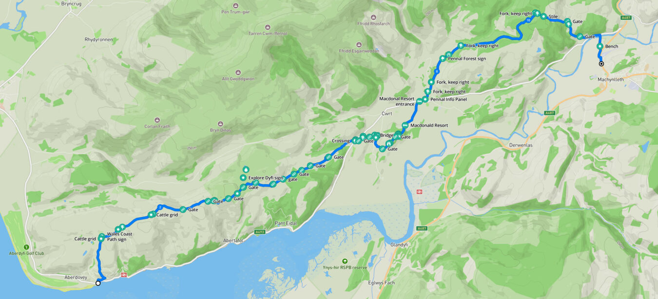
Aberdyfi To Machynlleth Hike – Map And Route
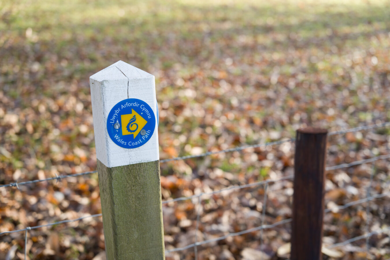
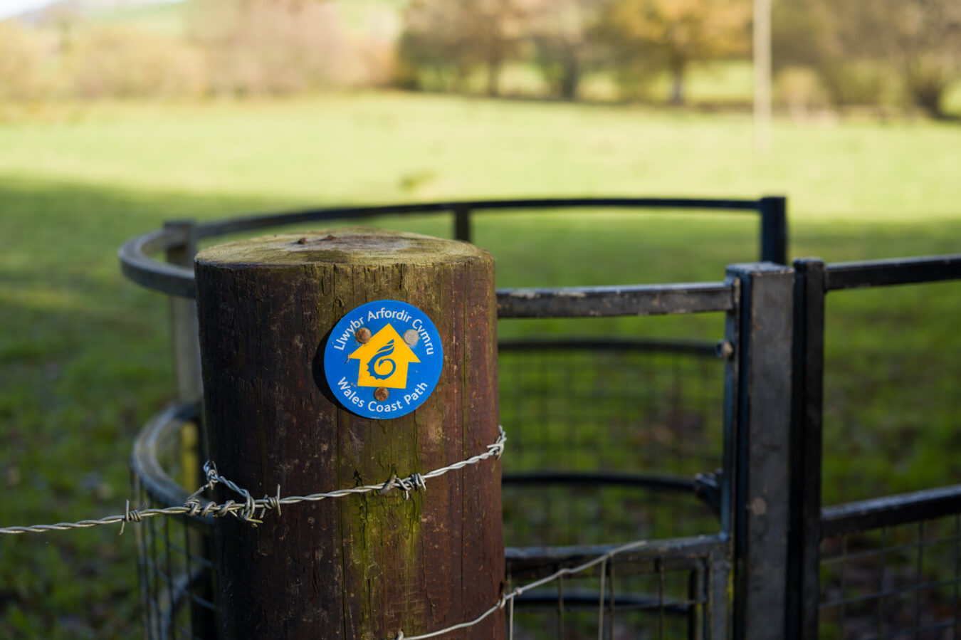
The route begins in the centre of Aberdyfi. From there, you’ll need to walk uphill along the road until you reach the start of the Panorama Walk. From this point, you can follow the small blue and yellow Wales Coast Path signs all the way to your destination.
Along the way, you’ll pass near Bearded Lake before descending to Cwrt, then through the small town of Pennal. The trail continues with another ascent through Coedwig Pennal (Pennal Forest) before finally descending towards Machynlleth.
You can easily reverse the route, starting in Machynlleth and making your way to Aberdyfi instead.
Free PDF guide!
- If you subscribe to our newsletter, you’ll get access to our exclusive members’ area, where you can download a mobile-friendly PDF guide and a GPX file of this walk.
How To Get To Aberdyfi or Machynlleth
You can easily reach Aberdyfi or Machynlleth by car or public transport.
By Car
To reach Aberdyfi, take the A493 from Machynlleth or Dolgellau. The town offers three Pay & Display car parks. The largest is located in the centre, with additional spaces available near Neuadd Dyfi and on Terrace Road (Penhelig) at the eastern end of town. The central car park also features four 22kW electric vehicle (EV) chargers, managed by Evolt (formerly Swarco).
See Aberdyfi’s main car park on
Google Maps – Apple Maps – what3words
Machynlleth is accessible via several roads that connect Aberdyfi, Dolgellau, Newtown, and Aberystwyth. The main car park is situated in the town centre, just south of the high street (Heol Maengwyn). This car park includes several EV charging points, including a few 50kW rapid chargers. Additional parking is available at Y Plas (Celtica car park), which is free of charge.
See Machynlleth’s main car park on
Google Maps – Apple Maps – what3words
By Train
For those using public transport, the main railway line connecting Birmingham to Pwllheli (Llŷn Peninsula) stops in both Aberdyfi and Machynlleth. This is an ideal option if you wish to return to your starting point after completing the hike.
Aberdyfi’s main station is located near the golf course, while Penhelig station, a request stop, serves the eastern side of the town.
Machynlleth station is conveniently situated next to the Texaco petrol station. Trains also connect Machynlleth with Aberystwyth. For schedules and details, refer to the Transport for Wales website.
By Bus
The G21 bus service, operated by Lloyd Coaches, runs between Aberdyfi and Dolgellau, passing through Machynlleth. This bus is another option for returning to your starting point after the hike, but bear in mind that it doesn’t run in the late afternoon or evening.
Machynlleth is additionally served by several other bus routes, including the FF2 (Aberllefenni), T2 TrawsCymru (Aberystwyth), Y12 (Wrexham), G24 (Dolgellau / Tywyn) and 36 (Dinas Mawddwy).
For more details, visit the Lloyd Coaches website or plan your journey via Traveline Cymru.
The Hike: Aberdyfi To Machynlleth
Starting from Aberdyfi – 0 mi
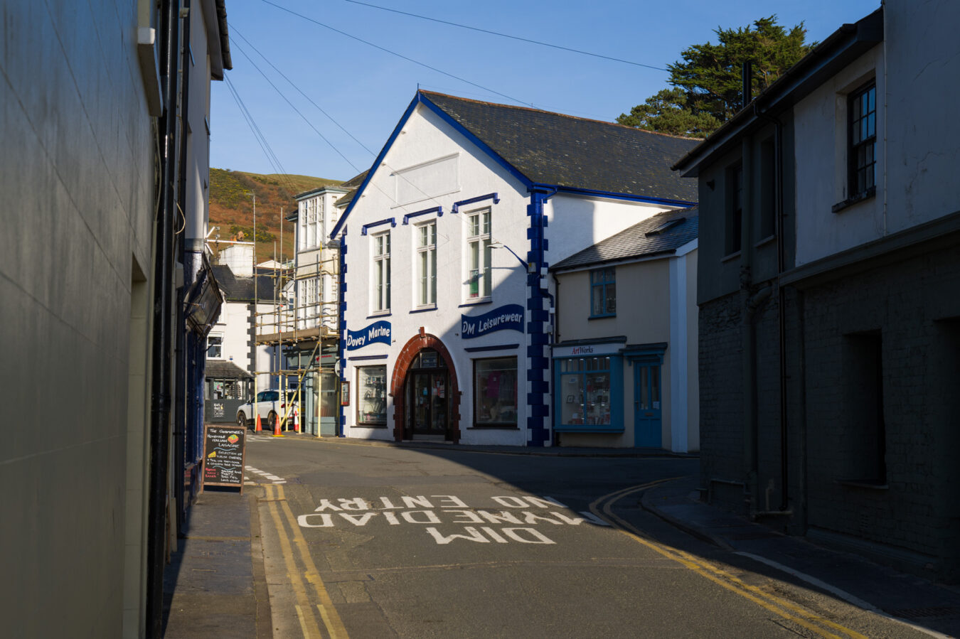
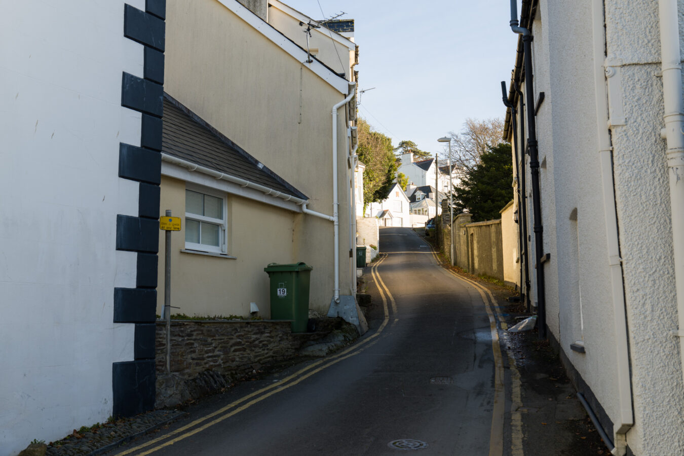
Starting from the centre of Aberdyfi, where the information centre is located, walk along the High Street (Terrace Road) towards the east and take a left onto Copperhill Street, where the Coast & Deli restaurant is situated on the corner. Continue for about 60 metres, passing the Dovey Marine shop. Then, turn right into Church Square and head up Church Road. After 200 metres, take a sharp left and follow the road as it winds up the hill. You’ll pass Aberdyfi Hillside Park on your right, before reaching the speed limit signs indicating you are leaving the town.
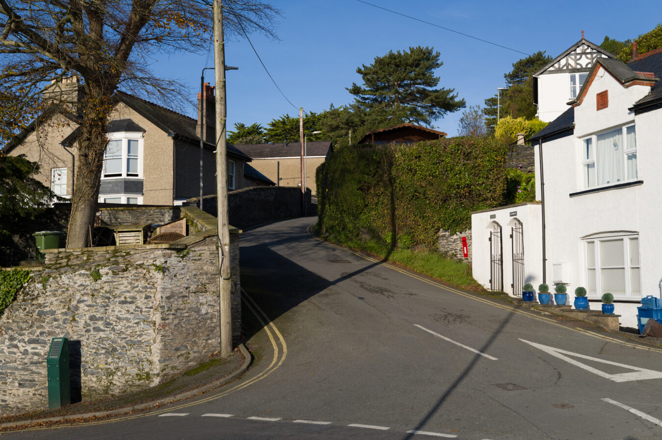
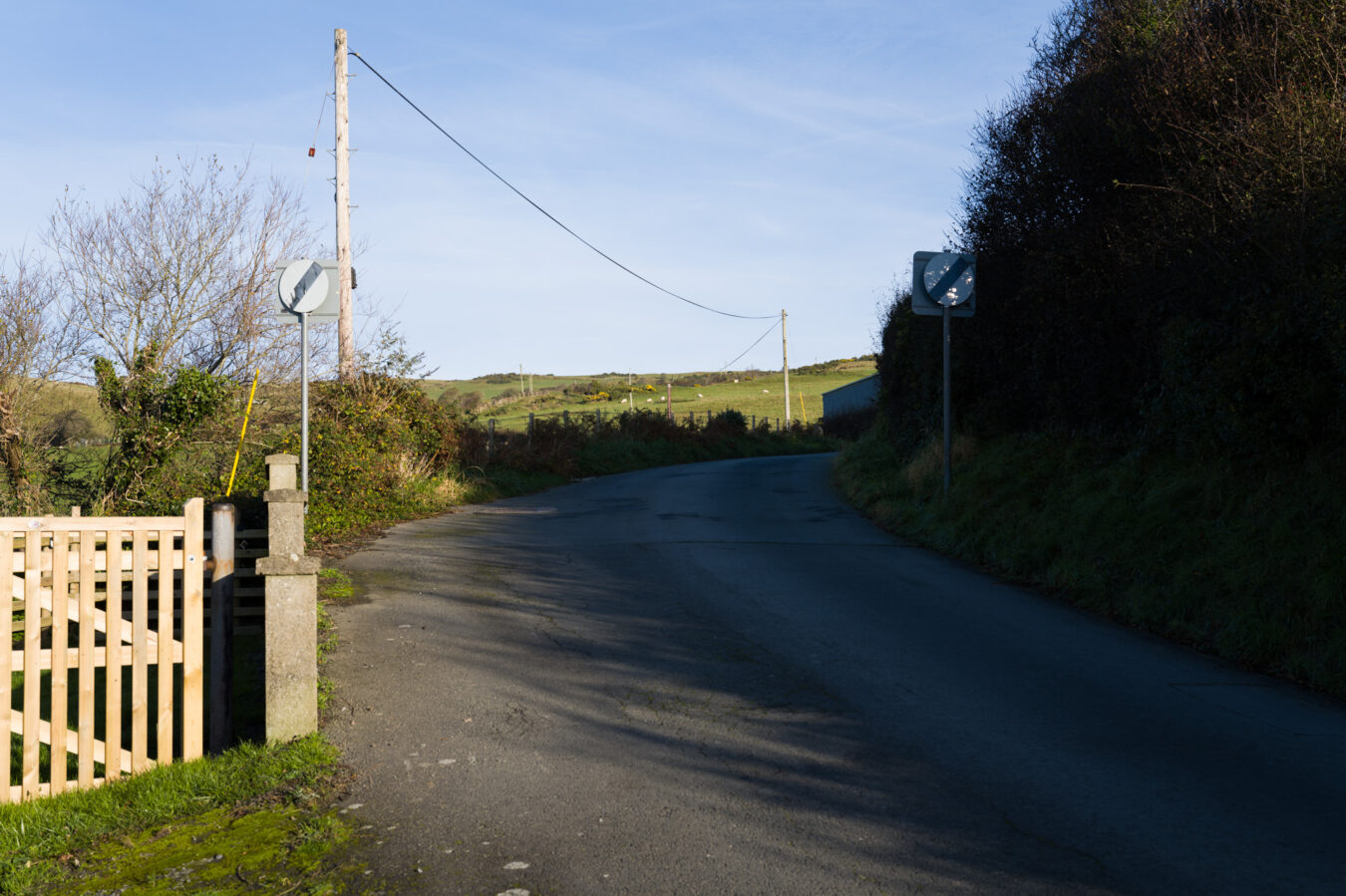
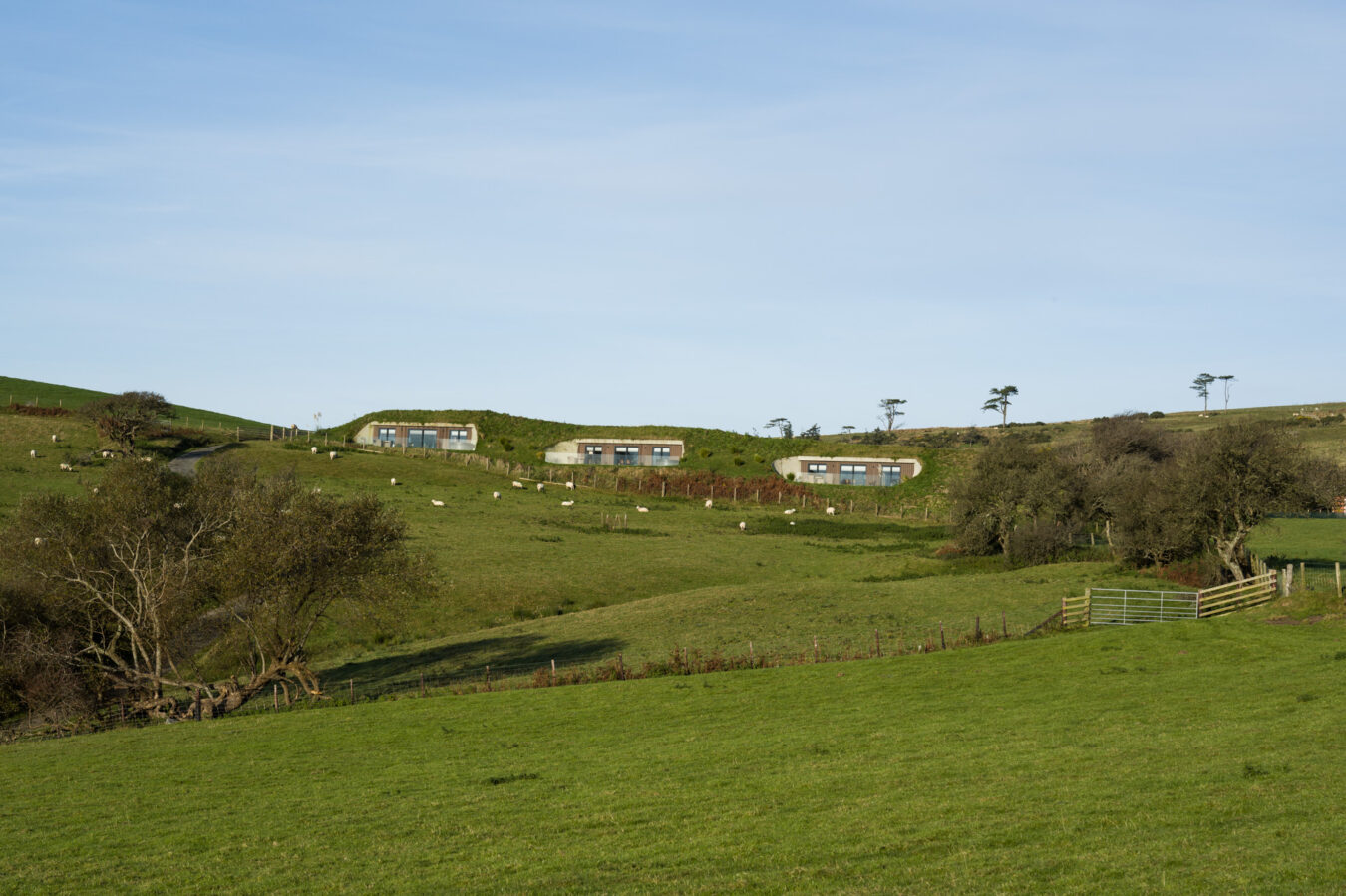
Keep following the road as it continues uphill. You will pass the Willow Hill Luxury Pods sign on your right (the pods themselves can be seen in the distance on the opposite side), before reaching a small intersection with a sign pointing towards Bearded Lake. Turn right here, following the sign, where the Panorama Walk begins.
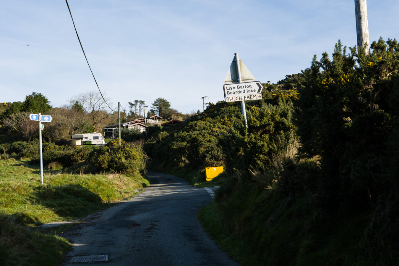
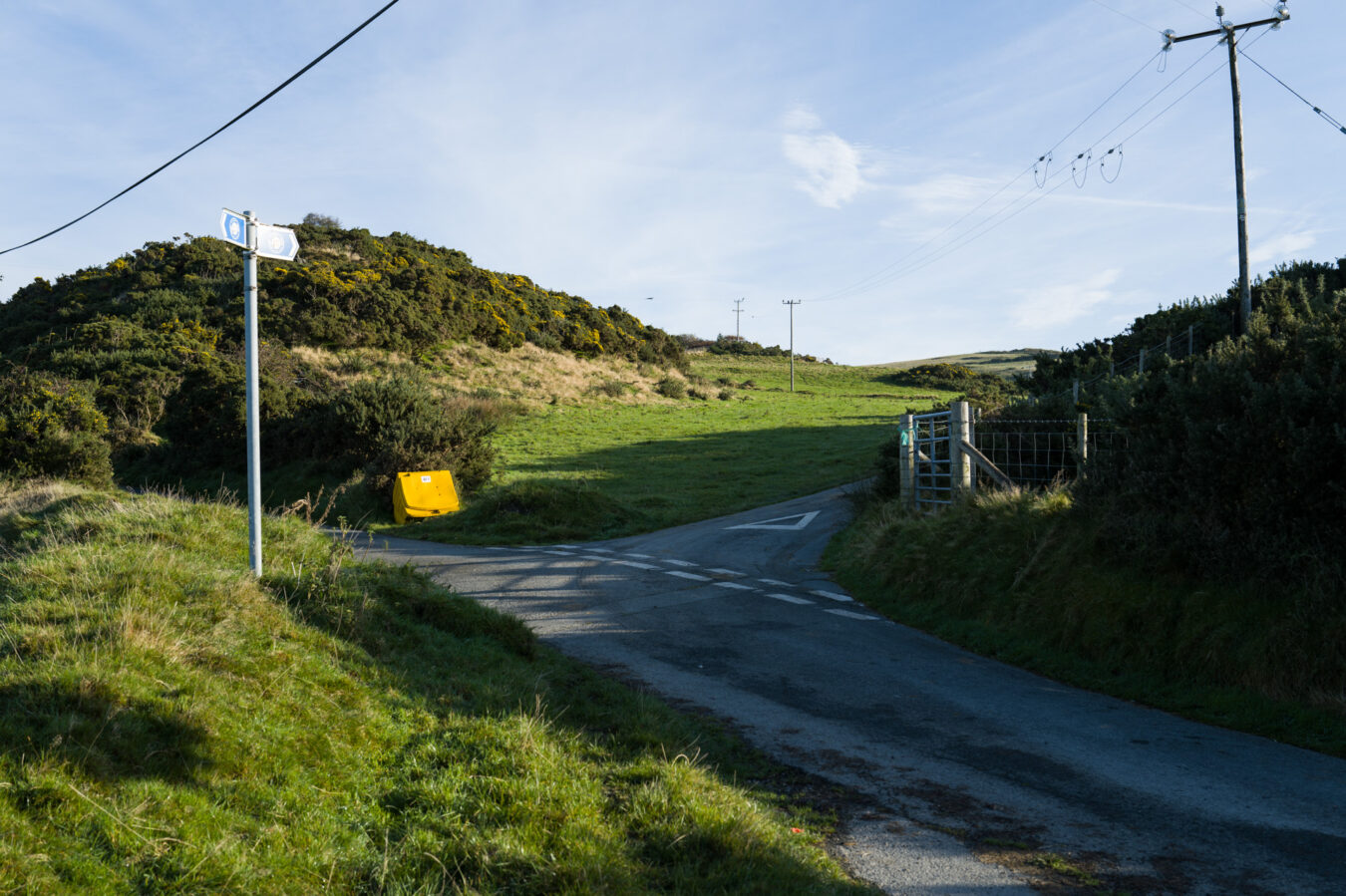
Beginning of Panorama Walk – 0.91 mi
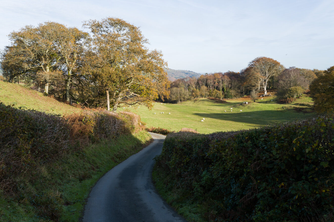
Continue along the narrow country road. You’ll cross a few cattle grids and gates, with signs confirming that you are still on the Coast Path. Enjoy the breathtaking views of the Dyfi estuary to your right and the beautiful Cwm Maethlon (Happy Valley) to your left.
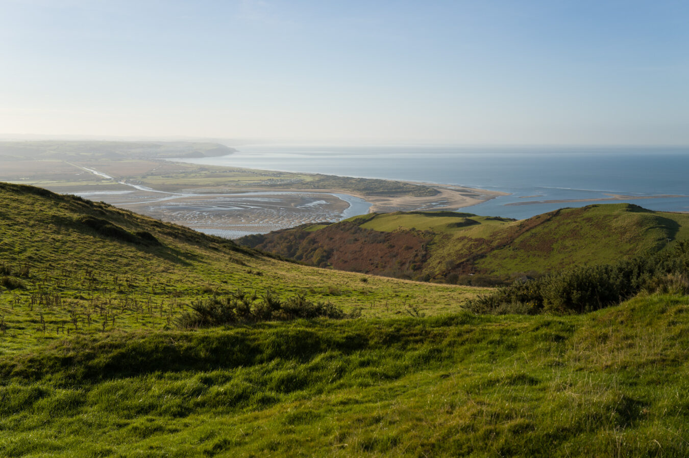
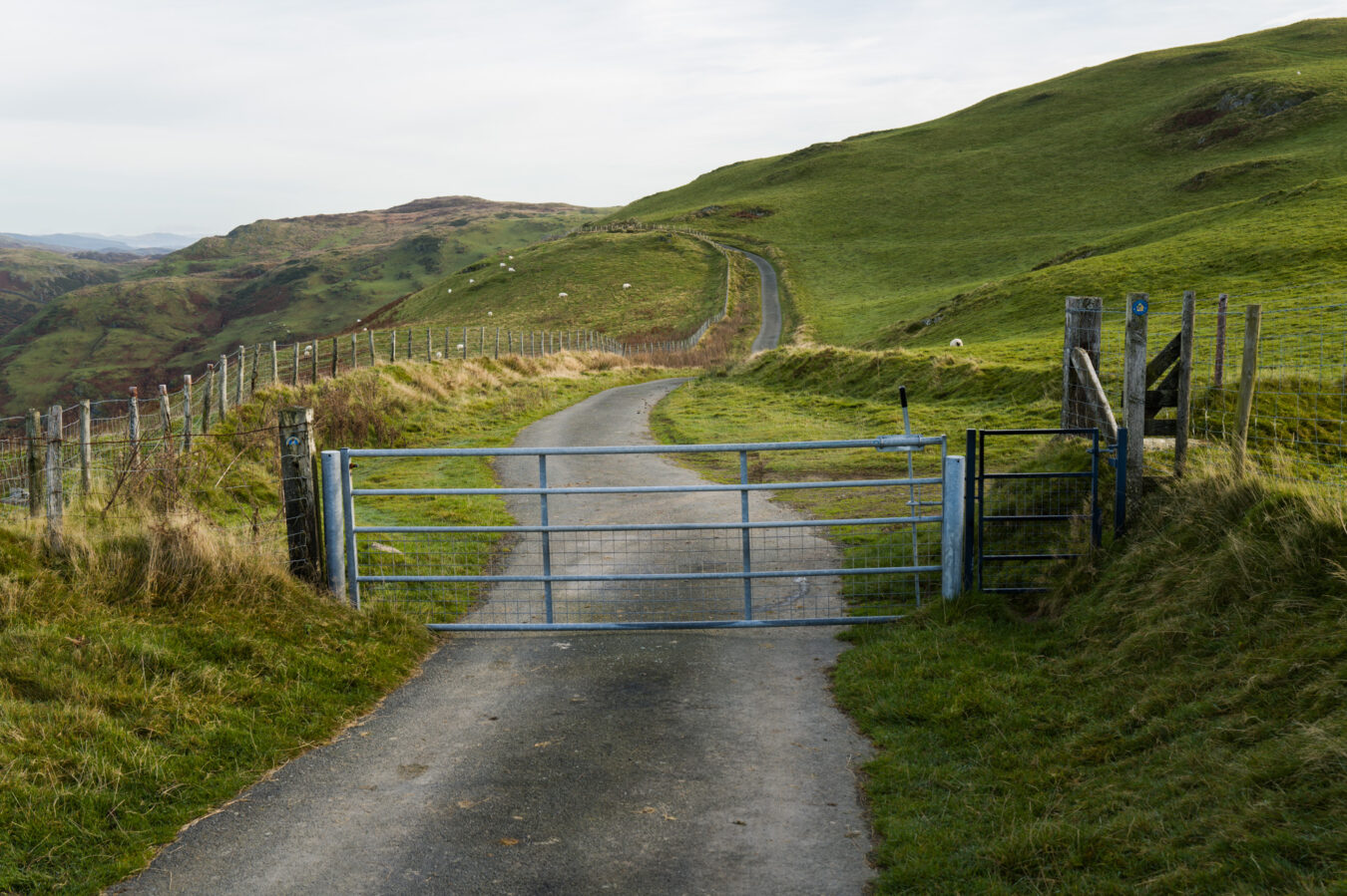
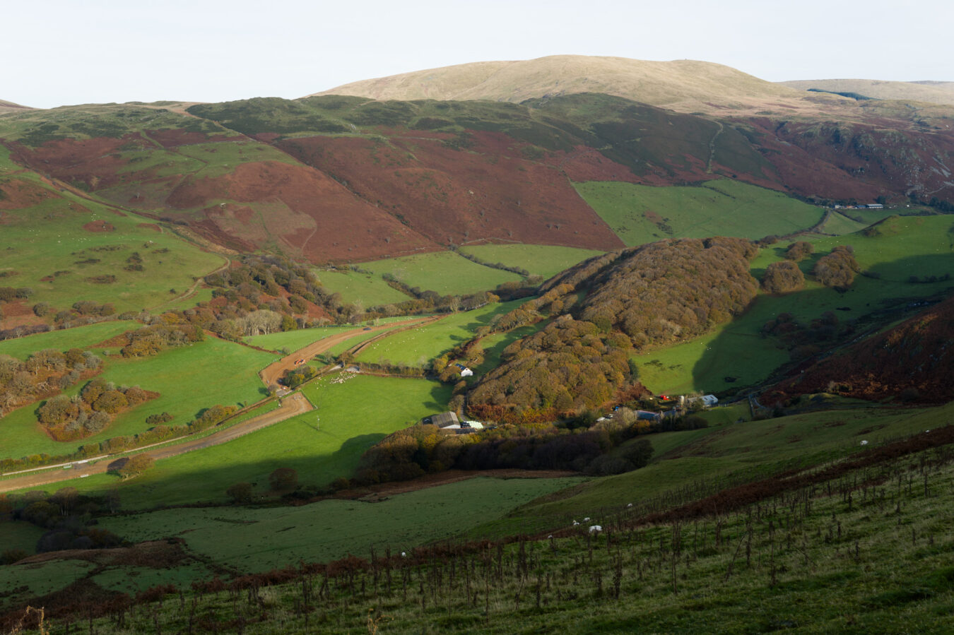
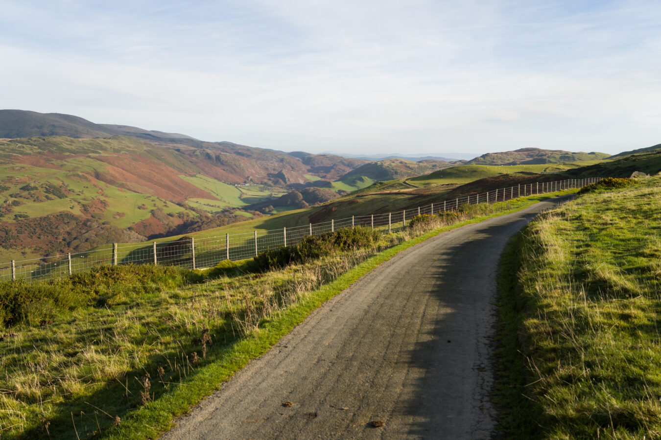
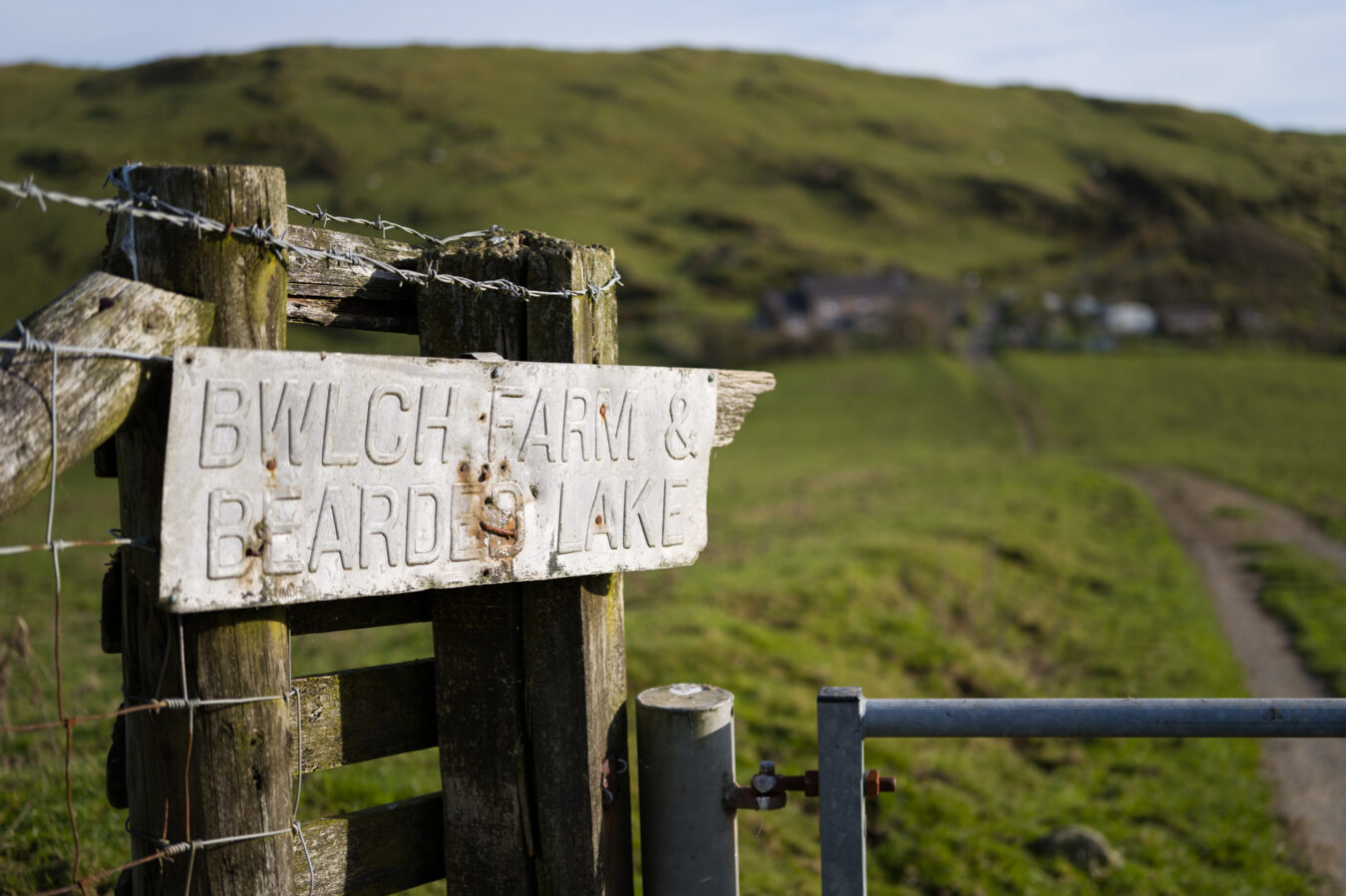
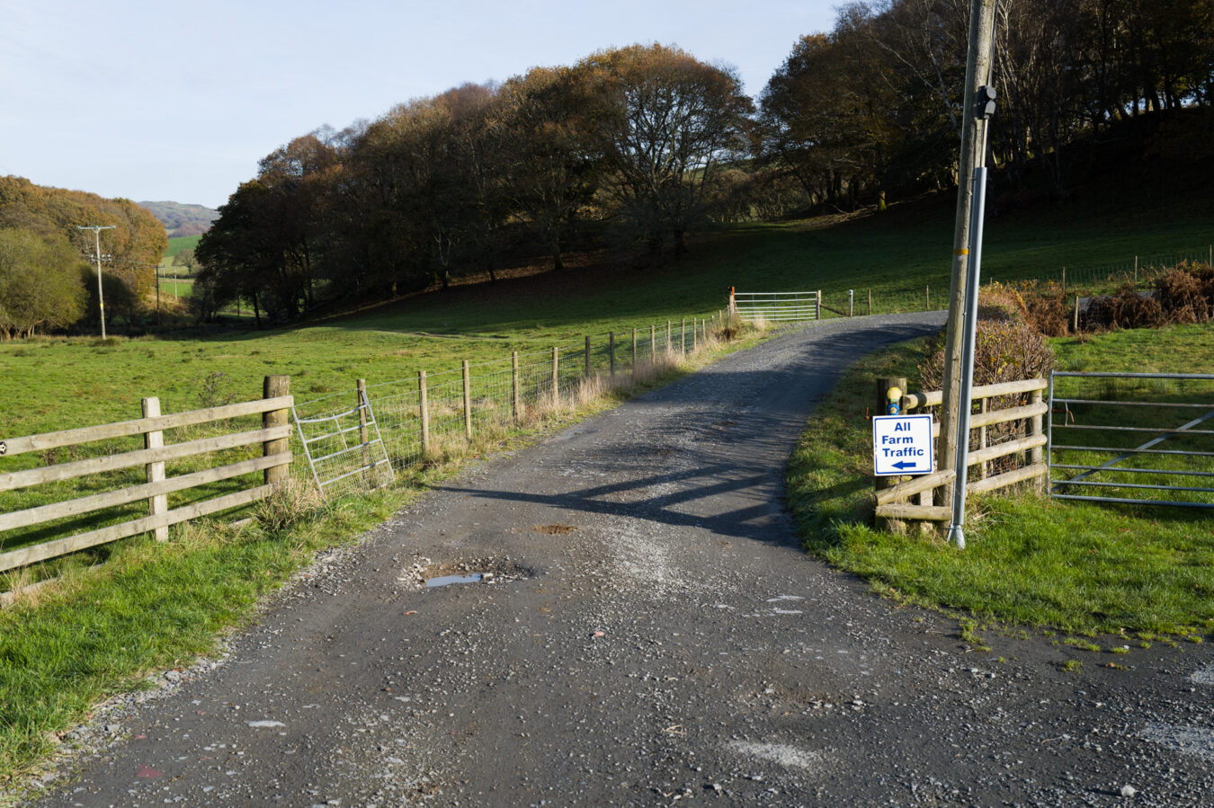
Approximately two miles further, you will come to another gate marked with a Bearded Lake sign. Go through this gate and then another shortly afterwards, passing through a farm. The tarmac gives way to a dirt track here, as you make your way across Tyddynbriddell Hill.
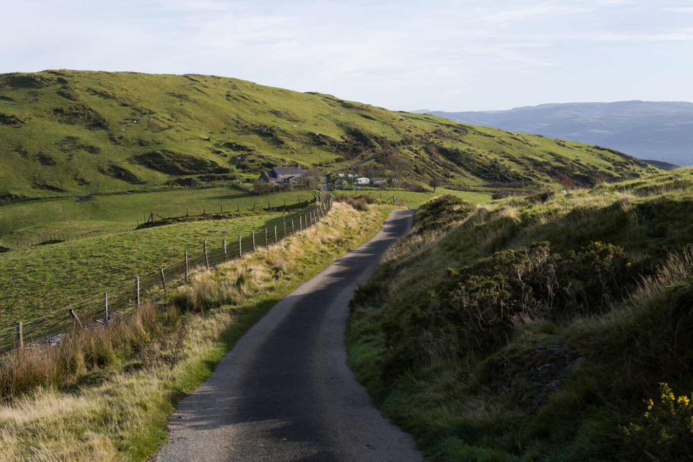
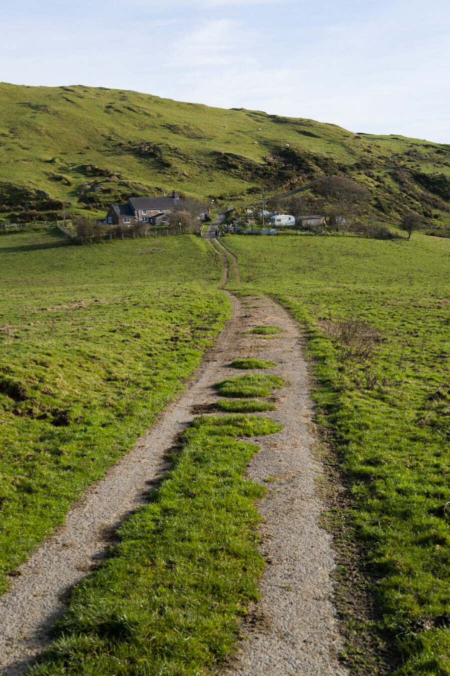
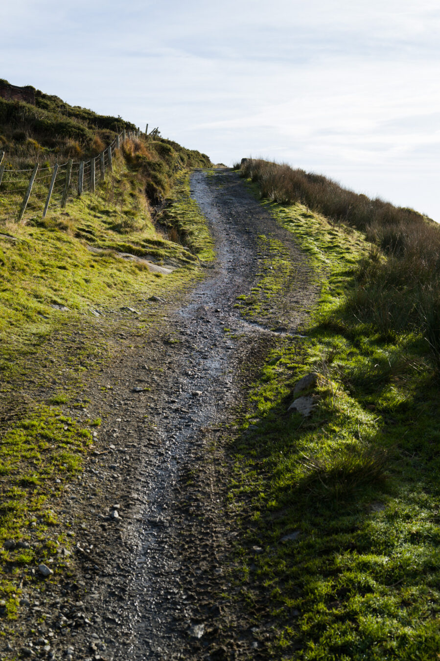
Did you say Coast Path? We’re going up hills!
That’s true. Unfortunately, there are no safe footpaths along the estuary, and walking along the main A493 road would not only be unpleasant but also extremely dangerous! This is the only way and is part of the official route of the Wales Coast Path.
Carn March Arthur and Llyn Barfog – 3.35 mi
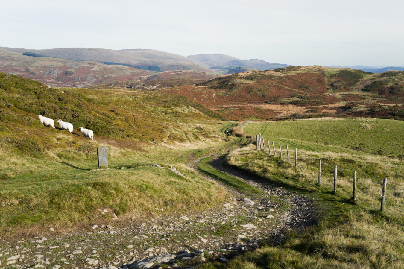
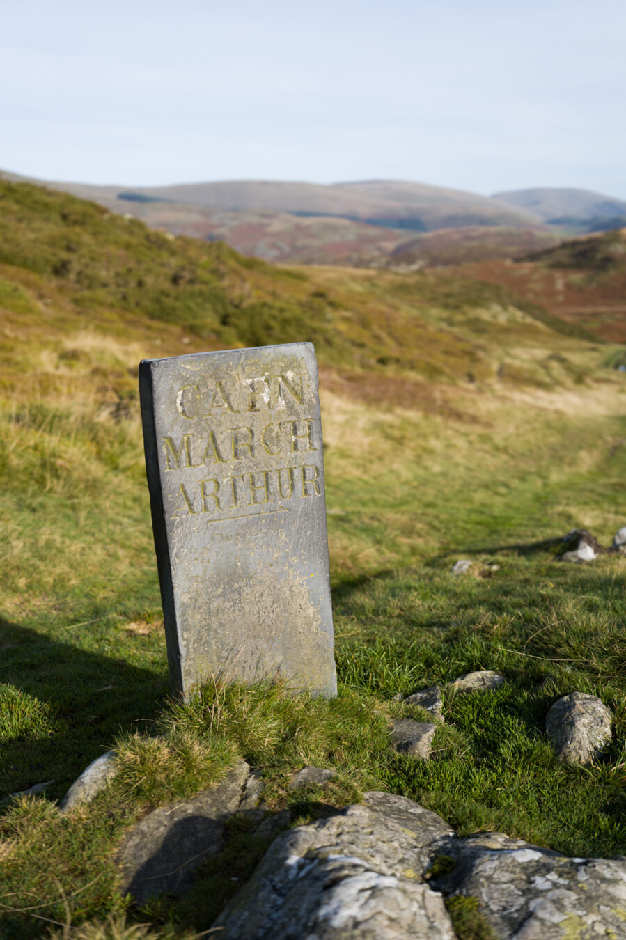
Follow the track for approximately 700 metres until you spot a rectangular stone on your left, inscribed with Carn March Arthur.
King Arthur’s Legend
Carn March Arthur means “The Stone of Arthur’s Horse” in Welsh. One of the many folk stories and myths of the area recalls King Arthur pulling the afanc—a water monster that caused flooding and destruction—from Llyn Barfog (Bearded Lake). According to the tale, the king’s horse left a hoof mark in the stone. You can read more about the lake’s legends in the Coflein database.
A further 200 metres, and you will see a gate on the left side of the track. Shortly afterwards, a path diverging from the main track should be clearly visible on the grass. This path leads to Bearded Lake, which is well worth the small detour and makes for a great spot to take a break and enjoy a snack.
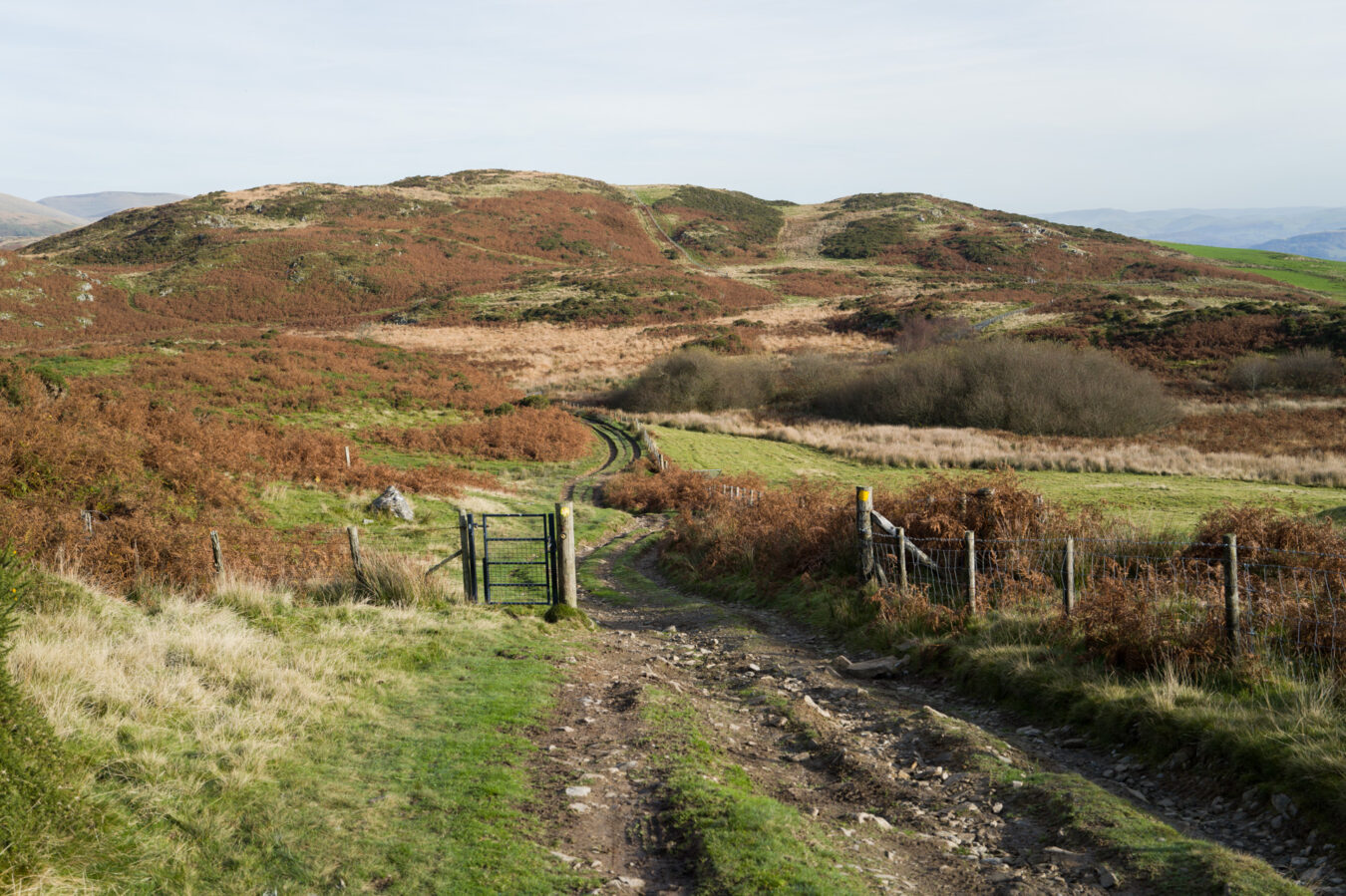
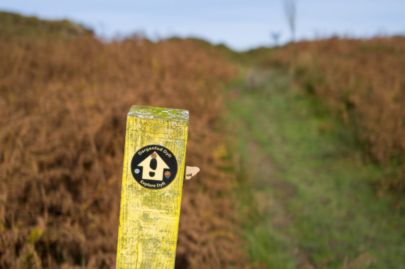
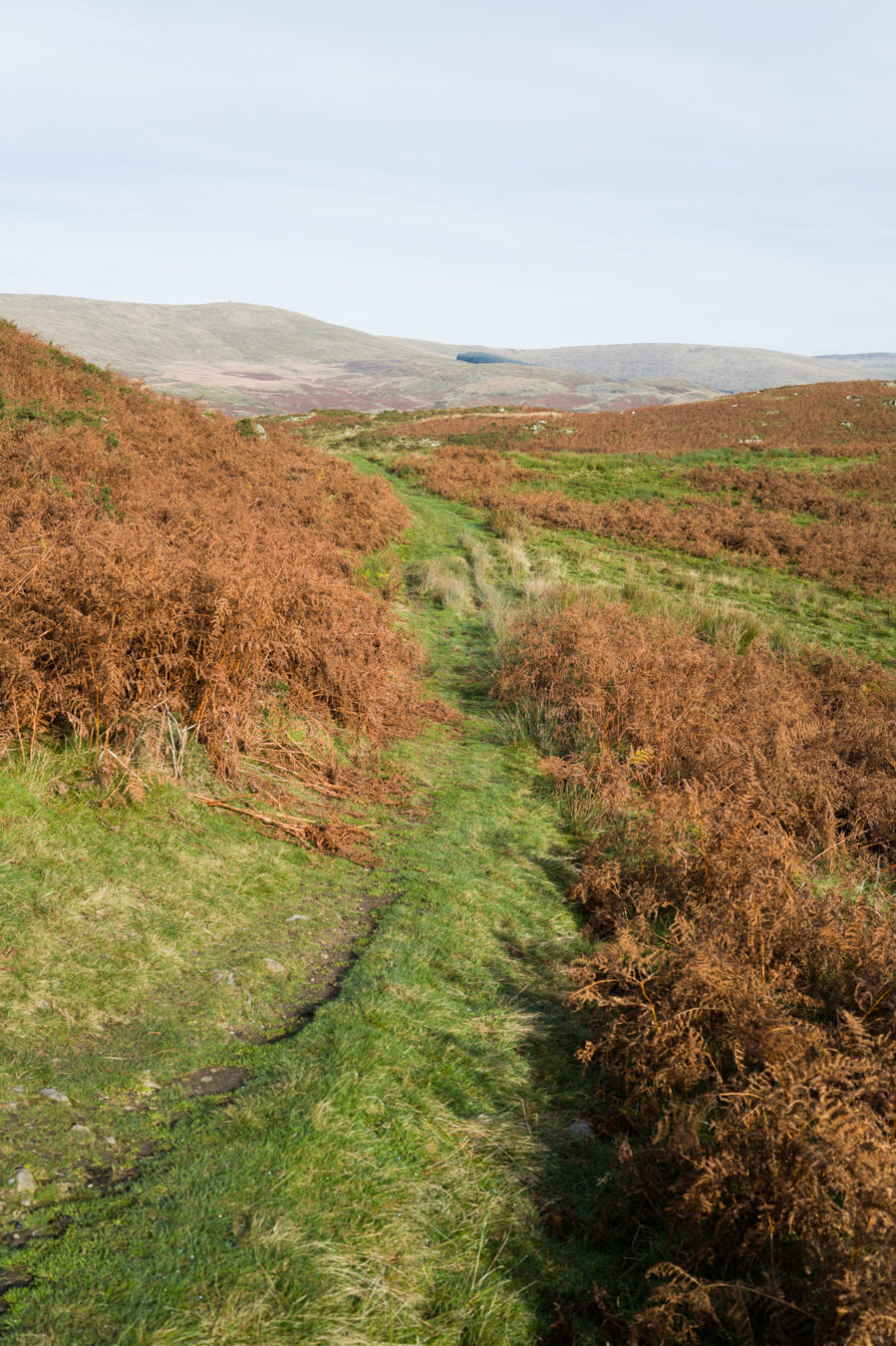
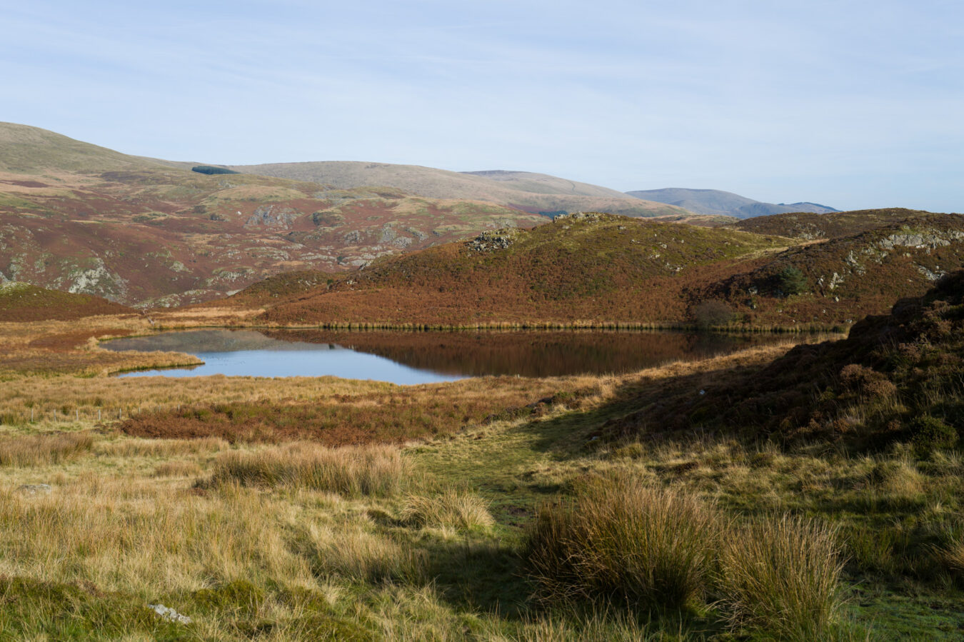
Returning to the main path, continue through a series of gates before starting to descend. Eventually, you will reach the Coed Cwm-du woodland, which remains on your right. Pass through another series of gates, and near one of them, you may notice a walking sign (different from the Wales Coast Path) pointing towards a narrow path on the right. While you might be tempted to explore this path in search of a shortcut, it unfortunately leads only to the main A road, where there is no safe place to walk. In short, do not deviate.
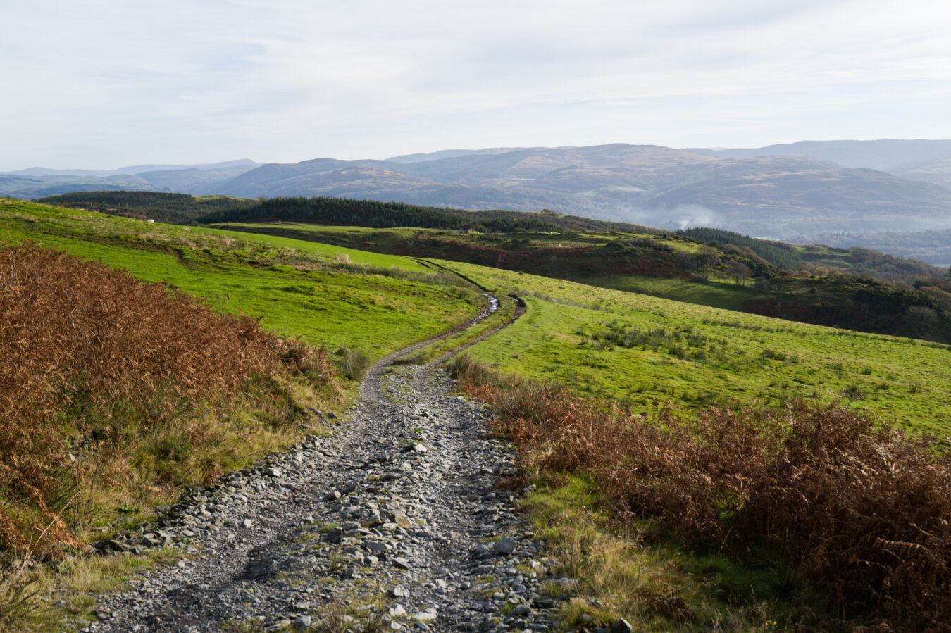
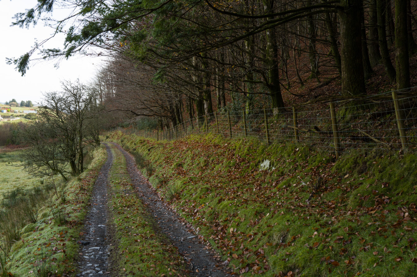
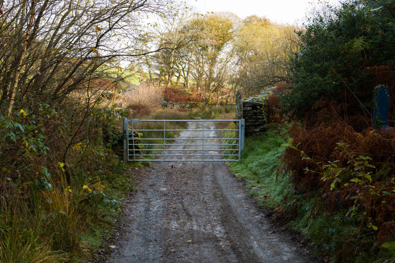
Cwrt – 5.58 mi
After leaving the woods behind, approximately 4.7 miles into the journey, the dirt track merges with a tarmac road, which will lead you down to Cwrt. Here, you will join the main A493 road, which you need to cross to continue on the other side. Pass the Cefn Crib Caravan Park sign and stay on the left to cross a gate further down (you’ll see the Wales Coast Path sign).
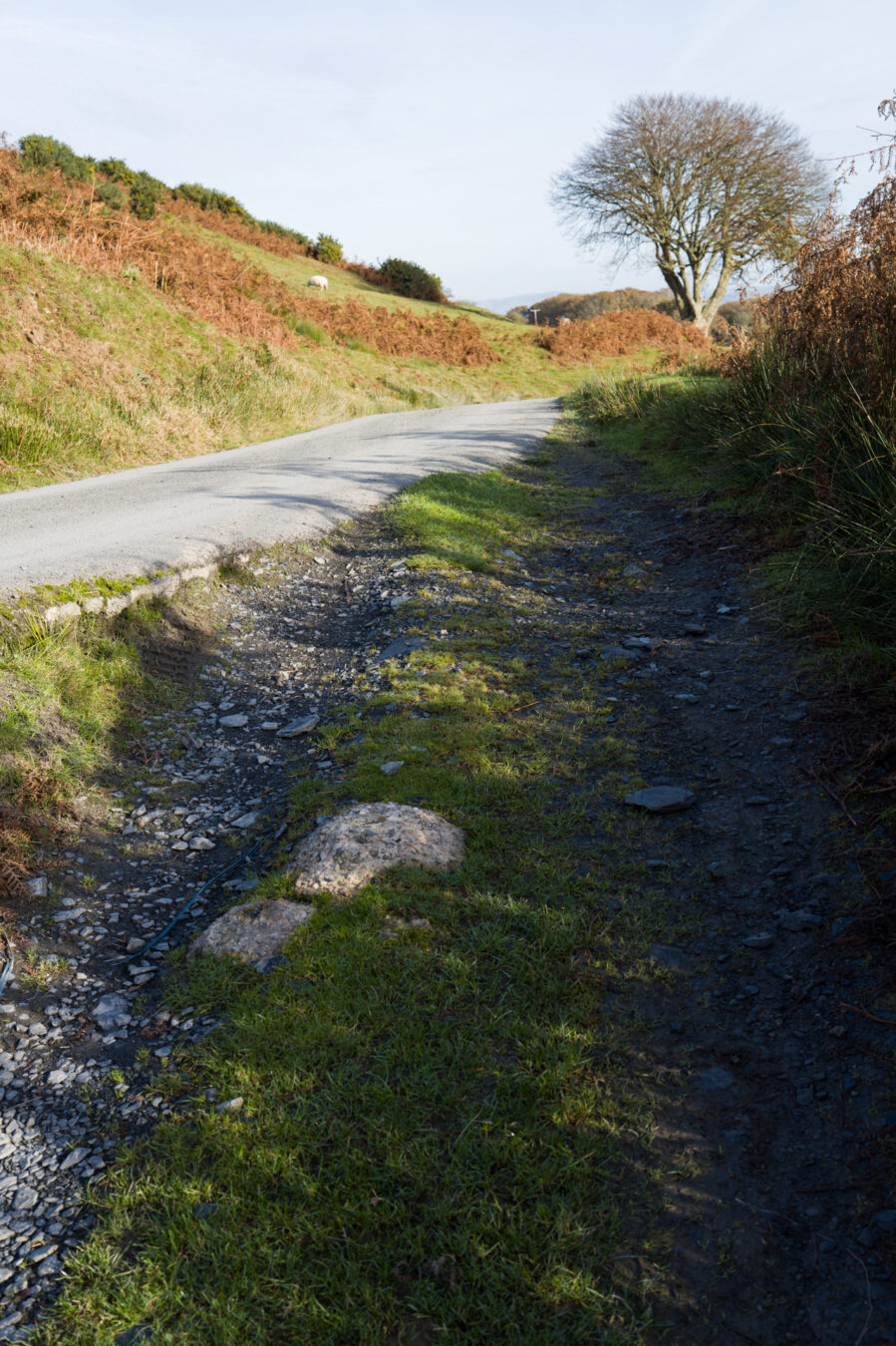
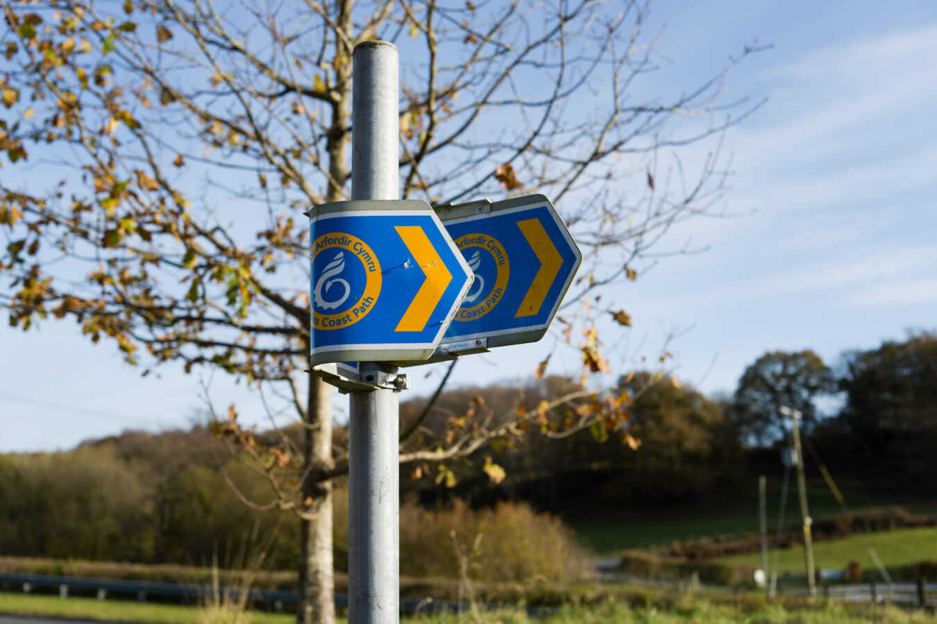
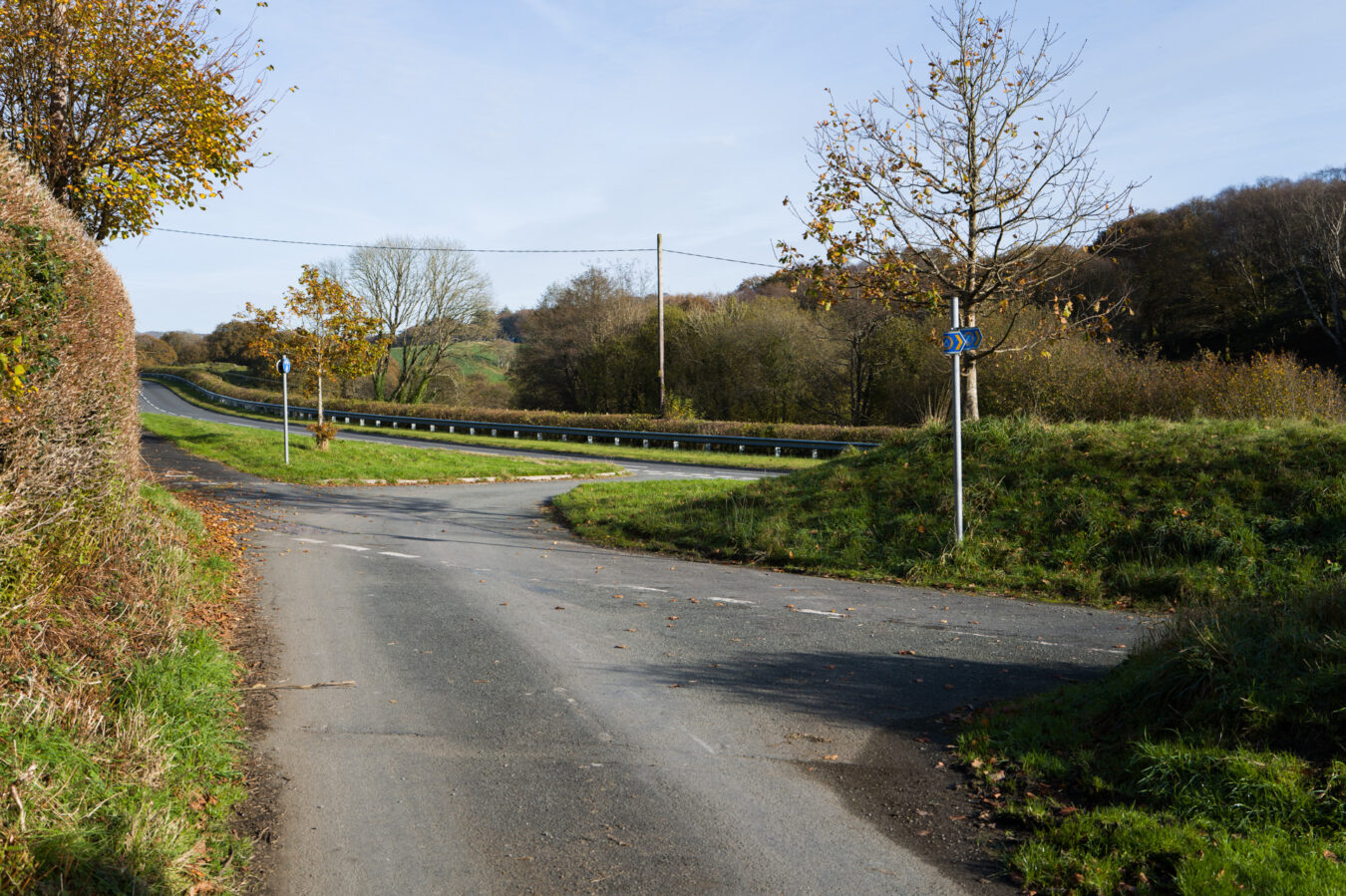
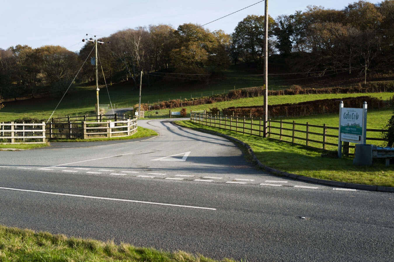
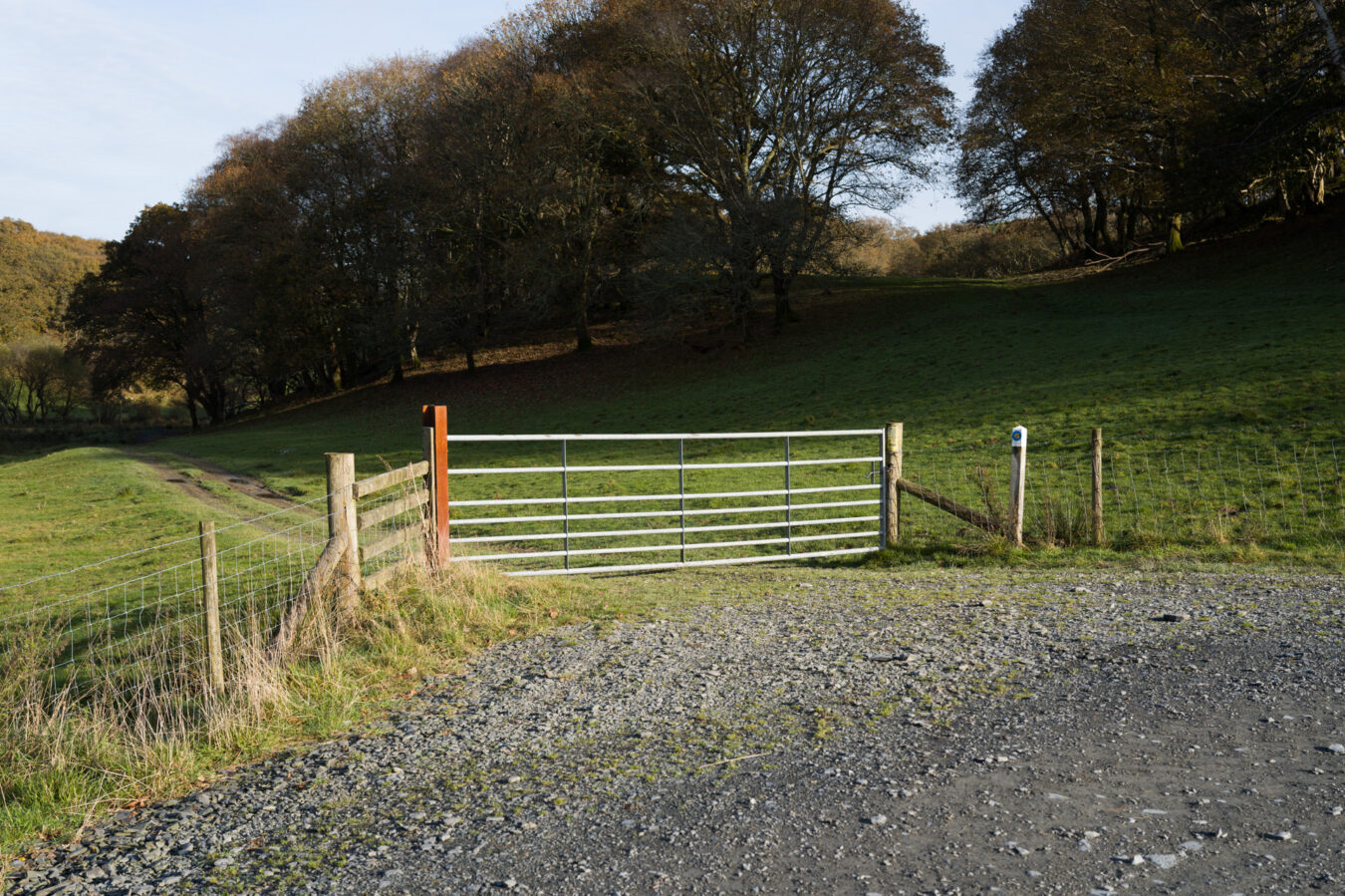
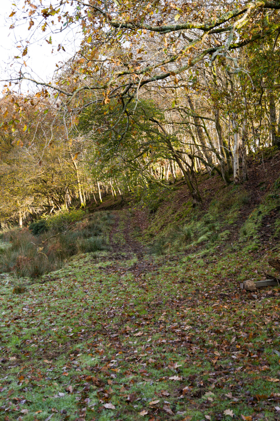
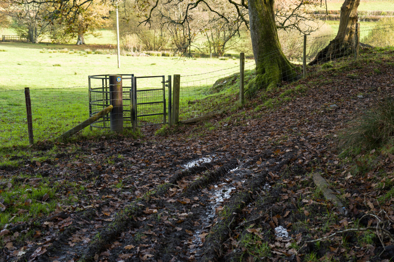
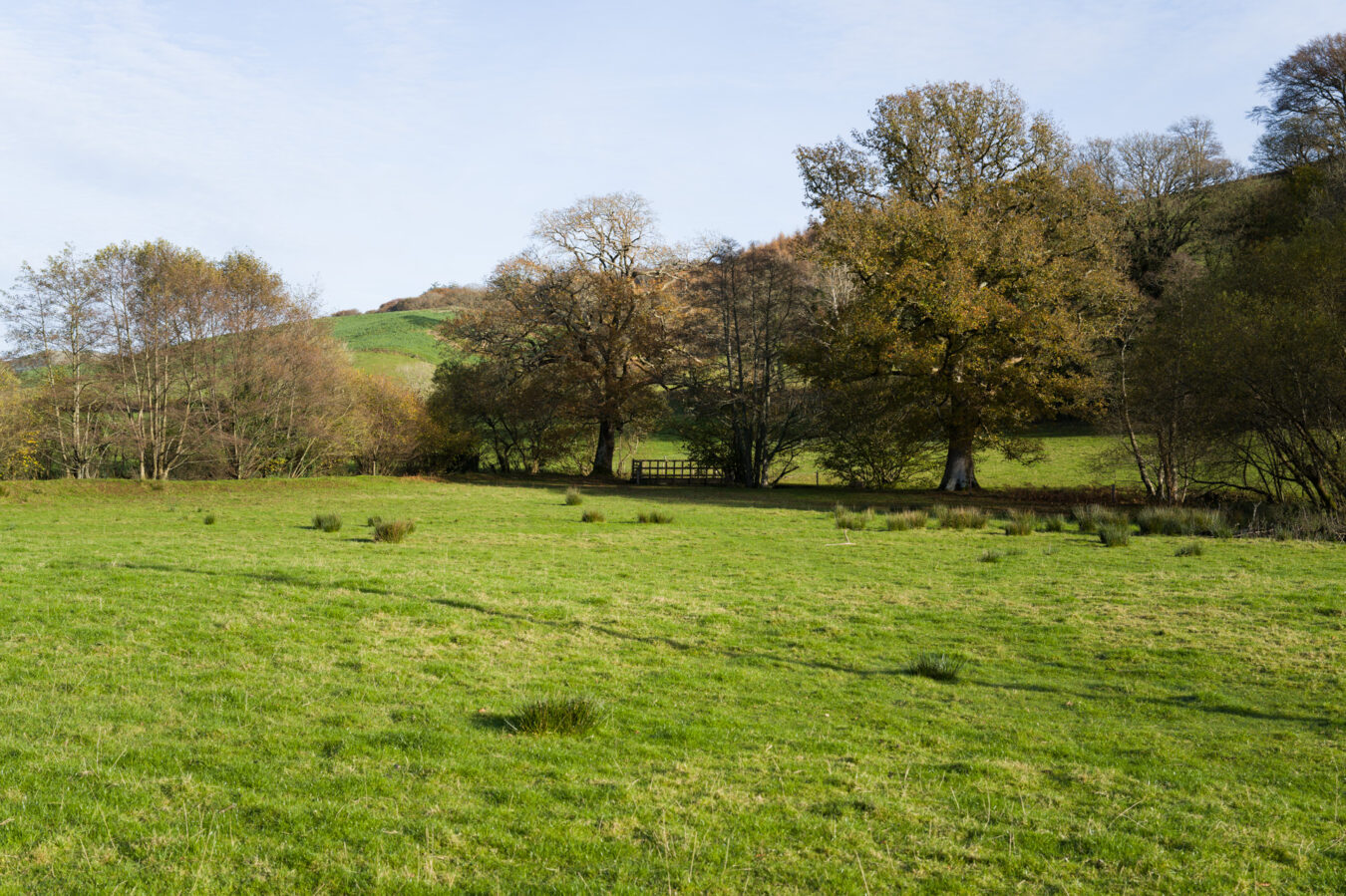
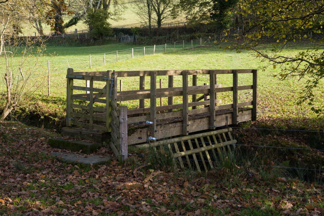
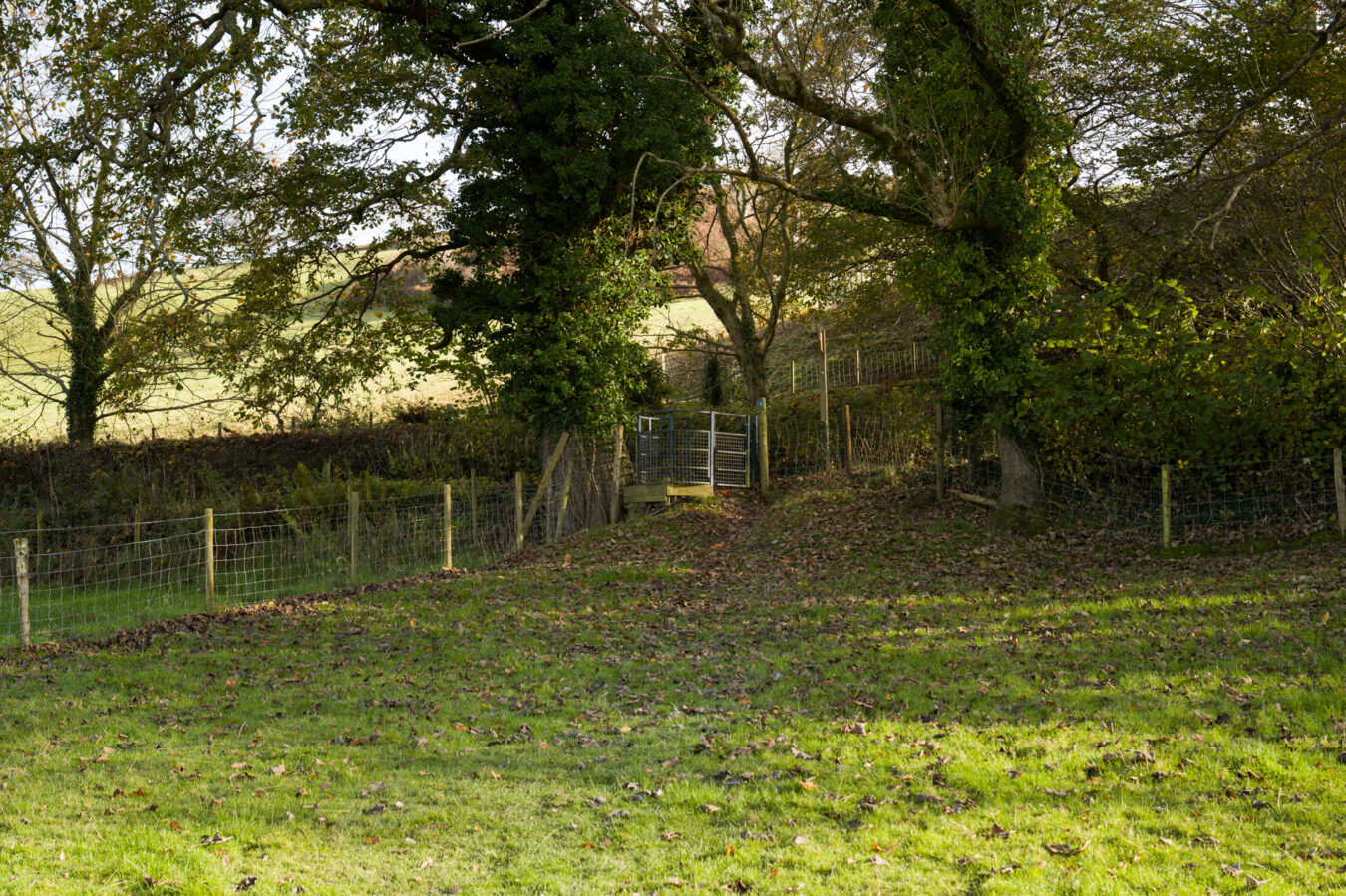
The dirt track veers left towards another gate, but this is the wrong direction. Keep right and walk alongside the trees on your right until you reach another, smaller gate. Once again, the Coast Path sign will confirm you’re heading the right way. Cross the field to reach a small wooden bridge on the far side. Cross the bridge and go through a second field to another small gate. Turn left, and then shortly afterwards, make a 180˚ right turn into the entrance of Penmaen Dyfi.
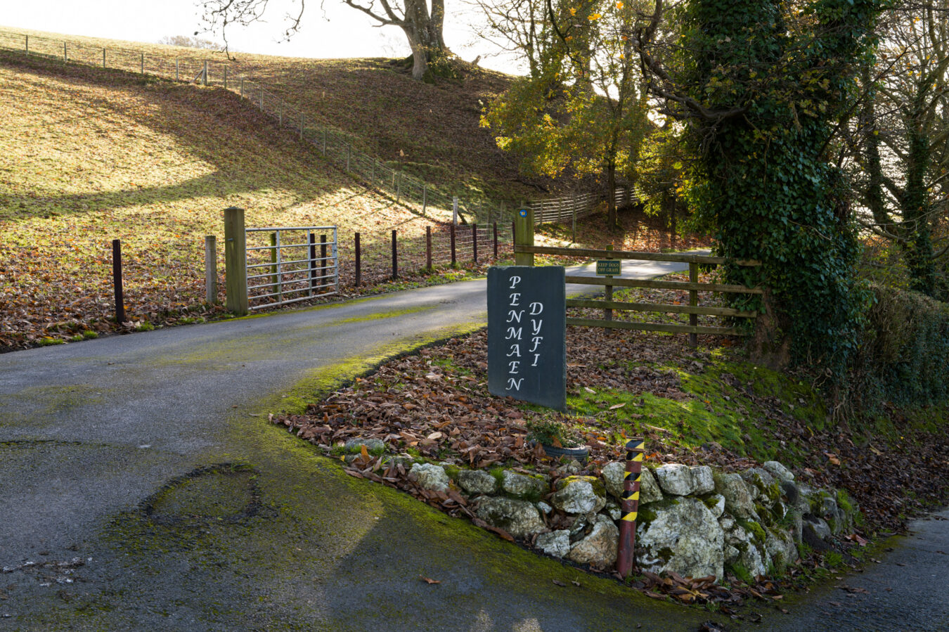
Penmaen Dyfi – 5.99 mi
Enter and follow the road. A few metres further on, you’ll find a pleasant bench on your right, named Menna, offering a stunning view of the estuary ahead. This is an ideal spot for another break.
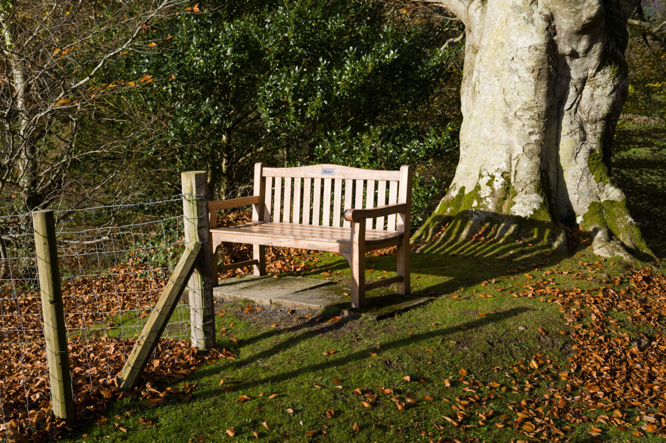
From here, continue walking through the Chalet and Caravan Park until you reach another field. Head towards the left, but don’t go all the way uphill. Look for a small black gate where another path begins. Before proceeding, take a moment to turn around and admire the breathtaking view of the estuary and Dyfi Valley.
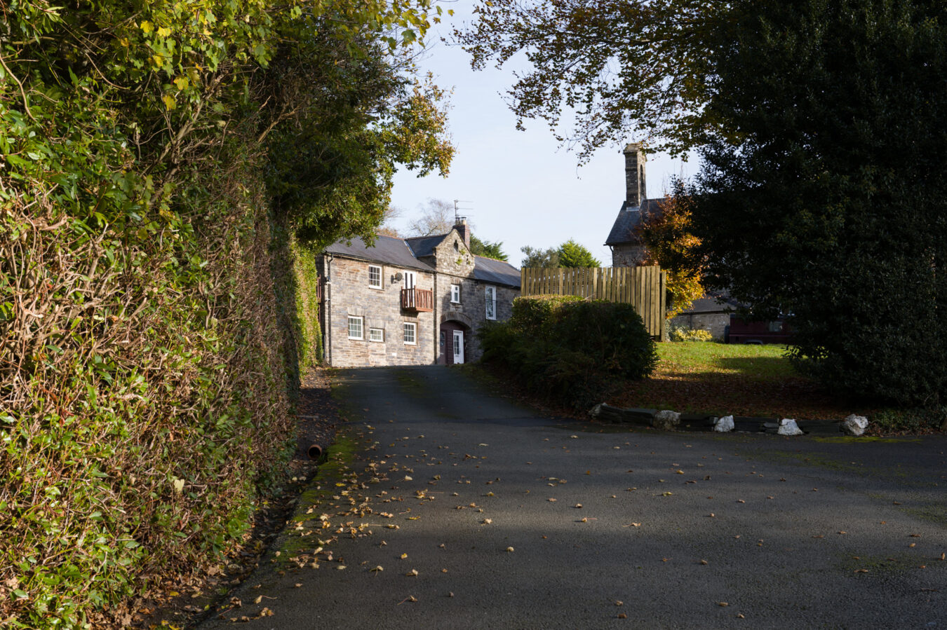
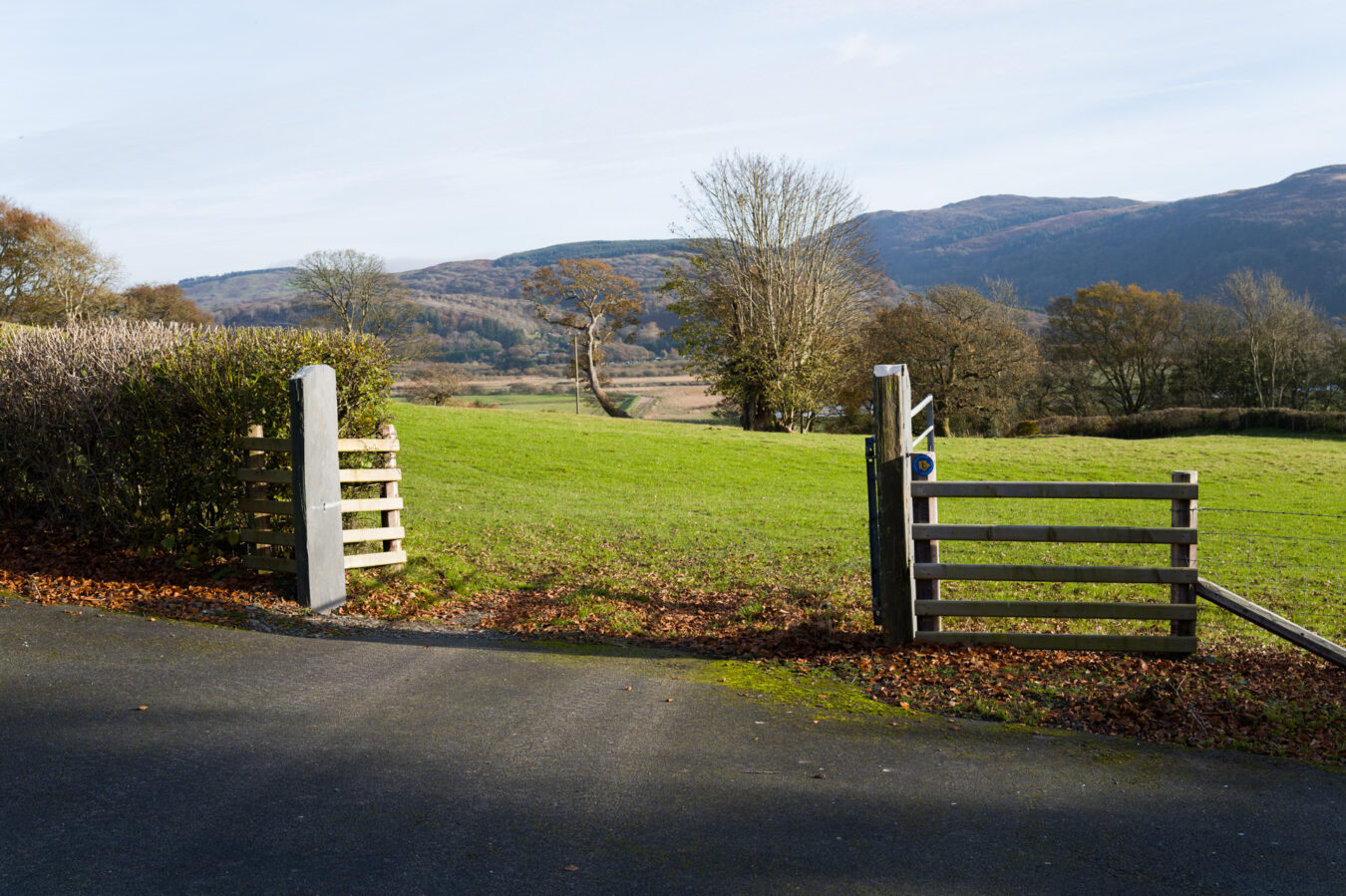
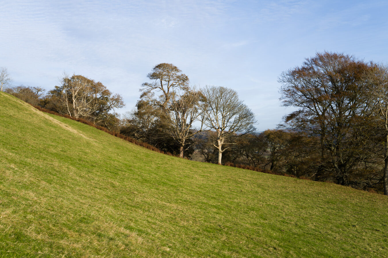
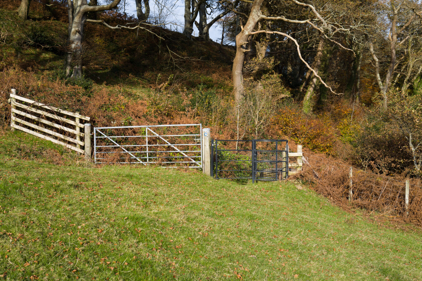
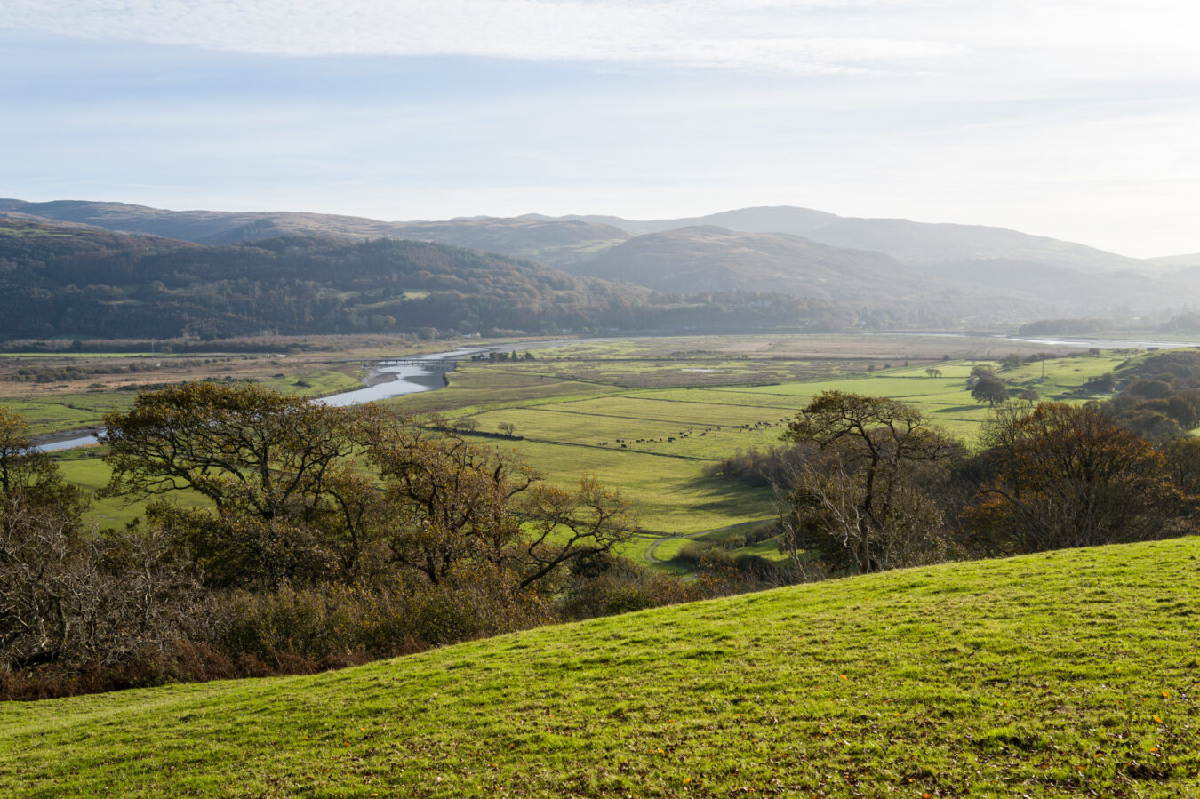
The new path is narrow until you reach another gate leading into a field. Keep to the right, pass through another gate, and you will enter the Macdonald Resort.
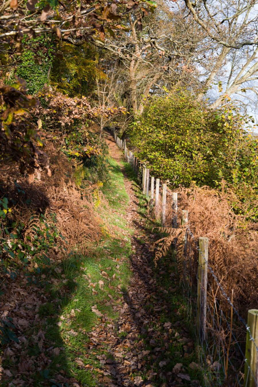
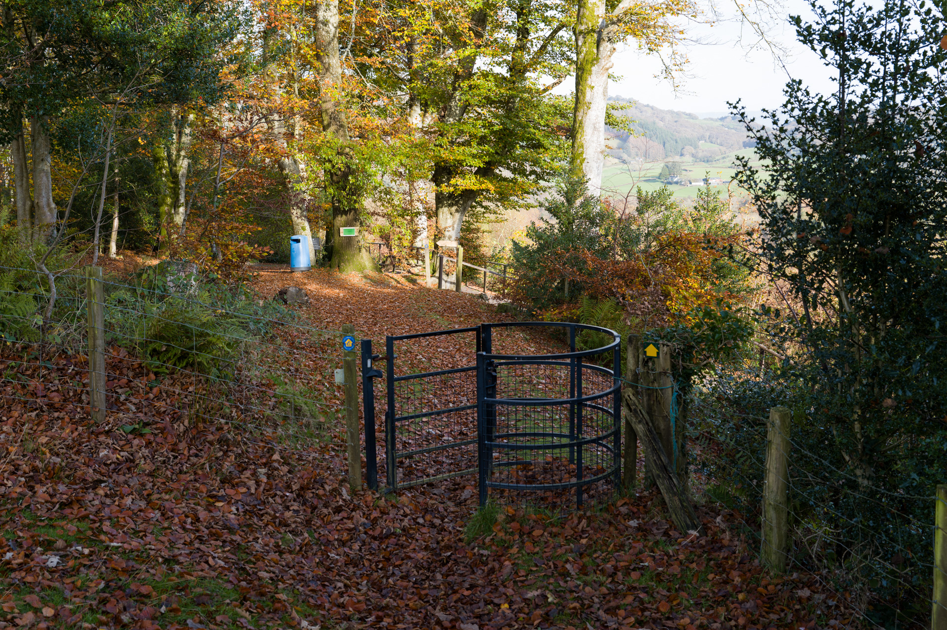
Macdonald Resort – 6.65 mi
Here, you’ll find picnic benches and a bin. The Coast Path sign indicates that you should turn right and go down a series of steps on a path that loops around. However, I believe you can continue straight ahead to a shortcut that takes you to the centre of the resort. To be fair, you’ll only save a few minutes.
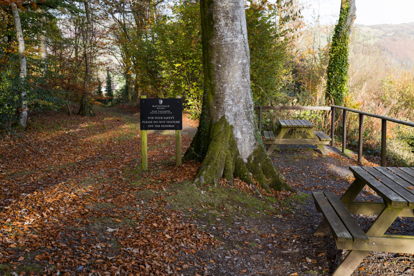
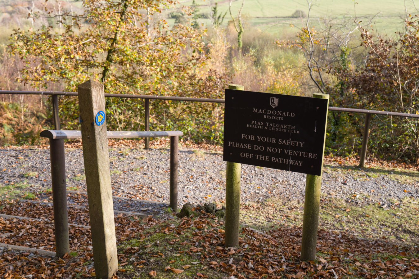
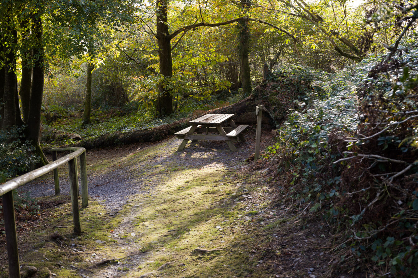
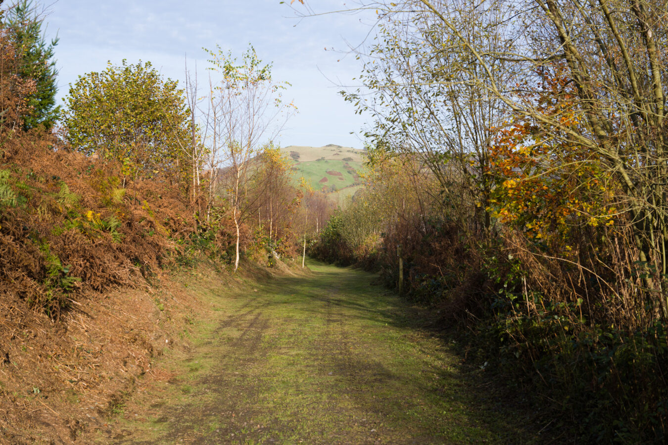
Pass the resort centre and continue along the road that leads to the A493. Once you’re at the exit, turn right, then cross the road when you see the pavement (sidewalk) on the other side, in front of the school. You’ve arrived in Pennal!
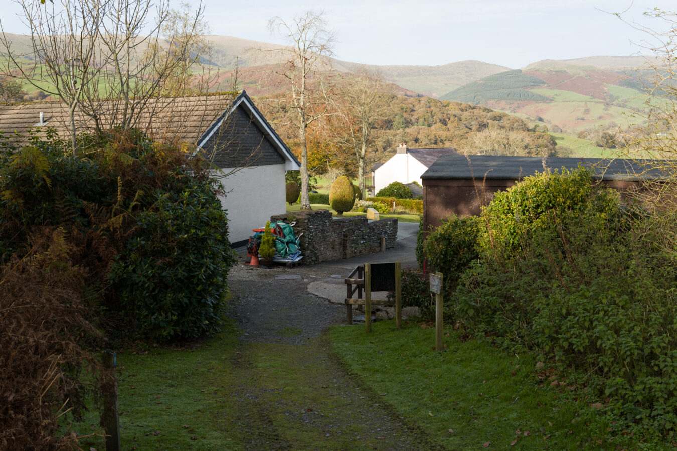
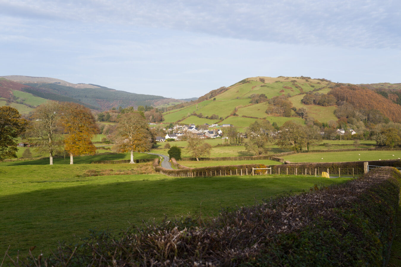
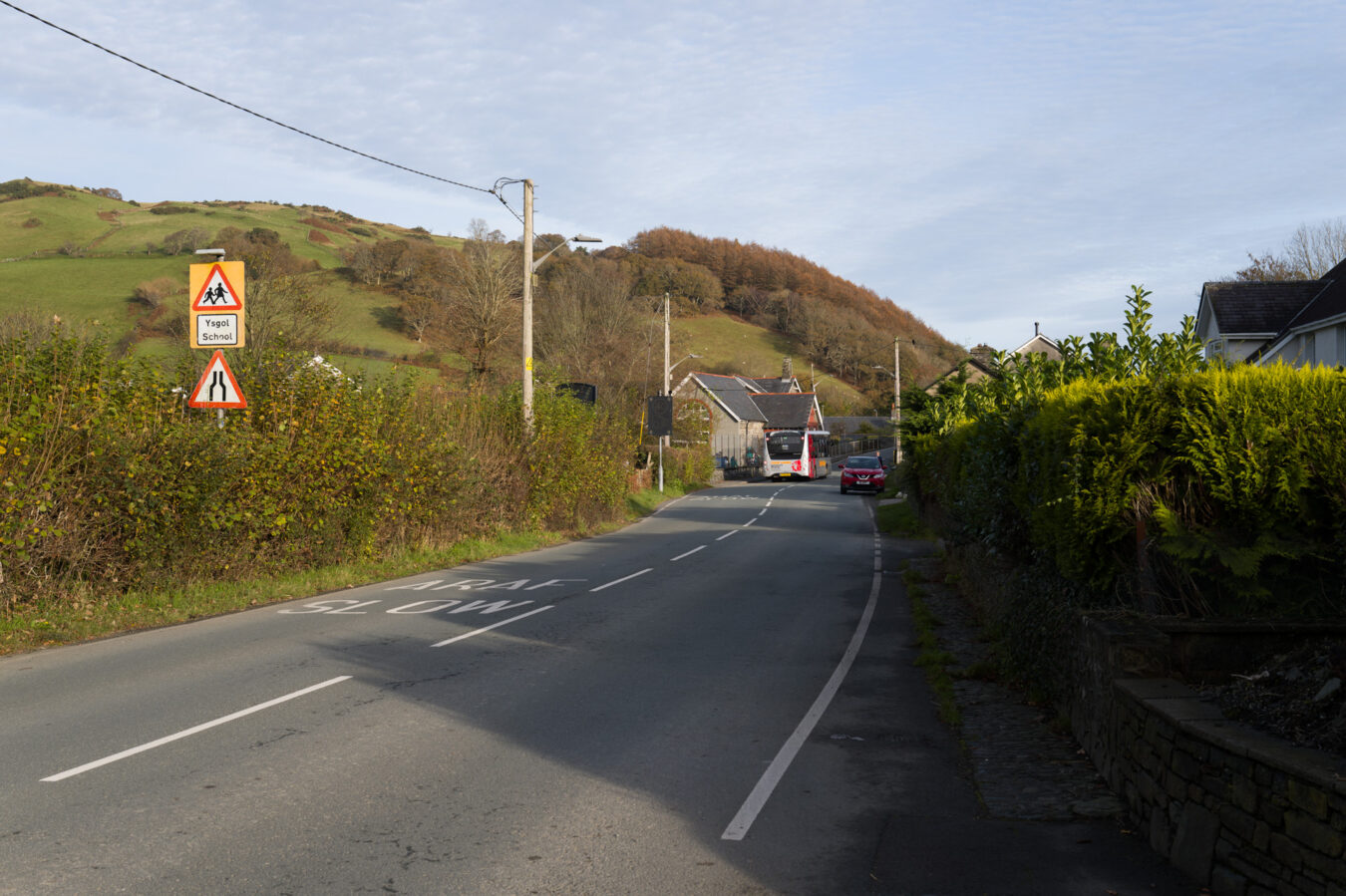
Pennal – 7.48 mi
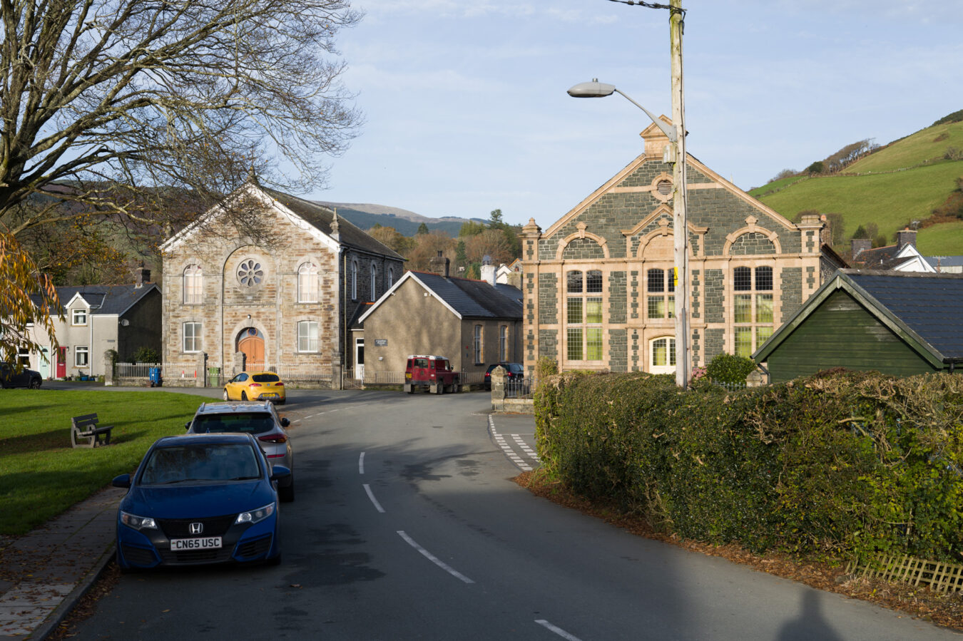
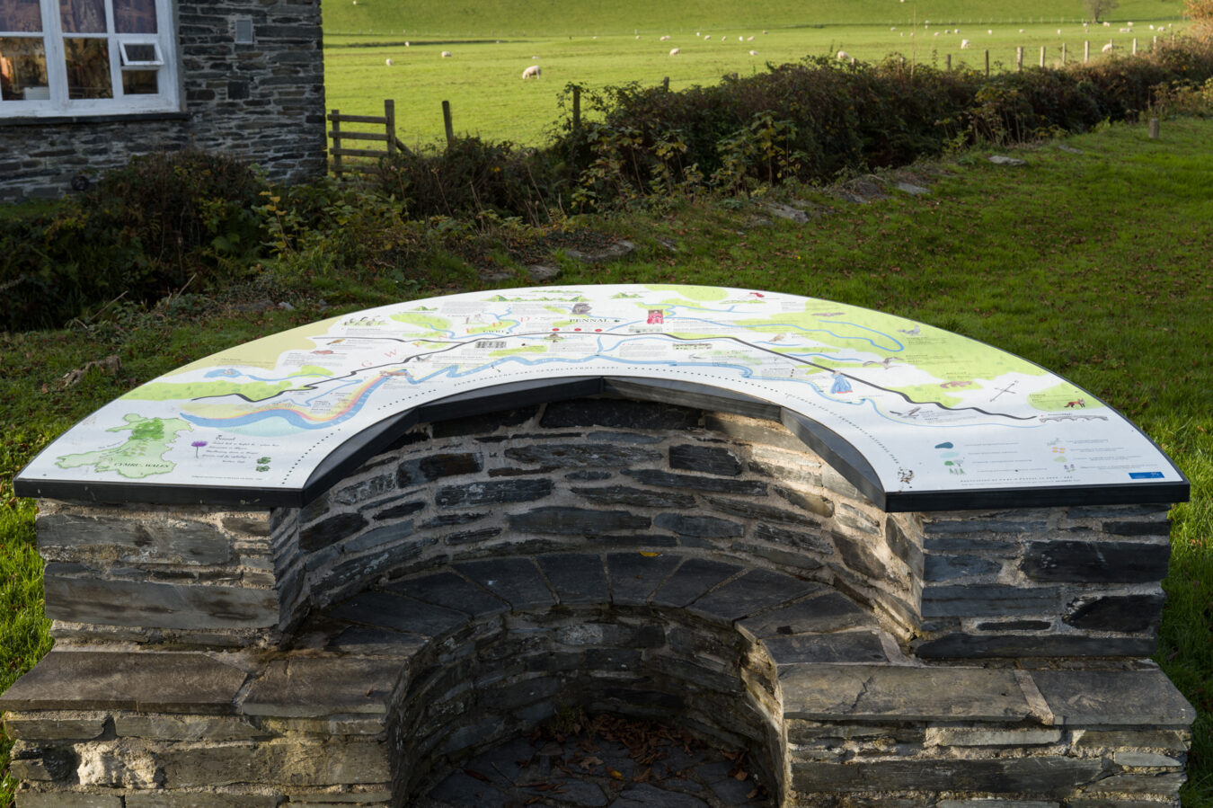
Past the bridge, there is a green area with a few benches on your left, including an information panel about the village. On the right, you’ll find a restaurant, The Riverside. It is open on weekdays at certain times of the year (usually during holidays), so you may be able to get refreshments or even a meal, depending on the time of your visit.
There are public toilets located in the village. Opposite The Riverside restaurant, take the narrow road and pass the St. Peter Ad Vincula church on your right. The toilets are on the left, opposite the church, in front of a small car park.
See Pennal Public Toilets on
Google Maps – Apple Maps – what3words
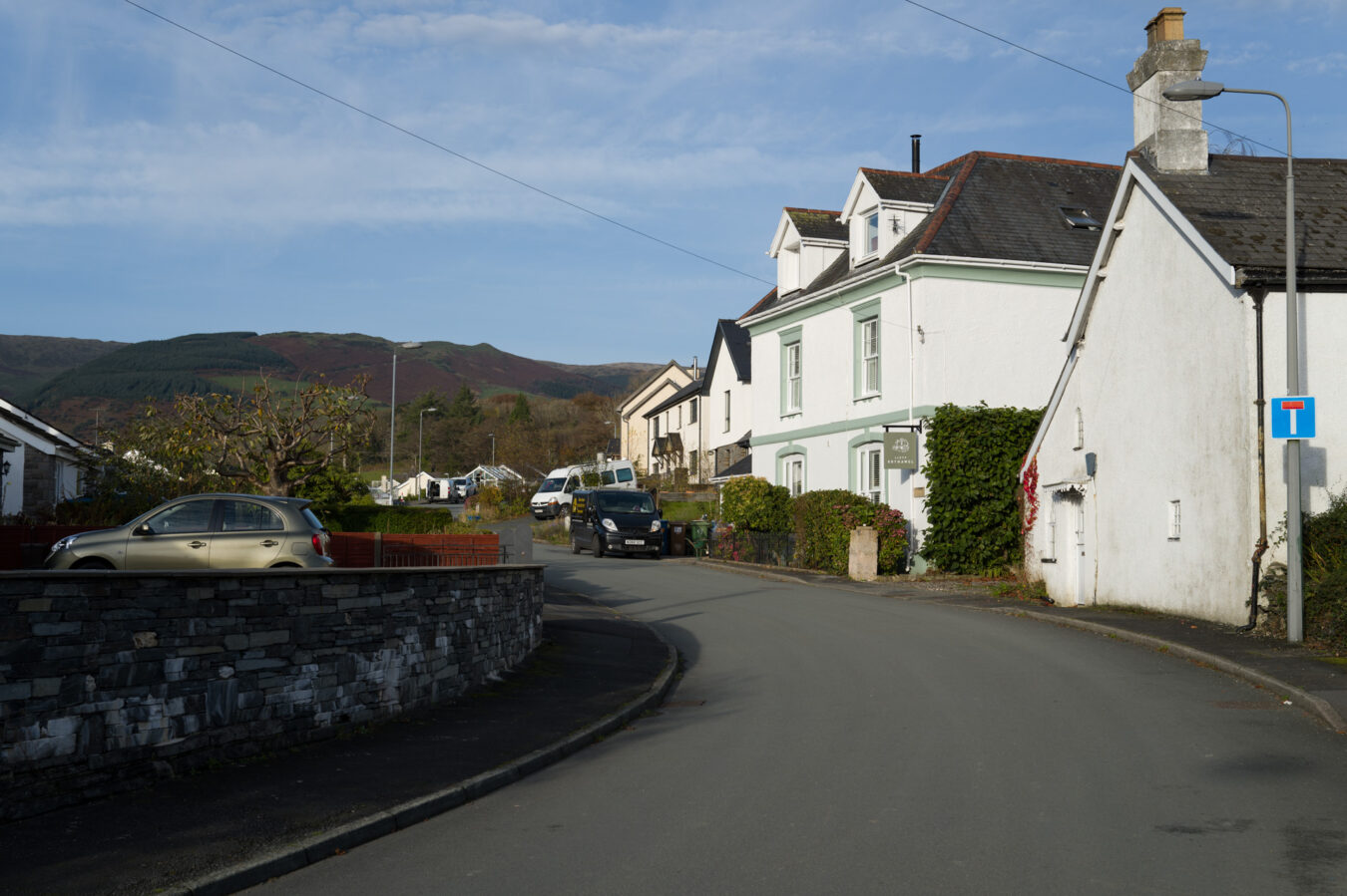
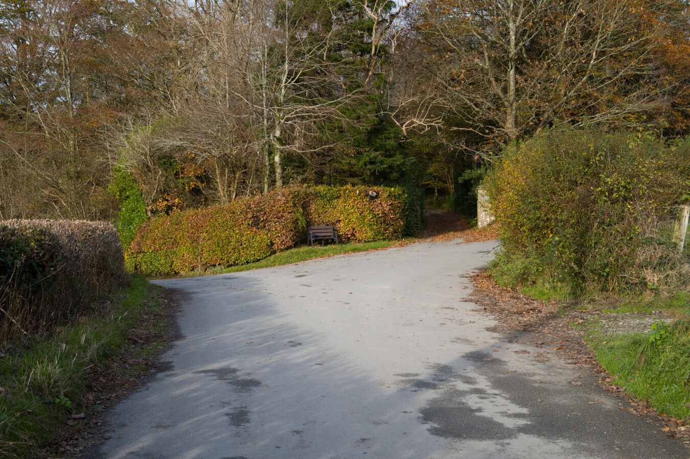
When you’re ready to continue, head north along Tower Road, passing the green area and benches mentioned earlier. Follow the road through a residential area until you leave the village behind. Shortly after, you’ll come to a fork with a private entrance in the middle. Keep right and continue along the road. About 650 metres further on, you’ll reach a second fork, where the entrance to Pennal Forest is signposted on your right.
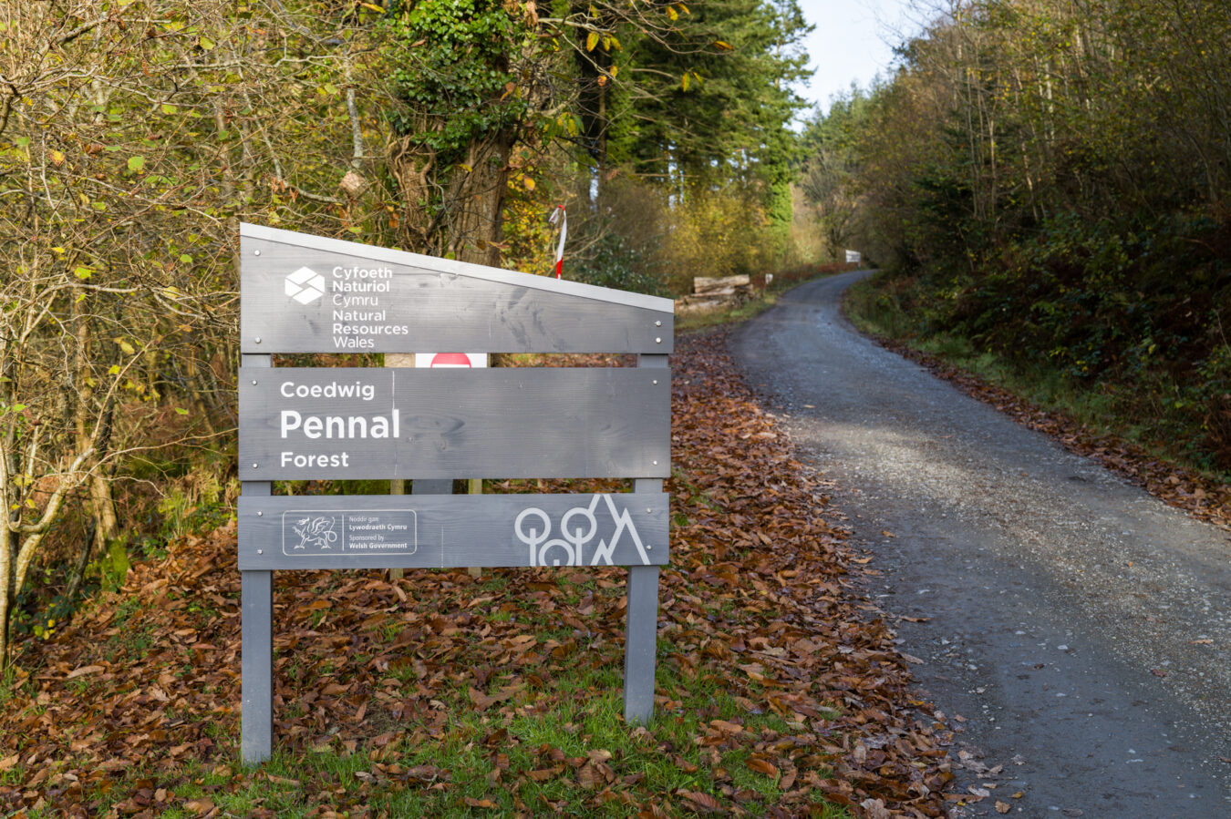
Coedwig Pennal – 8.22 mi
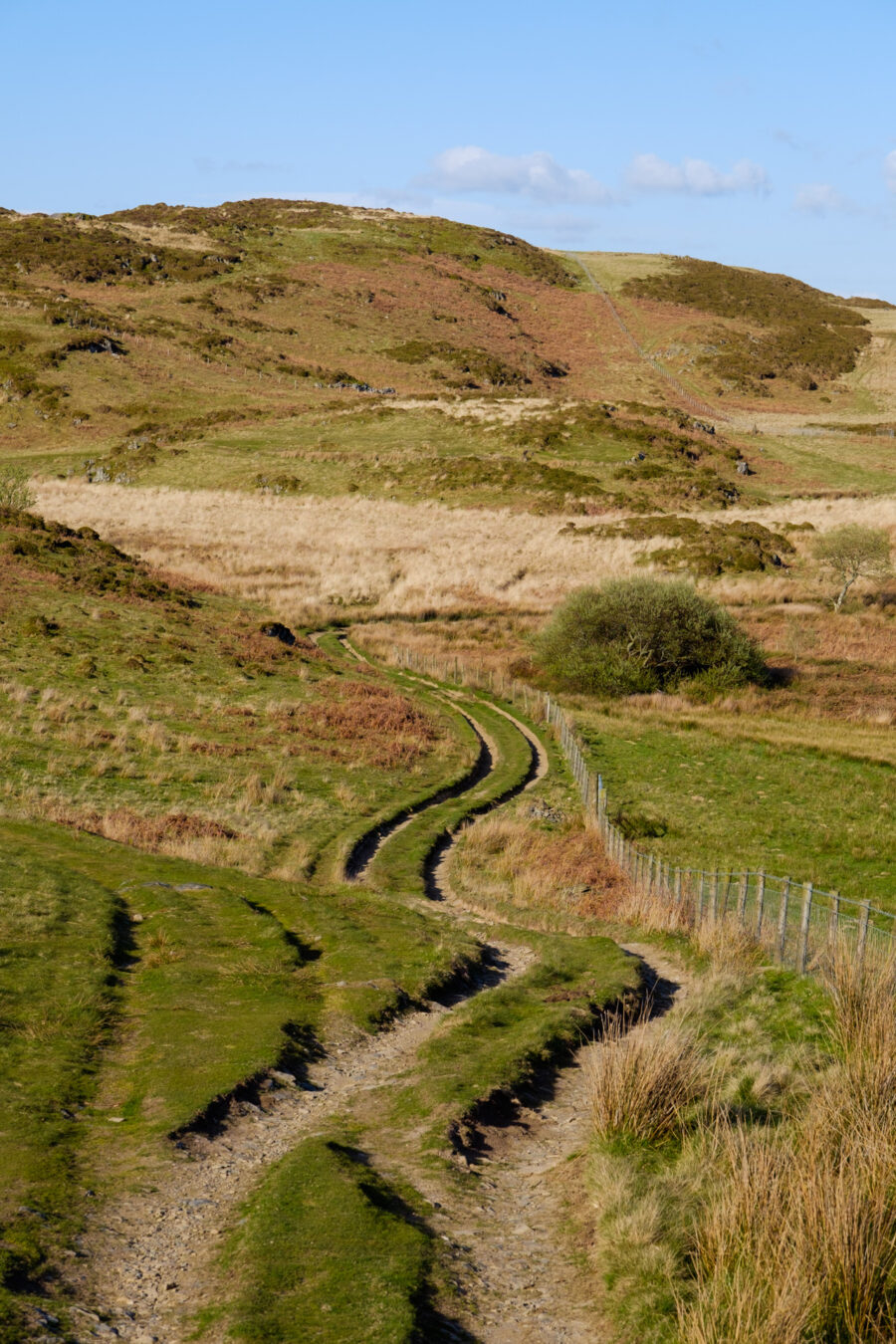
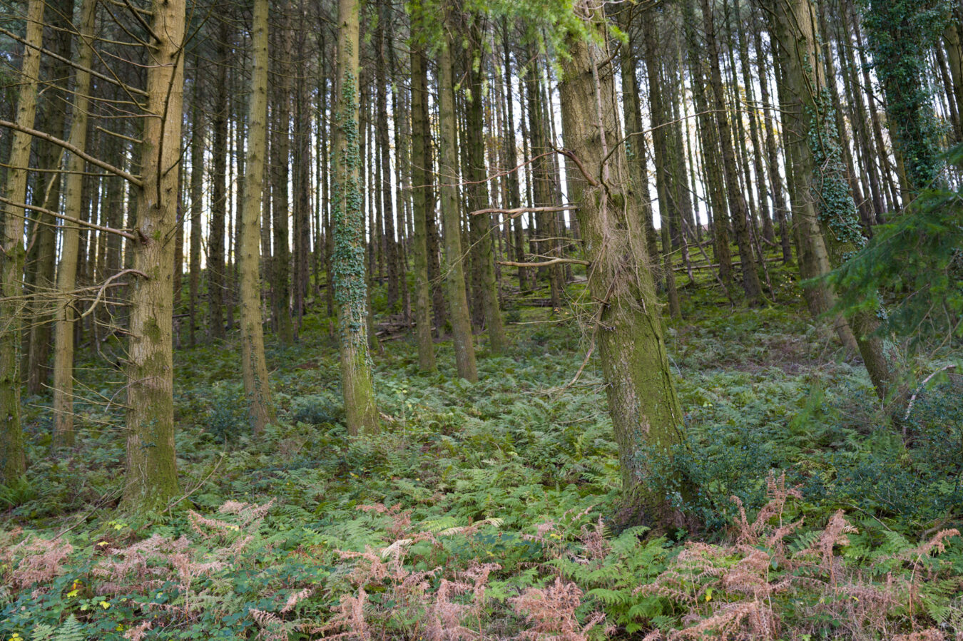
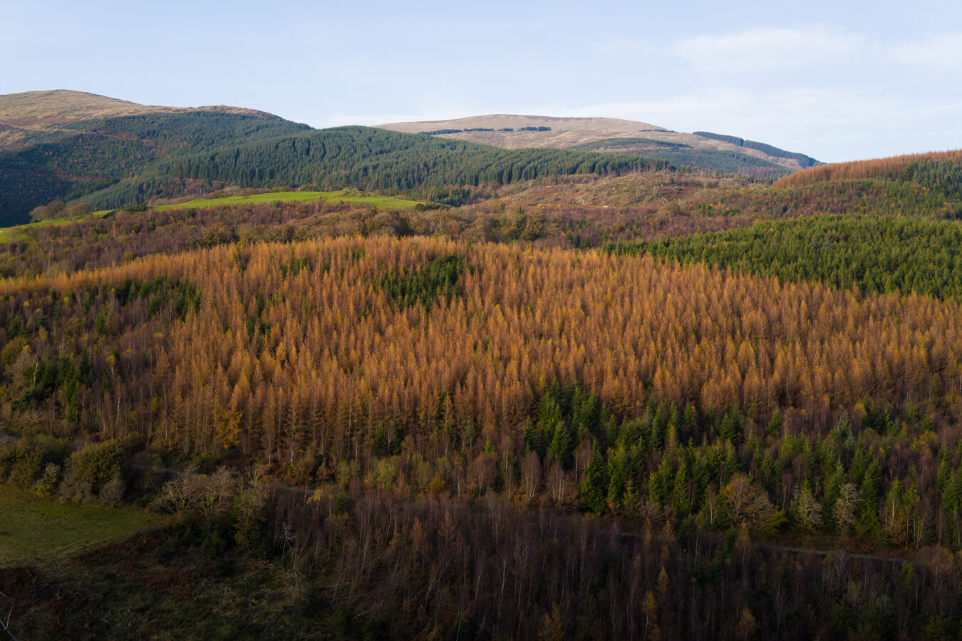
The forest features a gentle but steady 660-foot ascent over 2 miles, mostly along a dirt road. Along the way, you can admire the views and the beautiful trees. Be aware that you might encounter a few cars travelling up or down. You’ll pass a few forks along the way; pay attention to the Coast Path signs.
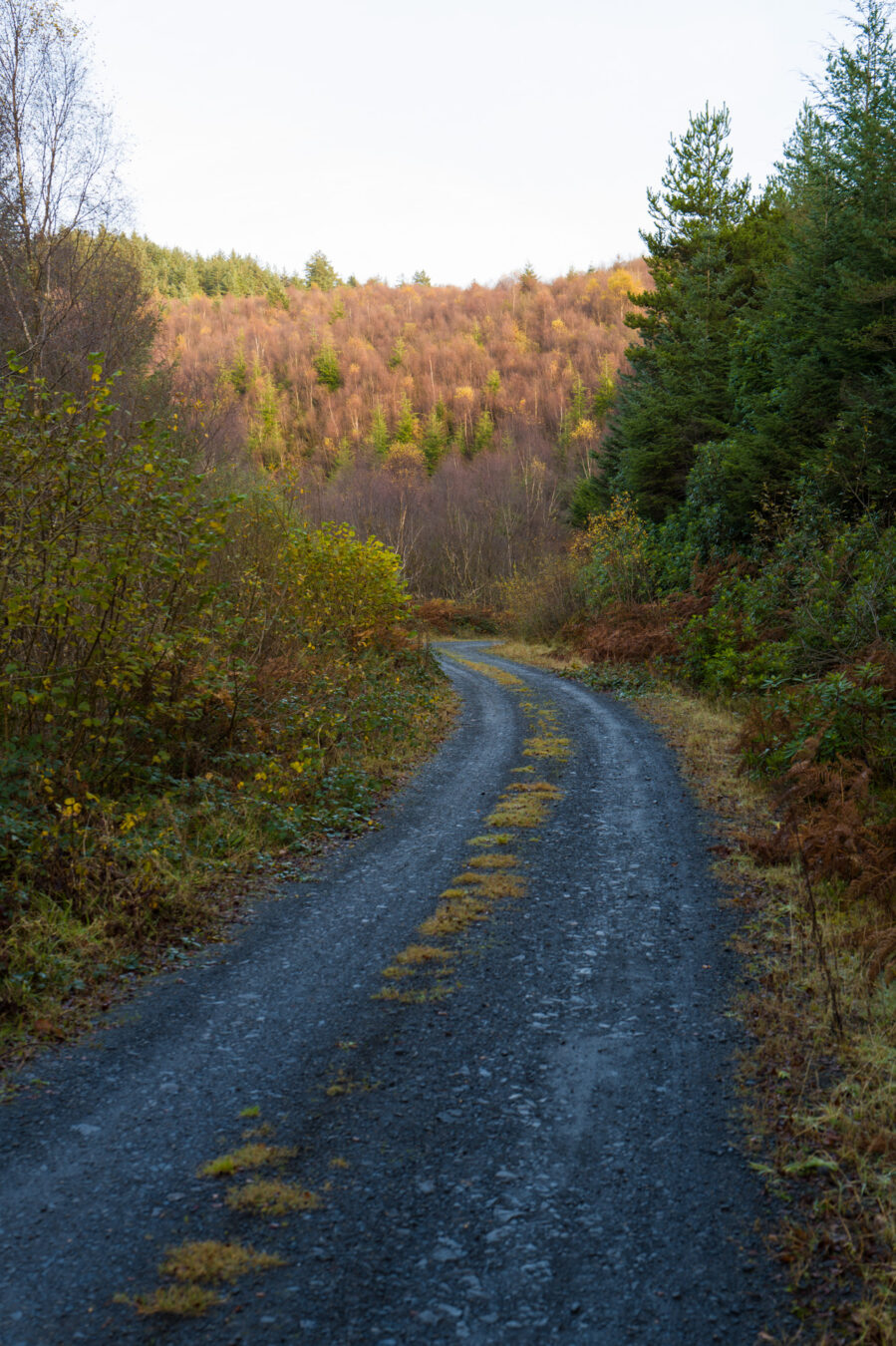
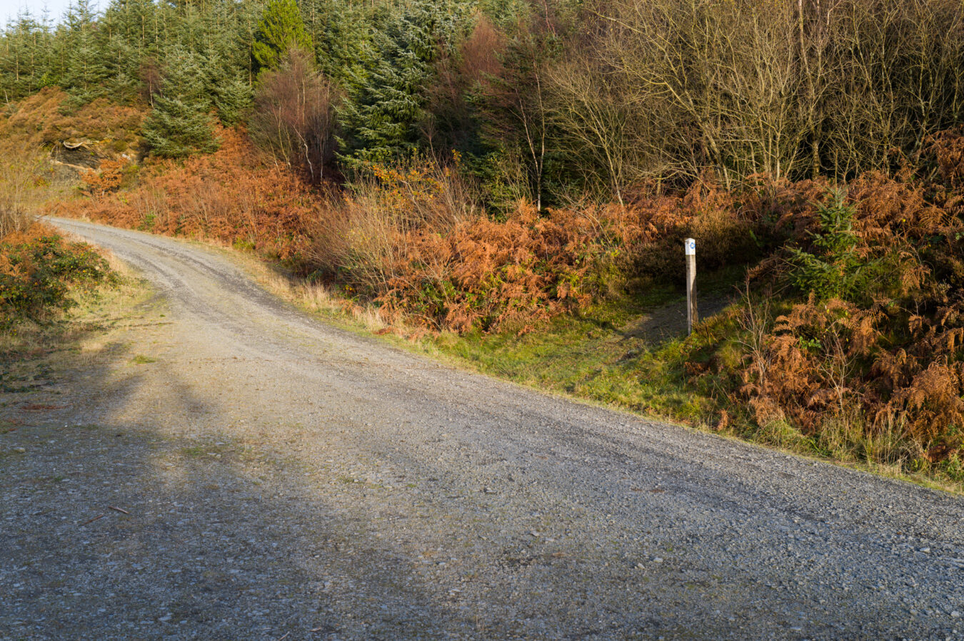
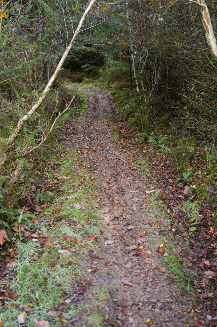
Nearly 2 miles after entering the forest, you will need to turn right onto a narrower path, leaving the main track. A pole with the Wales Coast Path sign marks the direction. This is the final climb: the path is narrow, and often muddy. When I last visited, there were traces of mountain bike tyres, so proceed with extra care.
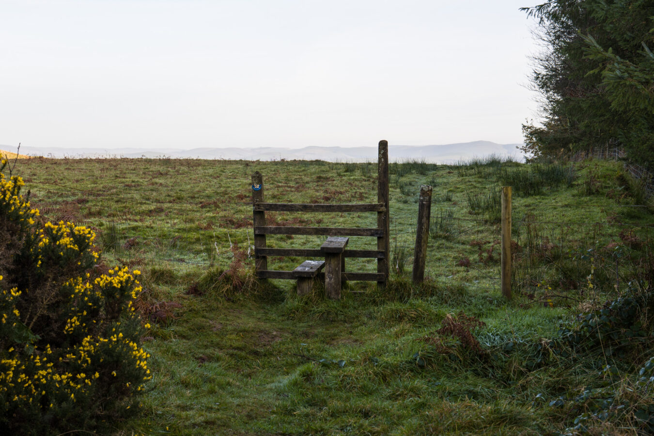
At the top of Foel Gôch hill, you’ll cross over a stile before beginning the final descent.
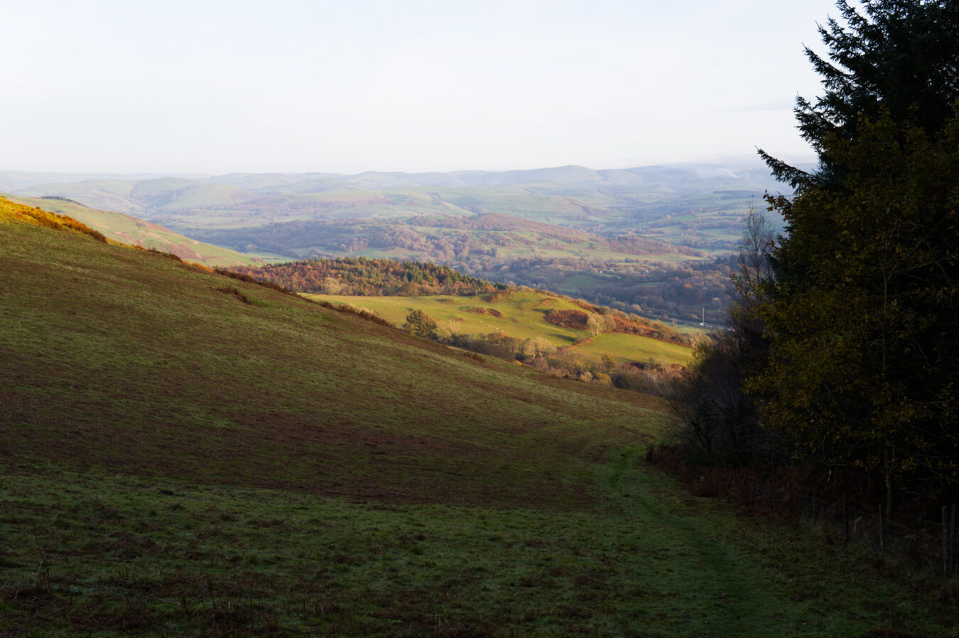
Descent towards Machynlleth – 10.3 mi
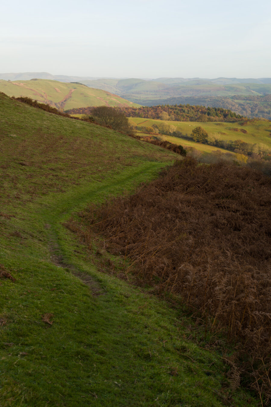
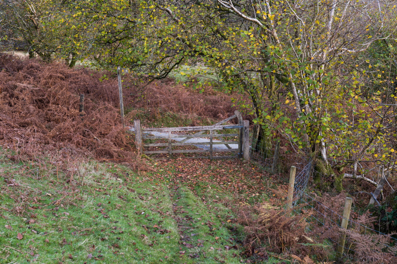
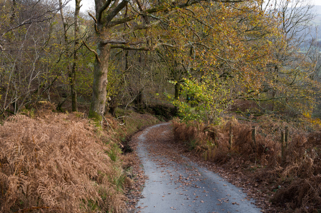
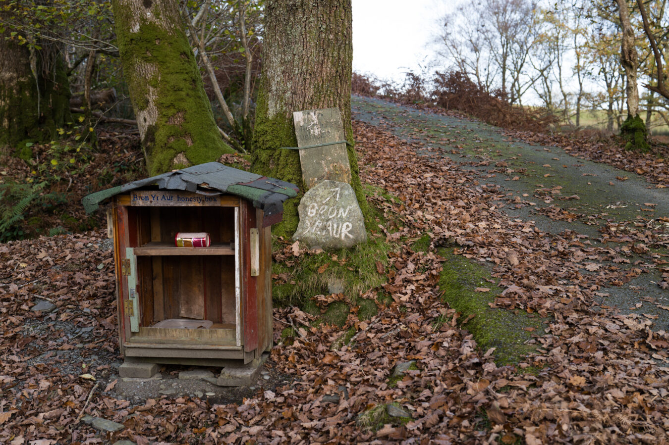
From here, follow the grass path alongside the trees and bushes. Take care, as it’s a steep descent, and nearing the end of the hike, the instinct to go too fast can result in significant leg pain afterwards! You will come to a gate that leads onto a small tarmac road. Turn right and continue downhill. Shortly after, you’ll pass the Bron Yr Aur honesty box and sign on your left.
BRON YR AUR
Bron Yr Aur is a privately owned 18th century cottage best known for its association with the English band Led Zeppelin. It was Robert Plant’s family holiday cottage during the 1950s. Jimmy Page and Robert Plant wrote many songs there during the 70s, many of which are featured on the band’s third and fourth album. More information can be read on Wikipedia.
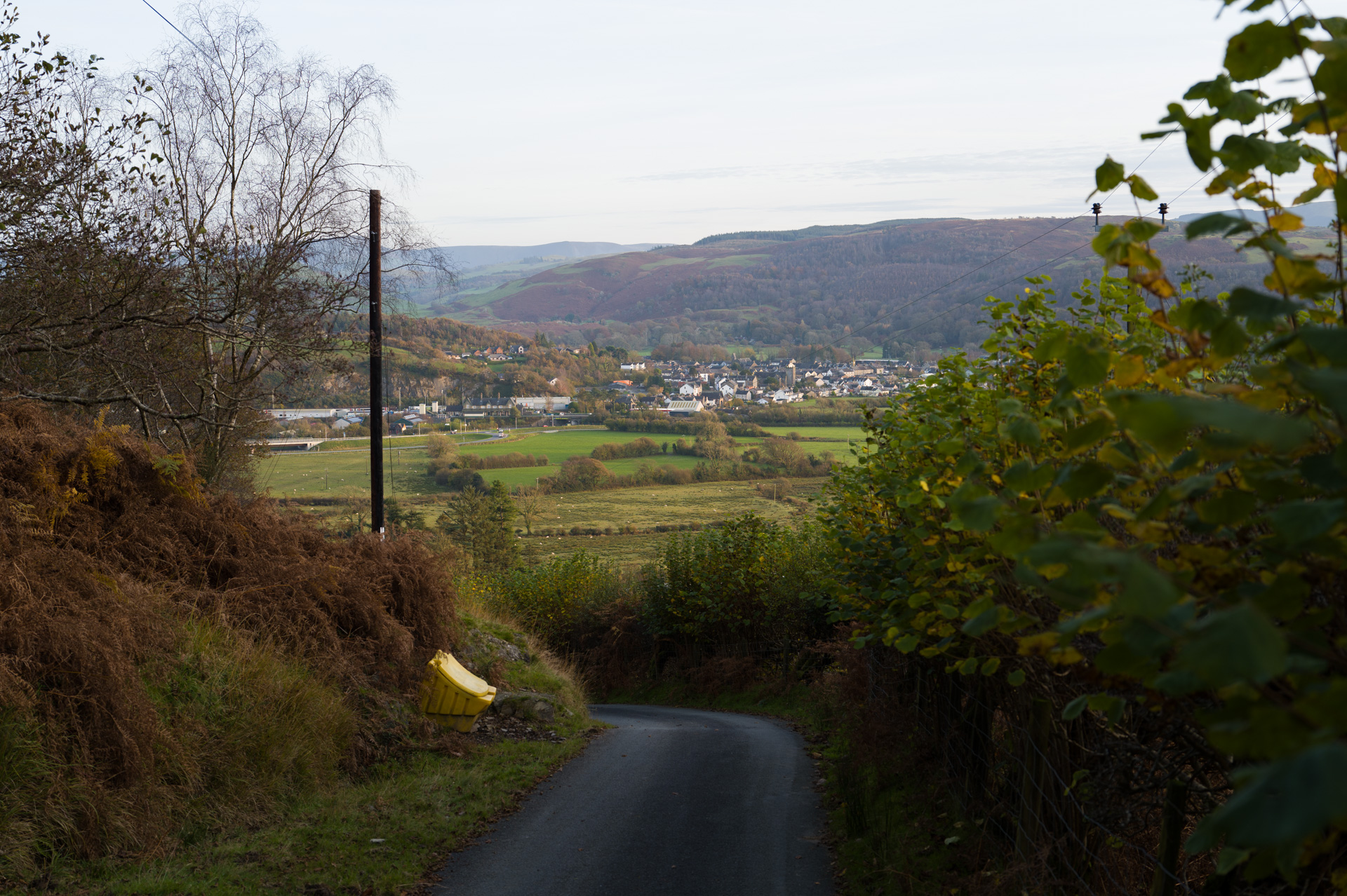
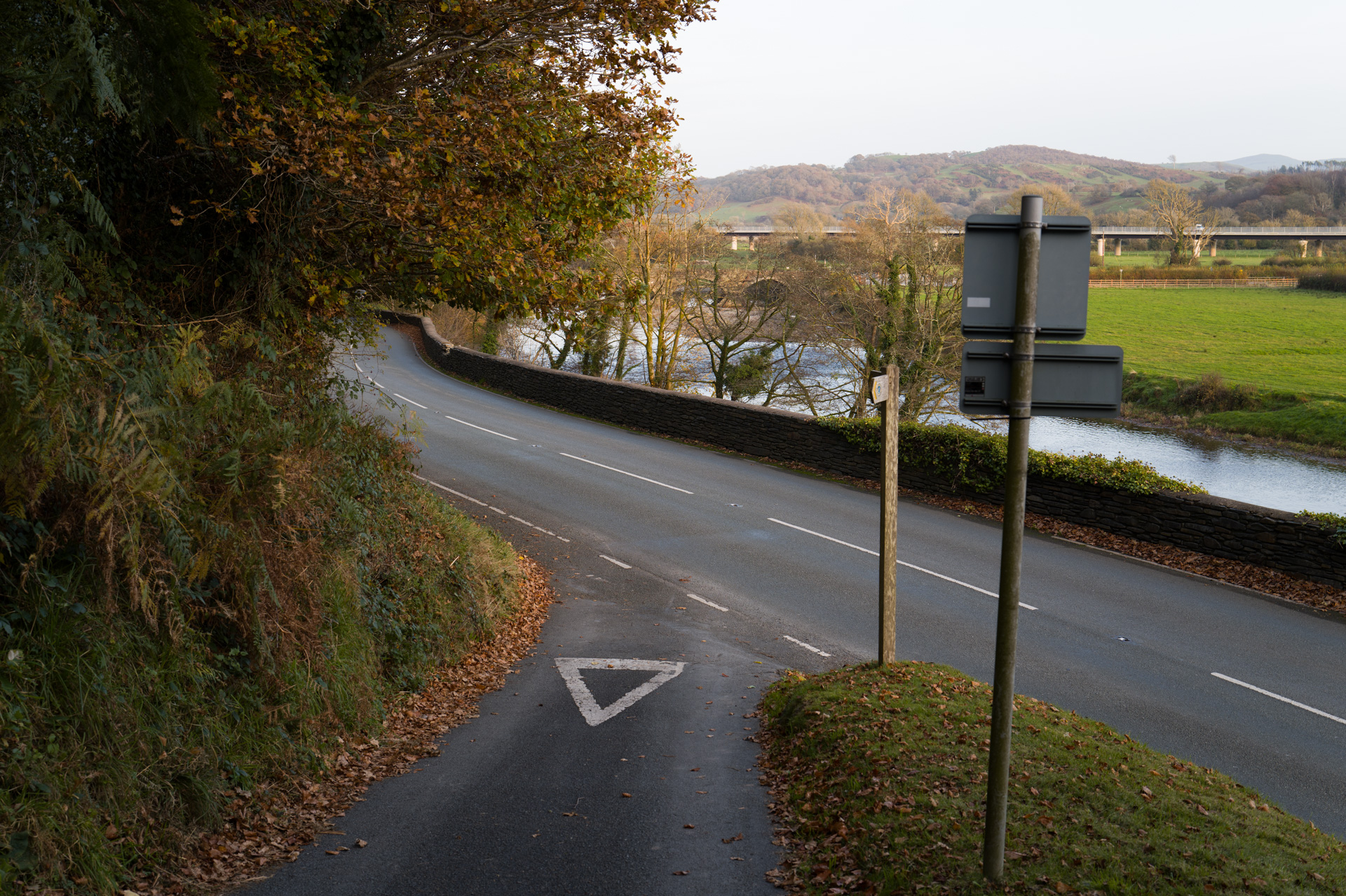
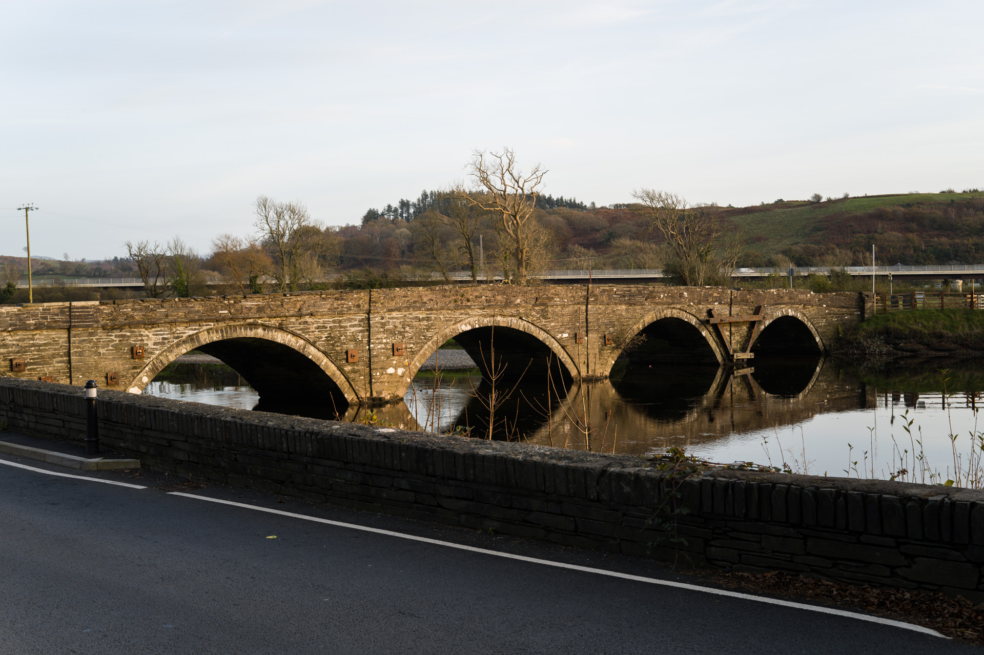
As you continue descending, you’ll catch sight of the large new bridge connecting Machynlleth in the distance. Pass through one final gate before reaching the A493 road. Take extra care here, as you will need to walk along the main road for a few metres before reaching the pavement. Cross the road to traverse the old Dyfi Bridge and enter the town. Congratulations—you’ve made it!
Machynlleth’s Petrol Station – 11.9 mi
The Texaco petrol station features a large shop where you can buy hot and cold snacks and drinks. If you continue towards the town centre, marked by the Clock Tower, you’ll find a selection of pubs and cafés. There is also a Co-op and a Spar for additional shopping options. Please note that Machynlleth’s public toilets are temporarily closed, but you will find some facilities at the petrol and train stations.
Going Back To Aberdyfi
The train station is located opposite the Texaco petrol station.
If you wish to take the bus, walk to the town centre where the Clock Tower is. The bus stop is a few metres beyond the T-junction, opposite the White Lion Hotel.

